William's Wood

Wood, Forest in Worcestershire Wychavon

England

William's Wood

Arable land near Abbots Morton View across arable land to the east of Abbots Morton.
Arable land near Abbots Morton Credit: Philip Halling

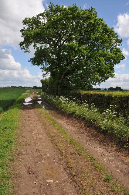
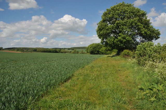
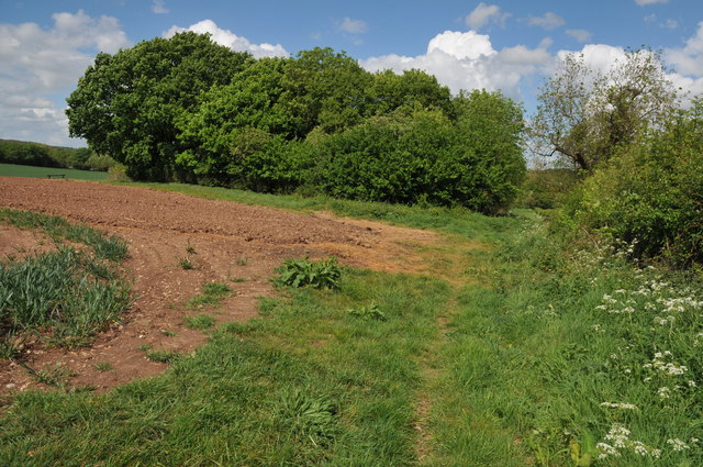
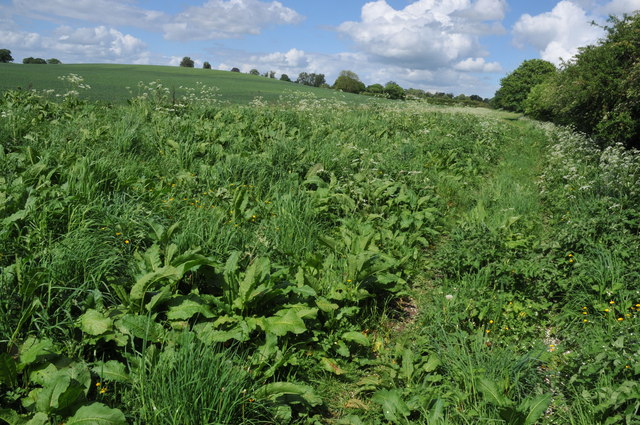
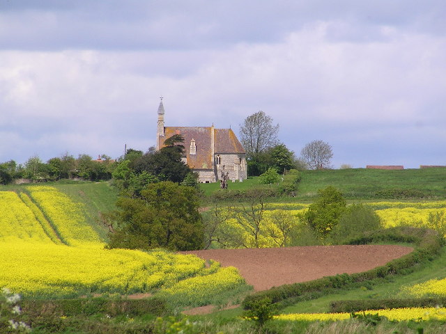
Located in the county of Worcestershire, William's Wood is a picturesque forested area that captivates visitors with its natural beauty and tranquility. Covering a vast expanse of land, this woodland is home to a diverse range of flora and fauna, making it an ideal destination for nature enthusiasts and wildlife lovers.

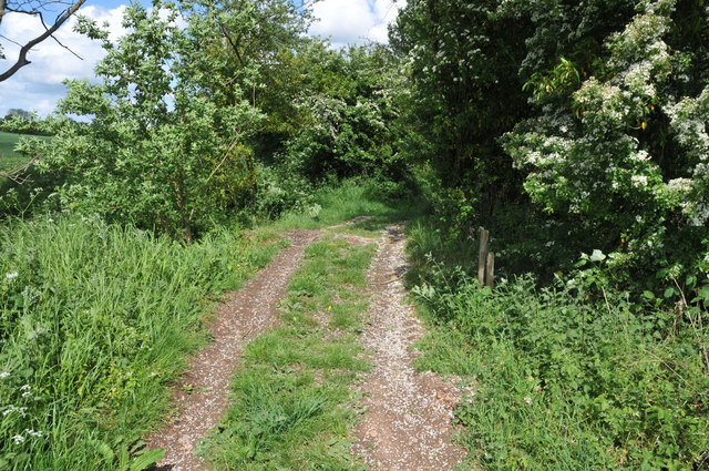
The forest is characterized by its dense canopy of trees, predominantly consisting of oak, beech, and birch. These towering trees provide shade and create a serene atmosphere, inviting visitors to explore the numerous walking trails that wind through the wood. The forest floor is adorned with a delightful carpet of wildflowers, adding bursts of color to the landscape during the spring and summer months.

William's Wood is not only visually appealing but also offers a habitat for an array of wildlife species. Deer, squirrels, and birds are commonly spotted in the area, delighting visitors with their presence. The forest is also home to several rare and protected species, including the great crested newt and the lesser horseshoe bat, making it an important site for conservation efforts.

In addition to its natural wonders, William's Wood is also equipped with basic amenities for visitors. Picnic areas and benches are scattered throughout the forest, allowing visitors to relax and immerse themselves in the peaceful surroundings. Information boards provide educational insights into the local flora and fauna, enhancing the overall experience.

For those seeking an escape from the hustle and bustle of everyday life, William's Wood in Worcestershire offers a perfect retreat, inviting visitors to connect with nature and enjoy the tranquility of this enchanting forest.

If you have any feedback on the listing, please let us know in the comments section below.

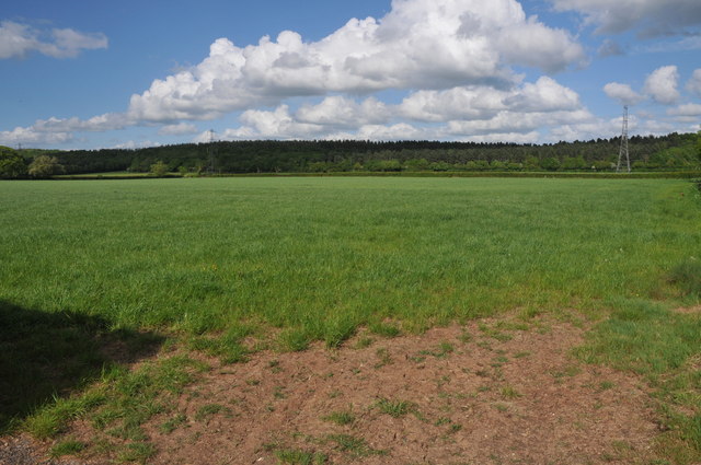
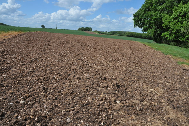
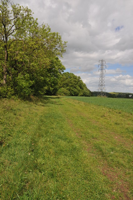
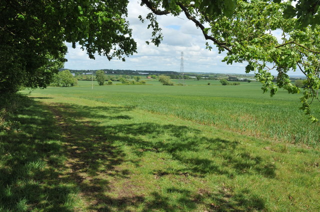
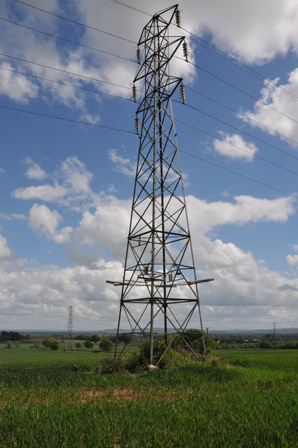
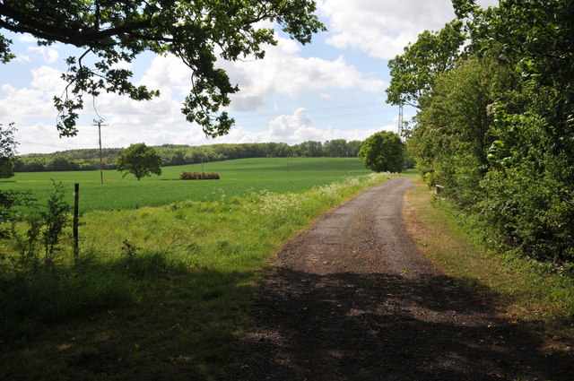
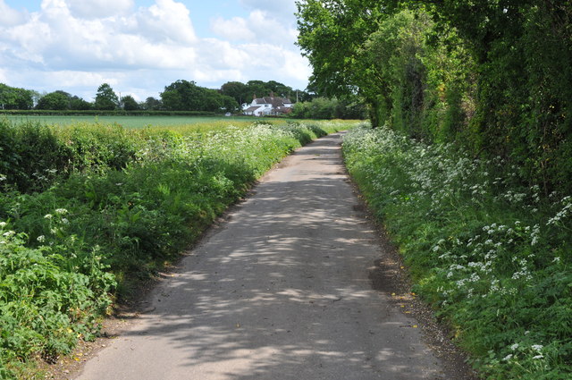
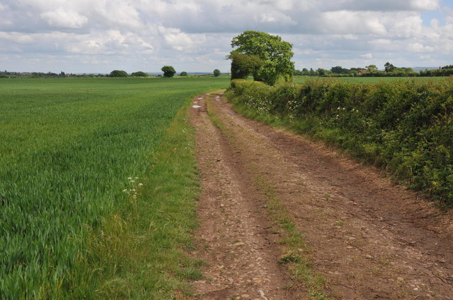
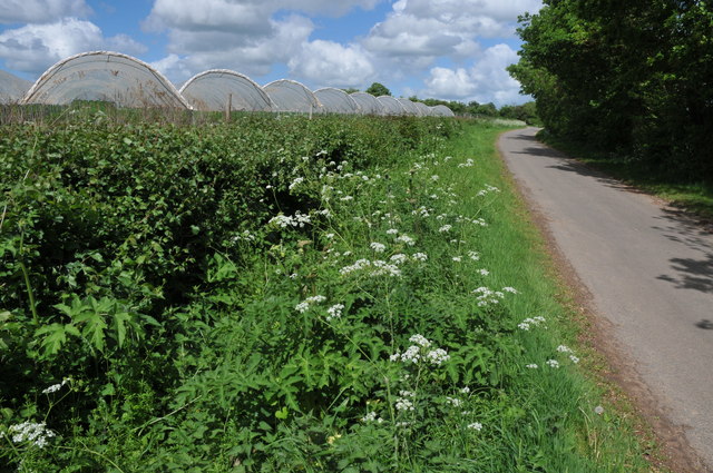
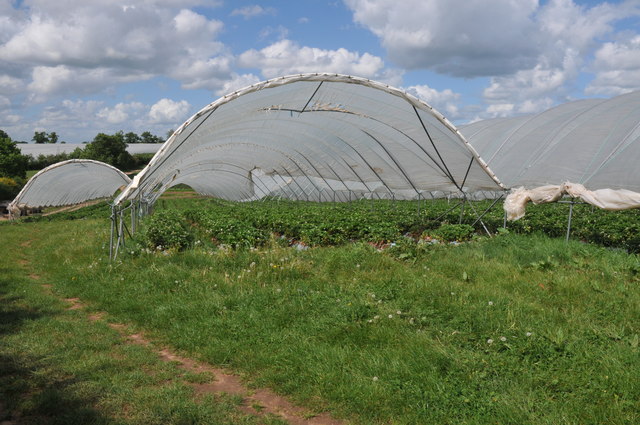
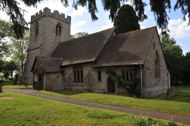
William's Wood Images

Images are sourced within 2km of 52.188206/-1.9385192 or Grid Reference SP0454. Thanks to Geograph Open Source API. All images are credited.

Arable land near Abbots Morton View across arable land to the east of Abbots Morton.
Arable land near Abbots Morton
View across arable land to the east of Abbots Morton.
Arable land at Cock Bevington Arable land viewed from beside a disused mine at Cock Bevington.
Arable land at Cock Bevington
Arable land viewed from beside a disused mine at Cock Bevington.
On the border This bridleway follows the hedgerow which marks the county boundary between Worcestershire and Warwickshire.
On the border
This bridleway follows the hedgerow which marks the county boundary between Worcestershire and Warwickshire.
Arable land at Bevington Waste Arable land viewed from a bridleway at Bevington Waste.
Arable land at Bevington Waste
Arable land viewed from a bridleway at Bevington Waste.
Pylons at Bevington Waste Pylons carry power cables across farmland at Bevington Waste.
Pylons at Bevington Waste
Pylons carry power cables across farmland at Bevington Waste.
Pylons in arable land, Bevington Waste Pylons carry power cables through this large arable field at Bevington Waste.
Pylons in arable land, Bevington Waste
Pylons carry power cables through this large arable field at Bevington Waste.
Track at Cock Bevington Track at Cock Bevington giving access to an electricity substation.
Track at Cock Bevington
Track at Cock Bevington giving access to an electricity substation.
Road at Cock Bevington No through road at Cock Bevington.
Road at Cock Bevington
No through road at Cock Bevington.
Track to Cock Bevington Track and bridleway across arable land to Cock Bevington.
Track to Cock Bevington
Track and bridleway across arable land to Cock Bevington.
Track to Cock Bevington Track and bridleway to Cock Bevington.
Track to Cock Bevington
Track and bridleway to Cock Bevington.
Footpath to Wood Bevington The footpath from Cock Bevington to Wood Bevington follows the hedgerow.
Footpath to Wood Bevington
The footpath from Cock Bevington to Wood Bevington follows the hedgerow.
Site of a disused pit This clump of trees beside a footpath from Cock Bevington to Wood Bevington grow on the site of a disused pit.
Site of a disused pit
This clump of trees beside a footpath from Cock Bevington to Wood Bevington grow on the site of a disused pit.
Crossing Ban Brook This track between fields crosses a small bridge over Ban Brook, a tributary of the River Avon.
Crossing Ban Brook
This track between fields crosses a small bridge over Ban Brook, a tributary of the River Avon.
Footpath to Wood Bevington A footpath follows the hedgerow to the side of this cereal field en route to Wood Bevington.
Footpath to Wood Bevington
A footpath follows the hedgerow to the side of this cereal field en route to Wood Bevington.
Polytunnels at Wood Bevington Polytunnels in a field beside a road at Wood Bevington.
Polytunnels at Wood Bevington
Polytunnels in a field beside a road at Wood Bevington.
Strawberries in Polytunnels There is a considerable area of land at Wood Bevington dedicated to horticulture such as strawberries cultivated here in Polytunnels.
Strawberries in Polytunnels
There is a considerable area of land at Wood Bevington dedicated to horticulture such as strawberries cultivated here in Polytunnels.
Strawberry plants under polythene Strawberry plants are being grown in this field under ploythene to encourage earlier growth here at Wood Bevington.
Strawberry plants under polythene
Strawberry plants are being grown in this field under ploythene to encourage earlier growth here at Wood Bevington.
Abbots Morton church
Show me another place!

William's Wood is located at Grid Ref: SP0454 (Lat: 52.188206, Lng: -1.9385192)

Administrative County: Worcestershire

District: Wychavon

Police Authority: West Mercia

What 3 Words

///roadblock.unlimited.buns. Near Inkberrow, Worcestershire

Related Wikis

Weethley

Weethley is a village and former civil parish on the B4088 road, now in the parish of Arrow with Weethley, in the Stratford-on-Avon district, in the county...

Abbots Morton

Abbots Morton is a village and civil parish in the English county of Worcestershire. It consists of approximately 70 dwellings and 250 people. It retains...

Goom's Hill

Goom's Hill is a location near Abbots Morton in Worcestershire, England.

Arrow with Weethley

Arrow with Weethley is a civil parish in the Stratford-on-Avon district of Warwickshire, England. The parish lies midway between Redditch and Evesham....

Jerwood Foundation's sculpture collection

The Jerwood Foundation's sculpture collection was a collection of 20th- and 21st-century sculptures. They were displayed at Ragley Hall in Warwickshire...

Cookhill Priory

Cookhill Priory was a Cistercian nunnery near Cookhill in Worcestershire, England. == History == The Priory is believed to be founded by Isabel de Mauduit...

Ragley Hall

Ragley Hall in the parish of Arrow in Warwickshire is a stately home, located south of Alcester and eight miles (13 km) west of Stratford-upon-Avon. It...

Radford, Worcestershire

Radford is a hamlet in the Wychavon district of Worcestershire, England. It is 1 mile SSW of Inkberrow. In 2013, Landscan population maps show there to...

Nearby Amenities

Located within 500m of 52.188206,-1.9385192
Post Box
Collection Times: Mo-Fr 16:00; Sa 09:45
Operator: Royal Mail
Post Box Type: lamp
Ref: WR7 68
Royal Cypher: EIIR
Royal Cypher Wikidata: Q33102113
Source: survey
Lat/Long: 52.1900591/-1.937164
Power: tower
Source: bing
Lat/Long: 52.1860878/-1.9390819
Power: tower
Source: bing
Lat/Long: 52.1891202/-1.9393362
Power: tower
Source: bing
Lat/Long: 52.1915701/-1.9394878
Power: pole
Lat/Long: 52.1848203/-1.9419237
Power: pole
Lat/Long: 52.1854004/-1.942165
Power: pole
Lat/Long: 52.1861192/-1.9424539
Power: pole
Lat/Long: 52.1868389/-1.9427497
Power: pole
Lat/Long: 52.187448/-1.9430349
Power: pole
Lat/Long: 52.1881037/-1.9434642
Power: pole
Lat/Long: 52.1887203/-1.9439129
Power: pole
Lat/Long: 52.1892244/-1.9442585
Power: pole
Lat/Long: 52.189941/-1.9447684
Morton Spirt
Power: pole
Transformer: distribution
Voltage Primary: 11000
Lat/Long: 52.1900472/-1.9375795
Location Transition: yes
Power: pole
Lat/Long: 52.1899823/-1.9386135
Location Transition: yes
Power: pole
Lat/Long: 52.1899757/-1.9398996
Power: pole
Lat/Long: 52.1899765/-1.9412863
Power: pole
Lat/Long: 52.1899576/-1.9426301
Power: pole
Lat/Long: 52.1899584/-1.94399
The data included in this document is from www.openstreetmap.org. The data is made available under ODbL.

Have you been to William's Wood?

Leave your review of William's Wood below (or comments, questions and feedback).