Culford

Settlement in Suffolk West Suffolk

England

Culford

Culford War Memorial Culford War Memorial and village Hall.
Culford War Memorial Credit: Philip Halling

Culford is a small village located in the county of Suffolk, England. Situated approximately 5 miles north-west of the town of Bury St Edmunds, Culford is nestled in the picturesque countryside of East Anglia. With a population of around 400, it is a close-knit community that offers a peaceful and idyllic environment.

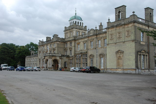
One of the significant landmarks in Culford is Culford Hall, a grand Georgian mansion surrounded by extensive parkland. The mansion dates back to the 18th century and has a rich history, having been the residence of various notable families. Today, it serves as the main building for Culford School, an independent co-educational institution that caters to students aged 3 to 18.

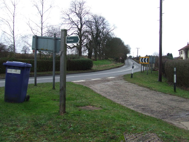
The village itself has a charming character, with a mix of traditional cottages and more modern houses. It offers basic amenities such as a village hall, a parish church, and a pub, providing a sense of community and meeting places for locals. The surrounding countryside features rolling hills, open fields, and woodlands, making it a popular destination for nature lovers and outdoor enthusiasts.

Culford is well-positioned for those seeking a balance between rural tranquility and access to urban amenities. The nearby town of Bury St Edmunds offers a wider range of shops, restaurants, and leisure facilities. Additionally, the village benefits from good transportation links, with the A14 road passing nearby and providing easy access to other towns and cities in the region.

Overall, Culford, Suffolk offers a peaceful and picturesque setting, steeped in history and surrounded by beautiful countryside, making it an appealing place to live or visit.

If you have any feedback on the listing, please let us know in the comments section below.

Culford Images

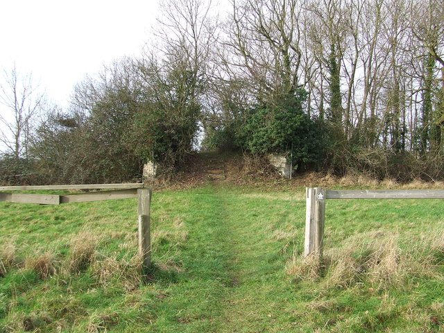
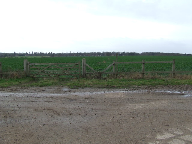
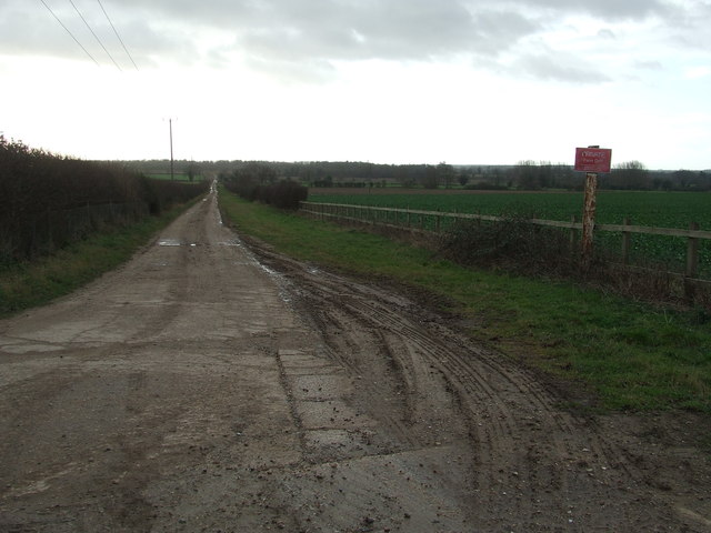
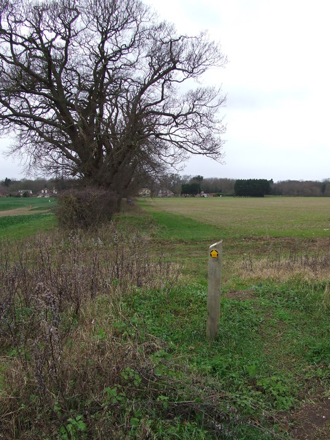
Images are sourced within 2km of 52.296818/0.69294036 or Grid Reference TL8369. Thanks to Geograph Open Source API. All images are credited.

Culford War Memorial Culford War Memorial and village Hall.
Culford War Memorial
Culford War Memorial and village Hall.
Culford War Memorial
The War Memorial at Culford
The churchyard at St. Mary's church in Culford
View from Culford school building Culford School, clearly based on a former mansion and its parkland, is now big enough to be a village in itself, although it is actually in the middle of the village of Culford. This is the view from the old main building, from a large room that was perhaps a ballroom.
View from Culford school building
Culford School, clearly based on a former mansion and its parkland, is now big enough to be a village in itself, although it is actually in the middle of the village of Culford. This is the view from the old main building, from a large room that was perhaps a ballroom.
View from corridor end, Culford School A view across the very neat lawns and over the small valley containing the lake.
View from corridor end, Culford School
A view across the very neat lawns and over the small valley containing the lake.
Parkland at Culford School Viewed from just in front of the original old building, this gives an idea of a small part of the surroundings of this private school. 

I would have loved to attend a school with these kind of facilities - I wonder if the current pupils appreciate what they have got. However it must be a nightmare for staff if pupils decide to wander off.

There are cars parked on the grass due to the high attendance at one of the regular Art Deco and Retro fairs.
Parkland at Culford School
Viewed from just in front of the original old building, this gives an idea of a small part of the surroundings of this private school. I would have loved to attend a school with these kind of facilities - I wonder if the current pupils appreciate what they have got. However it must be a nightmare for staff if pupils decide to wander off. There are cars parked on the grass due to the high attendance at one of the regular Art Deco and Retro fairs.
Art Deco and Retro Fair in school building While one might be envious of having spectacular buildings like this for a school room, it has to be admitted that Culford School have done a very good job of keeping it in good condition.
Art Deco and Retro Fair in school building
While one might be envious of having spectacular buildings like this for a school room, it has to be admitted that Culford School have done a very good job of keeping it in good condition.
Ceiling detail, Culford School A spectacular ceiling in perfect condition. With very neat uplighting to show it off. Photographed during an Art Deco and Retro Fair.
Ceiling detail, Culford School
A spectacular ceiling in perfect condition. With very neat uplighting to show it off. Photographed during an Art Deco and Retro Fair.
Wall decorations, Culford School Really impressive decoration in perfect state of preservation. 

Photo taken during an Art Deco and Retro fair.
Wall decorations, Culford School
Really impressive decoration in perfect state of preservation. Photo taken during an Art Deco and Retro fair.
Old Bridge Old bridge across the disused Bury to Thetford railway line, now only used as a footbridge near to Ingham, Suffolk.
Old Bridge
Old bridge across the disused Bury to Thetford railway line, now only used as a footbridge near to Ingham, Suffolk.
Gate And Stile Gate stile and footpath with the path leading to Culford as seen from near to Ingham, Suffolk.
Gate And Stile
Gate stile and footpath with the path leading to Culford as seen from near to Ingham, Suffolk.
Farm Track Farm track looking south near to Ingham, Suffolk.
Farm Track
Farm track looking south near to Ingham, Suffolk.
Footpath Footpath near to Culford, Suffolk.
Footpath
Footpath near to Culford, Suffolk.
Entering Culford Entering Culford, Suffolk on the B1106.
Entering Culford
Entering Culford, Suffolk on the B1106.
Road Junction Road junction near to Brockley Corner, Suffolk.
Road Junction
Road junction near to Brockley Corner, Suffolk.
Road Junction Road junction at Brockley Corner, Suffolk.
Road Junction
Road junction at Brockley Corner, Suffolk.
Bend Road scene at Brockley Corner, Suffolk.
Bend
Road scene at Brockley Corner, Suffolk.
Show me another place!

Culford is located at Grid Ref: TL8369 (Lat: 52.296818, Lng: 0.69294036)

Administrative County: Suffolk

District: West Suffolk

Police Authority: Suffolk

What 3 Words

///hears.yarn.denoting. Near Bury St Edmunds, Suffolk

Related Wikis

Culford

Culford is a village and civil parish about 4 miles (6 km) north of Bury St Edmunds and 62 miles (100 km) north east of London in the West Suffolk district...

Culford Park

Culford Park in Culford, Suffolk, England, is a country house that is the former seat of the Bacon, Cornwallis and Cadogan families, and now it is the...

Culford School

Culford School is a co-educational private boarding and day school for pupils age 1–18 in the village of Culford, 4 miles (6.4 km) miles north of Bury...

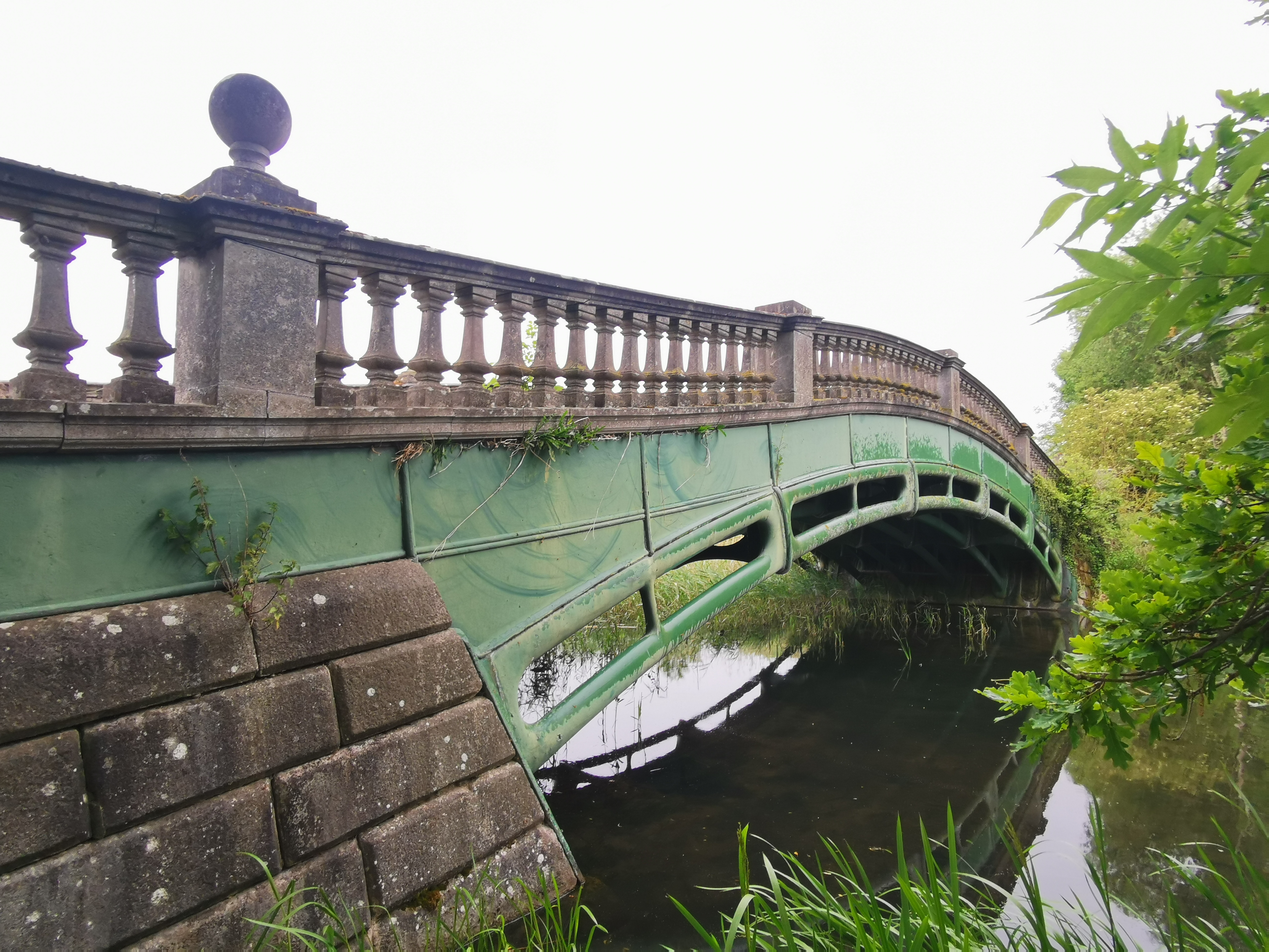
The Iron Bridge, Culford Park

The Iron Bridge is a grade I listed early cast iron bridge crossing a tributary of the River Lark in grounds of Culford Park in the village of Culford...

Nearby Amenities

Located within 500m of 52.296818,0.69294036
Culford
Place: hamlet
Wikidata: Q5192920
Lat/Long: 52.2979301/0.6945693
Bus Stop
Naptan AtcoCode: 390050597
Naptan Bearing: S
Naptan CommonName: School
Naptan Indicator: opp
Naptan Landmark: School
Naptan NaptanCode: sufgjdjd
Naptan Street: The Street
Source: naptan_import;survey
Lat/Long: 52.3006497/0.693754
School
Naptan AtcoCode: 390050598
Naptan Bearing: N
Naptan BusStopType: CUS
Naptan CommonName: School
Naptan Indicator: o/s
Naptan Landmark: School
Naptan NaptanCode: sufgjdjg
Naptan Street: The Street
Naptan Verified: no
Source: naptan_import
Lat/Long: 52.3007835/0.693669
Traffic Calming: bump
Lat/Long: 52.3010353/0.6918542
Traffic Calming: bump
Lat/Long: 52.300793/0.6926246
Traffic Calming: bump
Lat/Long: 52.2978271/0.6916819
Post Box
Collection Times: Mo-Fr 17:00; Sa 11:15
Post Box Mounting: pier
Post Box Type: lamp
Ref: IP28 2199
Royal Cypher: EIIR
Royal Cypher Wikidata: Q33102113
Lat/Long: 52.3005354/0.693748
Public Bookcase
Booth: K6
Covered: booth
Disused Amenity: telephone
Man Made: telephone_box
Old Phone: +44 1284 728322
Public Bookcase Type: phone_box
Lat/Long: 52.3005574/0.6937555
Fixme: incomplete
Lat/Long: 52.2946781/0.6940296
Waste Basket
Waste: dog_excrement
Lat/Long: 52.3005042/0.6937406
Waste Basket
Lat/Long: 52.3007574/0.6938134
Bench
Lat/Long: 52.3007672/0.6938154
Generator Method: photovoltaic
Generator Solar Modules: 13
Generator Source: solar
Generator Type: solar_photovoltaic_panel
Location: ground
Orientation: 140
Power: generator
Lat/Long: 52.2945895/0.6924954
The data included in this document is from www.openstreetmap.org. The data is made available under ODbL.

Have you been to Culford?

Leave your review of Culford below (or comments, questions and feedback).