Culfordheath

Settlement in Suffolk West Suffolk

England

Culfordheath

Dark Sky Dark sky in the distance near to Wordwell, Suffolk.
Dark Sky Credit: Keith Evans

Culfordheath is a charming village nestled in the heart of Suffolk, England. Located approximately 8 miles northeast of Bury St. Edmunds, this peaceful and picturesque settlement offers residents and visitors a tranquil countryside escape.

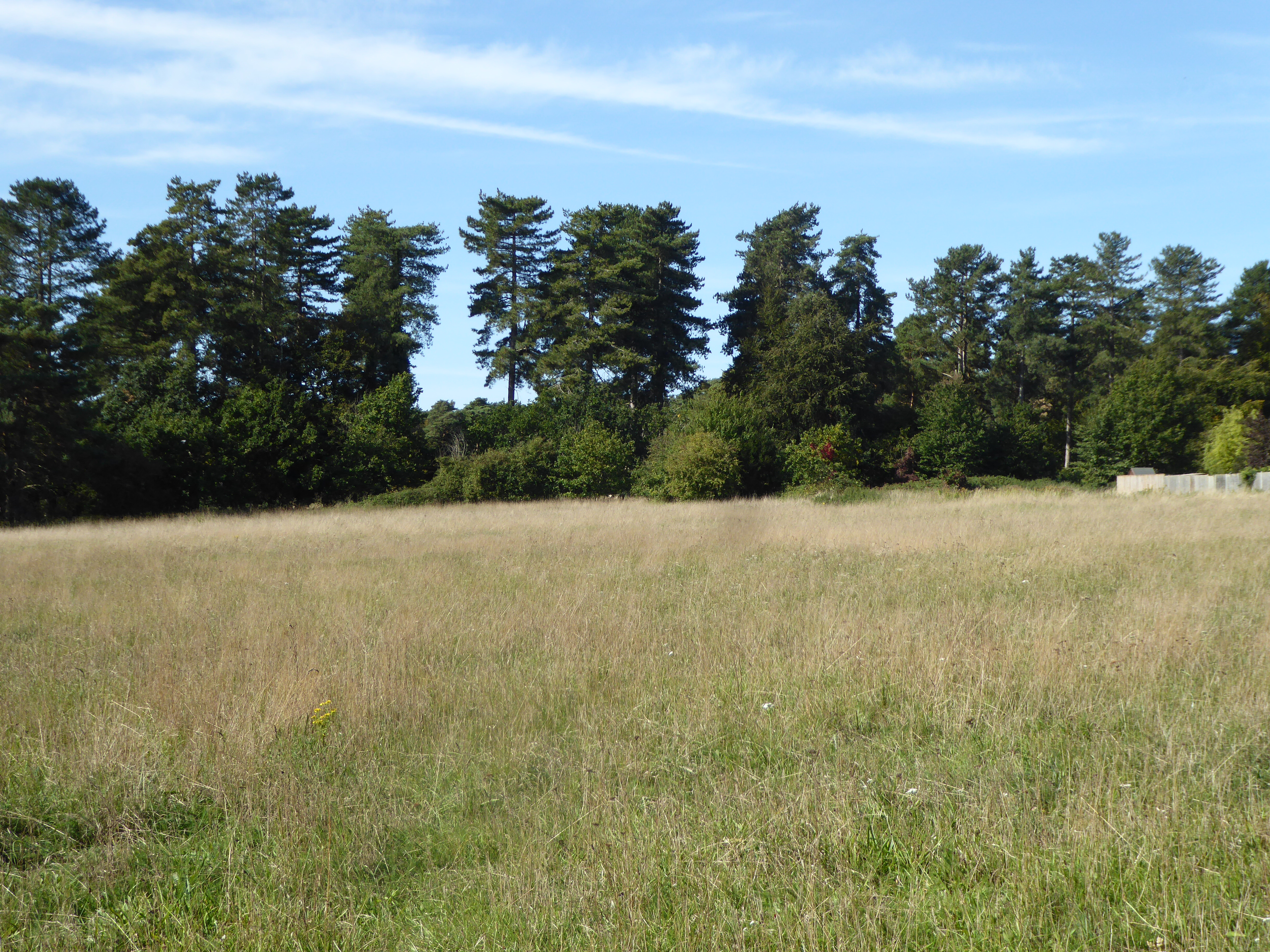
Surrounded by rolling hills, lush green fields, and picturesque woodlands, Culfordheath is renowned for its natural beauty. The village is characterized by idyllic thatched-roof cottages, historic buildings, and a sense of community that resonates throughout.

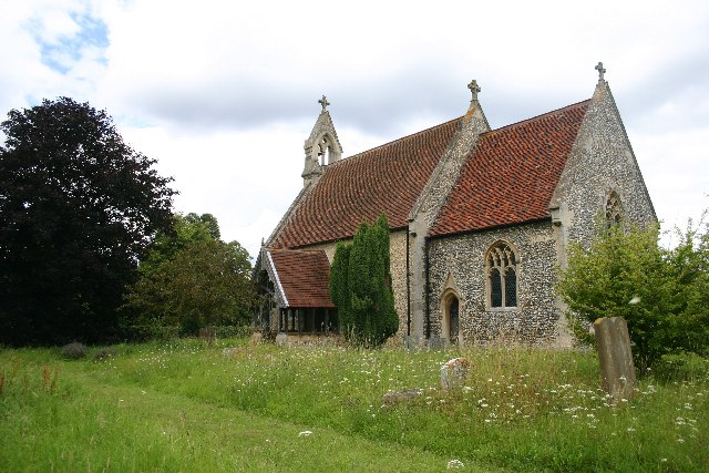
One of the notable landmarks in Culfordheath is St. Mary's Church, a magnificent medieval structure that dates back to the 13th century. Its stunning architecture and peaceful atmosphere make it a popular destination for history enthusiasts and those seeking solace.

Culfordheath is also home to Culford School, a prestigious independent boarding and day school. The school's extensive grounds encompass a 480-acre estate, which includes a beautiful lake and well-maintained sports facilities. The presence of Culford School contributes to the village's vibrant atmosphere and provides educational opportunities for both local and international students.

Despite its rural setting, Culfordheath benefits from its proximity to larger towns and cities. Bury St. Edmunds, with its abundance of shops, restaurants, and cultural attractions, is just a short drive away. Additionally, the village's convenient location allows for easy access to major transportation links, making it an ideal base for exploring the wider Suffolk region.

In conclusion, Culfordheath is a hidden gem in Suffolk, offering residents and visitors a peaceful and picturesque village experience. With its natural beauty, rich history, and proximity to amenities, it is a place that truly captures the essence of rural England.

If you have any feedback on the listing, please let us know in the comments section below.
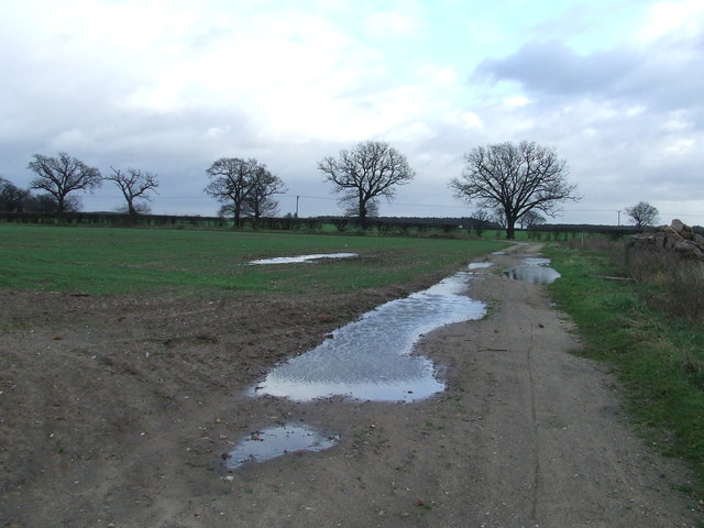
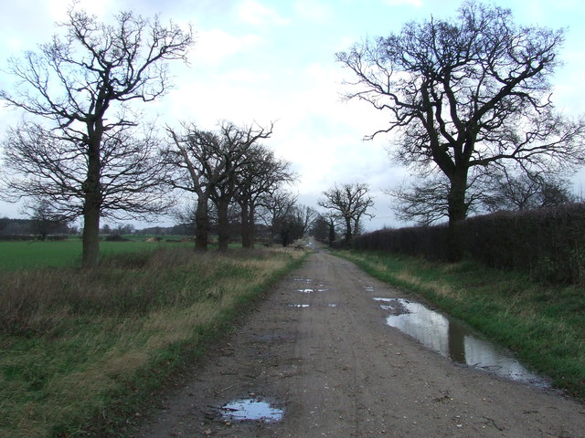
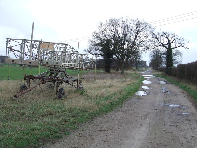
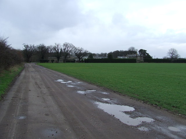
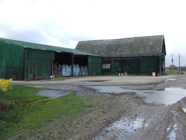
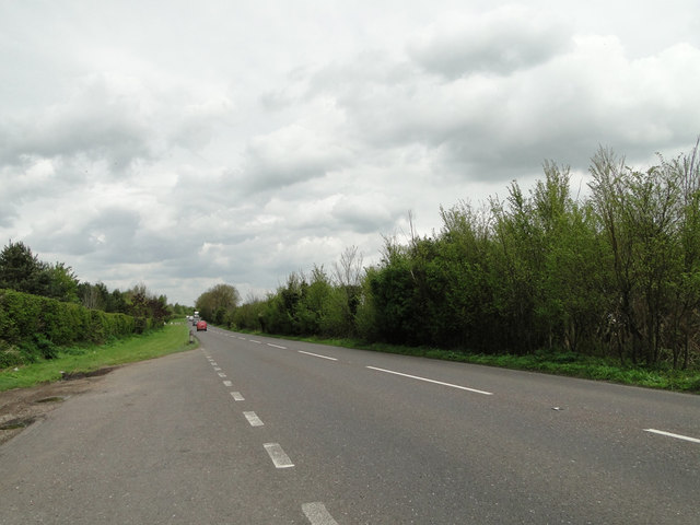
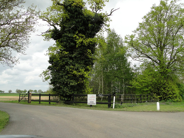
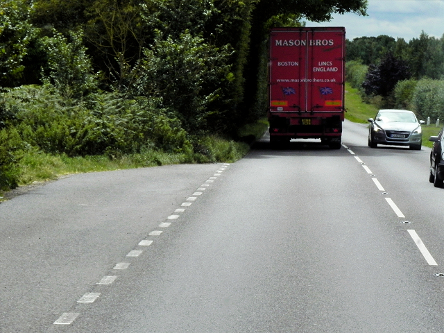
Culfordheath Images

Images are sourced within 2km of 52.332888/0.71374518 or Grid Reference TL8574. Thanks to Geograph Open Source API. All images are credited.

Dark Sky Dark sky in the distance near to Wordwell, Suffolk.
Dark Sky
Dark sky in the distance near to Wordwell, Suffolk.
Footpath Footpath looking east near to Wordwell, Suffolk.
Footpath
Footpath looking east near to Wordwell, Suffolk.
Coopers Drift Looking north along a farm track marked on the map as Coopers Drift near to Ampton, Suffolk.
Coopers Drift
Looking north along a farm track marked on the map as Coopers Drift near to Ampton, Suffolk.
Farm Machinery Farm machinery at the side of Coopers Drift near to Ampton, Suffolk.
Farm Machinery
Farm machinery at the side of Coopers Drift near to Ampton, Suffolk.
Neville House Farm Distant view of Neville House Farm near to Ampton, Suffolk.
Neville House Farm
Distant view of Neville House Farm near to Ampton, Suffolk.
Muddy Track Track looking south near to Ampton, Suffolk.
Muddy Track
Track looking south near to Ampton, Suffolk.
Bodney Farm Old farm buildings at Bodney Farm near to Ampton, Suffolk.
Bodney Farm
Old farm buildings at Bodney Farm near to Ampton, Suffolk.
A layby on the A134
A layby on the A134
The entrance to Culford Lodge Farms from the A134
Layby on the Southbound A134 The A134 road runs for 71 miles between Colchester, in Essex, and Tottenhill, a few miles to the south of King's Lynn, in Norfolk. Other towns on the A134 road include Sudbury, Bury St. Edmunds and Thetford. 

The A134 used to be the main route for commercial traffic from the North to the port of Felixstowe; however since the construction of the A14 very little commercial traffic uses it.

More detailed information at <span class="nowrap"><a title="http://www.sabre-roads.org.uk/wiki/index.php?title=A134" rel="nofollow ugc noopener" href="http://www.sabre-roads.org.uk/wiki/index.php?title=A134">Link</a><img style="margin-left:2px;" alt="External link" title="External link - shift click to open in new window" src="https://s1.geograph.org.uk/img/external.png" width="10" height="10"/></span>  SABRE Wiki
Layby on the Southbound A134
The A134 road runs for 71 miles between Colchester, in Essex, and Tottenhill, a few miles to the south of King's Lynn, in Norfolk. Other towns on the A134 road include Sudbury, Bury St. Edmunds and Thetford. The A134 used to be the main route for commercial traffic from the North to the port of Felixstowe; however since the construction of the A14 very little commercial traffic uses it. More detailed information at LinkExternal link SABRE Wiki
A134 Northbound The A134 road runs for 71 miles between Colchester, in Essex, and Tottenhill, a few miles to the south of King's Lynn, in Norfolk. Other towns on the A134 road include Sudbury, Bury St. Edmunds and Thetford. 

The A134 used to be the main route for commercial traffic from the North to the port of Felixstowe; however since the construction of the A14 very little commercial traffic uses it.

More detailed information at <span class="nowrap"><a title="http://www.sabre-roads.org.uk/wiki/index.php?title=A134" rel="nofollow ugc noopener" href="http://www.sabre-roads.org.uk/wiki/index.php?title=A134">Link</a><img style="margin-left:2px;" alt="External link" title="External link - shift click to open in new window" src="https://s1.geograph.org.uk/img/external.png" width="10" height="10"/></span>  SABRE Wiki
A134 Northbound
The A134 road runs for 71 miles between Colchester, in Essex, and Tottenhill, a few miles to the south of King's Lynn, in Norfolk. Other towns on the A134 road include Sudbury, Bury St. Edmunds and Thetford. The A134 used to be the main route for commercial traffic from the North to the port of Felixstowe; however since the construction of the A14 very little commercial traffic uses it. More detailed information at LinkExternal link SABRE Wiki
Southbound A134, Sevenhills Cottages The A134 road runs for 71 miles between Colchester, in Essex, and Tottenhill, a few miles to the south of King's Lynn, in Norfolk. Other towns on the A134 road include Sudbury, Bury St. Edmunds and Thetford. 

The A134 used to be the main route for commercial traffic from the North to the port of Felixstowe; however since the construction of the A14 very little commercial traffic uses it.

More detailed information at <span class="nowrap"><a title="http://www.sabre-roads.org.uk/wiki/index.php?title=A134" rel="nofollow ugc noopener" href="http://www.sabre-roads.org.uk/wiki/index.php?title=A134">Link</a><img style="margin-left:2px;" alt="External link" title="External link - shift click to open in new window" src="https://s1.geograph.org.uk/img/external.png" width="10" height="10"/></span>  SABRE Wiki
Southbound A134, Sevenhills Cottages
The A134 road runs for 71 miles between Colchester, in Essex, and Tottenhill, a few miles to the south of King's Lynn, in Norfolk. Other towns on the A134 road include Sudbury, Bury St. Edmunds and Thetford. The A134 used to be the main route for commercial traffic from the North to the port of Felixstowe; however since the construction of the A14 very little commercial traffic uses it. More detailed information at LinkExternal link SABRE Wiki
Northbound A134 The A134 road runs for 71 miles between Colchester, in Essex, and Tottenhill, a few miles to the south of King's Lynn, in Norfolk. Other towns on the A134 road include Sudbury, Bury St. Edmunds and Thetford. 

The A134 used to be the main route for commercial traffic from the North to the port of Felixstowe; however since the construction of the A14 very little commercial traffic uses it.

More detailed information at <span class="nowrap"><a title="http://www.sabre-roads.org.uk/wiki/index.php?title=A134" rel="nofollow ugc noopener" href="http://www.sabre-roads.org.uk/wiki/index.php?title=A134">Link</a><img style="margin-left:2px;" alt="External link" title="External link - shift click to open in new window" src="https://s1.geograph.org.uk/img/external.png" width="10" height="10"/></span>  SABRE Wiki
Northbound A134
The A134 road runs for 71 miles between Colchester, in Essex, and Tottenhill, a few miles to the south of King's Lynn, in Norfolk. Other towns on the A134 road include Sudbury, Bury St. Edmunds and Thetford. The A134 used to be the main route for commercial traffic from the North to the port of Felixstowe; however since the construction of the A14 very little commercial traffic uses it. More detailed information at LinkExternal link SABRE Wiki
Crop field east of the A134 The A134 road runs for 71 miles between Colchester, in Essex, and Tottenhill, a few miles to the south of King's Lynn, in Norfolk. Other towns on the A134 road include Sudbury, Bury St. Edmunds and Thetford. 

The A134 used to be the main route for commercial traffic from the North to the port of Felixstowe; however since the construction of the A14 very little commercial traffic uses it.

More detailed information at <span class="nowrap"><a title="http://www.sabre-roads.org.uk/wiki/index.php?title=A134" rel="nofollow ugc noopener" href="http://www.sabre-roads.org.uk/wiki/index.php?title=A134">Link</a><img style="margin-left:2px;" alt="External link" title="External link - shift click to open in new window" src="https://s1.geograph.org.uk/img/external.png" width="10" height="10"/></span>  SABRE Wiki
Crop field east of the A134
The A134 road runs for 71 miles between Colchester, in Essex, and Tottenhill, a few miles to the south of King's Lynn, in Norfolk. Other towns on the A134 road include Sudbury, Bury St. Edmunds and Thetford. The A134 used to be the main route for commercial traffic from the North to the port of Felixstowe; however since the construction of the A14 very little commercial traffic uses it. More detailed information at LinkExternal link SABRE Wiki
A134 towards Thetford  Heading north east.
A134 towards Thetford
Heading north east.
Sevenhills Cottages On the A134.
Sevenhills Cottages
On the A134.
Gateway, Seven Hills House Off the A134.
Gateway, Seven Hills House
Off the A134.
A134 towards Thetford  Heading north.
A134 towards Thetford
Heading north.
Show me another place!

Culfordheath is located at Grid Ref: TL8574 (Lat: 52.332888, Lng: 0.71374518)

Administrative County: Suffolk

District: West Suffolk

Police Authority: Suffolk

What 3 Words

///expressed.unspoiled.jolt. Near Great Barton, Suffolk

Related Wikis

Seven Hills Halt railway station

Seven Hills Halt railway station was a railway station in Suffolk, England on the branch line between Thetford and Bury St Edmunds. It was closed in 1953...

Elm Road Field, Thetford

Elm Road Field, Thetford is a 5-hectare (12-acre) biological Site of Special Scientific Interest on the southern outskirts of Thetford in Norfolk.This...

Wordwell

Wordwell is a small village and civil parish in Suffolk, England, about five miles North of Bury St Edmunds. The village was hit by the Black Death in...

Little Livermere

Little Livermere is a village and civil parish in England situated about 5 miles (8 km) north of Bury St Edmunds, in an area of Suffolk known as the Breckland...

All Saints Church, Wordwell

All Saints Church is a redundant Anglican church in the village of Wordwell, Suffolk, England. It is recorded in the National Heritage List for England...

Ingham railway station

Ingham railway station was a railway station in Ingham, Suffolk which was located was on the route between Thetford and Bury St Edmunds. == History... ==

Ingham, Suffolk

Ingham is a village and civil parish in the West Suffolk district of Suffolk in eastern England, located about six miles north of Bury St Edmunds on the...

Ampton

Ampton is a village and civil parish in the West Suffolk District of Suffolk, England, about five miles north of Bury St Edmunds. According to Eilert Ekwall...

Nearby Amenities

Located within 500m of 52.332888,0.71374518
Power: pole
Lat/Long: 52.3294225/0.7152729
Power: pole
Lat/Long: 52.3304234/0.7153807
Power: pole
Lat/Long: 52.331438/0.7157958
Power: pole
Lat/Long: 52.3324448/0.7162012
Power: pole
Lat/Long: 52.3334771/0.7166163
Power: pole
Lat/Long: 52.3345015/0.7170089
Power: pole
Lat/Long: 52.3355083/0.7174242
Power: pole
Lat/Long: 52.3365785/0.7178544
The data included in this document is from www.openstreetmap.org. The data is made available under ODbL.

Have you been to Culfordheath?

Leave your review of Culfordheath below (or comments, questions and feedback).