Lenchwick Coppice
Wood, Forest in Worcestershire Wychavon
England
Lenchwick Coppice
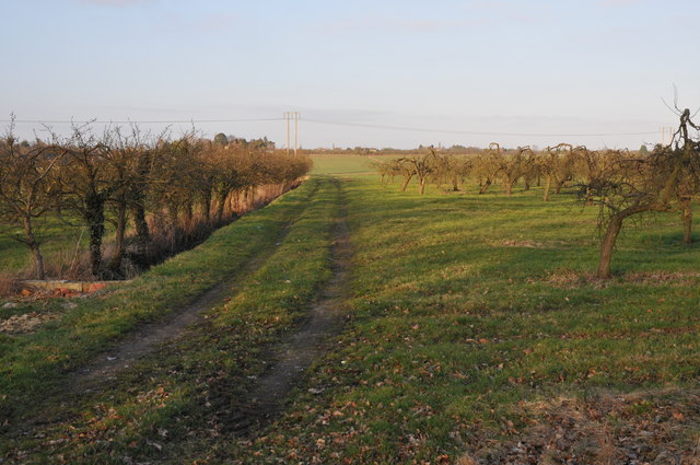
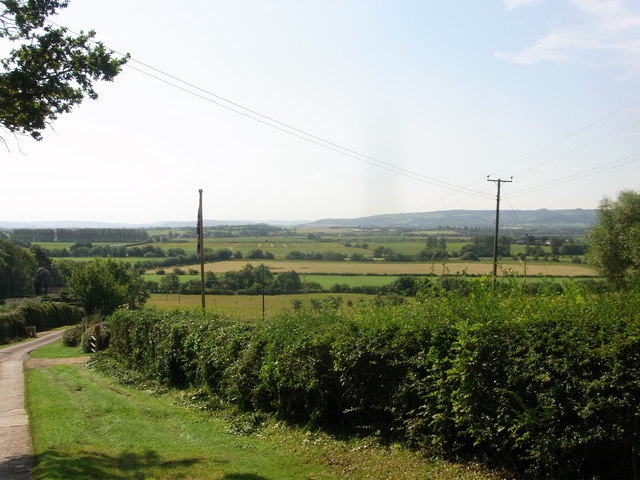
Lenchwick Coppice is a picturesque woodland located in Worcestershire, England. Covering an area of approximately 50 acres, this ancient forest is a haven of tranquility and natural beauty. It is situated near the village of Lenchwick, and is a popular destination for nature enthusiasts and hikers.
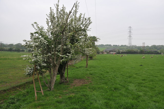
The coppice is primarily composed of native broadleaf trees, such as oak, ash, and beech, which create a dense canopy overhead. The forest floor is adorned with a rich carpet of wildflowers, including bluebells, primroses, and wood anemones, which bloom in vibrant colors during the spring months.
The woodland is home to a diverse range of wildlife. Visitors may encounter various bird species, including woodpeckers, owls, and songbirds, as well as small mammals like foxes, badgers, and rabbits. The coppice is also a habitat for several species of butterflies and insects, adding to its ecological significance.
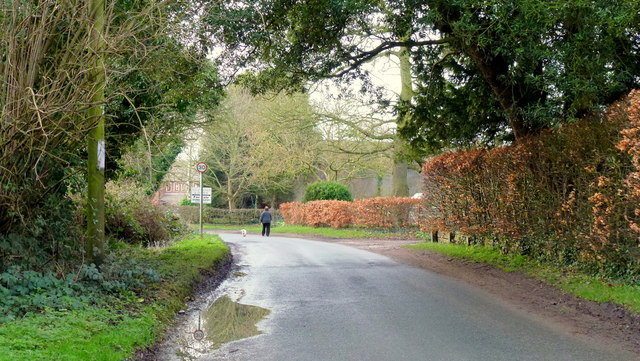
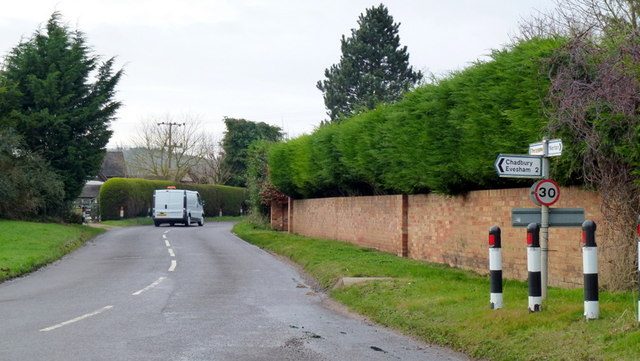
Lenchwick Coppice offers a network of well-maintained paths and trails, allowing visitors to explore the forest at their own pace. These paths meander through the woodland, leading to open clearings and tranquil ponds, where visitors can pause and immerse themselves in the surrounding natural beauty.
The coppice is managed by local conservation organizations, who work diligently to preserve its unique ecosystem. They also organize guided walks and educational programs to raise awareness about the importance of woodland conservation.
Overall, Lenchwick Coppice is a true gem in Worcestershire, offering a peaceful retreat and a chance to connect with nature. Its ancient trees, diverse wildlife, and stunning floral displays make it a must-visit destination for nature lovers and those seeking a respite from the hustle and bustle of everyday life.
If you have any feedback on the listing, please let us know in the comments section below.
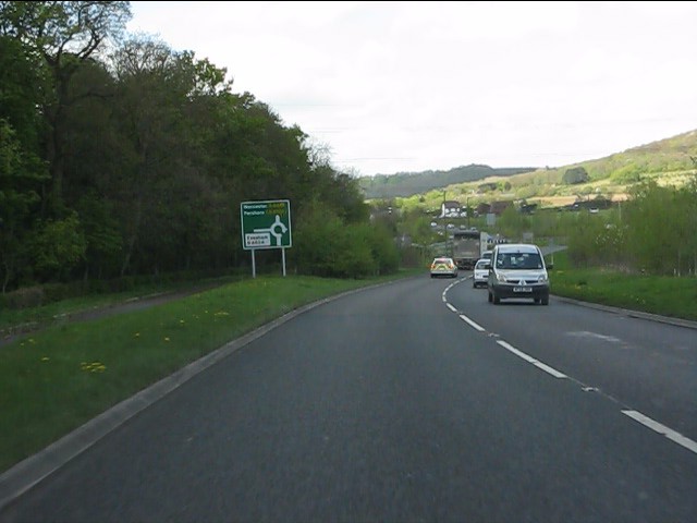
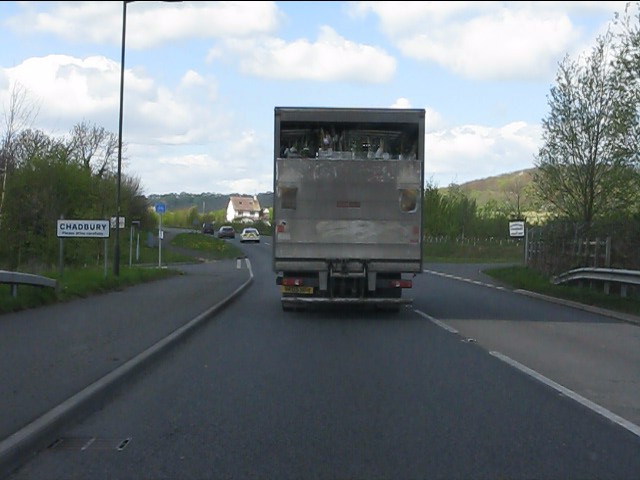
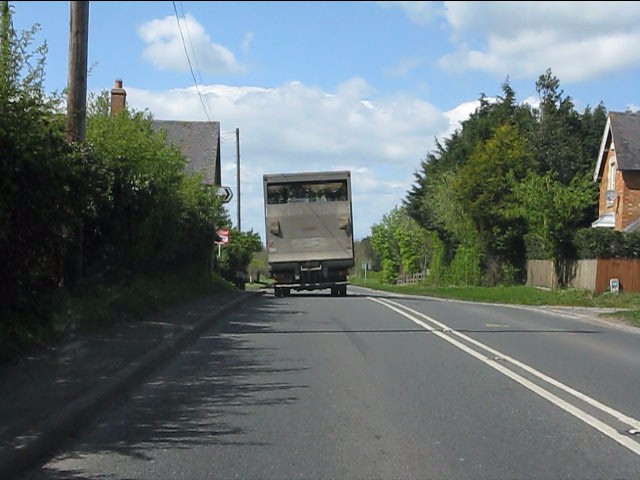
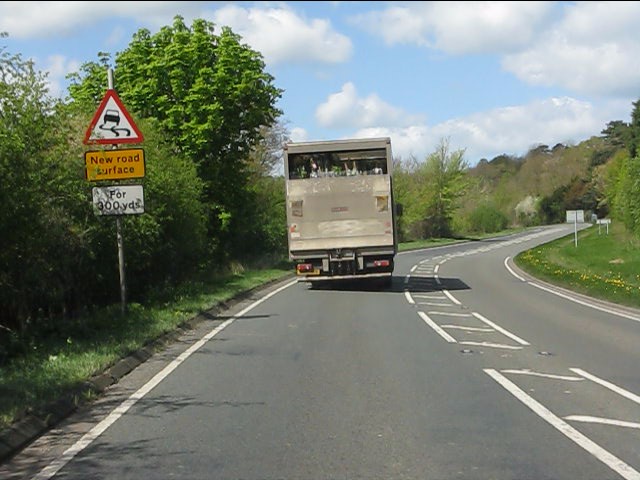
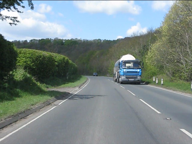
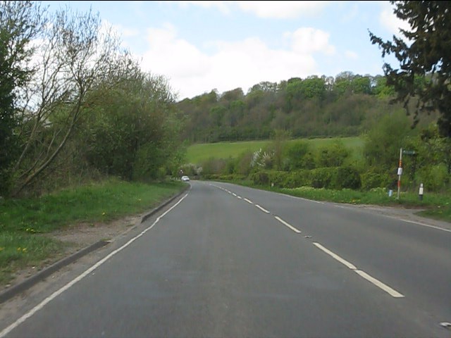
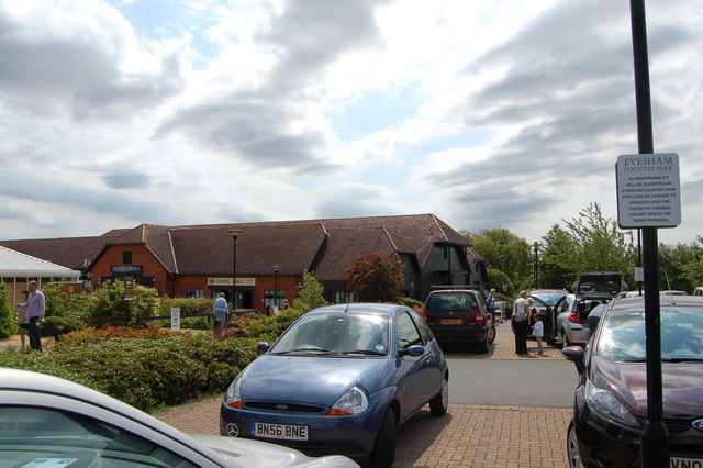
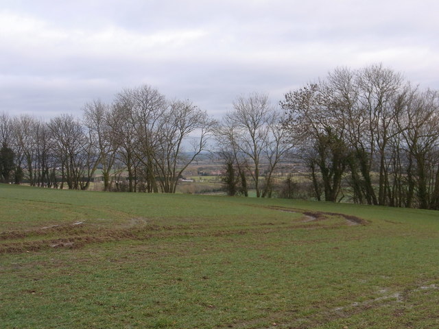
Lenchwick Coppice Images
Images are sourced within 2km of 52.127512/-1.9614049 or Grid Reference SP0247. Thanks to Geograph Open Source API. All images are credited.


Lenchwick Coppice is located at Grid Ref: SP0247 (Lat: 52.127512, Lng: -1.9614049)
Administrative County: Worcestershire
District: Wychavon
Police Authority: West Mercia
What 3 Words
///softest.encloses.painting. Near Harvington, Worcestershire
Related Wikis
Wood Norton Hall
Wood Norton Hall is a Grade II* listed Victorian stately home to the northwest of Evesham, Worcestershire, England. It was the last home in England of...

Norton and Lenchwick
Norton and Lenchwick is a civil parish in the Wychavon district, in the county of Worcestershire, England. The parish population in 2021 was 1,056. The...
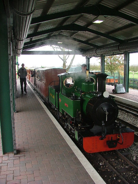
Evesham Vale Light Railway
The Evesham Vale Light Railway is a 15 in (381 mm) gauge railway that operates in Evesham Country Park in Worcestershire, England. == Route == The railway...

Battle of Evesham
The Battle of Evesham (4 August 1265) was one of the two main battles of 13th century England's Second Barons' War. It marked the defeat of Simon de Montfort...

Ab Lench
Ab Lench is a village and former civil parish, now in the parish of South Lenches, in the Wychavon district, in the county of Worcestershire, England...
Charlton, Worcestershire
Charlton is a village in the Wychavon district of the county of Worcestershire, England. During the 2007 United Kingdom floods, many homes were affected...
Offenham
Offenham is a large rural village and civil parish in the Wychavon district of Worcestershire, England, located about three miles east of Evesham, in the...

Greenhill, Evesham
Greenhill is a hill just north of Evesham, Worcestershire and was part of the site of the Battle of Evesham. In the battle, Simon de Montfort was defeated...
Nearby Amenities
Located within 500m of 52.127512,-1.9614049Have you been to Lenchwick Coppice?
Leave your review of Lenchwick Coppice below (or comments, questions and feedback).