Half Moon Coppice
Wood, Forest in Worcestershire Wychavon
England
Half Moon Coppice
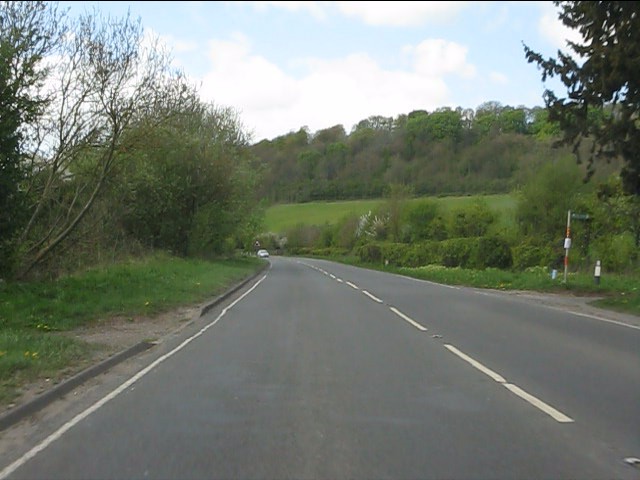
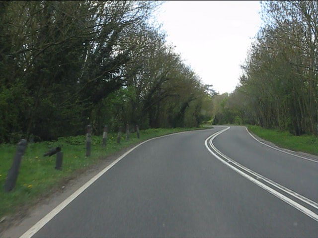
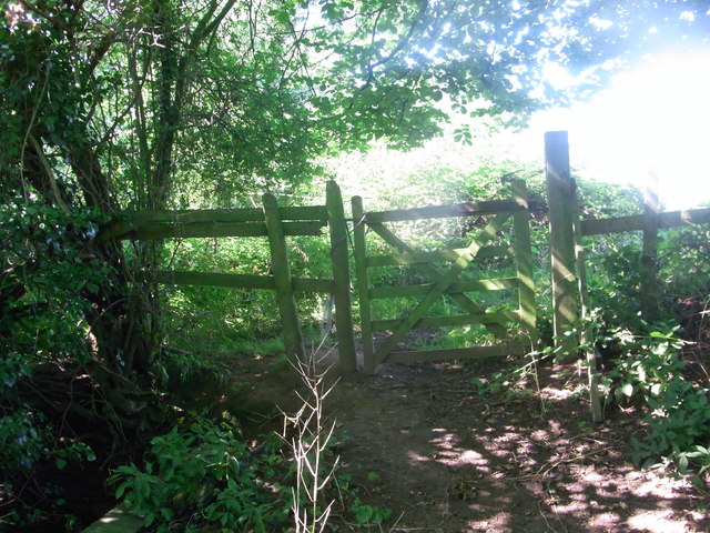
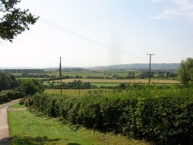
Half Moon Coppice is a picturesque wood situated in the county of Worcestershire, England. Located in a rural area, this forested area covers approximately 50 acres of land. The coppice is known for its diverse range of trees, including oak, beech, ash, and birch, creating a rich and vibrant ecosystem.
The woodland features a well-maintained network of paths and trails, making it an ideal destination for nature lovers and outdoor enthusiasts. Visitors can explore the area on foot, immersing themselves in the tranquil surroundings and enjoying the sights and sounds of the forest. The paths are suitable for all abilities, ensuring accessibility for everyone.
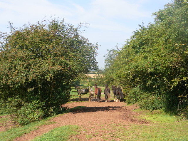
Half Moon Coppice offers a haven for wildlife, with various species of birds, mammals, and insects calling it home. Birdwatchers have the opportunity to spot a variety of species, including woodpeckers, owls, and various woodland songbirds. The forest also provides a habitat for small mammals such as deer, foxes, and rabbits.
Throughout the year, the wood showcases an ever-changing display of natural beauty. In spring, the forest floor is adorned with a carpet of bluebells, creating a breathtaking scene. During the summer months, the trees provide cool shade and a respite from the heat. In autumn, the woodland is ablaze with vibrant hues of red, orange, and yellow as the leaves change color. Winter brings a peaceful and serene atmosphere, with frost-covered branches and a quiet stillness.
Half Moon Coppice offers a serene escape from the hustle and bustle of everyday life, providing a place to connect with nature and enjoy the beauty of the Worcestershire countryside.
If you have any feedback on the listing, please let us know in the comments section below.
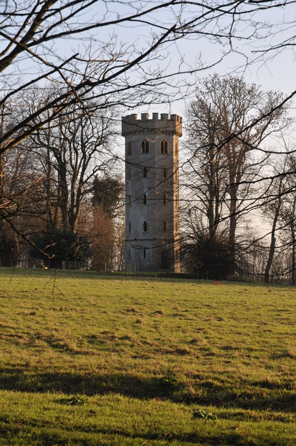
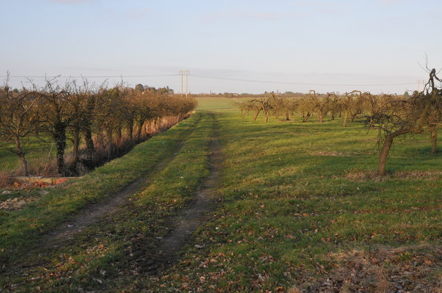
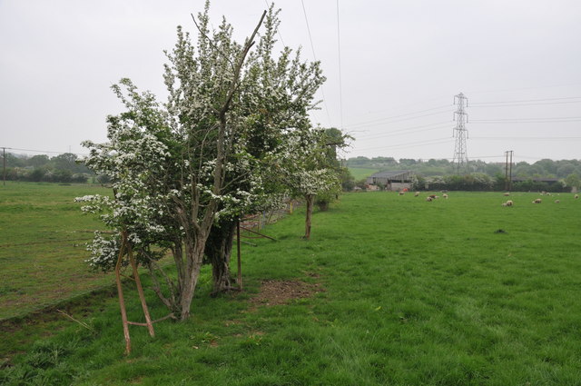
Half Moon Coppice Images
Images are sourced within 2km of 52.125672/-1.9697909 or Grid Reference SP0247. Thanks to Geograph Open Source API. All images are credited.


Half Moon Coppice is located at Grid Ref: SP0247 (Lat: 52.125672, Lng: -1.9697909)
Administrative County: Worcestershire
District: Wychavon
Police Authority: West Mercia
What 3 Words
///exists.clocking.qualify. Near Harvington, Worcestershire
Related Wikis
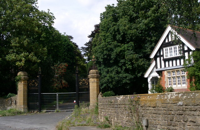
Wood Norton Hall
Wood Norton Hall is a Grade II* listed Victorian stately home to the northwest of Evesham, Worcestershire, England. It was the last home in England of...

Norton and Lenchwick
Norton and Lenchwick is a civil parish in the Wychavon district, in the county of Worcestershire, England. The parish population in 2021 was 1,056. The...
Charlton, Worcestershire
Charlton is a village in the Wychavon district of the county of Worcestershire, England. During the 2007 United Kingdom floods, many homes were affected...
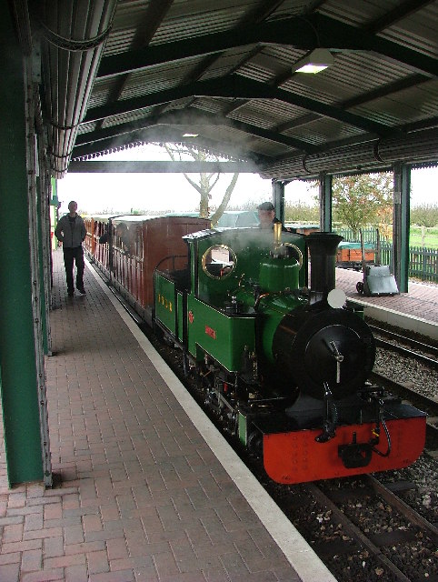
Evesham Vale Light Railway
The Evesham Vale Light Railway is a 15 in (381 mm) gauge railway that operates in Evesham Country Park in Worcestershire, England. == Route == The railway...

Battle of Evesham
The Battle of Evesham (4 August 1265) was one of the two main battles of 13th century England's Second Barons' War. It marked the defeat of Simon de Montfort...

Ab Lench
Ab Lench is a village and former civil parish, now in the parish of South Lenches, in the Wychavon district, in the county of Worcestershire, England...
Fladbury
Fladbury is a traditional English village located in rural Worcestershire, England. The village was mentioned in the Domesday Book, almost 1,000 years...

Fladbury railway station
Fladbury railway station was a station in Fladbury, Worcestershire, England. The station was opened in 1854 and closed in 1966. == References == ��2�...
Related Videos
Evesham medieval times!
A fun visit to a medieval fair in Evesham, 2022! I used my old DJI X5 gimbal camera, 17mm lens and used the dubious d-log ...

Cropthorne A Village in Worcestershire England. Filmed in 4K in March 2021. Quintessentially English
Cropthorne Is a village in Worcestershire England. On the edge of the Cotswolds in the Vale of Evesham. Filmed in 4K 60fps in ...

Hampton Ferry river avon walk and motor caravan Rally
Had a nice walk and called to say hello to the motor caravan rally folks.

Bredon Vale Caravan & Camping Site.
A beautiful & well maintained site just outside the picturesque market town of Evesham, in the heart of the glorious, history-filled ...
Nearby Amenities
Located within 500m of 52.125672,-1.9697909Have you been to Half Moon Coppice?
Leave your review of Half Moon Coppice below (or comments, questions and feedback).