Allotment Plantations

Wood, Forest in Durham

England

Allotment Plantations

White Kirkley White Kirkley is a small settlement on the south side of Weardale consisting of little more accommodation than this single terrace of cottages.
White Kirkley Credit: Trevor Littlewood

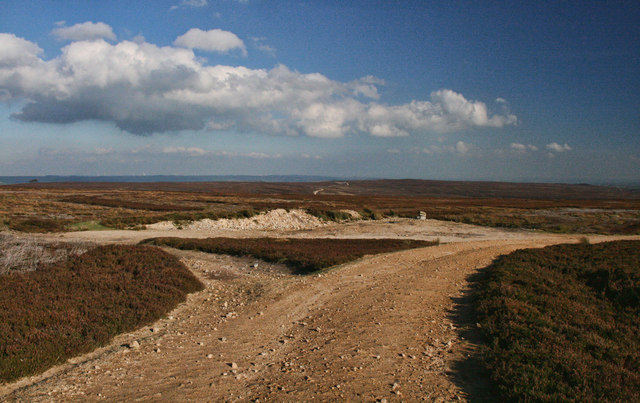
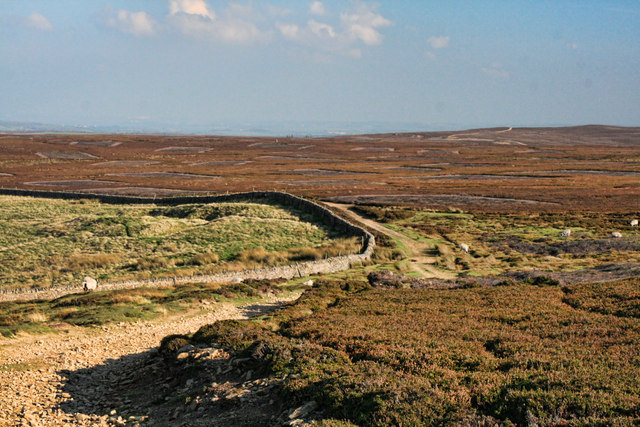
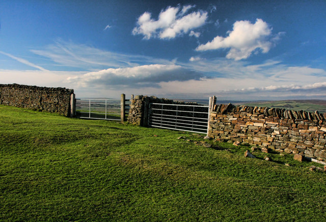
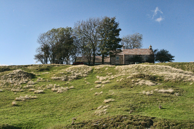
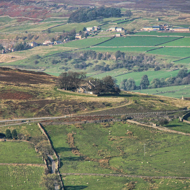
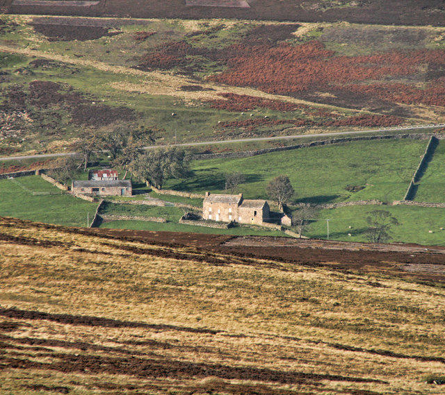
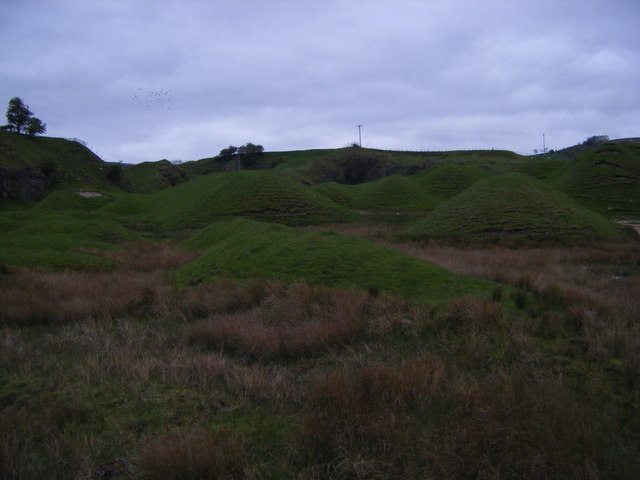
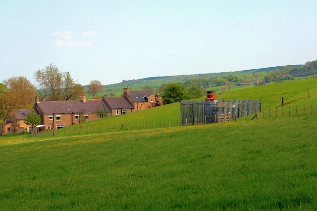
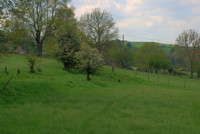
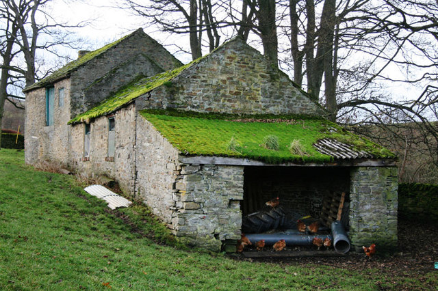
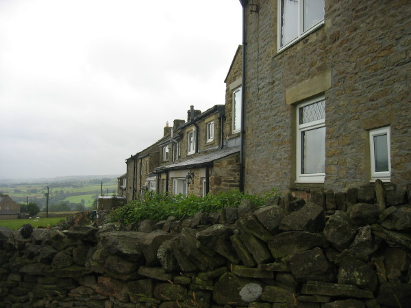
Allotment Plantations, Durham Wood, Forest, is a picturesque and serene area located in Durham, England. Spanning approximately 200 acres, it is known for its lush greenery and diverse range of plant species. The plantation serves as a popular destination for nature enthusiasts, hikers, and those seeking tranquility away from the bustling city life.

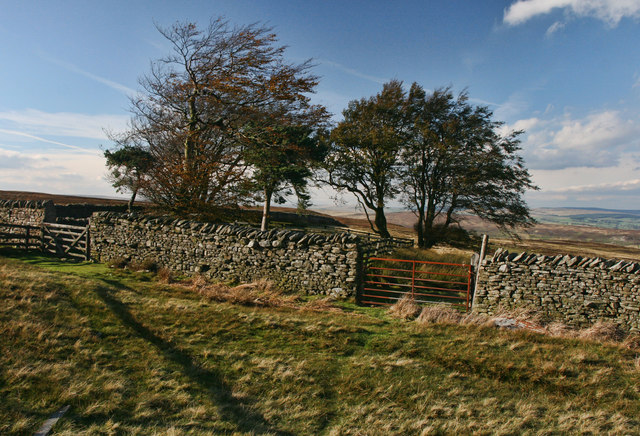
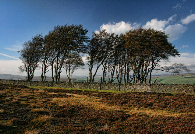
The allotment plantations are primarily comprised of dense forests, with towering trees that provide shade and shelter to a variety of wildlife. The area boasts an impressive array of flora, including oak, beech, and birch trees, as well as an assortment of wildflowers that bloom throughout the year. This rich vegetation creates a vibrant and ever-changing landscape that attracts visitors throughout the seasons.

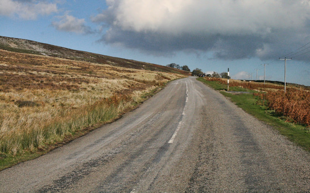
The plantation offers numerous walking trails and paths, allowing visitors to explore the beauty of the woodlands at their own pace. These trails are well-maintained and provide opportunities for birdwatching, as the woodlands are home to a diverse range of avian species. Visitors may catch sight of woodpeckers, thrushes, and even owls.

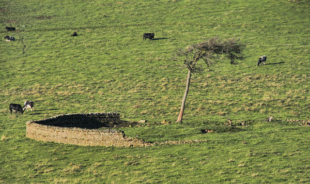
In addition to its natural beauty, the allotment plantations also serve as a vital habitat for various animal species. Squirrels, rabbits, foxes, and deer are commonly spotted within the woodlands, adding an element of wildlife observation to the visitor's experience.

Overall, Allotment Plantations, Durham Wood, Forest, offers a peaceful and idyllic retreat for those seeking solace in nature. With its diverse range of plant and animal life, it provides a unique opportunity for visitors to immerse themselves in the beauty of the woodlands and appreciate the wonders of the natural world.

If you have any feedback on the listing, please let us know in the comments section below.

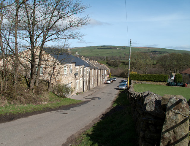
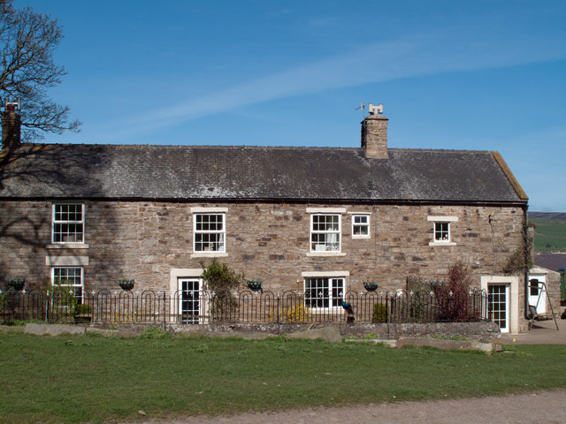
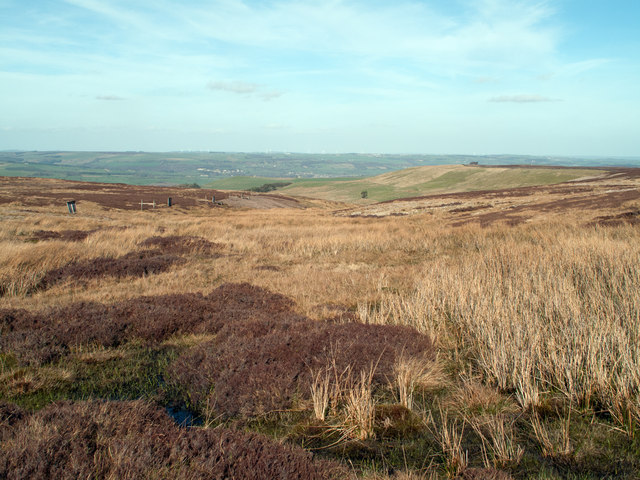
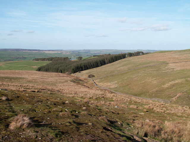
Allotment Plantations Images

Images are sourced within 2km of 54.706556/-1.9591992 or Grid Reference NZ0234. Thanks to Geograph Open Source API. All images are credited.

White Kirkley White Kirkley is a small settlement on the south side of Weardale consisting of little more accommodation than this single terrace of cottages.
White Kirkley
White Kirkley is a small settlement on the south side of Weardale consisting of little more accommodation than this single terrace of cottages.
West Biggins The farm at West Biggins occupies an elevated site on the south side of Weardale; the current route  of the Weardale Way, (it has varied hereabouts), passes through the farm.
West Biggins
The farm at West Biggins occupies an elevated site on the south side of Weardale; the current route of the Weardale Way, (it has varied hereabouts), passes through the farm.
Fine Burn Head The stream, Fine Burn rises in this modest morass north east of the summit of Five Pikes; the developing stream groove can be seen ahead, beyond which lies the Wear Valley.
Fine Burn Head
The stream, Fine Burn rises in this modest morass north east of the summit of Five Pikes; the developing stream groove can be seen ahead, beyond which lies the Wear Valley.
Valley of the Fine Burn Fine Burn rises high on the hill of Five Pikes and descends to join the Bollihope Burn. It's valley is seen here in mid-course approaching the largest of a group of plantations known as Allotment Plantations.
Valley of the Fine Burn
Fine Burn rises high on the hill of Five Pikes and descends to join the Bollihope Burn. It's valley is seen here in mid-course approaching the largest of a group of plantations known as Allotment Plantations.
Pikeston Fell Fork in the track crossing Pikeston Fell.
Pikeston Fell
Fork in the track crossing Pikeston Fell.
Fine Burn Head Enclosures near the head of Fine Burn.
Fine Burn Head
Enclosures near the head of Fine Burn.
Catterick Moss Road from Bollihope to Frosterley.
Catterick Moss
Road from Bollihope to Frosterley.
The Elephant Trees The Elephant Trees on Pikeston Fell above Weardale.
The Elephant Trees
The Elephant Trees on Pikeston Fell above Weardale.
Pikeston Fell Track across Pikeston Fell above Allotment House.
Pikeston Fell
Track across Pikeston Fell above Allotment House.
Harvey Hill Enclosure on pasture land on Harvey Hill seen from Pikeston Fell.
Harvey Hill
Enclosure on pasture land on Harvey Hill seen from Pikeston Fell.
Pikestone Fell Gates and wall on Pikestone Fell.
Pikestone Fell
Gates and wall on Pikestone Fell.
Brown's Houses Cottage beneath Hill End in Weardale.
Brown's Houses
Cottage beneath Hill End in Weardale.
Hill End House above Hill End.
See also <a href="https://www.geograph.org.uk/photo/1644820">NZ0135 : Hill End</a>.
Hill End
House above Hill End. See also NZ0135 : Hill End.
Hill End House above Hill End seen from Pikeston Fell.
See also <a href="https://www.geograph.org.uk/photo/2661168">NZ0135 : Hill End</a> and <a href="https://www.geograph.org.uk/photo/1644820">NZ0135 : Hill End</a>.
Hill End
House above Hill End seen from Pikeston Fell. See also NZ0135 : Hill End and NZ0135 : Hill End.
Bishopley Bishopley Farm above Bollihope seen from Pikeston Fell.
Bishopley
Bishopley Farm above Bollihope seen from Pikeston Fell.
Disused quarry,Bishopley
Vent to Filled Old Quarry Former site of the Brown Houses Quarry.
Vent to Filled Old Quarry
Former site of the Brown Houses Quarry.
Public Footpath near to Brown's Houses Quarry
Show me another place!

Allotment Plantations is located at Grid Ref: NZ0234 (Lat: 54.706556, Lng: -1.9591992)

Unitary Authority: County Durham

Police Authority: Durham

What 3 Words

///nerd.tummy.anthems. Near Wolsingham, Co. Durham

Related Wikis

White Kirkley

White Kirkley is a small village in the civil parish of Stanhope, in County Durham, England. It's situated on the south side of Weardale, opposite Frosterley...

Hill End, County Durham

Hill End is a village in the civil parish of Stanhope, in County Durham, England. It is situated on the south side of Weardale, near Frosterley. ��2�...

Bridge End, County Durham

Bridge End is a hamlet in the civil parish of Stanhope, in County Durham, England. It is situated on the south bank of the River Wear, on the other side...

Frosterley

Frosterley is a village in the civil parish of Stanhope, in County Durham, England. It is situated in Weardale, on the River Wear close to its confluence...

Weardale

Weardale is a dale, or valley, on the east side of the Pennines in County Durham, England. Large parts of Weardale fall within the North Pennines Area...

Wear Valley

Wear Valley was, from 1974 to 2009, a local government district in County Durham, England. Its council and district capital was Crook. The district covered...

Cornish Hush Mine

The Cornish Hush Mine was a British lead ore and fluorspar mine in Weardale. == Location == The mine was located in the Howden Burn valley in the Bollihope...

Rogerley Quarry

Rogerley Quarry is a Site of Special Scientific Interest in the Wear Valley district of west County Durham, England. It lies on the edge of the valley...

Nearby Amenities

Located within 500m of 54.706556,-1.9591992
Turning Circle
Lat/Long: 54.7088601/-1.9567953
Ford: yes
Image: https://www.geograph.org.uk/photo/1271660
Lat/Long: 54.7049977/-1.9631134
Barrier: entrance
Lat/Long: 54.7052291/-1.954743
Barrier: entrance
Lat/Long: 54.7097541/-1.9568706
The data included in this document is from www.openstreetmap.org. The data is made available under ODbL.

Have you been to Allotment Plantations?

Leave your review of Allotment Plantations below (or comments, questions and feedback).