Trendall's Copse

Wood, Forest in Dorset

England

Trendall's Copse

Ford at Broom Hill This dry ford is the first of two fords at Broom Hill.
Ford at Broom Hill Credit: John Walton

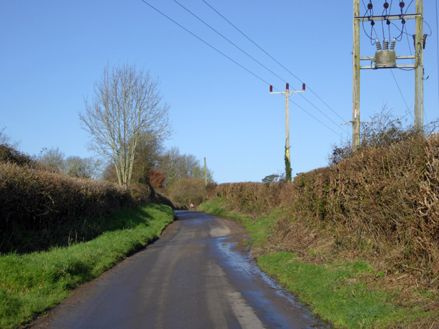
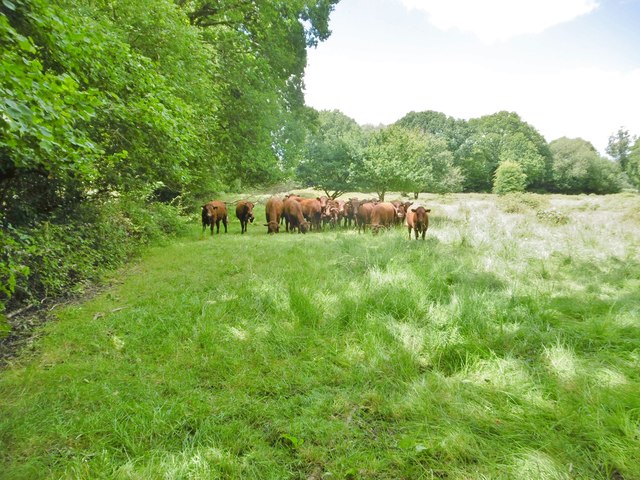
Trendall's Copse is a picturesque woodland located in the county of Dorset, England. Covering an area of approximately 50 acres, this ancient copse is a haven for nature lovers and a popular destination among outdoor enthusiasts. It is situated near the village of Trendall, hence its name.

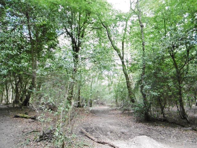
The copse is predominantly made up of broadleaf trees, including oak, beech, and ash, which create a dense and vibrant canopy. The woodland floor is adorned with a rich carpet of wildflowers and ferns, adding to the area's natural beauty. The diversity of plant life in Trendall's Copse attracts a wide array of wildlife, making it a perfect spot for birdwatching and wildlife photography.

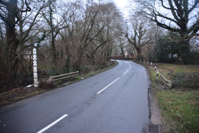
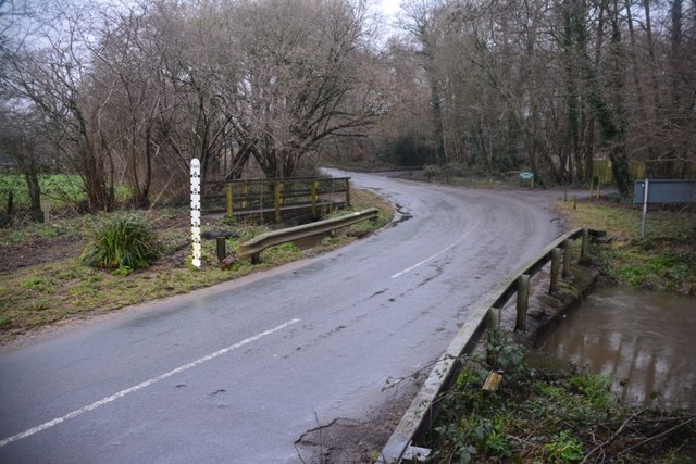
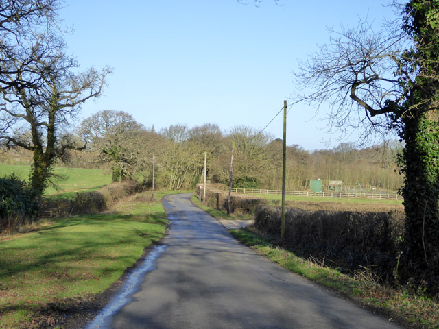
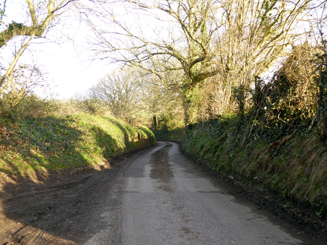
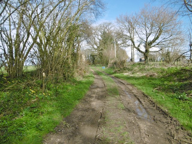
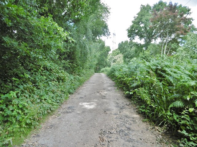
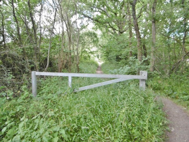
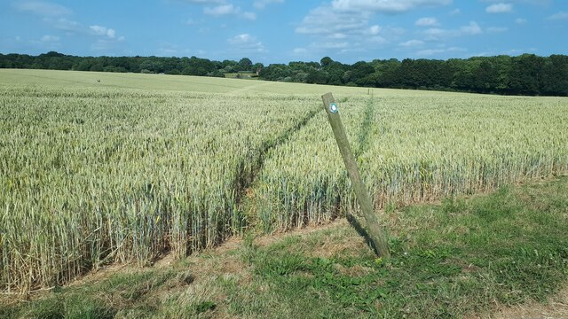
Visitors can explore the copse through a network of well-maintained footpaths, allowing them to immerse themselves in the peaceful ambiance of the forest. The paths wind through the trees, offering glimpses of sunlight streaming through the foliage and creating a magical atmosphere. The copse is also intersected by a small stream, enhancing its scenic charm.

Trendall's Copse is not only a place of natural beauty but also holds historical significance. It is believed to have been part of an ancient forest that covered much of Dorset centuries ago. The copse has witnessed the passage of time and has remained relatively untouched, preserving its ancient character.

Overall, Trendall's Copse is a captivating woodland that provides a tranquil escape from the hustle and bustle of everyday life. With its enchanting atmosphere, diverse flora and fauna, and historical legacy, it continues to be a cherished destination for both locals and visitors to Dorset.

If you have any feedback on the listing, please let us know in the comments section below.

Trendall's Copse Images

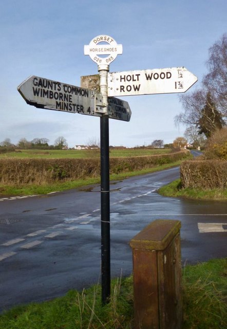
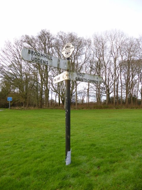
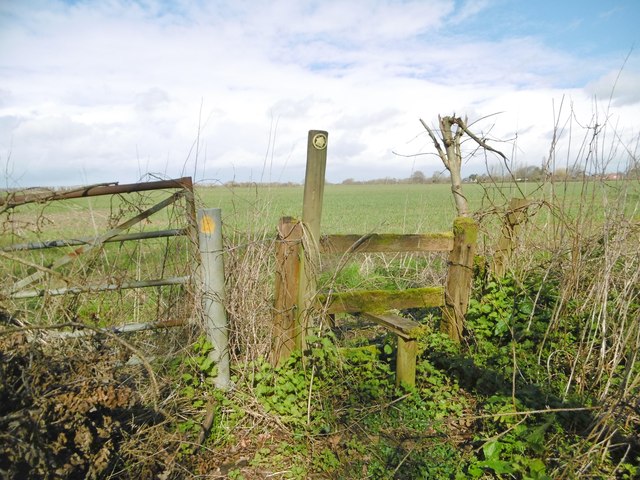
Images are sourced within 2km of 50.839832/-1.9627251 or Grid Reference SU0204. Thanks to Geograph Open Source API. All images are credited.

Ford at Broom Hill This dry ford is the first of two fords at Broom Hill.
Ford at Broom Hill
This dry ford is the first of two fords at Broom Hill.
Ford at Broom Hill This is the second of the two Broom Hill fords.
Ford at Broom Hill
This is the second of the two Broom Hill fords.
Lodge Road Heading towards Gaunt's Common.
Lodge Road
Heading towards Gaunt's Common.
Houses on Petersham Lane, Gaunt's Common The last houses going south.
Houses on Petersham Lane, Gaunt's Common
The last houses going south.
Woodcutts Lane Heading towards Witchampton.
Woodcutts Lane
Heading towards Witchampton.
Woodcutts Lane Heading towards Witchampton.
Woodcutts Lane
Heading towards Witchampton.
Old Direction Sign - Signpost in Holt, East Dorset Annulus & bar finial - 3 arms; Dorset halo with NGR by the UC road, in parish of Holt (East Dorset District), Holt, North corner of village green opposite village hall. Holt Lane junction with Hart's Lane.

Surveyed

Milestone Society National ID: DO_SU0203.
Old Direction Sign - Signpost in Holt, East Dorset
Annulus & bar finial - 3 arms; Dorset halo with NGR by the UC road, in parish of Holt (East Dorset District), Holt, North corner of village green opposite village hall. Holt Lane junction with Hart's Lane. Surveyed Milestone Society National ID: DO_SU0203.
Old Direction Sign - Signpost by Broom Hill, Holt Parish Annulus finial - 4 arms; Dorset halo without NGR by the UC road, in parish of Holt (East Dorset District), Broom Hill, junction of Colehill, Hart's and Pilford Lanes, on narrow verge.

Surveyed

Milestone Society National ID: DO_SU0302.
Old Direction Sign - Signpost by Broom Hill, Holt Parish
Annulus finial - 4 arms; Dorset halo without NGR by the UC road, in parish of Holt (East Dorset District), Broom Hill, junction of Colehill, Hart's and Pilford Lanes, on narrow verge. Surveyed Milestone Society National ID: DO_SU0302.
Old Direction Sign - Signpost at Horseshoes, Holt parish Annulus and bar finial - 4 arms; Dorset halo with NGR by the UC road, in parish of Holt (East Dorset District), Horseshoes, Uppington, at crossroads UC road to Uppington and Holt.

Surveyed

Milestone Society National ID: DO_SU0206A
Old Direction Sign - Signpost at Horseshoes, Holt parish
Annulus and bar finial - 4 arms; Dorset halo with NGR by the UC road, in parish of Holt (East Dorset District), Horseshoes, Uppington, at crossroads UC road to Uppington and Holt. Surveyed Milestone Society National ID: DO_SU0206A
Old Direction Sign - Signpost by Hart's Lane, God's Blessing Green Annulus and bar finial - 3 arms; Dorset halo with NGR by the UC road, in parish of Holt (East Dorset District), God's Blessing Green, junction of UC road to Pig Oak, on green opposite garden centre.

Surveyed

Milestone Society National ID: DO_SU0303
Old Direction Sign - Signpost by Hart's Lane, God's Blessing Green
Annulus and bar finial - 3 arms; Dorset halo with NGR by the UC road, in parish of Holt (East Dorset District), God's Blessing Green, junction of UC road to Pig Oak, on green opposite garden centre. Surveyed Milestone Society National ID: DO_SU0303
Hinton Martell, stile At the beginning of a path from Woodcutts Lane across farmland to Gaunt's Common.
Hinton Martell, stile
At the beginning of a path from Woodcutts Lane across farmland to Gaunt's Common.
Hinton Martell, path Path and farmtrack from Woodcutts to Hinton Martell and Chalbury.
Hinton Martell, path
Path and farmtrack from Woodcutts to Hinton Martell and Chalbury.
Holt, bridleway Bridleway and farm road, from Higher Row to Ferndown Forest.
Holt, bridleway
Bridleway and farm road, from Higher Row to Ferndown Forest.
Holt, power lines Heading across farmland towards Chickerell.
Holt, power lines
Heading across farmland towards Chickerell.
Holt, gateway On the bridleway towards Ferndown Forest; also marking the beginning of National Trust land.
Holt, gateway
On the bridleway towards Ferndown Forest; also marking the beginning of National Trust land.
Holt Forest National Trust woodland - broad-leaved, with oak, holly and some beech.
Holt Forest
National Trust woodland - broad-leaved, with oak, holly and some beech.
Holt, cattle grazing Inquisitive bullocks in a field next to Holt Forest.
Holt, cattle grazing
Inquisitive bullocks in a field next to Holt Forest.
Footpath through crops near Cutler's Farm
Show me another place!

Trendall's Copse is located at Grid Ref: SU0204 (Lat: 50.839832, Lng: -1.9627251)

Unitary Authority: Dorset

Police Authority: Dorset

What 3 Words

///slipping.radically.sleeper. Near Ferndown, Dorset
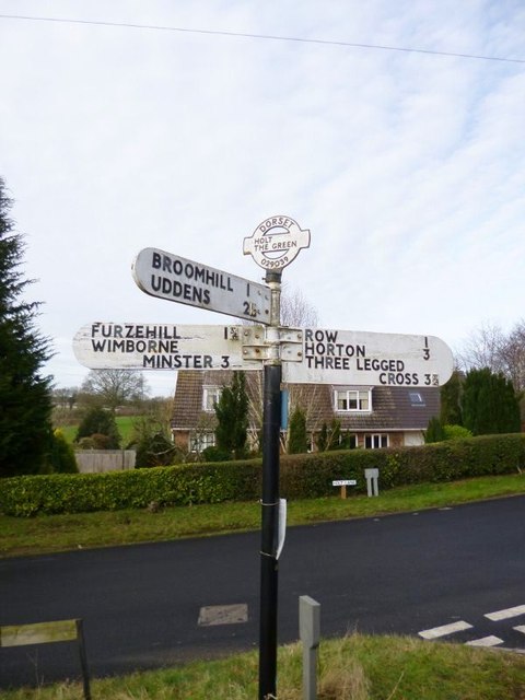
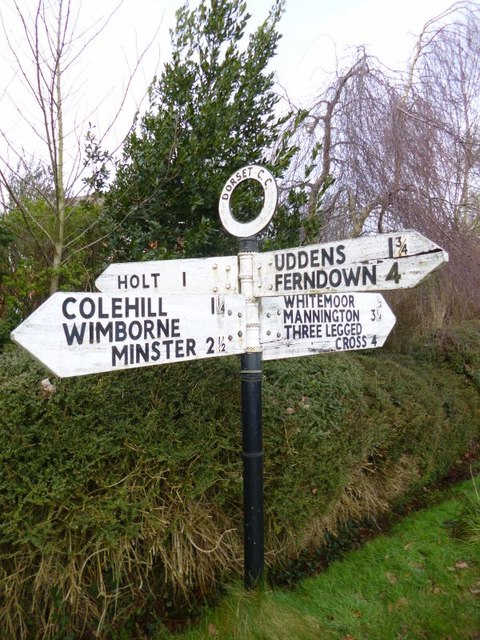
Related Wikis

Holt, Dorset

Holt is a village in east Dorset, England, 2 miles (3.2 km) north of Wimborne Minster. The village had a population of 1,265 in 2001. The electoral ward...

Hinton Martell

Hinton Martell (also known as Hinton Martel) is a village and former civil parish, now in the civil parish of Hinton, in the county of Dorset in southern...

All Saints' Church, Chalbury

All Saints' Church is a Church of England church in Chalbury, Dorset, England. It has 13th-century origins, with later alterations and additions, and many...

Chalbury

Chalbury is a village in the English county of Dorset. It lies on the southern edge of Cranborne Chase within the East Dorset administrative district of...

Hinton Parva

Hinton Parva is a hamlet and former civil parish, now in the civil parish of Hinton, in east Dorset, England, three miles north of Wimborne Minster. The...

East Dorset

East Dorset was a local government district in Dorset, England. Its council met in Wimborne Minster between 2016 and 2019.The district (as Wimborne) was...

Horton Priory

Horton Priory was a priory at Horton in Dorset, England. It was founded as a Benedictine abbey around 970 by Ordgar, Earl of Devon, or his son, Ordulph...

Furzehill Wood

Furzehill Wood is a woodland near Colehill in Dorset, England. It covers a total area of 0.84 hectares (2.08 acres). It is owned and managed by the Woodland...

Nearby Amenities

Located within 500m of 50.839832,-1.9627251
Power: tower
Source: Bing
Lat/Long: 50.8401279/-1.9633982
Power: tower
Source: Bing
Lat/Long: 50.842743/-1.9589672
Power: tower
Lat/Long: 50.8378937/-1.9671236
Power: pole
Source: bing
Lat/Long: 50.8368154/-1.9576907
Power: pole
Source: bing
Lat/Long: 50.8362827/-1.9600846
Power: pole
Source: bing
Lat/Long: 50.8365613/-1.9588427
Power: pole
Source: bing
Lat/Long: 50.8369187/-1.9673011
Power: pole
Source: bing
Lat/Long: 50.8371118/-1.9642407
Power: pole
Source: bing
Lat/Long: 50.8374701/-1.9652613
Location Transition: yes
Power: pole
Source: bing
Lat/Long: 50.8378326/-1.9663261
Power: pole
Source: bing
Lat/Long: 50.8373989/-1.9667794
Poles: bipole
Power: pole
Source: bing
Lat/Long: 50.8380587/-1.968496
Power: pole
Source: bing
Lat/Long: 50.8355238/-1.9616523
Power: pole
Source: bing
Lat/Long: 50.8356728/-1.9601423
Power: pole
Source: bing
Lat/Long: 50.836032/-1.961191
Power: pole
Source: bing
Lat/Long: 50.8363962/-1.9621995
Power: pole
Source: bing
Lat/Long: 50.8367603/-1.9632509
The data included in this document is from www.openstreetmap.org. The data is made available under ODbL.

Have you been to Trendall's Copse?

Leave your review of Trendall's Copse below (or comments, questions and feedback).