Acre of Oaks

Wood, Forest in Wiltshire

England

Acre of Oaks

Track, Compton Bassett A footpath heading towards the northern end of the village.
Track, Compton Bassett Credit: Andrew Smith

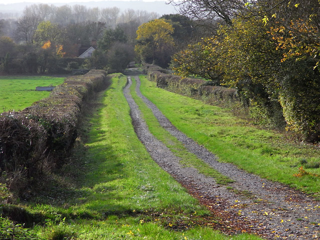
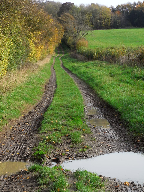
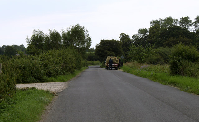
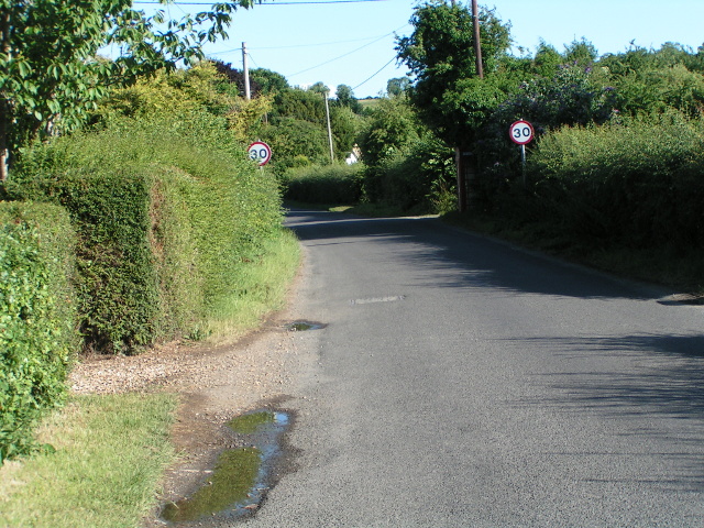
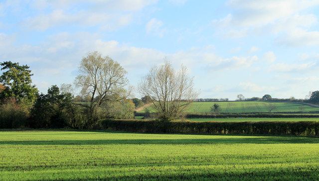
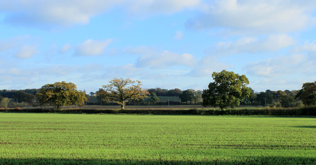
Acre of Oaks, located in Wiltshire, is a breathtaking wood or forest that covers approximately one acre of land. The site is renowned for its picturesque beauty, consisting mainly of a dense grove of majestic oak trees. Acre of Oaks is a tranquil and serene haven, attracting nature enthusiasts and those seeking solace in the natural world.

The wood is characterized by its dense foliage and towering oak trees, which provide a canopy of shade and create a peaceful atmosphere. The oaks, many of which are centuries old, stand tall and proud, their branches reaching towards the sky. The forest floor is carpeted with a rich layer of moss, ferns, and wildflowers, adding to the enchanting ambiance of the area.

Acre of Oaks offers an ideal habitat for a variety of wildlife, including birds, squirrels, and deer. Visitors may have the opportunity to spot these creatures as they wander through the wood. The forest also supports a diverse range of flora, with a plethora of native plants and fungi thriving beneath the canopies of the oaks.

Nature lovers often visit Acre of Oaks for recreational activities such as walking, hiking, and photography. The wood provides numerous trails and paths that wind through its enchanting landscape, allowing visitors to immerse themselves in the tranquility of nature. Additionally, the wood serves as an educational resource, with guided tours and nature programs organized to promote environmental awareness and conservation.

Acre of Oaks, with its ancient trees, abundant wildlife, and serene atmosphere, is a true gem within Wiltshire's natural landscape.

If you have any feedback on the listing, please let us know in the comments section below.
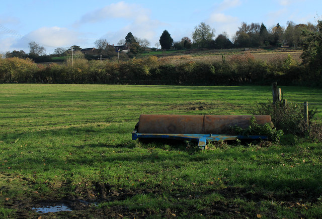
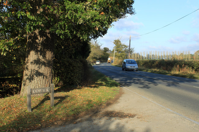
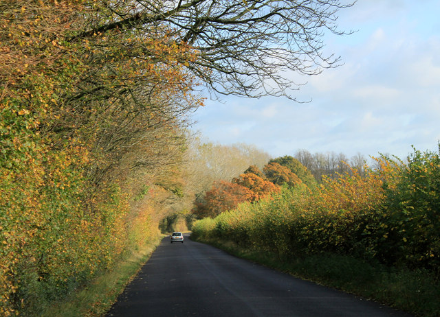
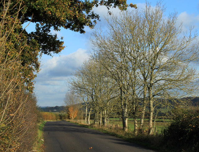
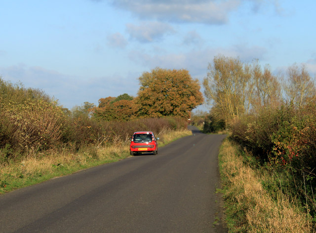
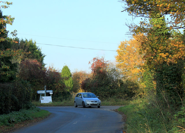
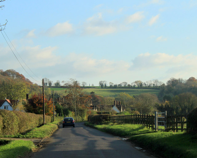
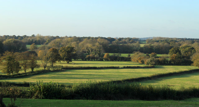
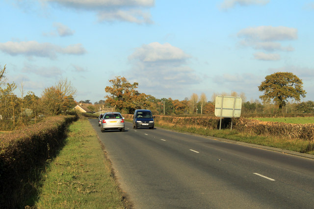
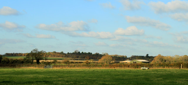
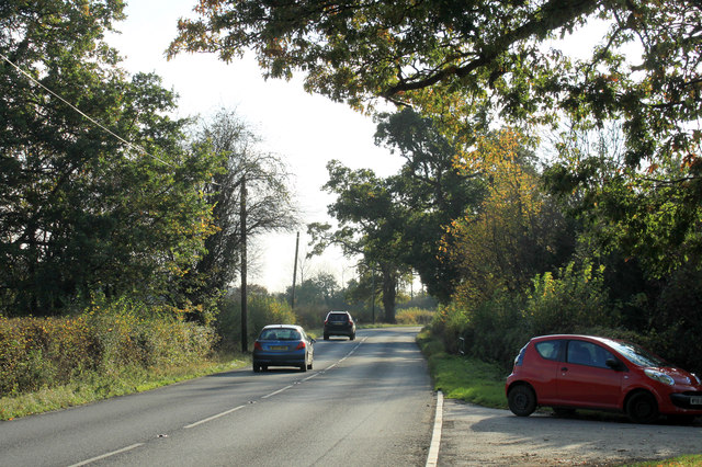
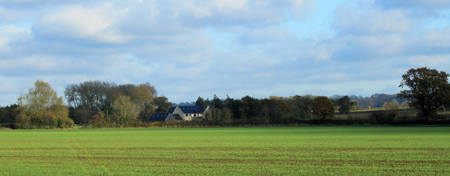
Acre of Oaks Images

Images are sourced within 2km of 51.457359/-1.9646747 or Grid Reference SU0273. Thanks to Geograph Open Source API. All images are credited.

Track, Compton Bassett A footpath heading towards the northern end of the village.
Track, Compton Bassett
A footpath heading towards the northern end of the village.
Track, Compton Bassett The public bridleway climbing to the east of Lower End Farm.
Track, Compton Bassett
The public bridleway climbing to the east of Lower End Farm.
2011 : On the minor road to Hilmarton Seems to be unloading bales of straw from a farm trailer.
2011 : On the minor road to Hilmarton
Seems to be unloading bales of straw from a farm trailer.
Entering Compton Bassett
2011 : Field roller ready for action Parked in a pasture east of the A3102.
2011 : Field roller ready for action
Parked in a pasture east of the A3102.
2011 : A3102 at an entrance to Cowick Farm Looking north to Lyneham and Swindon.
2011 : A3102 at an entrance to Cowick Farm
Looking north to Lyneham and Swindon.
2011 : Autumn on the road to Compton Bassett About 100 yards from the A3102 behind the camera.

The changing seasons, <a href="https://www.geograph.org.uk/photo/1075921">SU0174 : Minor road to Compton Bassett, near Hilmarton</a> has the same scene in mid December.
2011 : Autumn on the road to Compton Bassett
About 100 yards from the A3102 behind the camera. The changing seasons, SU0174 : Minor road to Compton Bassett, near Hilmarton has the same scene in mid December.
2011 : Minor road to Bushton and Wootton Bassett The Lyneham bypass, for those in the know.
Clevancy and Clyffe Pypard are at the foot of the escarpment to the right.
2011 : Minor road to Bushton and Wootton Bassett
The Lyneham bypass, for those in the know. Clevancy and Clyffe Pypard are at the foot of the escarpment to the right.
2011 : The unofficial Lyneham bypass If you know about it.
Nearly three miles to Bushton, almost seven to Wootton Bassett and not much slower than a dual carriageway.
2011 : The unofficial Lyneham bypass
If you know about it. Nearly three miles to Bushton, almost seven to Wootton Bassett and not much slower than a dual carriageway.
2011 : Minor road junction near Lower End Farm Approaching from Compton Bassett, Lower End Farm and Hilmarton are to the left, right for Highway, where, I am told, there is a terrible highwayman who preys on passers by.
As well as the farm a number of cottages surround the junction, enough to make a hamlet if it had a name.
2011 : Minor road junction near Lower End Farm
Approaching from Compton Bassett, Lower End Farm and Hilmarton are to the left, right for Highway, where, I am told, there is a terrible highwayman who preys on passers by. As well as the farm a number of cottages surround the junction, enough to make a hamlet if it had a name.
2011 : The main road through Compton Bassett Village with a Thousand years of History
From an article in The Herald and Advertiser Friday 13th January 1950
Nestling under the shadow of the Wiltshire downs, near where more than 11 centuries ago, raged a battle which marked a turning point in English history, lies the straggling but picturesque village of Compton Bassett.
Today this “farm in the valley”, for that is the meaning of its name, is striving to adapt itself to a mode of life which, for the first time in a thousand years, is not guided by the Lord of the Manor; early this century the Squire’s house fell empty and the estate, which comprised practically the whole of the village was broken up.
Probably few of the 300-odd inhabitants have ever heard of the vast army from Wessex which led by Egburt, marched eastward along the downland ridge stretching along from the village to Wanborough, to meet and defeat the invading Beornwulf and his Mercian army at Ellendue, a few miles further along the hills. That victory, in 823 A.D. led to a permanent alteration of the balance of power in favour of the West Saxons.

The above was copied from: <span class="nowrap"><a title="http://www.comptonbassett.com/history.php" rel="nofollow ugc noopener" href="http://www.comptonbassett.com/history.php">Link</a><img style="margin-left:2px;" alt="External link" title="External link - shift click to open in new window" src="https://s1.geograph.org.uk/img/external.png" width="10" height="10"/></span> there is more.
2011 : The main road through Compton Bassett
Village with a Thousand years of History From an article in The Herald and Advertiser Friday 13th January 1950 Nestling under the shadow of the Wiltshire downs, near where more than 11 centuries ago, raged a battle which marked a turning point in English history, lies the straggling but picturesque village of Compton Bassett. Today this “farm in the valley”, for that is the meaning of its name, is striving to adapt itself to a mode of life which, for the first time in a thousand years, is not guided by the Lord of the Manor; early this century the Squire’s house fell empty and the estate, which comprised practically the whole of the village was broken up. Probably few of the 300-odd inhabitants have ever heard of the vast army from Wessex which led by Egburt, marched eastward along the downland ridge stretching along from the village to Wanborough, to meet and defeat the invading Beornwulf and his Mercian army at Ellendue, a few miles further along the hills. That victory, in 823 A.D. led to a permanent alteration of the balance of power in favour of the West Saxons. The above was copied from: LinkExternal link there is more.
2011 : North over fields near Compton Bassett
2011 : A3102 leaving Calne A few hundred yards north of the bypass.
Beversbrook Farm is in the distance, on the other side of the grid square.
2011 : A3102 leaving Calne
A few hundred yards north of the bypass. Beversbrook Farm is in the distance, on the other side of the grid square.
2011 : Pasture east of the A3102 Outbuildings of High Penn Farm are seen.
2011 : Pasture east of the A3102
Outbuildings of High Penn Farm are seen.
2011 : A3102 looking south at the entrance to Cowick Farm Into Calne then on to Melksham.
2011 : A3102 looking south at the entrance to Cowick Farm
Into Calne then on to Melksham.
2011 : North east from the A3102 Over a field of winter wheat.
Lower Penn Cottages is (or are) in the background.

No more the magic birds from Lyneham, no more the drone of distant engine.
2011 : North east from the A3102
Over a field of winter wheat. Lower Penn Cottages is (or are) in the background. No more the magic birds from Lyneham, no more the drone of distant engine.
2011 : East from the A3102 Long shadows on a field of winter wheat.

No longer the pilot's flight from distant place will end in Lyneham's sweet embrace.

Well what do you expect, Betjeman?
2011 : East from the A3102
Long shadows on a field of winter wheat. No longer the pilot's flight from distant place will end in Lyneham's sweet embrace. Well what do you expect, Betjeman?
2011 : South east from the A3102 The field of winter wheat gives way to autumn tinted oaks.
2011 : South east from the A3102
The field of winter wheat gives way to autumn tinted oaks.
Show me another place!

Acre of Oaks is located at Grid Ref: SU0273 (Lat: 51.457359, Lng: -1.9646747)

Unitary Authority: Wiltshire

Police Authority: Wiltshire

What 3 Words

///takers.wipe.diverged. Near Calne, Wiltshire

Nearby Locations

Acre of Oaks

Related Wikis

Have you been to Acre of Oaks?

Leave your review of Acre of Oaks below (or comments, questions and feedback).