West Wood
Wood, Forest in Dorset
England
West Wood

West Wood is a picturesque forest located in the county of Dorset, England. Covering an extensive area of approximately 500 acres, this enchanting woodland is renowned for its natural beauty and diverse wildlife. The forest is situated in close proximity to the village of West Wood itself, which adds to its accessibility and popularity among locals and visitors alike.
The dense canopy of West Wood is predominantly composed of a variety of deciduous trees, including oak, beech, and ash, which create a vibrant and ever-changing landscape throughout the seasons. The forest floor is adorned with a rich carpet of ferns, wildflowers, and moss, adding an ethereal touch to the surroundings.
This woodland is not just a visual delight; it is also home to a wide range of wildlife. Nature enthusiasts can spot numerous bird species, such as woodpeckers and owls, as well as small mammals like foxes, badgers, and rabbits. The forest is also known to house a diverse range of insect species, adding to its ecological significance.
West Wood offers a haven for outdoor enthusiasts, providing ample opportunities for walking, hiking, and nature photography. The forest boasts several well-maintained trails, allowing visitors to explore its idyllic corners and discover hidden gems. There are designated picnic areas dotted throughout the woodland, providing a perfect spot to relax and soak in the tranquility of the surroundings.
Overall, West Wood is a captivating destination that showcases the natural beauty and biodiversity of Dorset. Whether it is for a peaceful stroll, a wildlife-spotting adventure, or simply to reconnect with nature, this forest offers a truly immersive experience for all who venture into its embrace.
If you have any feedback on the listing, please let us know in the comments section below.
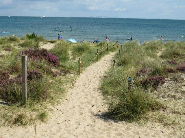
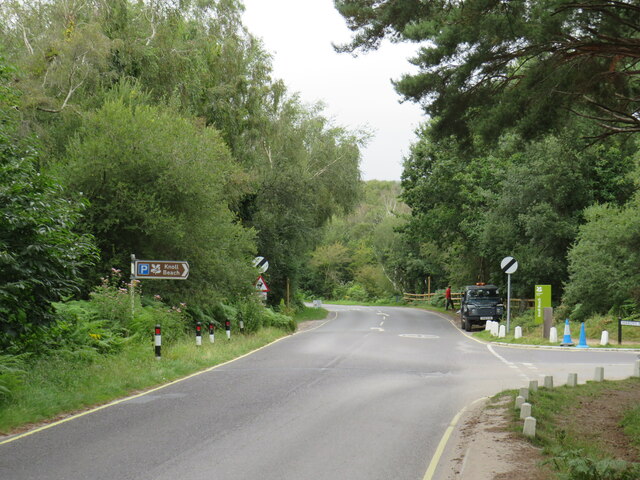
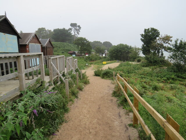
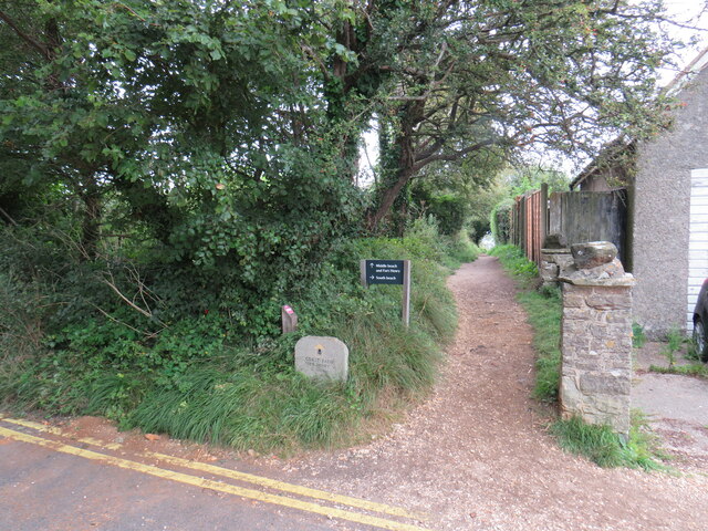
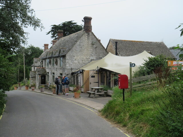
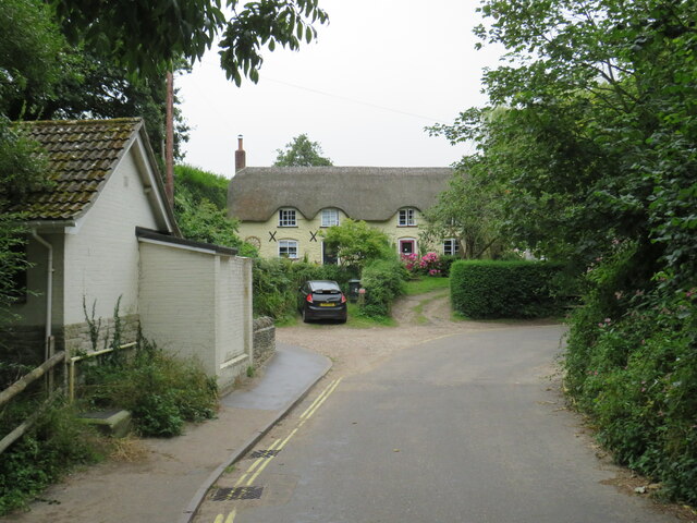
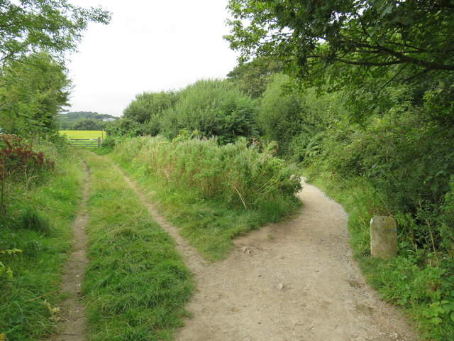
West Wood Images
Images are sourced within 2km of 50.639891/-1.965244 or Grid Reference SZ0282. Thanks to Geograph Open Source API. All images are credited.


West Wood is located at Grid Ref: SZ0282 (Lat: 50.639891, Lng: -1.965244)
Unitary Authority: Dorset
Police Authority: Dorset
What 3 Words
///assemble.mystified.digital. Near Swanage, Dorset
Nearby Locations
Related Wikis
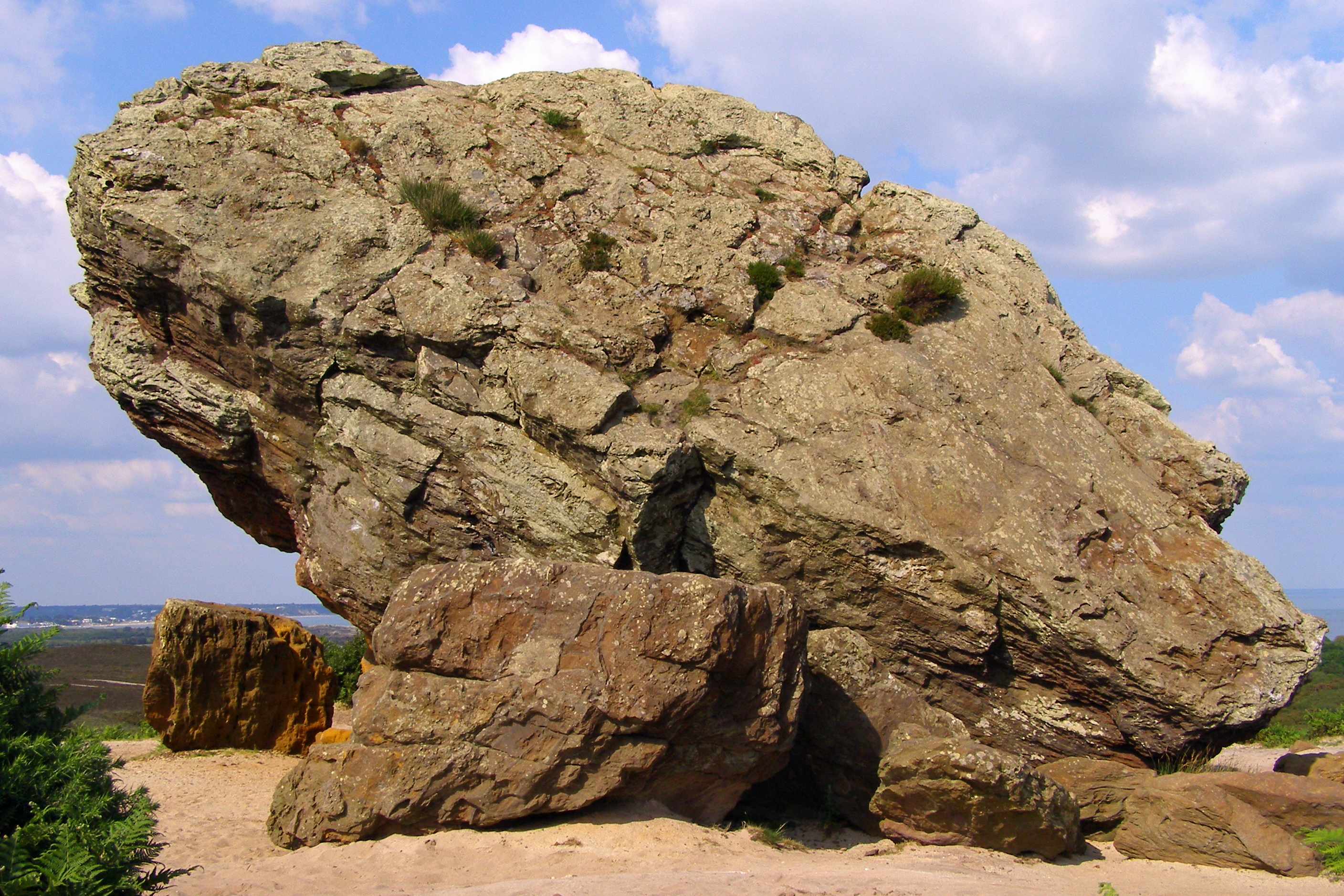
Agglestone Rock
Agglestone Rock, also known as the Devil's Anvil, is a sandstone block of about 400 tonnes weight, perched on a conical hill, approximately 1-mile (1.6...

Ballard Down
Ballard Down is an area of chalk downland on the Purbeck Hills in the English county of Dorset. The hills meet the English Channel here, and Ballard Down...
Studland
Studland is a village and civil parish on the Isle of Purbeck in Dorset, England. The village is located about 2 miles (3.2 km) north of the town of Swanage...

St Nicholas' Church, Studland
The Church of Saint Nicholas is a Church of England parish church in Studland, Dorset, England. It was built in the early 12th century on the foundations...
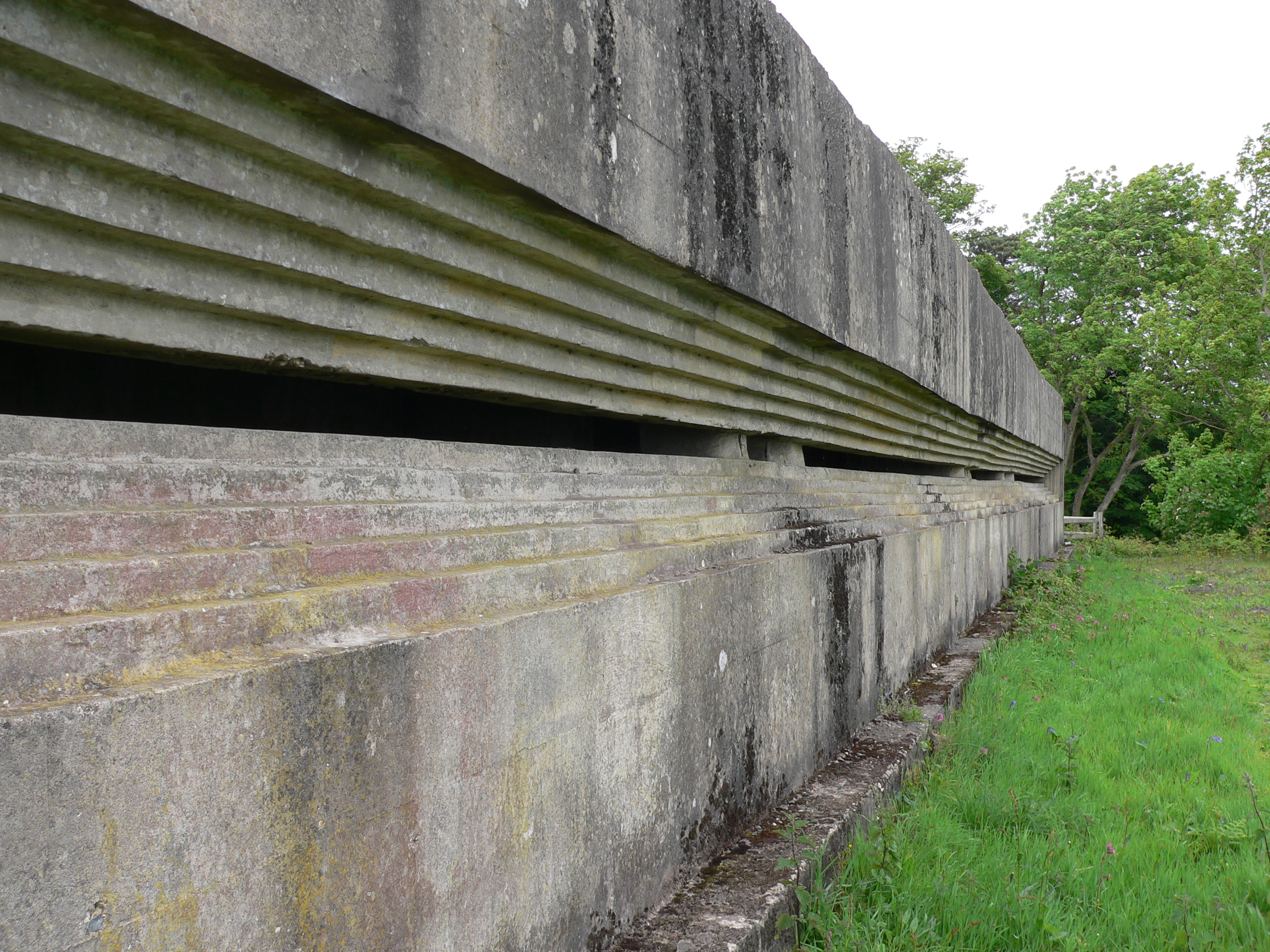
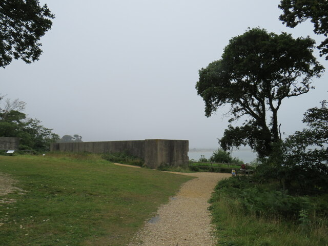
Fort Henry, Dorset
Fort Henry is a Grade II listed World War Two observation bunker overlooking Studland Bay, in Dorset. It was built in 1943 to defend the bay from possible...

Studland and Godlingston Heath National Nature Reserve
The Studland and Godlingston Heaths NNR is located on the Isle of Purbeck in the English county of Dorset. It borders Studland Bay on the south side of...

Rowbarrow Hundred
Rowbarrow Hundred or Rowberrow Hundred was a hundred in the county of Dorset, England, containing the following parishes: Langton Matravers Studland Swanage...

Nine Barrow Down
Nine Barrow Down is an elongated hill forming the northern ridge of the Purbeck Hills on the Isle of Purbeck in Dorset, England. The chalk down is part...
Nearby Amenities
Located within 500m of 50.639891,-1.965244Have you been to West Wood?
Leave your review of West Wood below (or comments, questions and feedback).