Broadmeadow Brake

Wood, Forest in Gloucestershire Wychavon

England

Broadmeadow Brake

Bridge over the River Isbourne Bridge over the River Isbourne at Hinton in the Green.
Bridge over the River Isbourne Credit: Philip Halling

Broadmeadow Brake is a picturesque woodland located in Gloucestershire, England. Situated in the heart of the Forest of Dean, this enchanting woodland covers an area of approximately 50 hectares and is renowned for its natural beauty and diverse wildlife.

The name "Broadmeadow Brake" is derived from the Old English words "broad" and "meadow," indicating the wide meadow-like area within the woodland. The brake refers to the dense undergrowth and shrubbery that characterizes the forest floor.

The woodland is predominantly composed of ancient oak and beech trees that have been standing for centuries, creating a dense canopy that provides shelter for a variety of flora and fauna. Within its boundaries, visitors can find a rich tapestry of native wildflowers, including bluebells, primroses, and foxgloves, which add vibrant splashes of color to the forest floor.

Broadmeadow Brake is not only a haven for plant life but also a sanctuary for numerous animal species. It is a designated Site of Special Scientific Interest due to its importance as a habitat for rare and endangered species. Visitors may spot a diverse range of wildlife, including deer, badgers, foxes, and various species of birds such as woodpeckers and owls.

The woodland offers a network of well-maintained footpaths, allowing visitors to explore its beauty and tranquility. Whether it's a leisurely stroll, a family picnic, or birdwatching, Broadmeadow Brake provides a serene escape from the hustle and bustle of everyday life.

In conclusion, Broadmeadow Brake is a captivating woodland in Gloucestershire, offering a blend of ancient trees, vibrant wildflowers, and diverse wildlife. It is a cherished natural gem that both locals and visitors can enjoy and appreciate.

If you have any feedback on the listing, please let us know in the comments section below.

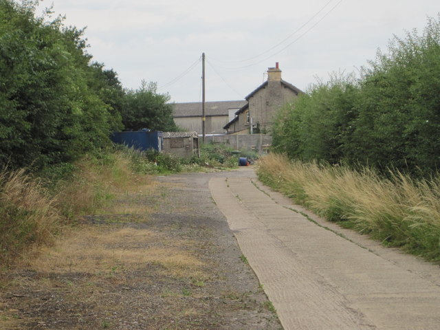
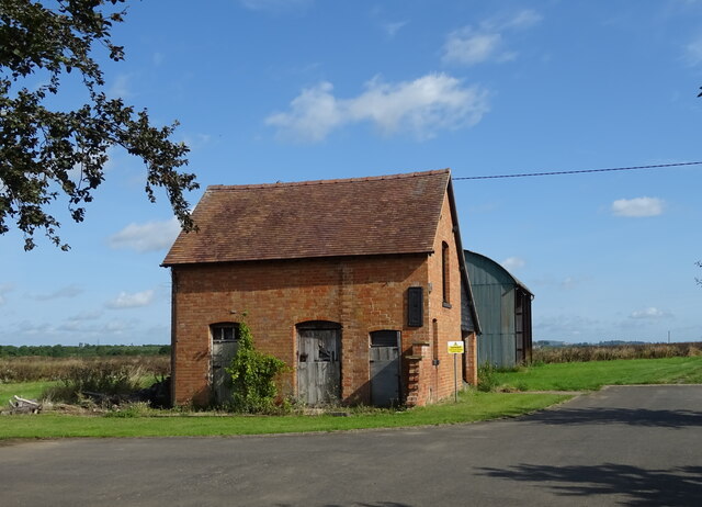
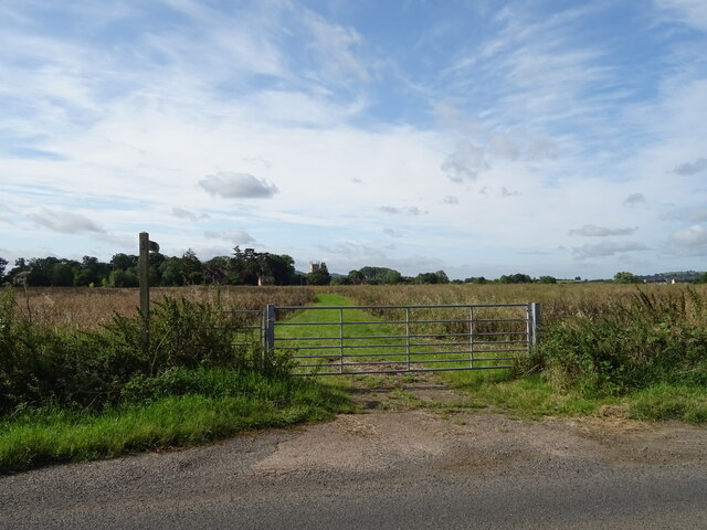
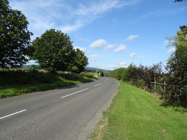
Broadmeadow Brake Images

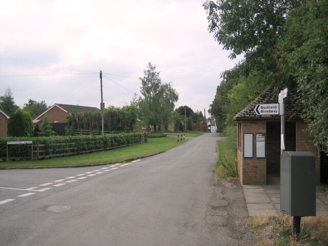
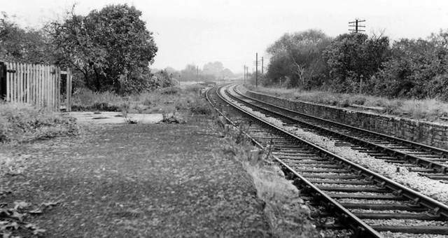
Images are sourced within 2km of 52.054681/-1.9642236 or Grid Reference SP0239. Thanks to Geograph Open Source API. All images are credited.

Bridge over the River Isbourne Bridge over the River Isbourne at Hinton in the Green.
Bridge over the River Isbourne
Bridge over the River Isbourne at Hinton in the Green.
Field beside Ballard's Farm A footpath to Ashton under Hill crosses this field beside Ballard's Farm to the west of Hinton in the Green.  On the horizon are a number of Cotswold outlier hills.
Field beside Ballard's Farm
A footpath to Ashton under Hill crosses this field beside Ballard's Farm to the west of Hinton in the Green. On the horizon are a number of Cotswold outlier hills.
Ballard's Farm
Ballard's Farm
Late winter on Ballard's Farm This isolated tree will soon be clothed in fresh greenery
Late winter on Ballard's Farm
This isolated tree will soon be clothed in fresh greenery
Pylon on Furze Hill The pylon dominates the east slope of Furze Hill one of the lower tops around Bredon Hill
Pylon on Furze Hill
The pylon dominates the east slope of Furze Hill one of the lower tops around Bredon Hill
Hinton Church from just upstream of Hinton Mill
A46, Cheltenham Road The A46 is an important cross-country route which runs from the West Country to the North Sea.  It starts to the east of Bath in Somerset and ends in Cleethorpes in North East Lincolnshire.  It is no longer a continuous route as large portions of the old (1923) road have been lost, bypassed, or replaced by motorway development. For more detail, see <span class="nowrap"><a title="http://en.wikipedia.org/wiki/A46_road" rel="nofollow ugc noopener" href="http://en.wikipedia.org/wiki/A46_road">Link</a><img style="margin-left:2px;" alt="External link" title="External link - shift click to open in new window" src="https://s1.geograph.org.uk/img/external.png" width="10" height="10"/></span> (Wikipedia Article).
A46, Cheltenham Road
The A46 is an important cross-country route which runs from the West Country to the North Sea. It starts to the east of Bath in Somerset and ends in Cleethorpes in North East Lincolnshire. It is no longer a continuous route as large portions of the old (1923) road have been lost, bypassed, or replaced by motorway development. For more detail, see LinkExternal link (Wikipedia Article).
A46, Layby near Hinton Cross The A46 is an important cross-country route which runs from the West Country to the North Sea.  It starts to the east of Bath in Somerset and ends in Cleethorpes in North East Lincolnshire.  It is no longer a continuous route as large portions of the old (1923) road have been lost, bypassed, or replaced by motorway development. For more detail, see <span class="nowrap"><a title="http://en.wikipedia.org/wiki/A46_road" rel="nofollow ugc noopener" href="http://en.wikipedia.org/wiki/A46_road">Link</a><img style="margin-left:2px;" alt="External link" title="External link - shift click to open in new window" src="https://s1.geograph.org.uk/img/external.png" width="10" height="10"/></span> (Wikipedia Article).
A46, Layby near Hinton Cross
The A46 is an important cross-country route which runs from the West Country to the North Sea. It starts to the east of Bath in Somerset and ends in Cleethorpes in North East Lincolnshire. It is no longer a continuous route as large portions of the old (1923) road have been lost, bypassed, or replaced by motorway development. For more detail, see LinkExternal link (Wikipedia Article).
Hinton railway station (site), Worcestershire Opened in 1864 by the Midland Railway on the "Gloucester Loop" line from Evesham to Gloucester, this station closed in 1963.
View along the approach road towards the forecourt. The railway ran left to right behind the building.
Hinton railway station (site), Worcestershire
Opened in 1864 by the Midland Railway on the "Gloucester Loop" line from Evesham to Gloucester, this station closed in 1963. View along the approach road towards the forecourt. The railway ran left to right behind the building.
The Glebe Houses, Hinton Cross.
The Glebe
Houses, Hinton Cross.
A46 approaching Hinton Cross Looking north.
A46 approaching Hinton Cross
Looking north.
Minor road, Hinton Cross Towards Childswickham.
Minor road, Hinton Cross
Towards Childswickham.
Old Barn, The Villa
Old Barn, The Villa
Footpath to Hinton on the Green
National Cycle Route 41 Towards Elmley Castle.
National Cycle Route 41
Towards Elmley Castle.
Blocked field entrance off National Cycle Route 41 Blocked by an old trailer.
Blocked field entrance off National Cycle Route 41
Blocked by an old trailer.
National Cycle Route 41 Towards Elmley Castle.
National Cycle Route 41
Towards Elmley Castle.
Roadworks on National Cycle Route 41 Towards Elmley Castle.
Roadworks on National Cycle Route 41
Towards Elmley Castle.
Show me another place!

Broadmeadow Brake is located at Grid Ref: SP0239 (Lat: 52.054681, Lng: -1.9642236)

Administrative County: Worcestershire

District: Wychavon

Police Authority: West Mercia

What 3 Words

///bound.nest.optimally. Near Evesham, Worcestershire

Nearby Locations

Broadmeadow Brake

Related Wikis

Nearby Amenities

Located within 500m of 52.054681,-1.9642236
Fixme: check on ground
Lat/Long: 52.0580122/-1.9599653
Kerb: raised
Lat/Long: 52.0556636/-1.9583937
The data included in this document is from www.openstreetmap.org. The data is made available under ODbL.

Have you been to Broadmeadow Brake?

Leave your review of Broadmeadow Brake below (or comments, questions and feedback).