Cubeck

Settlement in Yorkshire Richmondshire

England

Cubeck

Footpath through wood below Brough Scar
Footpath through wood below Brough Scar Credit: Roger Templeman

Cubeck is a small village located in the picturesque region of Yorkshire, England. Nestled in the heart of the Yorkshire Dales National Park, Cubeck boasts stunning landscapes and a rich history that attracts visitors from near and far.

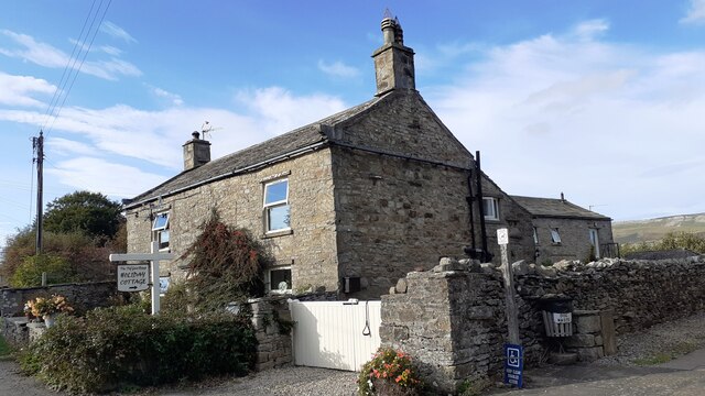
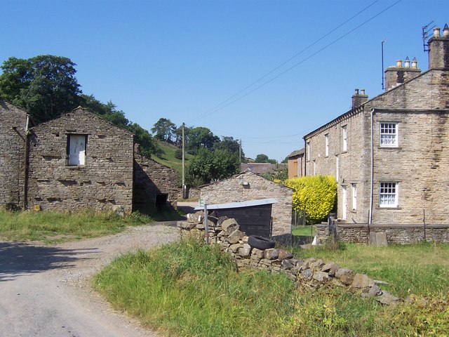
The village is known for its traditional stone-built houses, which add to its quaint and charming character. With a population of around 200 people, Cubeck offers a peaceful and tranquil atmosphere, making it an ideal getaway for those seeking a break from the hustle and bustle of city life.

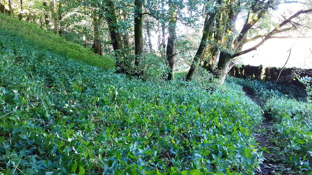
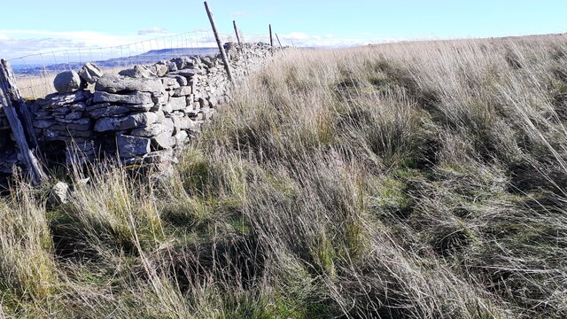
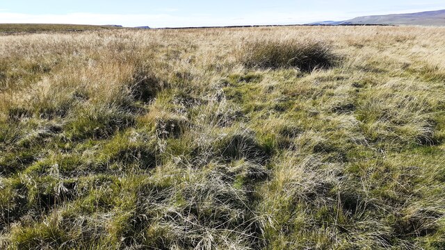
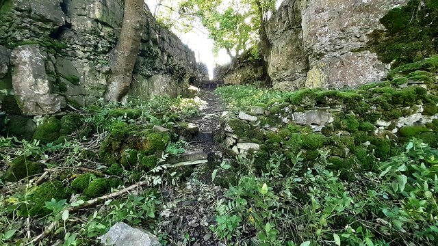
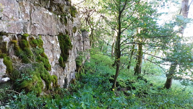
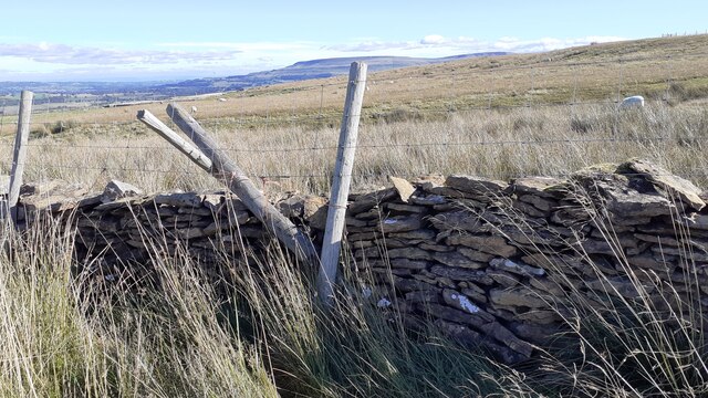
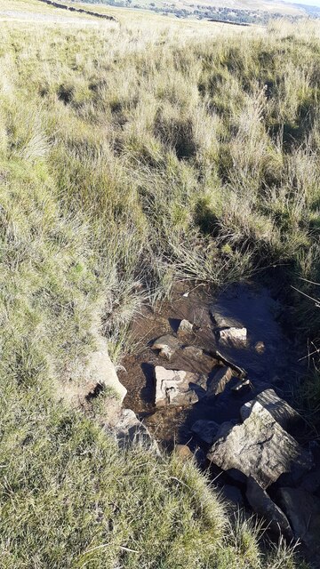
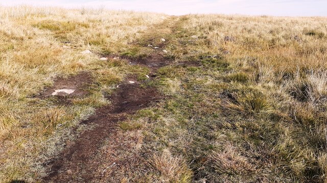
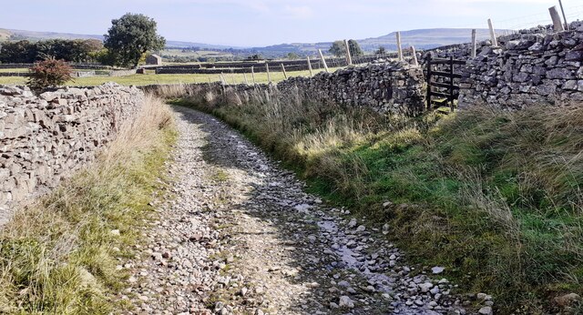
Nature enthusiasts will find plenty to explore in the surrounding area. Cubeck is surrounded by rolling hills, verdant meadows, and crystal-clear streams, making it an excellent destination for hikers, cyclists, and wildlife enthusiasts. The village is also in close proximity to several popular walking trails, including the famous Pennine Way.

Historically, Cubeck has roots dating back to the medieval period. The village features a 12th-century church, St. Oswald's, which showcases beautiful architecture and serves as a reminder of the area's rich past. Additionally, Cubeck is home to a traditional pub, The Crown Inn, where visitors can sample local ales and indulge in hearty Yorkshire cuisine.

Despite its small size, Cubeck offers amenities such as a village shop and a primary school, ensuring that residents have access to everyday necessities. The village also hosts a variety of community events throughout the year, fostering a strong sense of community spirit.

In conclusion, Cubeck is a picturesque village in Yorkshire, offering a serene environment, breathtaking natural beauty, and a glimpse into its medieval past. Its idyllic setting and welcoming atmosphere make it a must-visit destination for those seeking a peaceful retreat in the Yorkshire Dales.

If you have any feedback on the listing, please let us know in the comments section below.
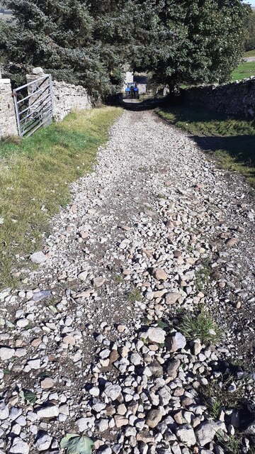
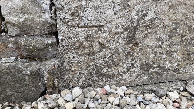
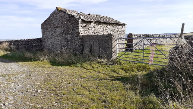
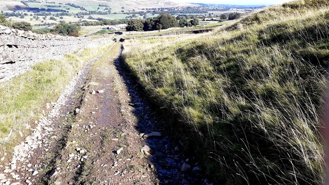
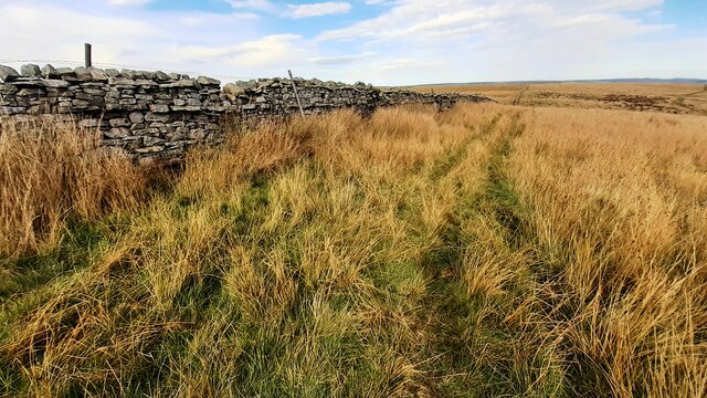
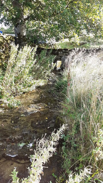
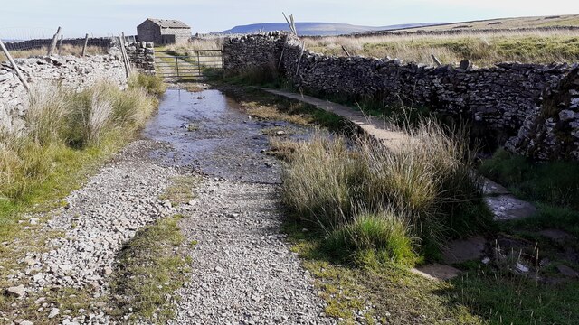
Cubeck Images

Images are sourced within 2km of 54.301035/-2.070284 or Grid Reference SD9589. Thanks to Geograph Open Source API. All images are credited.

Footpath through wood below Brough Scar
Corner of dry stone wall on Thornton Rust Moor
Open moorland on Worton Pasture
Footpath passing through gap in Brough Scar
Bridleway approaching Cubeck from SW
Benchmark on The Old Goat House Ordnance Survey cut mark benchmark described on the Bench Mark Database at <span class="nowrap"><a title="www.bench-marks.org.uk/bm31142" rel="nofollow ugc noopener" href="http://www.bench-marks.org.uk/bm31142">Link</a><img style="margin-left:2px;" alt="External link" title="External link - shift click to open in new window" src="https://s1.geograph.org.uk/img/external.png" width="10" height="10"/></span>
Benchmark on The Old Goat House
Ordnance Survey cut mark benchmark described on the Bench Mark Database at LinkExternal link
The Old Goat House There is an Ordnance Survey benchmark <a href="https://www.geograph.org.uk/photo/6985668">SD9788 : Benchmark on The Old Goat House</a> on the near corner, right hand face (behind the white gates), of the house
The Old Goat House
There is an Ordnance Survey benchmark SD9788 : Benchmark on The Old Goat House on the near corner, right hand face (behind the white gates), of the house
Barn beside track SW of Thornton Rust The 1893 1:2500 Map indicates an Ordnance Survey benchmark levelled at 1045.9 feet above Liverpool Datum on the front of the barn at its far corner
Barn beside track SW of Thornton Rust
The 1893 1:2500 Map indicates an Ordnance Survey benchmark levelled at 1045.9 feet above Liverpool Datum on the front of the barn at its far corner
Looking west along Brough Scar
View over dry stone wall of sheep grazing on Thornton Rust Moor
A stream on Worton Pasture
Remains of a building on Worton Pasture?
Bridleway from Worton Pasture towards Cubeck
Moorland view on Stony Rigg There is an animal trap on a log over a pit beside the wall at the gap in the rushes near the left hand edge of the image
Moorland view on Stony Rigg
There is an animal trap on a log over a pit beside the wall at the gap in the rushes near the left hand edge of the image
West Beck beside the Thornton Rust sheepfold 'Here sheep wash and clipping was undertaken to wash out lanolin and ticks (and salve) from sheep fleeces before clipping. The stream was blocked at the lower end of the sheep dip site by inserting a wooden slab between the two large stone slabs (which can be seen in the photo in front of the hole in the dry stone wall) set in the stream. This created a large pool into which the sheep were driven and individually washed. This practice stopped in the early 1900s. One reason was that the wool processors realised that lanolin was a valuable product which they preferred to be left in the fleeces to process themselves'.
West Beck beside the Thornton Rust sheepfold
'Here sheep wash and clipping was undertaken to wash out lanolin and ticks (and salve) from sheep fleeces before clipping. The stream was blocked at the lower end of the sheep dip site by inserting a wooden slab between the two large stone slabs (which can be seen in the photo in front of the hole in the dry stone wall) set in the stream. This created a large pool into which the sheep were driven and individually washed. This practice stopped in the early 1900s. One reason was that the wool processors realised that lanolin was a valuable product which they preferred to be left in the fleeces to process themselves'.
Ford and raised footpath over West Beck on track towards Thornton Rusk The track passes an old stone barn <a href="https://www.geograph.org.uk/photo/6985769">SD9688 : Barn beside track SW of Thornton Rust</a> about 50m past the gate.
Ford and raised footpath over West Beck on track towards Thornton Rusk
The track passes an old stone barn SD9688 : Barn beside track SW of Thornton Rust about 50m past the gate.
Moorland track towards Thornton Rust on Thornton Rust Moor The 1893 Map shows a benchmark levelled at 1183.7 feet near here
Moorland track towards Thornton Rust on Thornton Rust Moor
The 1893 Map shows a benchmark levelled at 1183.7 feet near here
Track towards Thornton Rust Ordnance Survey records indicate that a benchmark levelled at 274.774m above Newlyn Datum was verified in 1954 on a stone in the dry stone wall on the left hand side of the track 4.6m past the junction of walls on the right hand side of the track.
Track towards Thornton Rust
Ordnance Survey records indicate that a benchmark levelled at 274.774m above Newlyn Datum was verified in 1954 on a stone in the dry stone wall on the left hand side of the track 4.6m past the junction of walls on the right hand side of the track.
Show me another place!

Cubeck is located at Grid Ref: SD9589 (Lat: 54.301035, Lng: -2.070284)

Division: North Riding

Administrative County: North Yorkshire

District: Richmondshire

Police Authority: North Yorkshire

What 3 Words

///foot.flute.aimlessly. Near Leyburn, North Yorkshire

Related Wikis

Cubeck

Cubeck is a hamlet in the Richmondshire district of North Yorkshire, England. It is near Thornton Rust and Worton. == External links == Media related...

Worton, North Yorkshire

Worton is a hamlet in Wensleydale in the Yorkshire Dales in the Richmondshire district of North Yorkshire, England. It lies 1-mile (1.6 km) east of Bainbridge...

Nappa Hall

Nappa Hall is a fortified manor house in Wensleydale, North Yorkshire, England, described by English Heritage as "probably the finest and least-spoilt...

Addlebrough

Addlebrough is a fell in Wensleydale, North Yorkshire, England. It is 481 m (1,578 ft) high. Bronze Age inhabitants built homes and enclosures on the fell...

Nearby Amenities

Located within 500m of 54.301035,-2.070284
Cubeck
Place: hamlet
Source: os_25k_firstseries
Wikidata: Q736927
Lat/Long: 54.3008212/-2.0715357
East Scar Top Farm
Place: farm
Lat/Long: 54.299518/-2.0637489
Post Box
Source: survey
Lat/Long: 54.3009189/-2.0706601
Power: pole
Lat/Long: 54.304879/-2.0675205
Power: pole
Lat/Long: 54.3035714/-2.0646438
Power: pole
Lat/Long: 54.3039095/-2.0659313
Power: pole
Lat/Long: 54.3040926/-2.0674494
Power: pole
Lat/Long: 54.3042491/-2.0687717
Power: pole
Lat/Long: 54.3044197/-2.0701075
Power: pole
Lat/Long: 54.3046122/-2.0717463
Power: pole
Lat/Long: 54.3046622/-2.0731598
Power: pole
Lat/Long: 54.3047029/-2.0745921
Ford: yes
Lat/Long: 54.3021775/-2.0639531
Power: pole
Lat/Long: 54.3044514/-2.0700721
Power: pole
Lat/Long: 54.303589/-2.0709905
Power: pole
Lat/Long: 54.30281/-2.0712464
Power: pole
Lat/Long: 54.3022653/-2.0714045
Power: pole
Lat/Long: 54.3015757/-2.0716178
The data included in this document is from www.openstreetmap.org. The data is made available under ODbL.

Have you been to Cubeck?

Leave your review of Cubeck below (or comments, questions and feedback).