Ardullie
Settlement in Ross-shire
Scotland
Ardullie
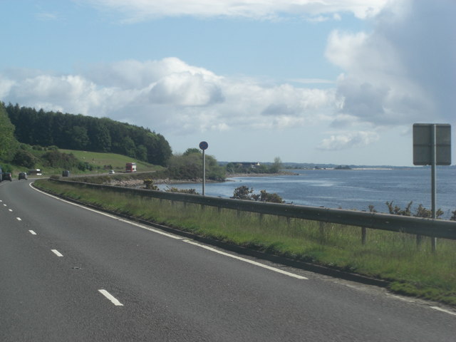
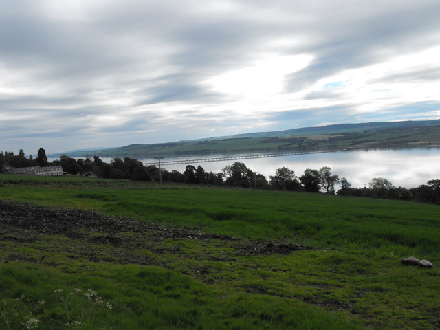
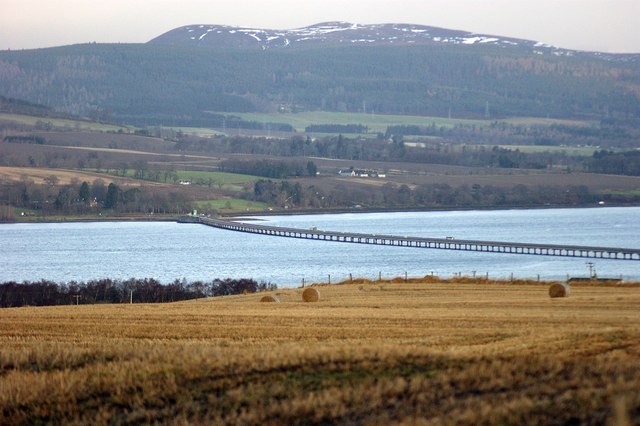
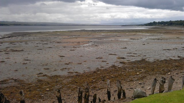
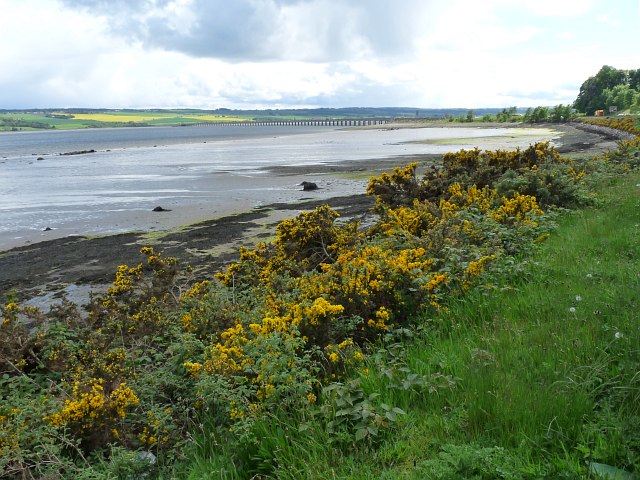
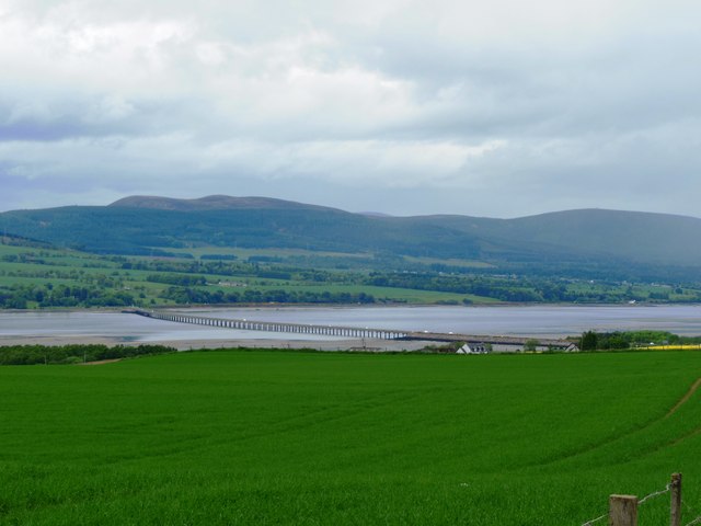
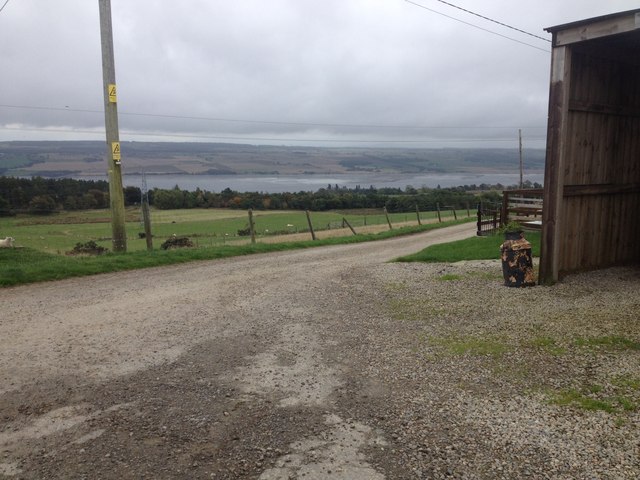
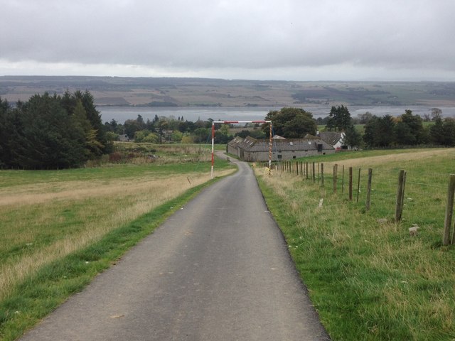
Ardullie is a small village located in the county of Ross-shire, in the Highland region of Scotland. Situated on the northern banks of the Cromarty Firth, Ardullie offers stunning views of the surrounding countryside and is renowned for its natural beauty.
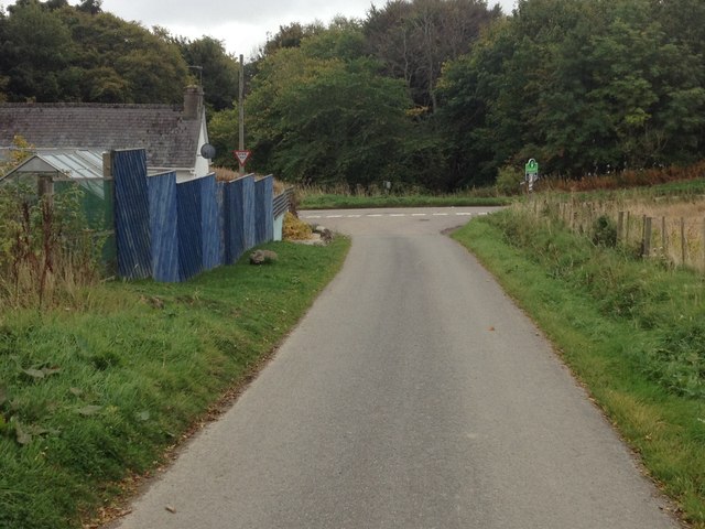
The village is characterized by its traditional stone cottages and charming rural atmosphere. It is home to a close-knit community of approximately 200 residents, who enjoy a peaceful and tranquil way of life. The local economy primarily relies on agriculture, with many residents working in farming or related industries.
Despite its small size, Ardullie benefits from a number of amenities and services. These include a village hall, a primary school, and a post office. The village also boasts a pub, which serves as a popular gathering spot for locals and visitors alike.
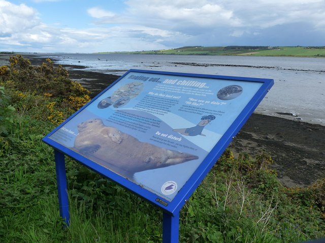
Ardullie is ideally situated for outdoor enthusiasts, with a range of activities available in the surrounding area. The nearby Black Isle provides opportunities for hiking and cycling, while the Cromarty Firth is popular for sailing and water sports. Wildlife enthusiasts can also enjoy birdwatching and spotting seals along the coast.
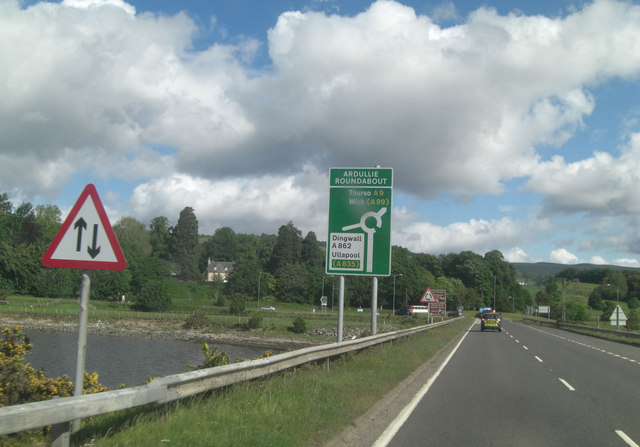
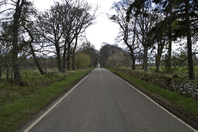
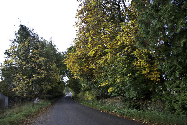
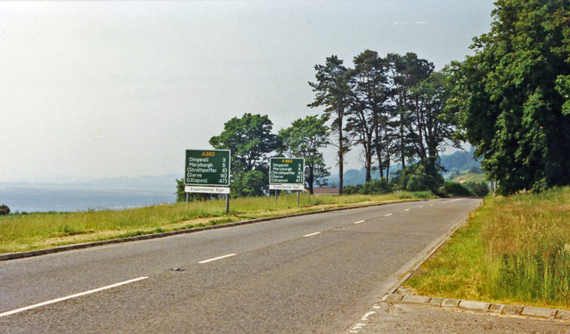
The village is well-connected to the wider region by road, with the A9 passing close by. Inverness, the capital of the Highlands, is just a short drive away, offering a wider range of amenities and services.
Overall, Ardullie is a picturesque village that offers a peaceful and idyllic lifestyle, with stunning natural surroundings and a strong sense of community.
If you have any feedback on the listing, please let us know in the comments section below.
Ardullie Images
Images are sourced within 2km of 57.634501/-4.3800321 or Grid Reference NH5863. Thanks to Geograph Open Source API. All images are credited.
Ardullie is located at Grid Ref: NH5863 (Lat: 57.634501, Lng: -4.3800321)
Unitary Authority: Highland
Police Authority: Highlands and Islands
What 3 Words
///dishes.perfectly.state. Near Evanton, Highland
Nearby Locations
Related Wikis

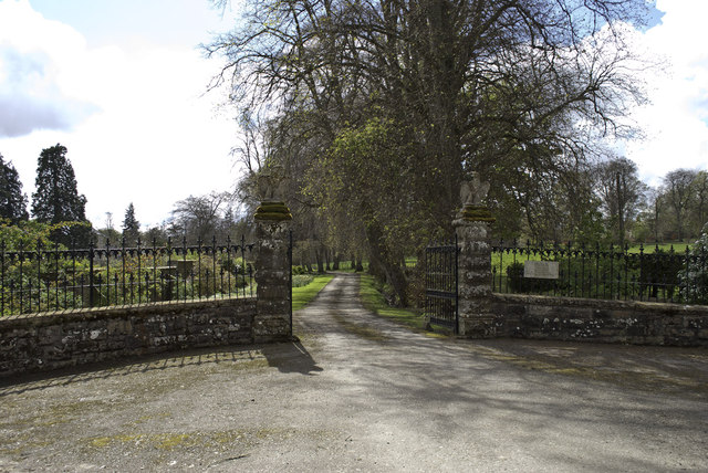
Lemlair House
Lemlair House is a mansion house in the parish of Kiltearn, Ross-shire, in the Highland council area of the Scottish Highlands. == History == A 17th century...

Ardullie
Ardullie (Scottish Gaelic: Àird Ilidh) is a village in Ross-shire, in the Highland council area of Scotland. It is on the north shore of the Cromarty Firth...

Foulis Castle
Foulis Castle is situated two miles south-west of Evanton in the parish of Kiltearn, Ross and Cromarty, Scotland. It is a white washed mansion that incorporates...

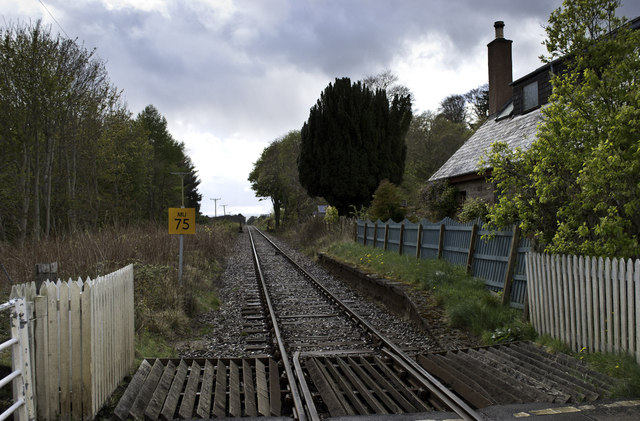
Foulis railway station
Foulis railway station served the village of Ardullie, Highland, Scotland from 1863 to 1964 on the Inverness and Ross-shire Railway. == History == The...

Mountgerald
Mountgerald (Scottish Gaelic: An Claon) is a small hamlet which lies close to the head of the Cromarty Firth, on the west coast. It is 2 miles (3 km)...

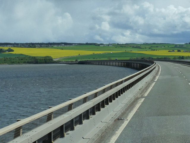
Cromarty Bridge
The Cromarty Bridge is a road bridge over the Cromarty Firth in Scotland. == History == === Design === The bridge joins a junction with the B9163 to the...
Swordale, Ross-shire
Swordale is a very small village which lies below the hill of the same name and above the River Sgitheach, in the parish of Kiltearn in eastern Ross-shire...
Black Rock Gorge
Black Rock Gorge is a deep and narrow cleft in Old Red Sandstone conglomerate through which the Allt Graad (also known as the 'River Glass') flows in Easter...
Nearby Amenities
Located within 500m of 57.634501,-4.3800321Have you been to Ardullie?
Leave your review of Ardullie below (or comments, questions and feedback).