An Àird Uaine
Settlement in Argyllshire
Scotland
An Àird Uaine
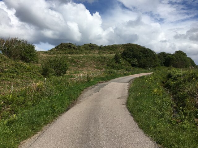
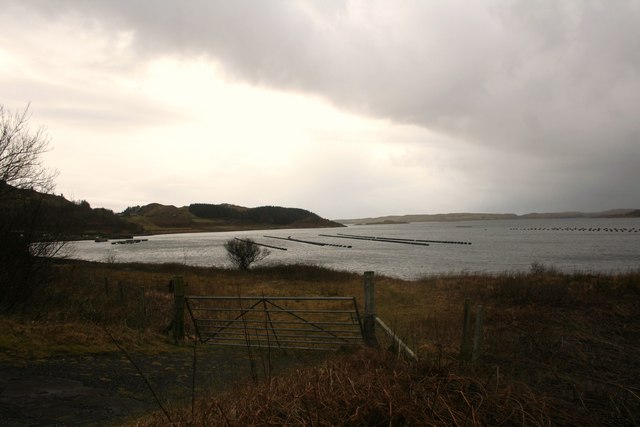
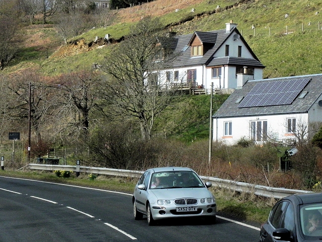
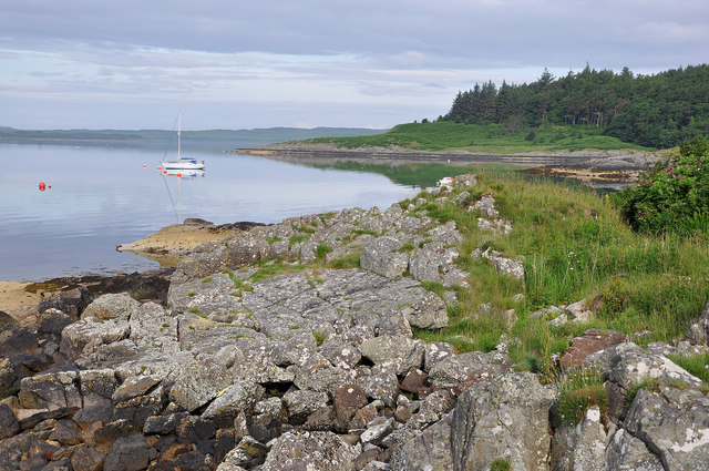
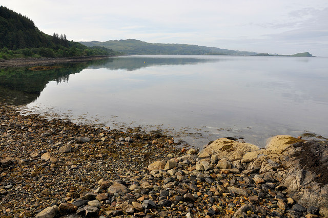
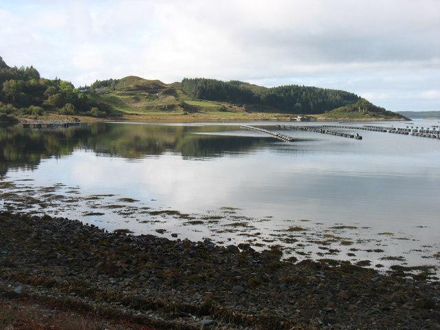
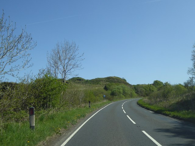
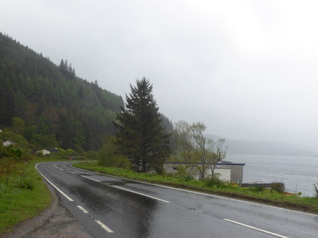
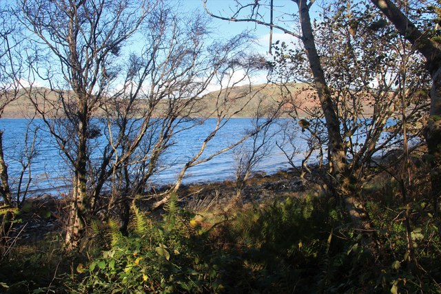
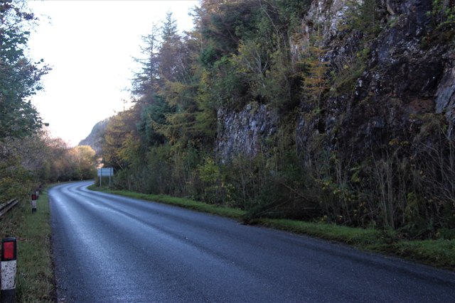
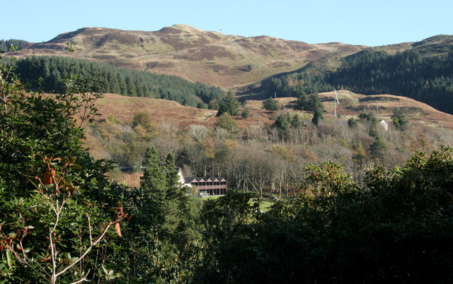
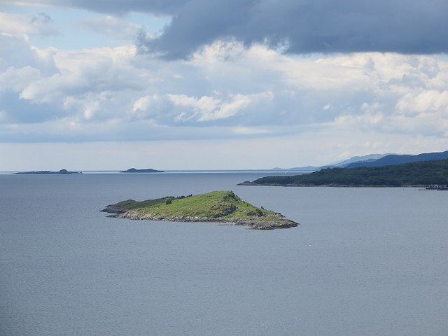
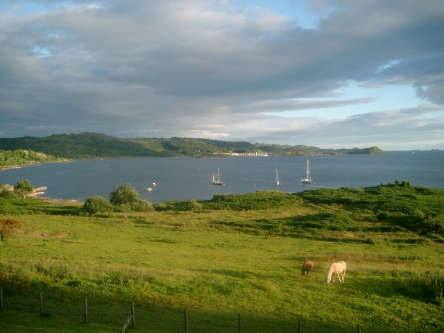
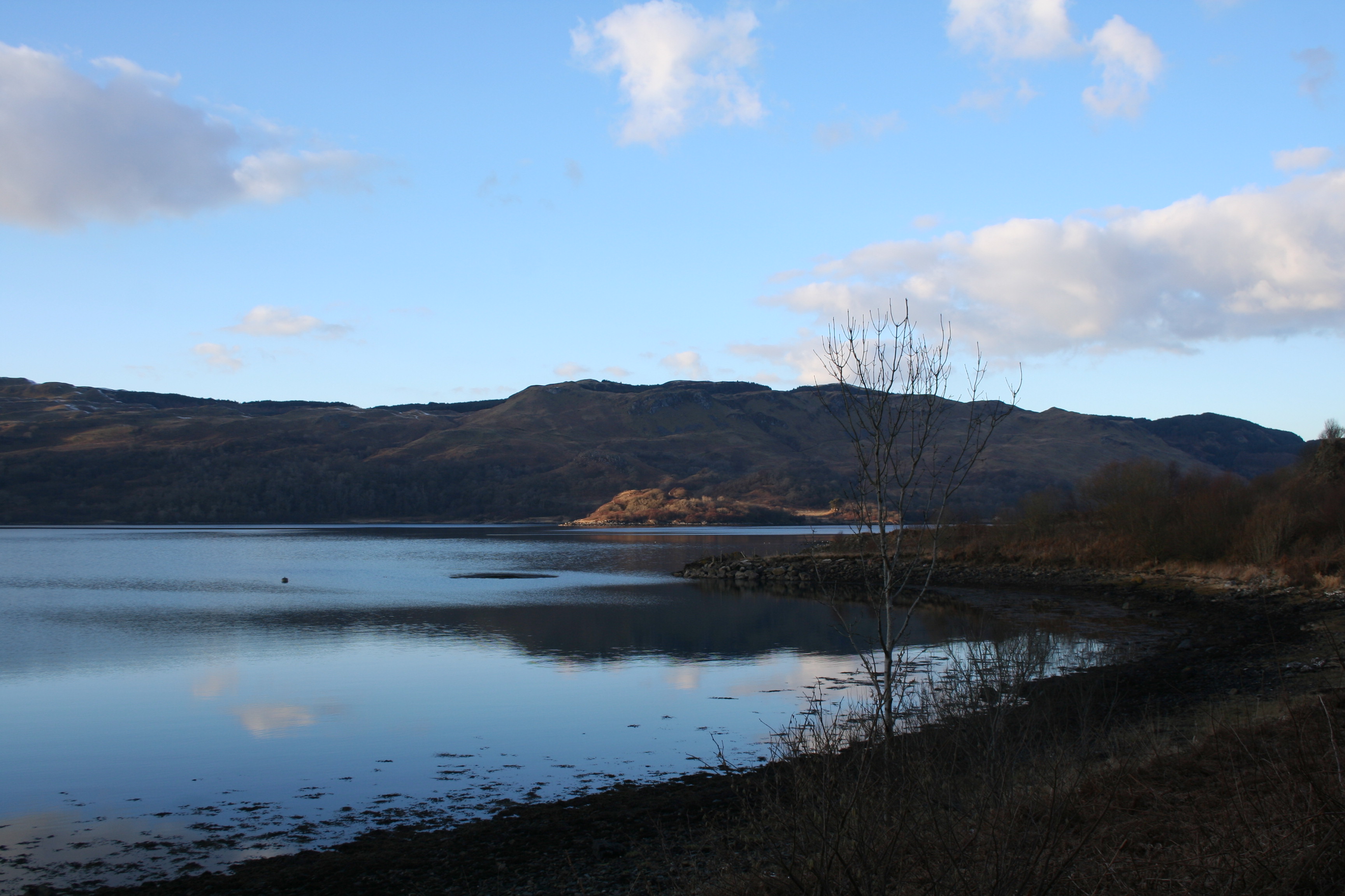
An Àird Uaine is a small village located in the region of Argyllshire, in western Scotland. Situated on the picturesque shores of Loch Creran, this charming settlement offers breathtaking views of the surrounding natural beauty.
The village is known for its peaceful and idyllic atmosphere, making it a popular destination for those seeking tranquility and a retreat from the bustling city life. With a population of around 300 residents, An Àird Uaine retains a close-knit community feel, where locals are friendly and welcoming to visitors.
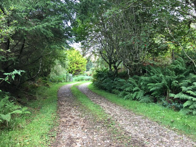
The surrounding landscape is characterized by rolling hills, lush greenery, and the sparkling waters of the loch. This makes An Àird Uaine a haven for outdoor enthusiasts, who can explore the numerous walking trails, go fishing in the loch, or simply enjoy a picnic by the water's edge.
Despite its small size, the village has a few amenities to offer its residents and visitors. There is a local pub where one can enjoy a pint and engage in friendly conversation, and a small convenience store for everyday essentials. For more extensive shopping or entertainment options, the nearby town of Oban is easily accessible.
An Àird Uaine also benefits from its proximity to some notable attractions. The historic Dunstaffnage Castle is just a short drive away, providing a glimpse into Scotland's rich past. Additionally, the famous Glencoe Valley, renowned for its stunning landscapes and hiking opportunities, is within reach for a day trip.
Overall, An Àird Uaine is a hidden gem in Argyllshire, offering a peaceful retreat amidst Scotland's natural beauty.
If you have any feedback on the listing, please let us know in the comments section below.
An Àird Uaine Images
Images are sourced within 2km of 56.232138/-5.5494036 or Grid Reference NM8010. Thanks to Geograph Open Source API. All images are credited.

An Àird Uaine is located at Grid Ref: NM8010 (Lat: 56.232138, Lng: -5.5494036)
Unitary Authority: Argyll and Bute
Police Authority: Argyll and West Dunbartonshire
Also known as: Arduaine
What 3 Words
///watch.laces.fattest. Near Oban, Argyll & Bute
Nearby Locations
Related Wikis

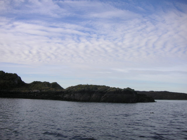
Asknish Bay
Asknish Bay is a small, remote, southwest-facing coastal embayment, located next to the small settlement of Arduaine within Argyll and Bute, Scotland....
Arduaine
Arduaine (Scottish Gaelic: An Àird Uaine, lit. 'green/fertile promontory or headland', pronounced "Ard oo an-ye") is a village in Argyll and Bute, Scotland...

Craobh Haven
Craobh Haven Scottish Gaelic pronunciation: [kɾɯːv] is a small purpose-built village and sailing port on the west coast of Argyll and Bute, Scotland. It...
Kames Bay, Loch Melfort
Kames Bay is small remote tidal north by northwest facing coastal embayment forming part of the southern coast of Loch Melfort within Argyll and Bute,...

Craignish
Craignish (Scottish Gaelic, Creiginis) is a peninsula in Argyll, on the west coast of Scotland. It lies around 25 miles (40 km) south of Oban, and 10 miles...

Shuna, Slate Islands
Shuna (Scottish Gaelic: Siuna) is one of the Slate Islands lying east of Luing on the west coast of Scotland. == History == In 1815, James Yates, a Glasgow...
Dunan Aula
Dunan Aula, also known in Scottish Gaelic as Dùnan Amhlaidh, is the site of an exposed cist, located in the parish of Craignish, in Argyll and Bute, Scotland...

Ardinamir
Ardinamir is an anchorage and small settlement on the island of Luing in Argyll and Bute, Scotland. == References ==
Nearby Amenities
Located within 500m of 56.232138,-5.5494036Have you been to An Àird Uaine?
Leave your review of An Àird Uaine below (or comments, questions and feedback).