Ardvannie

Settlement in Ross-shire

Scotland

Ardvannie

Dounie and copse A quiet stretch of the old A9 between Tain and Ardgay - much less frequented after the opening of the Dornoch Firth Bridge in 1991.
Dounie and copse Credit: Peter Moore

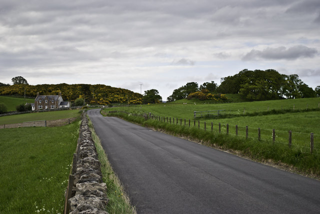
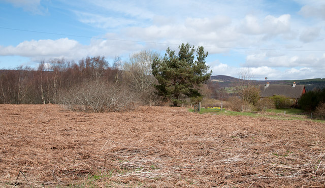
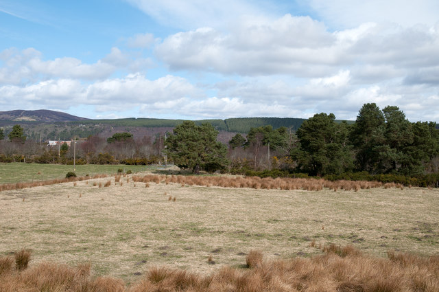
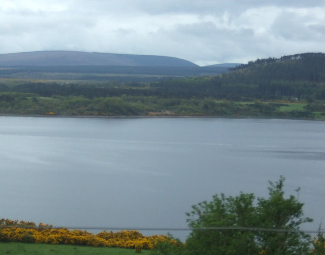
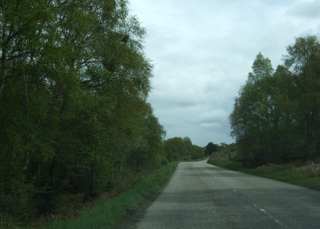
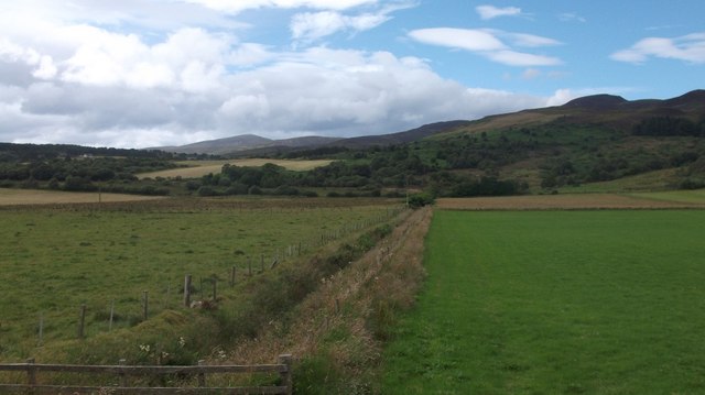
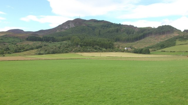
Ardvannie is a small village located in the county of Ross-shire, in the Scottish Highlands, United Kingdom. Situated on the eastern coast, it can be found approximately 12 miles north of the town of Tain and 25 miles northeast of the city of Inverness. The village is nestled between the Dornoch Firth to the east and the rolling hills of the Easter Ross countryside to the west.

With a population of around 500 residents, Ardvannie retains a strong sense of community. The village is characterized by its picturesque setting, with stunning views of the surrounding countryside and easy access to the waterfront. The Dornoch Firth itself is a prominent feature, offering opportunities for recreational activities such as fishing, boating, and wildlife watching.

The village has a small number of amenities to cater to the needs of its residents. These include a village hall, a primary school, a post office, and a local shop. For further amenities, residents often commute to neighboring towns.

Ardvannie is also well-positioned for outdoor enthusiasts, with the nearby Scottish Highlands offering a multitude of hiking trails, nature reserves, and golf courses. The village is also a short drive away from the famous Royal Dornoch Golf Club, renowned for its championship courses.

Overall, Ardvannie provides a peaceful and scenic living environment, with its coastal location, natural beauty, and proximity to larger towns making it an attractive place for both permanent residents and visitors seeking a peaceful Highland retreat.

If you have any feedback on the listing, please let us know in the comments section below.
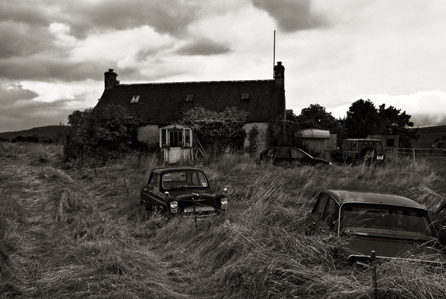
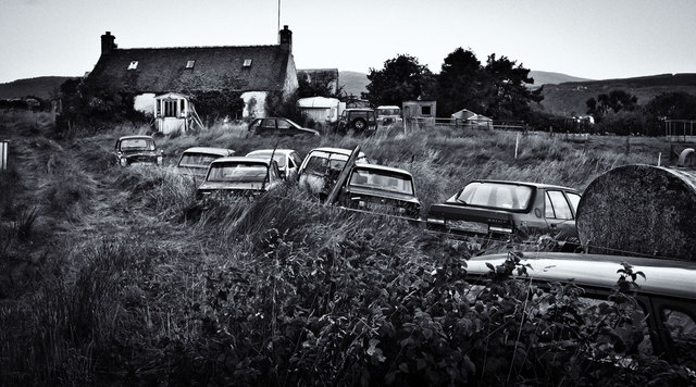
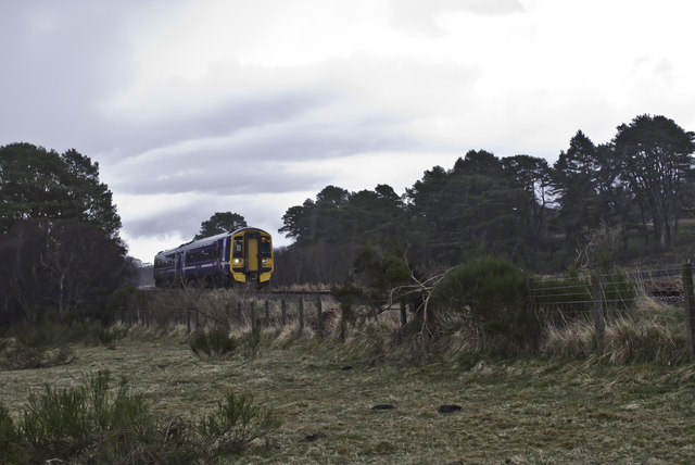
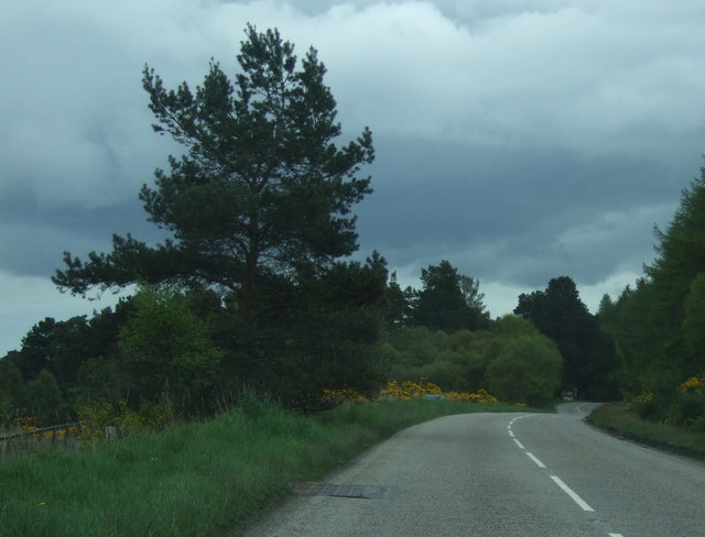
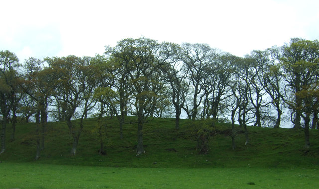
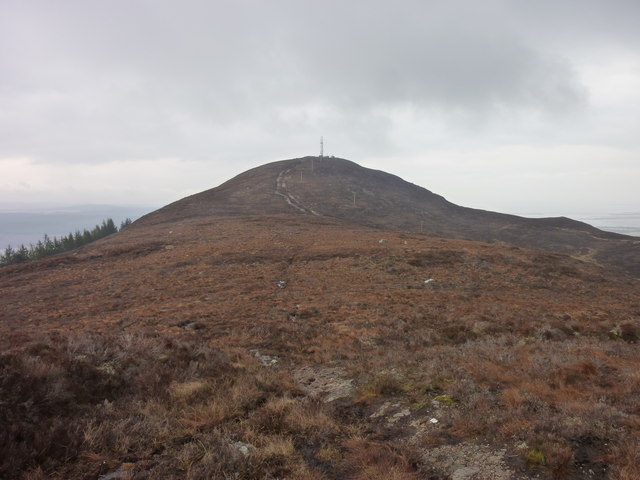
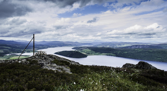
Ardvannie Images

Images are sourced within 2km of 57.856231/-4.222123 or Grid Reference NH6887. Thanks to Geograph Open Source API. All images are credited.

Dounie and copse A quiet stretch of the old A9 between Tain and Ardgay - much less frequented after the opening of the Dornoch Firth Bridge in 1991.
Dounie and copse
A quiet stretch of the old A9 between Tain and Ardgay - much less frequented after the opening of the Dornoch Firth Bridge in 1991.
Automotive graveyard An old Ford Prefect, Triumph Dolomite and Austin Maestro amongst others just fading away.... After asking folk who live locally, I find that the collector is a delightful older gentleman know as Big Iain.
Automotive graveyard
An old Ford Prefect, Triumph Dolomite and Austin Maestro amongst others just fading away.... After asking folk who live locally, I find that the collector is a delightful older gentleman know as Big Iain.
Automotive graveyard 2 More cars degrading
Automotive graveyard 2
More cars degrading
Afternoon service to Wick DMU 158723 heading north
Afternoon service to Wick
DMU 158723 heading north
Bracken debris beside A836 Bracken grows high and densely forming a total blanket over land and excluding most other plant life. In the autumn the plants die back tumbling and crumbling through winter to form a mulch through which a new mass of fronds will grow in the spring.
Bracken debris beside A836
Bracken grows high and densely forming a total blanket over land and excluding most other plant life. In the autumn the plants die back tumbling and crumbling through winter to form a mulch through which a new mass of fronds will grow in the spring.
Field at Ardvannie The field lies north of the A836 at Ardvannie, a location below Dounie Wood. The distant ground with plantations lies on the north side of the Dornoch Firth.
Field at Ardvannie
The field lies north of the A836 at Ardvannie, a location below Dounie Wood. The distant ground with plantations lies on the north side of the Dornoch Firth.
View towards the Dornoch Firth
A836 towards Tain  Heading north east.
A836 towards Tain
Heading north east.
A836 heading east  Towards Tain.
A836 heading east
Towards Tain.
A836 towards Tain  Heading south east.
A836 towards Tain
Heading south east.
Woodland east of the A836
Struie Hill - March 2015 Looking toward Struie hill (and the mast adorning the summit) from the path that traverses the ridge.
Struie Hill - March 2015
Looking toward Struie hill (and the mast adorning the summit) from the path that traverses the ridge.
Dornoch Firth View Looking across the Dornoch Firth with the tide well out from a train passing through Ardvannie.
Dornoch Firth View
Looking across the Dornoch Firth with the tide well out from a train passing through Ardvannie.
Towards Spinningdale Looking across the Dornoch Firth towards Spinningdale from a Wick-bound train on a bright late-March morning.
Towards Spinningdale
Looking across the Dornoch Firth towards Spinningdale from a Wick-bound train on a bright late-March morning.
Old fence post, cairn and rocks on the top of the Struie
Ditch, Dounie Draining low lying ground at the foot of Struie Hill.
Ditch, Dounie
Draining low lying ground at the foot of Struie Hill.
Struie Hill The steep northern end of the ridge.  The highest point is some distance away to the south and is easily ascended from the Struie road.
Struie Hill
The steep northern end of the ridge. The highest point is some distance away to the south and is easily ascended from the Struie road.
Field near Ardvannie As the coastal plain gets squeezed by Struie Hill, the ground turns to woodland in contrast to the big fields around Edderton.  A small field remains beside the A836.
Field near Ardvannie
As the coastal plain gets squeezed by Struie Hill, the ground turns to woodland in contrast to the big fields around Edderton. A small field remains beside the A836.
Show me another place!

Ardvannie is located at Grid Ref: NH6887 (Lat: 57.856231, Lng: -4.222123)

Unitary Authority: Highland

Police Authority: Highlands and Islands

What 3 Words

///surprises.rests.prevented. Near Tain, Highland

Nearby Locations

Ardvannie

Related Wikis

A949 road

The A949 is a major road in Sutherland, in the Highland area of Scotland. It has staggered junctions with the A9. From the A949 the A9 runs (1) generally...

Ardmore, Easter Ross

Ardmore (Scottish Gaelic: An Àird Mhòr) is a village on the south shore of Dornoch Firth in Tain, Ross-shire, Highland and is in the Scottish council area...

Balblair distillery

Balblair distillery is a Scotch malt whisky distillery located in Edderton, Ross-shire, Scotland. Founded in 1790, the distillery was rebuilt in 1895 by...

Edderton railway station

Edderton railway station served the village of Edderton, Highland, Scotland from 1864 to 1960 on the Inverness and Ross-shire Railway. == History == The...

Nearby Amenities

Located within 500m of 57.856231,-4.222123
Created By: almien_coastlines
Source: PGS
Lat/Long: 57.860077/-4.217737
Created By: almien_coastlines
Source: PGS
Lat/Long: 57.860072/-4.218218
Source: PGS
Lat/Long: 57.8598109/-4.2196174
Source: PGS
Lat/Long: 57.8596493/-4.2201834
Source: PGS
Lat/Long: 57.8595943/-4.2204822
Source: PGS
Lat/Long: 57.8595566/-4.2207808
Source: PGS
Lat/Long: 57.8594724/-4.2209938
Source: PGS
Lat/Long: 57.8593471/-4.2212386
Source: PGS
Lat/Long: 57.8592243/-4.2214824
Source: PGS
Lat/Long: 57.8591082/-4.2217458
Source: PGS
Lat/Long: 57.8589011/-4.222313
Created By: almien_coastlines
Source: PGS
Lat/Long: 57.858747/-4.222976
Source: PGS
Lat/Long: 57.8587746/-4.223583
Created By: almien_coastlines
Source: PGS
Lat/Long: 57.858728/-4.224897
Power: pole
Lat/Long: 57.8564747/-4.2296022
Power: pole
Lat/Long: 57.8563391/-4.2286876
Power: pole
Lat/Long: 57.856175/-4.227494
Power: pole
Lat/Long: 57.8567437/-4.2197867
Power: pole
Lat/Long: 57.8566902/-4.2209065
Power: pole
Lat/Long: 57.8555799/-4.2228739
Power: pole
Lat/Long: 57.8560822/-4.2218024
Power: pole
Lat/Long: 57.857856/-4.228296
Power: pole
Lat/Long: 57.8576634/-4.2273961
Power: pole
Lat/Long: 57.8576698/-4.2265204
Power: pole
Lat/Long: 57.8576662/-4.2253777
Power: pole
Lat/Long: 57.8576605/-4.223582
Power: pole
Lat/Long: 57.8576627/-4.2225319
Power: pole
Lat/Long: 57.8575235/-4.2211358
Power: pole
Lat/Long: 57.8573152/-4.2203245
Power: pole
Lat/Long: 57.85682/-4.2184536
Power: pole
Lat/Long: 57.856611/-4.2172869
Power: pole
Lat/Long: 57.8564083/-4.2161778
Power: pole
Lat/Long: 57.8559773/-4.2138362
Power: pole
Lat/Long: 57.8570612/-4.2192154
Power: pole
Lat/Long: 57.8568229/-4.2178997
Power: pole
Lat/Long: 57.8562264/-4.2145228
Power: pole
Lat/Long: 57.857126/-4.2139968
Power: pole
Lat/Long: 57.8569328/-4.2140597
The data included in this document is from www.openstreetmap.org. The data is made available under ODbL.

Have you been to Ardvannie?

Leave your review of Ardvannie below (or comments, questions and feedback).