Craycombe Coppice

Wood, Forest in Worcestershire Wychavon

England

Craycombe Coppice

A44 near Wood Norton
A44 near Wood Norton Credit: Peter Whatley

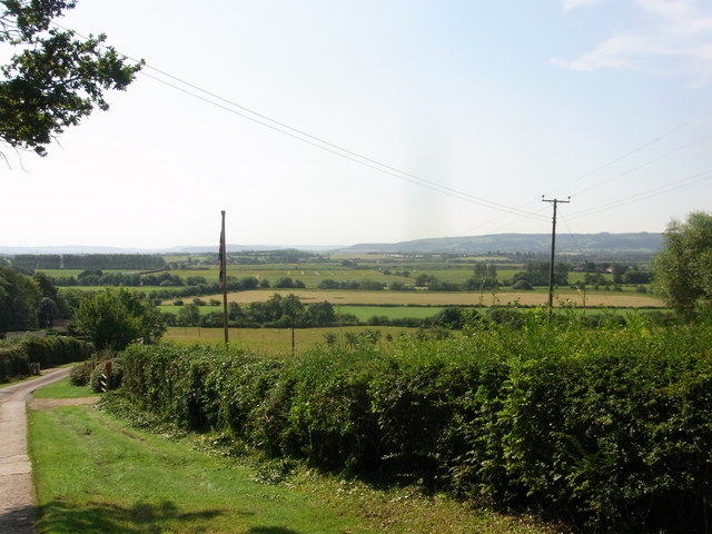
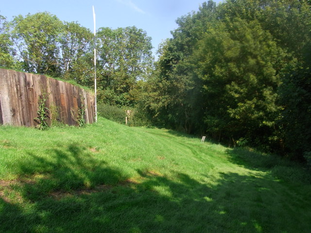
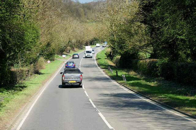
Craycombe Coppice is a picturesque woodland area located in Worcestershire, England. Covering an area of approximately 100 acres, this ancient woodland is renowned for its natural beauty and diverse range of flora and fauna.

The woodland is predominantly composed of native broadleaf trees such as oak, ash, and beech, creating a lush and verdant canopy that provides a habitat for a multitude of wildlife species. The forest floor is carpeted with bluebells, wild garlic, and other woodland flowers, adding to the enchanting atmosphere of the area.

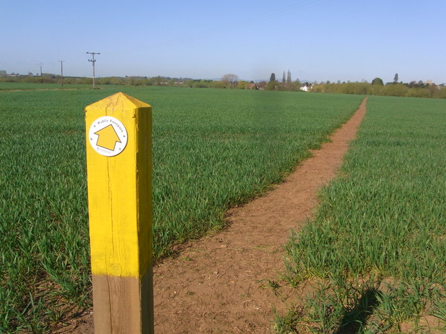
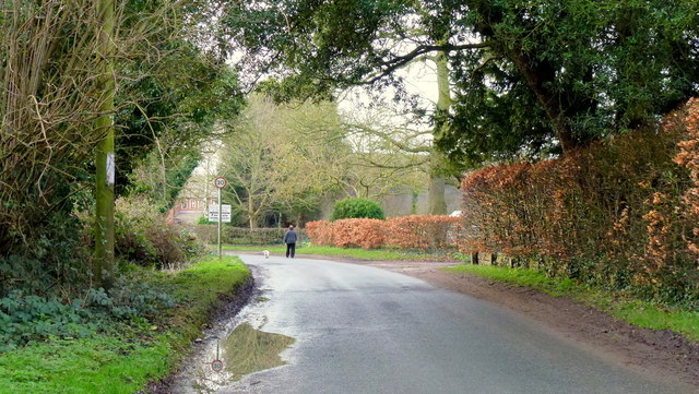
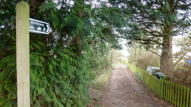
Craycombe Coppice is a popular destination for nature enthusiasts, hikers, and photographers who are drawn to its tranquil ambiance and stunning scenery. The woodland is crisscrossed with a network of well-maintained footpaths, allowing visitors to explore the area at their leisure.

In addition to its natural beauty, Craycombe Coppice also has a rich history. The woodland has been managed sustainably for centuries, with evidence of traditional woodland management techniques such as coppicing and pollarding still visible today. These practices have contributed to the diverse range of flora and fauna found in the woodland.

Overall, Craycombe Coppice is a hidden gem in Worcestershire, offering visitors a chance to escape the hustle and bustle of daily life and immerse themselves in the wonders of nature. Whether it's a leisurely stroll, a wildlife-spotting expedition, or simply a peaceful retreat, this woodland has something to offer for everyone.

If you have any feedback on the listing, please let us know in the comments section below.

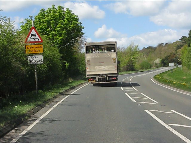
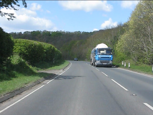
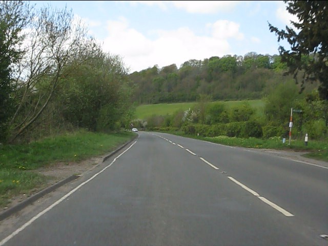
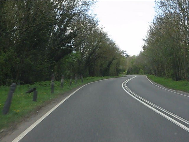
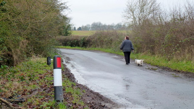
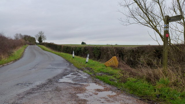
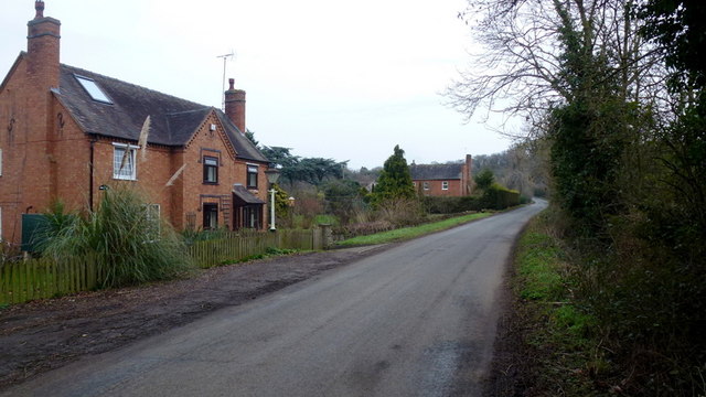
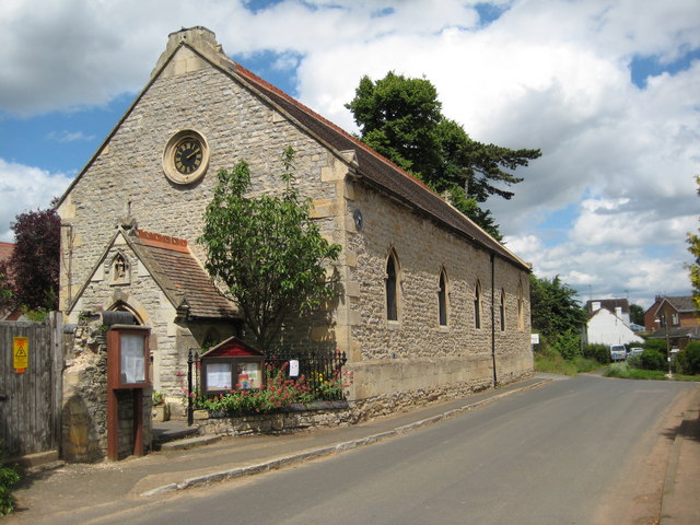
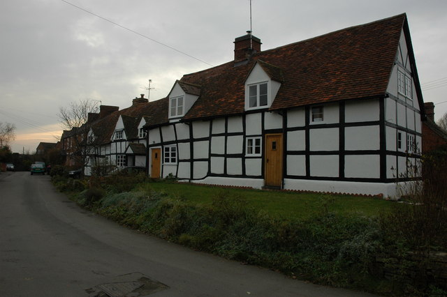
Craycombe Coppice Images

Images are sourced within 2km of 52.128309/-1.9899773 or Grid Reference SP0047. Thanks to Geograph Open Source API. All images are credited.

A44 near Wood Norton
A44 west of Wood Norton
A44 at the access to Craycombe Hill
A44 south of Craycombe Hill
A44 entering Fladbury
Through the crop towards Fladbury
Guardians of the gate Bridleway through the farm, no waymarks at all.
Guardians of the gate
Bridleway through the farm, no waymarks at all.
Bridleway gate almost hidden under the trees Right-of-way very little used and poorly marked (not at all).
Bridleway gate almost hidden under the trees
Right-of-way very little used and poorly marked (not at all).
Wychavon Way below Highclere View to the south with Bredon Hill in the distance.
Wychavon Way below Highclere
View to the south with Bredon Hill in the distance.
Footpath on the edge of Evesham Golf Course Former line of the Wychavon Way, now diverted further north via Machine Farm and Hill so avoiding having to walk a section alongside the busy A44.
Footpath on the edge of Evesham Golf Course
Former line of the Wychavon Way, now diverted further north via Machine Farm and Hill so avoiding having to walk a section alongside the busy A44.
Sheriff's Lench Lady and dog out for a walk on a mild January afternoon.
Sheriff's Lench
Lady and dog out for a walk on a mild January afternoon.
Manor Farm, Sheriff's Lench Modern buildings; clean and tidy.
Manor Farm, Sheriff's Lench
Modern buildings; clean and tidy.
Walking the dog The same lady and canine as in <a href="https://www.geograph.org.uk/photo/3280561">SP0149 : Sheriff's Lench</a> proceeding west along the lane towards Badger's Hill.
Walking the dog
The same lady and canine as in SP0149 : Sheriff's Lench proceeding west along the lane towards Badger's Hill.
Road to The Lenches The bridleway heading back over my right shoulder takes the public directly to the Evesham Road at Woodnorton Farm
Road to The Lenches
The bridleway heading back over my right shoulder takes the public directly to the Evesham Road at Woodnorton Farm
Bridleway at Hill Furze Heading north.
Bridleway at Hill Furze
Heading north.
Hill Furze Hamlet tucked into a fold of hills in East Worcestershire.
Hill Furze
Hamlet tucked into a fold of hills in East Worcestershire.
A44, Evesham Road The A44 is a major road in the United Kingdom that runs for 155 miles from Oxford in southern England to Aberystwyth in west Wales.
<span class="nowrap"><a title="http://www.sabre-roads.org.uk/wiki/index.php?title=A44" rel="nofollow ugc noopener" href="http://www.sabre-roads.org.uk/wiki/index.php?title=A44">Link</a><img style="margin-left:2px;" alt="External link" title="External link - shift click to open in new window" src="https://s1.geograph.org.uk/img/external.png" width="10" height="10"/></span>  SABRE
<span class="nowrap"><a title="https://en.wikipedia.org/wiki/A44_road" rel="nofollow ugc noopener" href="https://en.wikipedia.org/wiki/A44_road">Link</a><img style="margin-left:2px;" alt="External link" title="External link - shift click to open in new window" src="https://s1.geograph.org.uk/img/external.png" width="10" height="10"/></span>  Wikipedia
A44, Evesham Road
The A44 is a major road in the United Kingdom that runs for 155 miles from Oxford in southern England to Aberystwyth in west Wales. LinkExternal link SABRE LinkExternal link Wikipedia
A44 passing Wood Norton Hall The A44 is a major road in the United Kingdom that runs for 155 miles from Oxford in southern England to Aberystwyth in west Wales.
<span class="nowrap"><a title="http://www.sabre-roads.org.uk/wiki/index.php?title=A44" rel="nofollow ugc noopener" href="http://www.sabre-roads.org.uk/wiki/index.php?title=A44">Link</a><img style="margin-left:2px;" alt="External link" title="External link - shift click to open in new window" src="https://s1.geograph.org.uk/img/external.png" width="10" height="10"/></span>  SABRE
<span class="nowrap"><a title="https://en.wikipedia.org/wiki/A44_road" rel="nofollow ugc noopener" href="https://en.wikipedia.org/wiki/A44_road">Link</a><img style="margin-left:2px;" alt="External link" title="External link - shift click to open in new window" src="https://s1.geograph.org.uk/img/external.png" width="10" height="10"/></span>  Wikipedia
A44 passing Wood Norton Hall
The A44 is a major road in the United Kingdom that runs for 155 miles from Oxford in southern England to Aberystwyth in west Wales. LinkExternal link SABRE LinkExternal link Wikipedia
Show me another place!

Craycombe Coppice is located at Grid Ref: SP0047 (Lat: 52.128309, Lng: -1.9899773)

Administrative County: Worcestershire

District: Wychavon

Police Authority: West Mercia

What 3 Words

///scrubber.printing.partners. Near Harvington, Worcestershire

Related Wikis

Norton and Lenchwick

Norton and Lenchwick is a civil parish in the Wychavon district, in the county of Worcestershire, England. The parish population in 2021 was 1,056. The...
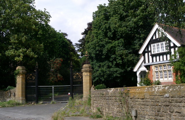
Wood Norton Hall

Wood Norton Hall is a Grade II* listed Victorian stately home to the northwest of Evesham, Worcestershire, England. It was the last home in England of...

Fladbury railway station

Fladbury railway station was a station in Fladbury, Worcestershire, England. The station was opened in 1854 and closed in 1966. == References == ��2�...
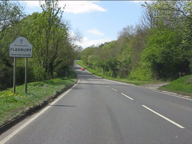
Fladbury

Fladbury is a traditional English village located in rural Worcestershire, England. The village was mentioned in the Domesday Book, almost 1,000 years...

Charlton, Worcestershire

Charlton is a village in the Wychavon district of the county of Worcestershire, England. During the 2007 United Kingdom floods, many homes were affected...

Ab Lench

Ab Lench is a village and former civil parish, now in the parish of South Lenches, in the Wychavon district, in the county of Worcestershire, England...

Lower Moor

Lower Moor is a village between Wyre Piddle and Fladbury in the district of Wychavon in Worcestershire, England.

Hill and Moor

Hill and Moor is a civil parish in the Wychavon district of Worcestershire, England. It includes the village Lower Moor and the hamlets of Upper Moor...

Related Videos

Cropthorne A Village in Worcestershire England. Filmed in 4K in March 2021. Quintessentially English

Cropthorne Is a village in Worcestershire England. On the edge of the Cotswolds in the Vale of Evesham. Filmed in 4K 60fps in ...

Gone Walkabout - Walk 1,000 Miles - Day Ninety-Six - 134 Miles To Go - Tim Remembers An Old Friend

Ninety-sixth day of the Walk 1000 Miles 2021 Challenge. Today's walk took me to the little village of Fladbury, Worcestershire.

Wood Norton Hall Gates

Wood Norton Hall Gates. The historic golden gates from the Palace of Versailles now stand proud at the entrance of Wood Norton ...

Nearby Amenities

Located within 500m of 52.128309,-1.9899773
Barrier: stile
Foot: yes
Lat/Long: 52.1252294/-1.9944919
Barrier: stile
Foot: yes
Lat/Long: 52.1263888/-1.9948595
Barrier: stile
Foot: yes
Lat/Long: 52.1267538/-1.9949609
Barrier: kissing_gate
Foot: yes
Lat/Long: 52.1278502/-1.9854553
Bench
Material: wood
Source: survey
Lat/Long: 52.1276139/-1.987241
Power: pole
Lat/Long: 52.1308333/-1.9839854
Power: pole
Lat/Long: 52.1302057/-1.9845897
Sparrows Nest
Power: pole
Transformer: distribution
Voltage Primary: 11000
Lat/Long: 52.1294456/-1.9853823
Power: pole
Lat/Long: 52.1288813/-1.9856809
Power: pole
Lat/Long: 52.1283899/-1.9857372
Power: pole
Lat/Long: 52.1278889/-1.9857825
The Kennels
Power: pole
Transformer: distribution
Voltage Primary: 11000
Lat/Long: 52.1257131/-1.9845779
Power: pole
Lat/Long: 52.1258426/-1.9853182
Power: pole
Lat/Long: 52.1262678/-1.9854128
Power: pole
Lat/Long: 52.1268091/-1.9855339
Power: pole
Lat/Long: 52.1273495/-1.9856543
Power: pole
Lat/Long: 52.1272516/-1.9863657
Power: pole
Lat/Long: 52.1271614/-1.9870238
Power: pole
Lat/Long: 52.1270357/-1.9879103
Power: pole
Lat/Long: 52.1269272/-1.9886685
Power: pole
Lat/Long: 52.1267631/-1.9898441
Power: pole
Lat/Long: 52.1266738/-1.9904601
Power: pole
Lat/Long: 52.12655/-1.9913418
Power: pole
Lat/Long: 52.12643/-1.9922064
Power: pole
Lat/Long: 52.126312/-1.9930287
Power: pole
Lat/Long: 52.1261949/-1.9938542
Power: pole
Lat/Long: 52.1260538/-1.9947922
Power: pole
Lat/Long: 52.1256353/-1.9955192
The data included in this document is from www.openstreetmap.org. The data is made available under ODbL.

Have you been to Craycombe Coppice?

Leave your review of Craycombe Coppice below (or comments, questions and feedback).