Jewstrump Covert

Wood, Forest in Staffordshire Stafford

England

Jewstrump Covert

Pasture and housing near Little Haywood in Staffordshire Looking north-north-east from the Trent and Mersey Canal, across the railway, towards Haywood House and other buildings in Main Road.
Pasture and housing near Little Haywood in Staffordshire Credit: Roger Kidd

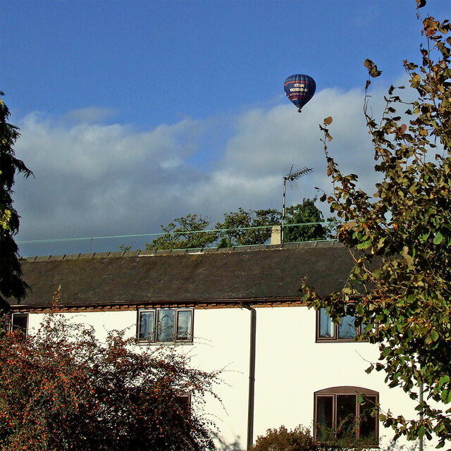
Jewstrump Covert is a serene woodland located in Staffordshire, England. Nestled amidst the picturesque landscape of the county, this forested area is a haven for nature enthusiasts and those seeking tranquility away from the bustling city life.

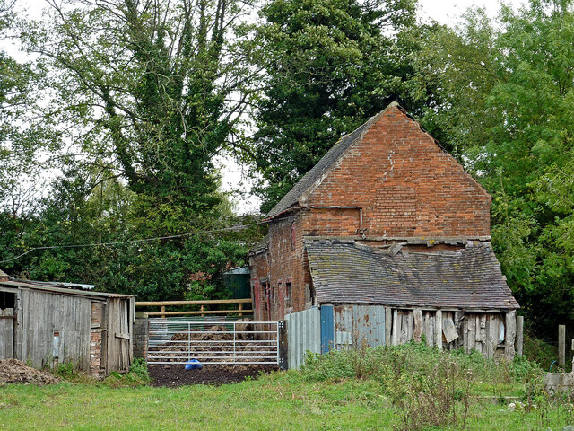
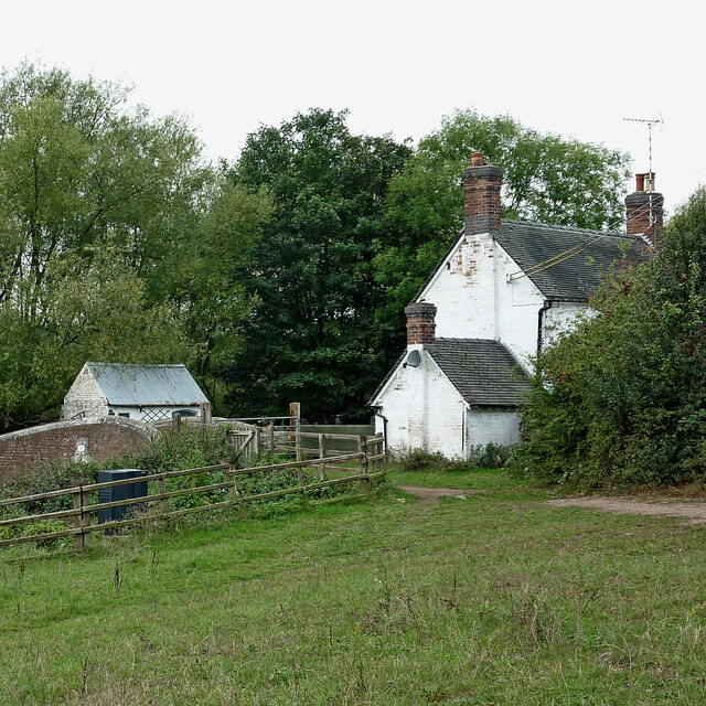
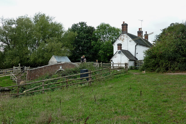
The woodland is characterized by its dense canopy of both deciduous and coniferous trees, creating a lush green cover that changes its hues throughout the seasons. The towering oak, beech, and birch trees dominate the landscape, providing a habitat for a variety of wildlife species.

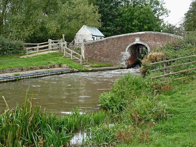
Jewstrump Covert offers a network of well-maintained walking trails, allowing visitors to explore the forest at their own pace. These pathways wind through the woodland, meandering past moss-covered rocks, babbling brooks, and vibrant wildflowers that add bursts of color to the scenery.

The forest is also home to a rich array of wildlife. Birdwatchers can delight in spotting species such as woodpeckers, owls, and various songbirds. Additionally, the forest provides a habitat for small mammals like foxes, badgers, and rabbits, as well as reptiles and amphibians.

Visitors to Jewstrump Covert can immerse themselves in the tranquility of nature, relax in the shade of the trees, or enjoy a picnic in one of the designated areas. The forest is a popular spot for nature photography, providing ample opportunities to capture stunning shots of the flora and fauna.

Overall, Jewstrump Covert in Staffordshire is a captivating woodland that offers an escape into nature's embrace, beckoning visitors with its beauty, serenity, and abundance of wildlife.

If you have any feedback on the listing, please let us know in the comments section below.

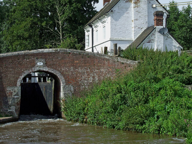
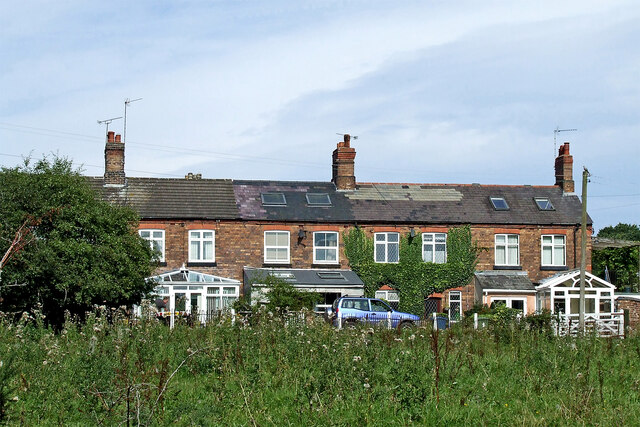
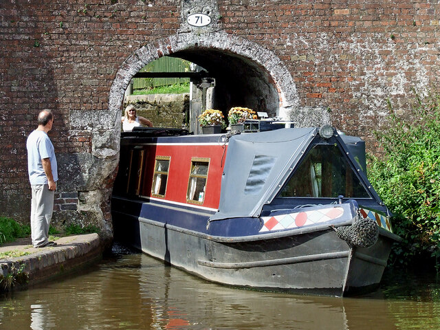
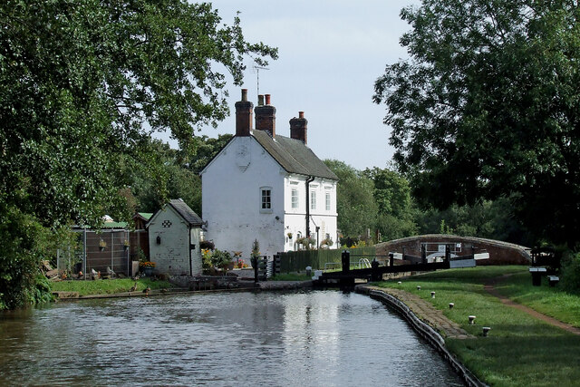
Jewstrump Covert Images

Images are sourced within 2km of 52.803987/-1.9899454 or Grid Reference SK0022. Thanks to Geograph Open Source API. All images are credited.

Pasture and housing near Little Haywood in Staffordshire Looking north-north-east from the Trent and Mersey Canal, across the railway, towards Haywood House and other buildings in Main Road.
Pasture and housing near Little Haywood in Staffordshire
Looking north-north-east from the Trent and Mersey Canal, across the railway, towards Haywood House and other buildings in Main Road.
Pasture and housing near Little Haywood in Staffordshire Looking north from the Trent and Mersey Canal, across the railway, towards Haywood House and other buildings in Main Road.
Pasture and housing near Little Haywood in Staffordshire
Looking north from the Trent and Mersey Canal, across the railway, towards Haywood House and other buildings in Main Road.
Lock Cottage with balloon Looking north from Colwich Lock, Little Haywood, in Staffordshire
Lock Cottage with balloon
Looking north from Colwich Lock, Little Haywood, in Staffordshire
Railway gantry near Little Haywood in Staffordshire Looking north from the canal towpath. The house is in Hawkesmore Drive. The railway line is between Rugeley and Stone.
Railway gantry near Little Haywood in Staffordshire
Looking north from the canal towpath. The house is in Hawkesmore Drive. The railway line is between Rugeley and Stone.
Meadow Lane in Little Haywood, Staffordshire Looking north-east towards Main Road from near the canal bridge.
Meadow Lane in Little Haywood, Staffordshire
Looking north-east towards Main Road from near the canal bridge.
The Red Lion in Little Haywood, Staffordshire A friendly Marston's pub on Main Road in the village.
The Red Lion in Little Haywood, Staffordshire
A friendly Marston's pub on Main Road in the village.
The Lamb and Flag in Little Haywood, Staffordshire This pub is in Main Road at the junction with Meadow Lane.
The Lamb and Flag in Little Haywood, Staffordshire
This pub is in Main Road at the junction with Meadow Lane.
Milestone in Little Haywood, Staffordshire This is in Main Road opposite the Lamb and Flag public house.
Milestone in Little Haywood, Staffordshire
This is in Main Road opposite the Lamb and Flag public house.
Canalside barns in Colwich, Staffordshire Seen from the towpath of the Trent and Mersey Canal.
Canalside barns in Colwich, Staffordshire
Seen from the towpath of the Trent and Mersey Canal.
Old barn in Colwich, Staffordshire Seen from the towpath of the Trent and Mersey Canal.
Old barn in Colwich, Staffordshire
Seen from the towpath of the Trent and Mersey Canal.
Barn with dilapidated shed in Colwich, Staffordshire Seen from the towpath of the Trent and Mersey Canal.
Barn with dilapidated shed in Colwich, Staffordshire
Seen from the towpath of the Trent and Mersey Canal.
Cottage by Colwich Lock in Staffordshire Colwich Lock (No 21) is on the Trent and Mersey Canal near Little Haywood. A public footpath crosses the bridge here.
Cottage by Colwich Lock in Staffordshire
Colwich Lock (No 21) is on the Trent and Mersey Canal near Little Haywood. A public footpath crosses the bridge here.
Cottage and canal bridge near Colwich in Staffordshire Colwich Lock (No 21) is on the Trent and Mersey Canal near Little Haywood. A public footpath crosses the bridge here.
Cottage and canal bridge near Colwich in Staffordshire
Colwich Lock (No 21) is on the Trent and Mersey Canal near Little Haywood. A public footpath crosses the bridge here.
Colwich Bridge near Little Haywood in Staffordshire Bridge No 72 across the Trent and Mersey Canal is immediately below Colwich Lock.
Notice the turbulence in the water below the bridge. The lock paddles have bee raised, and water is gushing through. A narrowboat will emerge very soon.

<a href="https://www.geograph.org.uk/photo/2662653">SK0021 : Colwich Bridge near Little Haywood in Staffordshire</a>

The Trent and Mersey Canal is 93.5 miles in length from Derwent Mouth to Preston Brook. The first sod was cut by Josiah Wedgwood in July 1766 at Middleport (Stoke-on-Trent). The eastern section between Derwent Mouth and Shugborough (the junction with the Staffordshire and Worcestershire Canal) was already operational by 1770 and the whole canal through to Preston Brook, where it linked with the Bridgewater Canal was open for business by 1777. James Brindley was the engineer until his death in 1772.
Colwich Bridge near Little Haywood in Staffordshire
Bridge No 72 across the Trent and Mersey Canal is immediately below Colwich Lock. Notice the turbulence in the water below the bridge. The lock paddles have bee raised, and water is gushing through. A narrowboat will emerge very soon. SK0021 : Colwich Bridge near Little Haywood in Staffordshire The Trent and Mersey Canal is 93.5 miles in length from Derwent Mouth to Preston Brook. The first sod was cut by Josiah Wedgwood in July 1766 at Middleport (Stoke-on-Trent). The eastern section between Derwent Mouth and Shugborough (the junction with the Staffordshire and Worcestershire Canal) was already operational by 1770 and the whole canal through to Preston Brook, where it linked with the Bridgewater Canal was open for business by 1777. James Brindley was the engineer until his death in 1772.
Colwich Lock and Bridge in Staffordshire Colwich Bridge is No 71 across the Trent and Mersey Canal. It carries a farm track and public footpath. The Lock is No 21 and provides a rise (or fall) of 6ft 6in (two metres).
There is turbulence below the bridge because the paddles have been raised to drain the lock. An approaching boat is in the lock, and a boat is waiting to use it.
Colwich Lock and Bridge in Staffordshire
Colwich Bridge is No 71 across the Trent and Mersey Canal. It carries a farm track and public footpath. The Lock is No 21 and provides a rise (or fall) of 6ft 6in (two metres). There is turbulence below the bridge because the paddles have been raised to drain the lock. An approaching boat is in the lock, and a boat is waiting to use it.
Terraced cottages in Little Haywood, Staffordshire The cottages are by Main Street, and are seen here from the canal below Colwich Lock.
Terraced cottages in Little Haywood, Staffordshire
The cottages are by Main Street, and are seen here from the canal below Colwich Lock.
Narrowboat leaving Colwich Lock in Staffordshire Colwich Bridge is No 71 across the Trent and Mersey Canal near Little Haywood. It carries a farm track and public footpath. The Lock is No 21 and provides a rise (or fall) of 6ft 6in (two metres).
'Just Heaven' is leaving the lock very carefully.
Narrowboat leaving Colwich Lock in Staffordshire
Colwich Bridge is No 71 across the Trent and Mersey Canal near Little Haywood. It carries a farm track and public footpath. The Lock is No 21 and provides a rise (or fall) of 6ft 6in (two metres). 'Just Heaven' is leaving the lock very carefully.
Canal at Colwich Lock in Staffordshire Looking south-east towards Rugeley, this is the Trent and Mersey Canal at Colwich Lock (No 21) and Colwich Lock Bridge (No 71).
Canal at Colwich Lock in Staffordshire
Looking south-east towards Rugeley, this is the Trent and Mersey Canal at Colwich Lock (No 21) and Colwich Lock Bridge (No 71).
Show me another place!

Jewstrump Covert is located at Grid Ref: SK0022 (Lat: 52.803987, Lng: -1.9899454)

Administrative County: Staffordshire

District: Stafford

Police Authority: Staffordshire

What 3 Words

///flap.grumbling.foods. Near Great Haywood, Staffordshire

Related Wikis

Great Haywood

Great Haywood is a village in central Staffordshire, England, just off the A51 and about 4.5 miles (7.2 km) northwest of Rugeley and 7.1 miles (11.4 km...

Great Haywood railway station

Great Haywood railway station is a disused railway station in Staffordshire, England. The railway line between Stone and Colwich, England, was opened by...

Black country ring

The Black Country Ring is a UK canal ring composed of the Staffordshire and Worcestershire Canal, Birmingham Main Line, Birmingham and Fazeley Canal, Coventry...
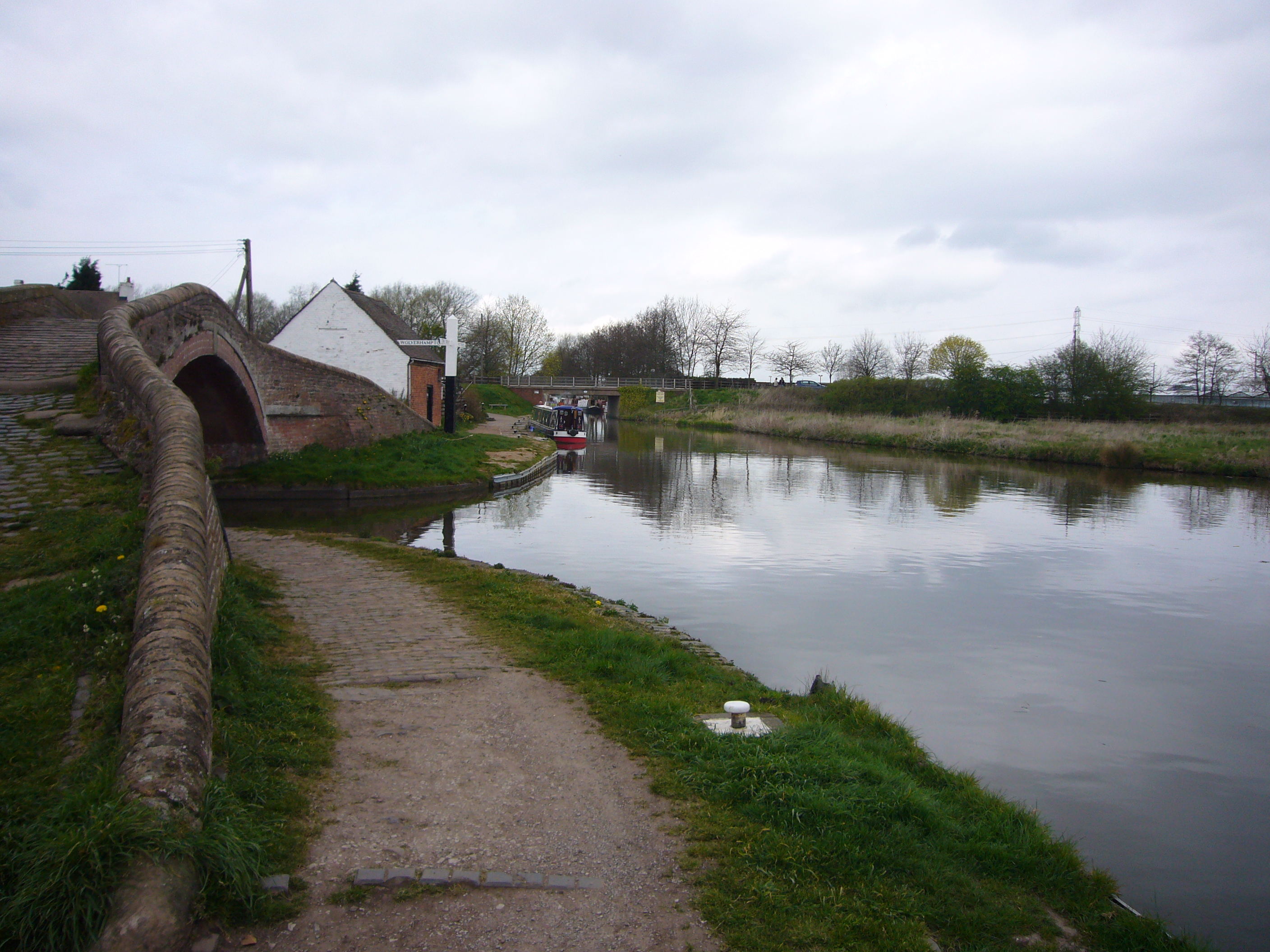
Haywood Junction

Haywood Junction (grid reference SJ994229), or Great Haywood Junction, is the name of the canal junction where the Staffordshire and Worcestershire Canal...

Essex Bridge, Staffordshire

Essex Bridge (grid reference SJ995225) is a Grade I listed packhorse bridge over the River Trent near Great Haywood, Staffordshire, England. Spanning the...

River Sow

The River Sow is a tributary of the River Trent in Staffordshire, England, and is the river that flows through Stafford. == Course == The river rises...

Little Haywood

Little Haywood is a village in Staffordshire, England. For population details as taken at the 2011 census see under Colwich. It lies beside a main arterial...

Shugborough inscription

The Shugborough Inscription is a sequence of letters – O U O S V A V V, between the letters D M on a lower plane – carved on the 18th-century Shepherd...

Nearby Amenities

Located within 500m of 52.803987,-1.9899454
Power: tower
Source: Bing
Lat/Long: 52.802891/-1.9828281
Power: tower
Source: Bing
Lat/Long: 52.8044412/-1.9886538
Power: tower
Source: Bing
Lat/Long: 52.8058032/-1.9938144
Noexit: yes
Lat/Long: 52.8027955/-1.997024
The data included in this document is from www.openstreetmap.org. The data is made available under ODbL.

Have you been to Jewstrump Covert?

Leave your review of Jewstrump Covert below (or comments, questions and feedback).