Haywood, Great
Settlement in Staffordshire Stafford
England
Haywood, Great

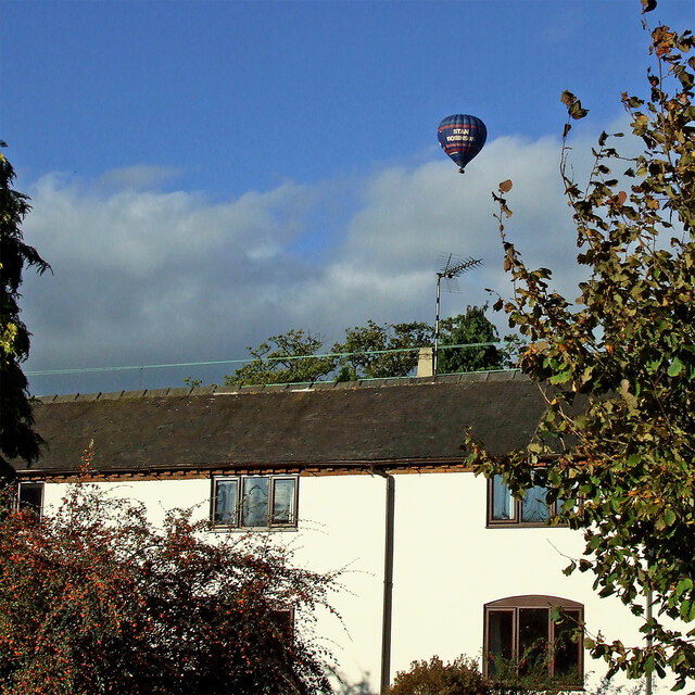
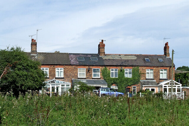
Haywood is a small rural village located in the county of Staffordshire, England. It is part of the larger parish of Great Haywood and is situated approximately 7 miles east of Stafford, the county town. With a population of around 1,500 residents, Haywood retains its quaint charm and close-knit community atmosphere.
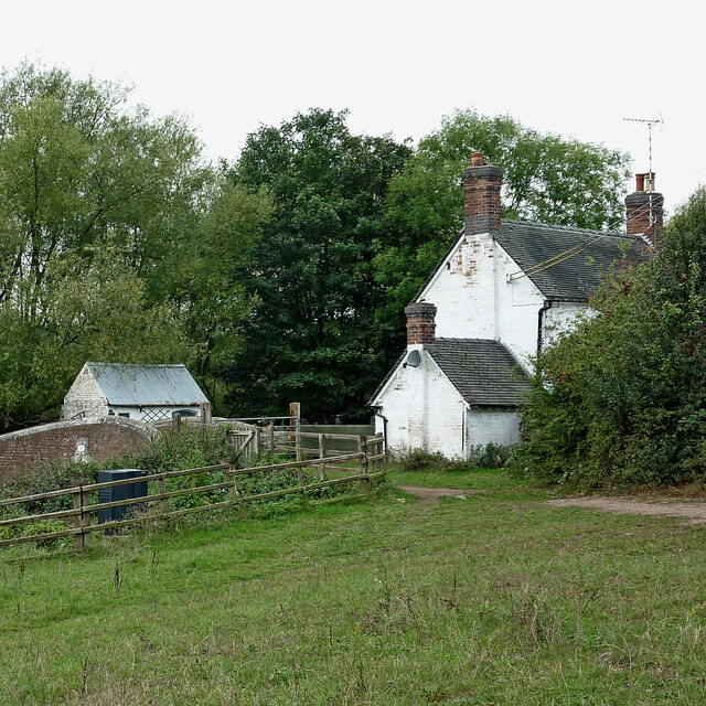
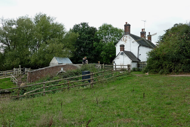
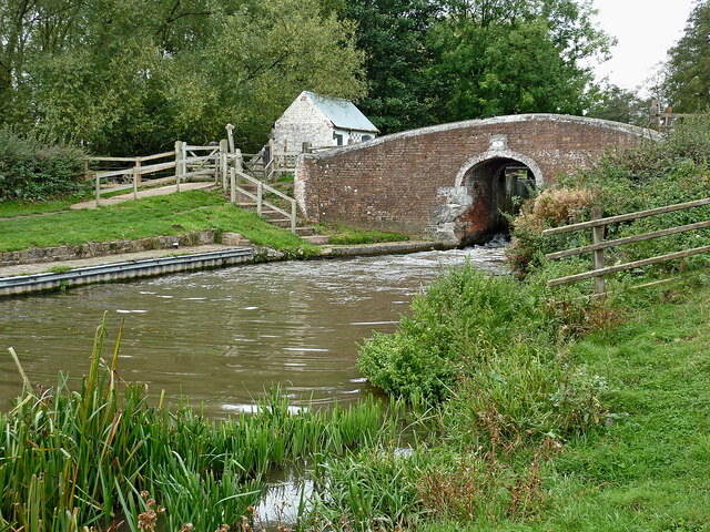
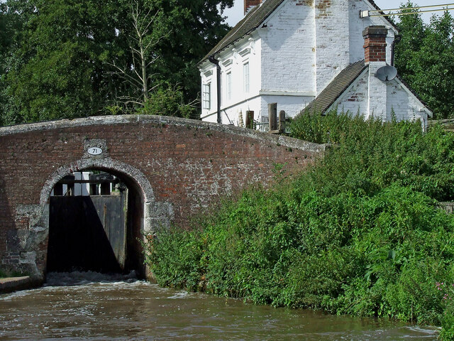
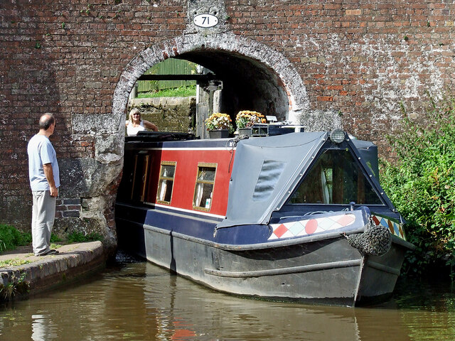
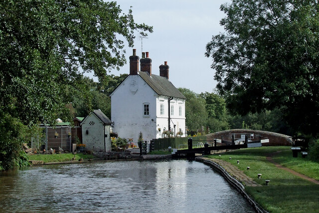
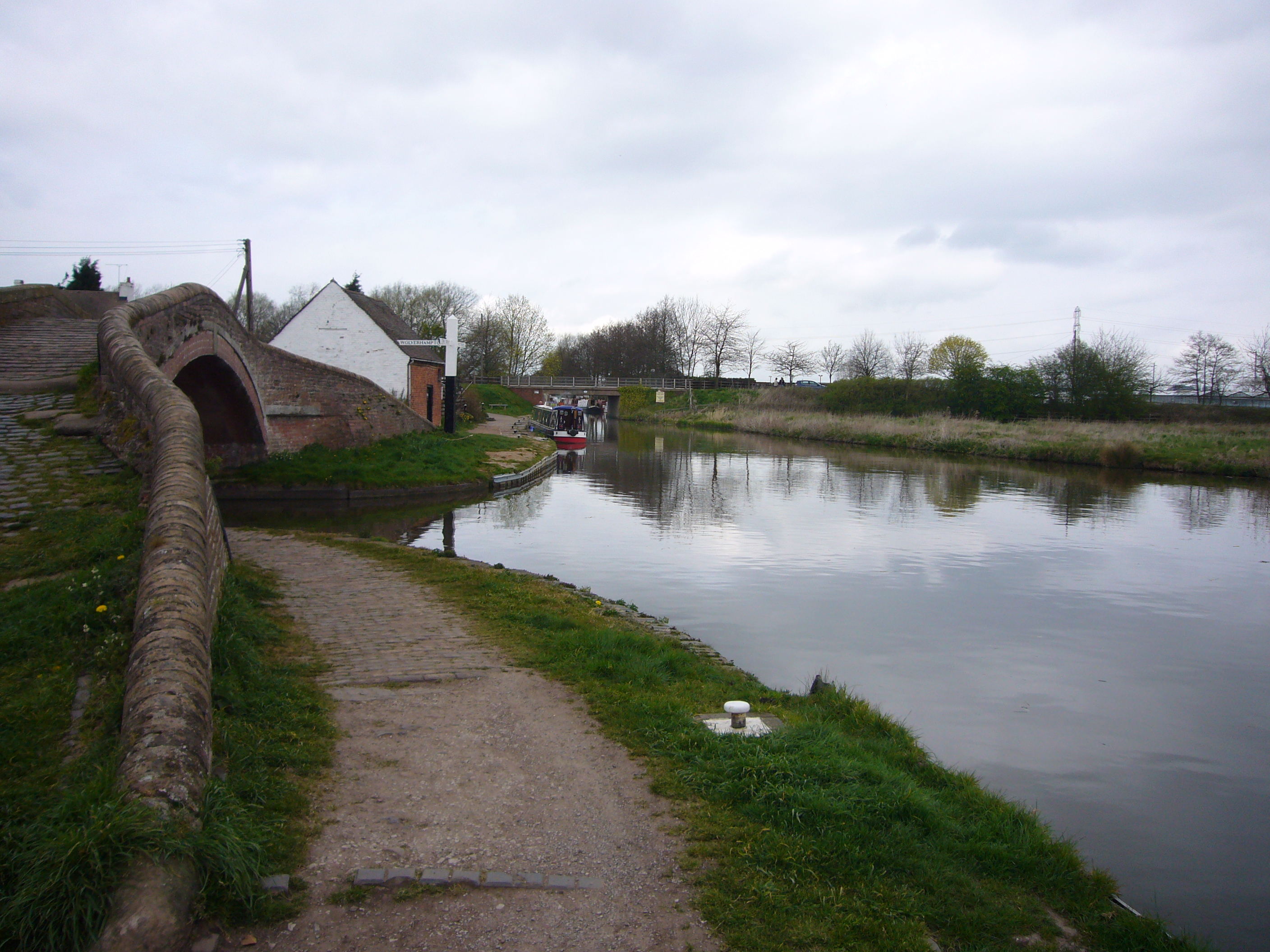
The village is set amidst picturesque countryside, with the River Trent flowing nearby, offering stunning views and tranquil surroundings. Haywood is renowned for its natural beauty and attracts visitors who enjoy outdoor activities such as walking, cycling, and fishing. It is also home to the Great Haywood Marina, which serves as a popular starting point for boating trips along the Trent and Mersey Canal.
Despite its small size, Haywood provides essential amenities to its residents. These include a primary school, a post office, a convenience store, and a few local shops and businesses. The village also has a community center, which hosts various events and activities throughout the year, fostering a strong sense of community spirit.
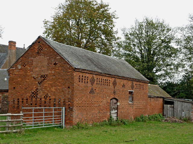
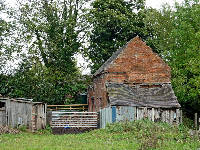
Historically, Haywood was an important agricultural center, and remnants of its farming past can still be seen today. The village boasts several well-preserved farmhouses and barns, adding to its rustic charm. Additionally, the Shugborough Estate, a magnificent stately home and parkland, lies just south of Haywood and is a popular tourist attraction.
Overall, Haywood offers a peaceful and idyllic rural setting, making it an attractive place to live for those seeking a slower pace of life and a strong sense of community.
If you have any feedback on the listing, please let us know in the comments section below.
Haywood, Great Images
Images are sourced within 2km of 52.795541/-2.001451 or Grid Reference SK0022. Thanks to Geograph Open Source API. All images are credited.


Haywood, Great is located at Grid Ref: SK0022 (Lat: 52.795541, Lng: -2.001451)
Administrative County: Staffordshire
District: Stafford
Police Authority: Staffordshire
What 3 Words
///cute.motivates.stretch. Near Great Haywood, Staffordshire
Nearby Locations
Related Wikis
Great Haywood
Great Haywood is a village in central Staffordshire, England, just off the A51 and about 4.5 miles (7.2 km) northwest of Rugeley and 7.1 miles (11.4 km...

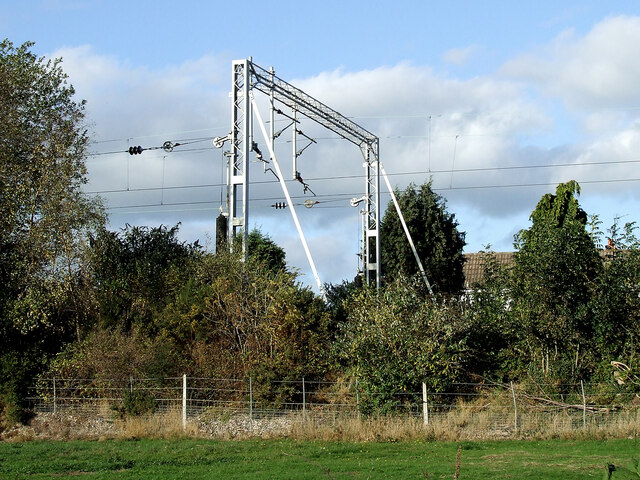
Great Haywood railway station
Great Haywood railway station is a disused railway station in Staffordshire, England. The railway line between Stone and Colwich, England, was opened by...

Essex Bridge, Staffordshire
Essex Bridge (grid reference SJ995225) is a Grade I listed packhorse bridge over the River Trent near Great Haywood, Staffordshire, England. Spanning the...

River Sow
The River Sow is a tributary of the River Trent in Staffordshire, England, and is the river that flows through Stafford. == Course == The river rises...

Little Haywood
Little Haywood is a village in Staffordshire, England. For population details as taken at the 2011 census see under Colwich. It lies beside a main arterial...

Shugborough Hall
Shugborough Hall is a stately home near Great Haywood, Staffordshire, England. The hall is situated on the edge of Cannock Chase, about 5.8 miles (9.3...
Staffordshire County Museum
Staffordshire County Museum is housed in the Servants' Quarters of Shugborough Hall, Milford, near Stafford, Staffordshire, England. The museum features...
Shugborough inscription
The Shugborough Inscription is a sequence of letters – O U O S V A V V, between the letters D M on a lower plane – carved on the 18th-century Shepherd...
Nearby Amenities
Located within 500m of 52.795541,-2.001451Have you been to Haywood, Great?
Leave your review of Haywood, Great below (or comments, questions and feedback).