Craycombe Hill

Hill, Mountain in Worcestershire Wychavon

England

Craycombe Hill

A44 near Wood Norton
A44 near Wood Norton Credit: Peter Whatley

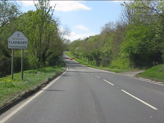
Craycombe Hill is a prominent natural landmark located in Worcestershire, England. Standing at an elevation of approximately 251 meters (823 feet), it is classified as a hill rather than a mountain. The hill is situated in the picturesque Vale of Evesham, near the village of Fladbury.

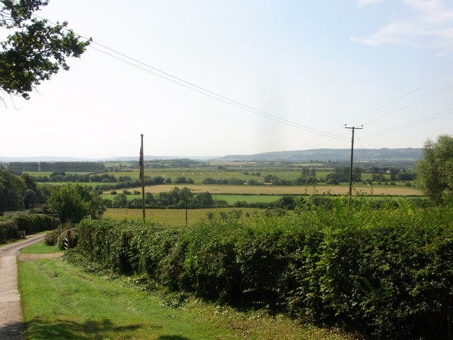
Craycombe Hill offers breathtaking panoramic views of the surrounding countryside. From its summit, visitors can observe the patchwork of lush green fields, meandering rivers, and quaint villages that make up the Worcestershire landscape. On a clear day, it is even possible to catch a glimpse of the Malvern Hills in the distance.

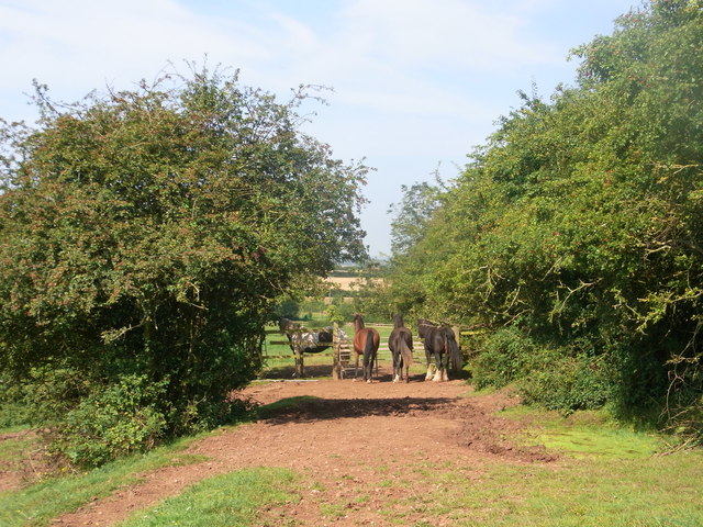
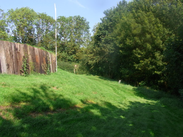
The hill is characterized by its gentle slopes and is covered in a variety of vegetation, including grasses, wildflowers, and scattered trees. This creates a rich habitat for a diverse range of wildlife, making it a popular spot for nature enthusiasts and birdwatchers.

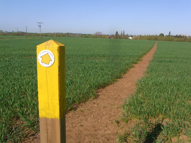
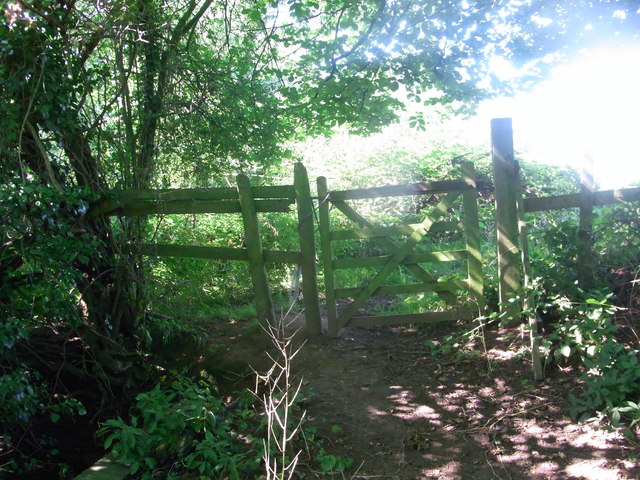
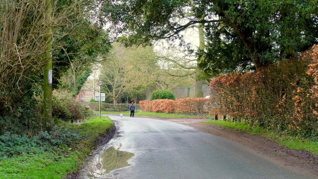
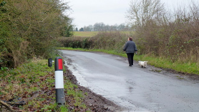
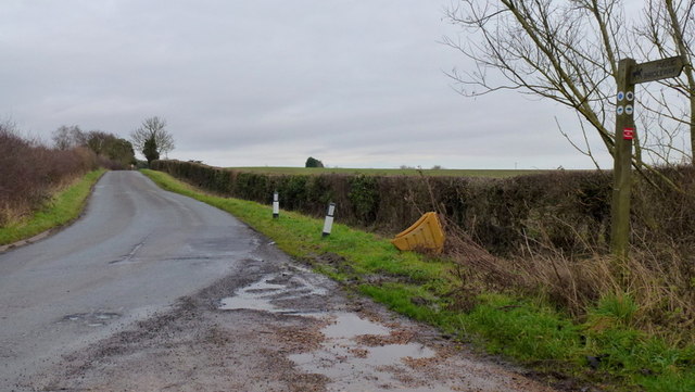
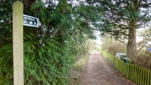
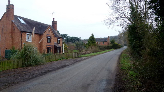
Access to Craycombe Hill is relatively easy, with a footpath leading from the nearby village of Fladbury. The path takes visitors through peaceful countryside scenery, passing by fields and hedgerows before reaching the hill's summit.

Due to its natural beauty and historical significance, Craycombe Hill is also a site of archaeological interest. Excavations have revealed the presence of prehistoric burial mounds, indicating that the hill has been a place of importance for thousands of years.

In summary, Craycombe Hill is a picturesque hill in Worcestershire, offering stunning views, abundant wildlife, and a glimpse into the region's rich history. It is a popular destination for both locals and tourists seeking a peaceful escape in nature.

If you have any feedback on the listing, please let us know in the comments section below.

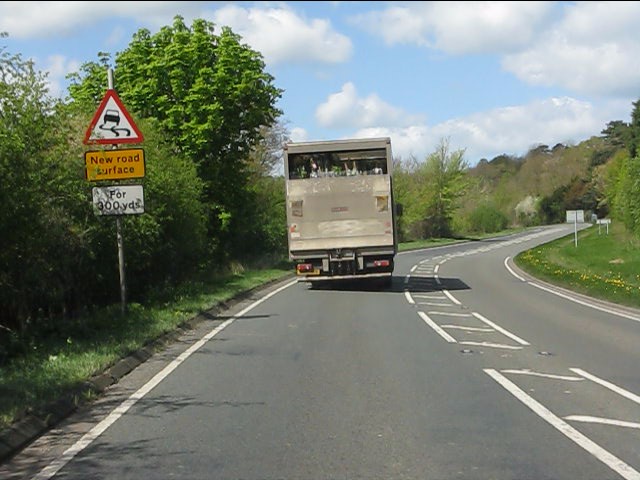
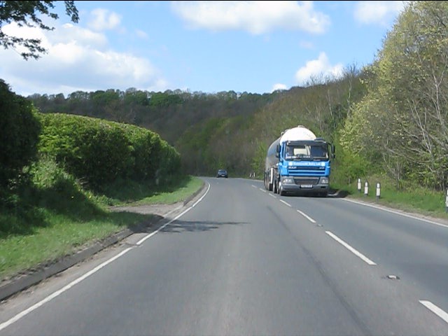
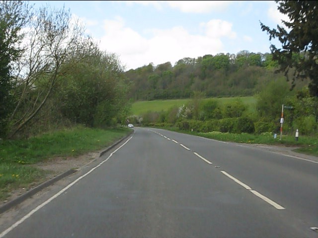
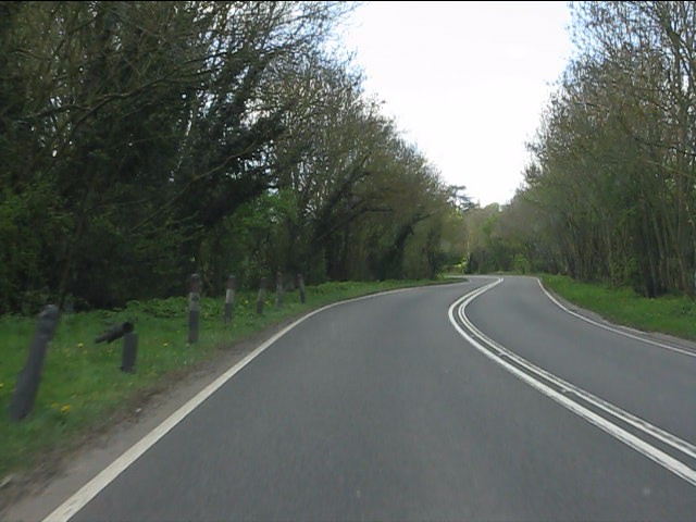
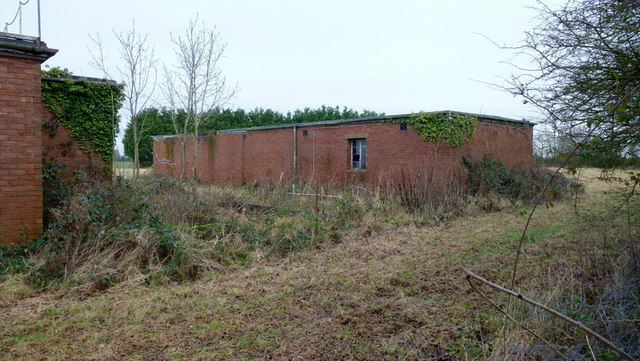
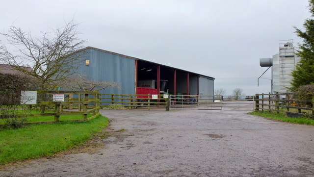
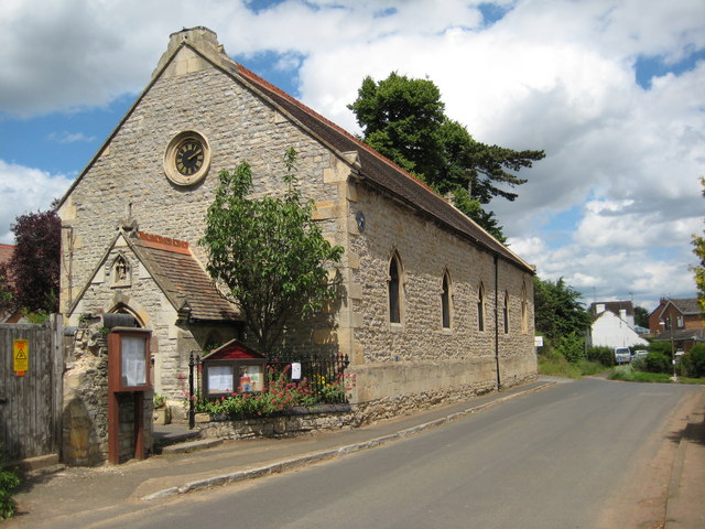
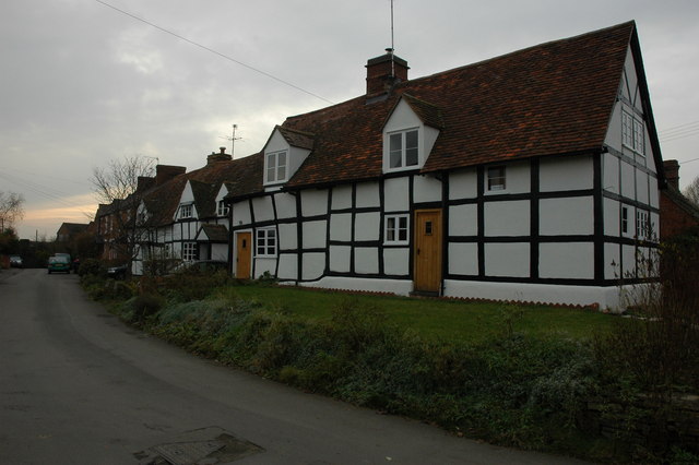
Craycombe Hill Images

Images are sourced within 2km of 52.130035/-1.9883115 or Grid Reference SP0047. Thanks to Geograph Open Source API. All images are credited.

A44 near Wood Norton
A44 west of Wood Norton
A44 at the access to Craycombe Hill
A44 south of Craycombe Hill
A44 entering Fladbury
Through the crop towards Fladbury
Guardians of the gate Bridleway through the farm, no waymarks at all.
Guardians of the gate
Bridleway through the farm, no waymarks at all.
Bridleway gate almost hidden under the trees Right-of-way very little used and poorly marked (not at all).
Bridleway gate almost hidden under the trees
Right-of-way very little used and poorly marked (not at all).
Wychavon Way below Highclere View to the south with Bredon Hill in the distance.
Wychavon Way below Highclere
View to the south with Bredon Hill in the distance.
Footpath on the edge of Evesham Golf Course Former line of the Wychavon Way, now diverted further north via Machine Farm and Hill so avoiding having to walk a section alongside the busy A44.
Footpath on the edge of Evesham Golf Course
Former line of the Wychavon Way, now diverted further north via Machine Farm and Hill so avoiding having to walk a section alongside the busy A44.
Sheriff's Lench Lady and dog out for a walk on a mild January afternoon.
Sheriff's Lench
Lady and dog out for a walk on a mild January afternoon.
Disused property, Sheriff's Lench, 1 The disused buildings are north of the hamlet.
Disused property, Sheriff's Lench, 1
The disused buildings are north of the hamlet.
Disused property, Sheriff's Lench, 2 The disused buildings are north of the hamlet.
Possibly Ministry of Defence?
Disused property, Sheriff's Lench, 2
The disused buildings are north of the hamlet. Possibly Ministry of Defence?
Manor Farm, Sheriff's Lench Modern buildings; clean and tidy.
Manor Farm, Sheriff's Lench
Modern buildings; clean and tidy.
Walking the dog The same lady and canine as in <a href="https://www.geograph.org.uk/photo/3280561">SP0149 : Sheriff's Lench</a> proceeding west along the lane towards Badger's Hill.
Walking the dog
The same lady and canine as in SP0149 : Sheriff's Lench proceeding west along the lane towards Badger's Hill.
Road to The Lenches The bridleway heading back over my right shoulder takes the public directly to the Evesham Road at Woodnorton Farm
Road to The Lenches
The bridleway heading back over my right shoulder takes the public directly to the Evesham Road at Woodnorton Farm
Bridleway at Hill Furze Heading north.
Bridleway at Hill Furze
Heading north.
Hill Furze Hamlet tucked into a fold of hills in East Worcestershire.
Hill Furze
Hamlet tucked into a fold of hills in East Worcestershire.
Show me another place!

Craycombe Hill is located at Grid Ref: SP0047 (Lat: 52.130035, Lng: -1.9883115)

Administrative County: Worcestershire

District: Wychavon

Police Authority: West Mercia

What 3 Words

///stated.educated.elated. Near Harvington, Worcestershire

Related Wikis

Norton and Lenchwick

Norton and Lenchwick is a civil parish in the Wychavon district, in the county of Worcestershire, England. The parish population in 2021 was 1,056. The...

Wood Norton Hall

Wood Norton Hall is a Grade II* listed Victorian stately home to the northwest of Evesham, Worcestershire, England. It was the last home in England of...

Fladbury railway station

Fladbury railway station was a station in Fladbury, Worcestershire, England. The station was opened in 1854 and closed in 1966. == References == ��2�...

Fladbury

Fladbury is a traditional English village located in rural Worcestershire, England. The village was mentioned in the Domesday Book, almost 1,000 years...

Charlton, Worcestershire

Charlton is a village in the Wychavon district of the county of Worcestershire, England. During the 2007 United Kingdom floods, many homes were affected...

Ab Lench

Ab Lench is a village and former civil parish, now in the parish of South Lenches, in the Wychavon district, in the county of Worcestershire, England...

Hill and Moor

Hill and Moor is a civil parish in the Wychavon district of Worcestershire, England. It includes the village Lower Moor and the hamlets of Upper Moor...

Lower Moor

Lower Moor is a village between Wyre Piddle and Fladbury in the district of Wychavon in Worcestershire, England.

Nearby Amenities

Located within 500m of 52.130035,-1.9883115
Barrier: kissing_gate
Foot: yes
Lat/Long: 52.1278502/-1.9854553
Bench
Material: wood
Source: survey
Lat/Long: 52.1276139/-1.987241
Power: pole
Lat/Long: 52.1312959/-1.9818538
Power: pole
Lat/Long: 52.1309749/-1.983339
Power: pole
Lat/Long: 52.1308333/-1.9839854
Power: pole
Lat/Long: 52.1302057/-1.9845897
Sparrows Nest
Power: pole
Transformer: distribution
Voltage Primary: 11000
Lat/Long: 52.1294456/-1.9853823
Power: pole
Lat/Long: 52.1288813/-1.9856809
Power: pole
Lat/Long: 52.1283899/-1.9857372
Power: pole
Lat/Long: 52.1278889/-1.9857825
Power: pole
Lat/Long: 52.1262678/-1.9854128
Power: pole
Lat/Long: 52.1268091/-1.9855339
Power: pole
Lat/Long: 52.1273495/-1.9856543
Power: pole
Lat/Long: 52.1272516/-1.9863657
Power: pole
Lat/Long: 52.1271614/-1.9870238
Power: pole
Lat/Long: 52.1270357/-1.9879103
Power: pole
Lat/Long: 52.1269272/-1.9886685
Power: pole
Lat/Long: 52.1267631/-1.9898441
Power: pole
Lat/Long: 52.1266738/-1.9904601
Power: pole
Lat/Long: 52.12655/-1.9913418
Power: pole
Lat/Long: 52.12643/-1.9922064
The data included in this document is from www.openstreetmap.org. The data is made available under ODbL.

Have you been to Craycombe Hill?

Leave your review of Craycombe Hill below (or comments, questions and feedback).