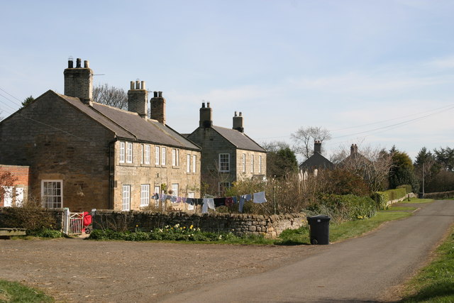
March Plantation

Wood, Forest in Northumberland

England

March Plantation

Public Bridleway near Prendwick This Public Bridleway initially leads from Prendwick to the cottage of Northfieldhead. Thereafter, it quickly links up with the ancient cross-border track of the Salter's Road. For a selection of detailed free to download walking routes in the area visit <span class="nowrap"><a title="www.cheviotwalks.co.uk" rel="nofollow ugc noopener" href="http://www.cheviotwalks.co.uk">Link</a><img style="margin-left:2px;" alt="External link" title="External link - shift click to open in new window" src="https://s1.geograph.org.uk/img/external.png" width="10" height="10"/></span>
Public Bridleway near Prendwick Credit: Geoff Holland

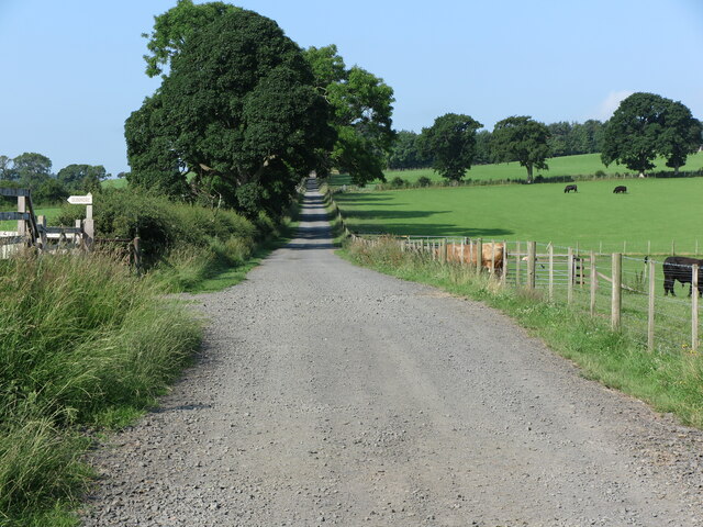
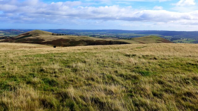
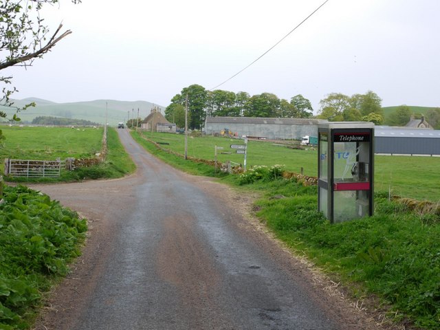
March Plantation is a picturesque woodland located in Northumberland, England. It covers an area of approximately 200 acres and is known for its diverse range of trees and wildlife. The plantation is situated in the heart of the Northumberland National Park, offering visitors a tranquil and scenic escape from the hustle and bustle of city life.

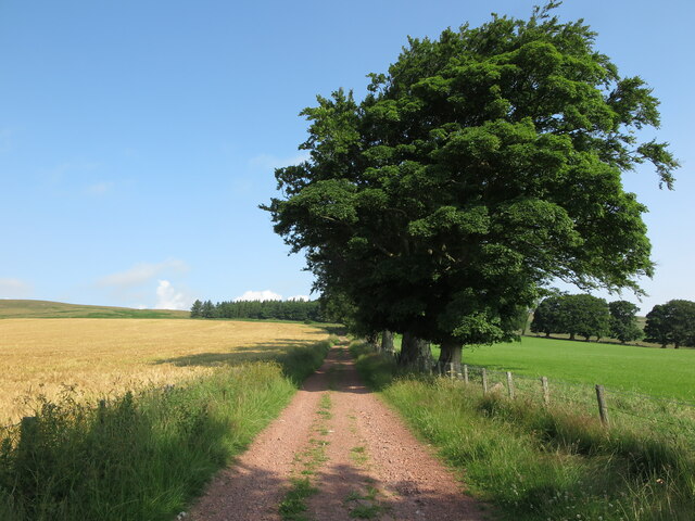
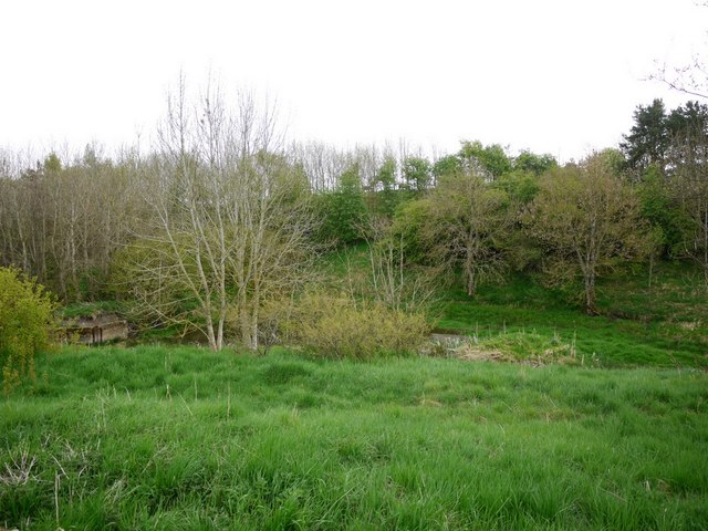
The woodland is primarily composed of native tree species such as oak, beech, and birch, which create a lush and vibrant canopy. These trees provide a haven for a wide variety of bird species, including woodpeckers, owls, and songbirds. Additionally, the plantation is home to several small mammals, including squirrels and rabbits, which can often be spotted darting amongst the undergrowth.

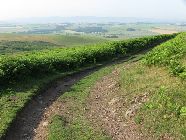
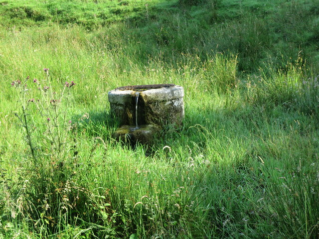
March Plantation boasts a network of well-maintained walking trails that meander through the woodland, allowing visitors to explore the area at their own pace. These paths lead to various points of interest, including a picturesque pond, where visitors can stop and admire the tranquil surroundings. The plantation also offers designated picnic areas, making it an ideal spot for a family day out.

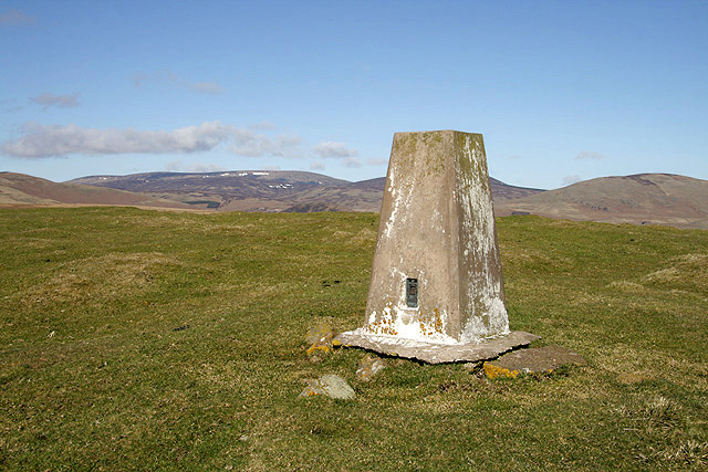
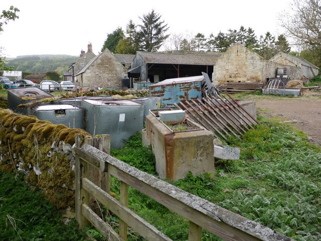
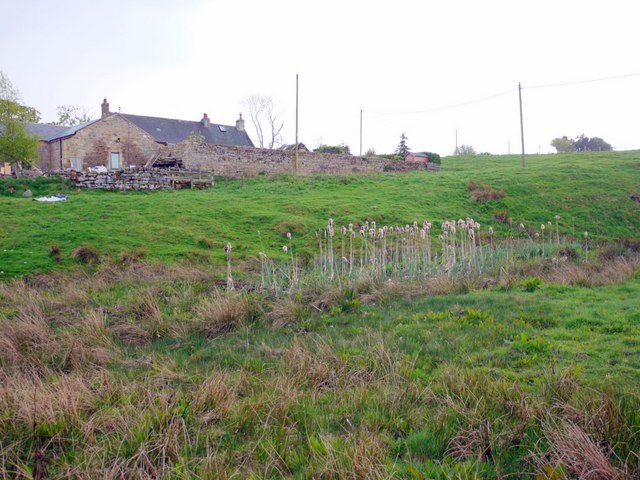
In addition to its natural beauty, March Plantation is also of historical significance. The woodland was once part of a larger estate and has remnants of old stone walls and boundaries that date back centuries. These historical features add a sense of charm and intrigue to the woodland, allowing visitors to connect with the past while enjoying the natural beauty of the present.

Overall, March Plantation in Northumberland offers a peaceful retreat for nature lovers and history enthusiasts alike. Its diverse range of trees, wildlife, and historical features make it a must-visit destination for anyone seeking a tranquil escape in the heart of the English countryside.

If you have any feedback on the listing, please let us know in the comments section below.

March Plantation Images

Images are sourced within 2km of 55.404142/-1.9909236 or Grid Reference NU0012. Thanks to Geograph Open Source API. All images are credited.
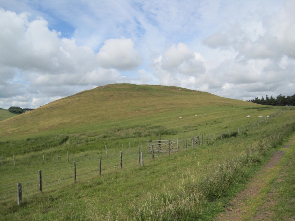
Public Bridleway near Prendwick This Public Bridleway initially leads from Prendwick to the cottage of Northfieldhead. Thereafter, it quickly links up with the ancient cross-border track of the Salter's Road. For a selection of detailed free to download walking routes in the area visit <span class="nowrap"><a title="www.cheviotwalks.co.uk" rel="nofollow ugc noopener" href="http://www.cheviotwalks.co.uk">Link</a><img style="margin-left:2px;" alt="External link" title="External link - shift click to open in new window" src="https://s1.geograph.org.uk/img/external.png" width="10" height="10"/></span>
Public Bridleway near Prendwick
This Public Bridleway initially leads from Prendwick to the cottage of Northfieldhead. Thereafter, it quickly links up with the ancient cross-border track of the Salter's Road. For a selection of detailed free to download walking routes in the area visit LinkExternal link
Shepherd's Hut near Prendwick This shepherd's hut is one of a few such huts dotted alongside the Public Bridleway between Prendwick and Northfieldhead, all of a different design, which are marketed for holiday letting under the name, 'Huts in the Hills' <span class="nowrap"><a title="https://www.hutsinthehills.co.uk/" rel="nofollow ugc noopener" href="https://www.hutsinthehills.co.uk/">Link</a><img style="margin-left:2px;" alt="External link" title="External link - shift click to open in new window" src="https://s1.geograph.org.uk/img/external.png" width="10" height="10"/></span>. This particular one, which enjoys fantastic views over Whittingham Vale, is called 'Hedgehope'. For a selection of detailed free to download walking routes in the area visit <span class="nowrap"><a title="www.cheviotwalks.co.uk" rel="nofollow ugc noopener" href="http://www.cheviotwalks.co.uk">Link</a><img style="margin-left:2px;" alt="External link" title="External link - shift click to open in new window" src="https://s1.geograph.org.uk/img/external.png" width="10" height="10"/></span>
Shepherd's Hut near Prendwick
This shepherd's hut is one of a few such huts dotted alongside the Public Bridleway between Prendwick and Northfieldhead, all of a different design, which are marketed for holiday letting under the name, 'Huts in the Hills' LinkExternal link. This particular one, which enjoys fantastic views over Whittingham Vale, is called 'Hedgehope'. For a selection of detailed free to download walking routes in the area visit LinkExternal link
Public Bridleway near Northfieldhead This Public Bridleway opens up a vast array of walking opportunities in the Cheviot Hills along the southern edge of the Northumberland National Park. For a selection of detailed free to download walking routes in the area visit <span class="nowrap"><a title="www.cheviotwalks.co.uk" rel="nofollow ugc noopener" href="http://www.cheviotwalks.co.uk">Link</a><img style="margin-left:2px;" alt="External link" title="External link - shift click to open in new window" src="https://s1.geograph.org.uk/img/external.png" width="10" height="10"/></span>
Public Bridleway near Northfieldhead
This Public Bridleway opens up a vast array of walking opportunities in the Cheviot Hills along the southern edge of the Northumberland National Park. For a selection of detailed free to download walking routes in the area visit LinkExternal link
Track from Ingram to Prendwick This track connects the settlement of Ingram in the Breamish Valley with Prendwick and, at this point, offers sublime views over Whittingham Vale. For a selection of detailed free to download walking routes in the area visit <span class="nowrap"><a title="www.cheviotwalks.co.uk" rel="nofollow ugc noopener" href="http://www.cheviotwalks.co.uk">Link</a><img style="margin-left:2px;" alt="External link" title="External link - shift click to open in new window" src="https://s1.geograph.org.uk/img/external.png" width="10" height="10"/></span>
Track from Ingram to Prendwick
This track connects the settlement of Ingram in the Breamish Valley with Prendwick and, at this point, offers sublime views over Whittingham Vale. For a selection of detailed free to download walking routes in the area visit LinkExternal link
Well adjacent to Prendwick Burn This well, which was marked on the first Ordnance Survey Six-Inch map of the area published in 1866, appears to have been over-flowing freely for many years. It continues to be marked on the current Ordnance Survey 1:25000 scale map of the area. For a selection of detailed free to download walking routes in the area visit <span class="nowrap"><a title="www.cheviotwalks.co.uk" rel="nofollow ugc noopener" href="http://www.cheviotwalks.co.uk">Link</a><img style="margin-left:2px;" alt="External link" title="External link - shift click to open in new window" src="https://s1.geograph.org.uk/img/external.png" width="10" height="10"/></span>
Well adjacent to Prendwick Burn
This well, which was marked on the first Ordnance Survey Six-Inch map of the area published in 1866, appears to have been over-flowing freely for many years. It continues to be marked on the current Ordnance Survey 1:25000 scale map of the area. For a selection of detailed free to download walking routes in the area visit LinkExternal link
Signage, Prendwick At this point the minor road takes a sharp turn left whilst a Public Bridleway, signed behind the photographer, continues straight on through the gateway. The Pennine Cycleway, Route 68 on the National Cycle Network, passes this way, as indicated on the signage. This route runs in sections between Derbyshire and Northumberland, and is 265 miles in length. For a selection of detailed free to download walking routes in the area visit <span class="nowrap"><a title="www.cheviotwalks.co.uk" rel="nofollow ugc noopener" href="http://www.cheviotwalks.co.uk">Link</a><img style="margin-left:2px;" alt="External link" title="External link - shift click to open in new window" src="https://s1.geograph.org.uk/img/external.png" width="10" height="10"/></span>
Signage, Prendwick
At this point the minor road takes a sharp turn left whilst a Public Bridleway, signed behind the photographer, continues straight on through the gateway. The Pennine Cycleway, Route 68 on the National Cycle Network, passes this way, as indicated on the signage. This route runs in sections between Derbyshire and Northumberland, and is 265 miles in length. For a selection of detailed free to download walking routes in the area visit LinkExternal link
Post Box, Prendwick This tiny King George V post box is mounted into the exterior wall of a large farm building and lies next to the road signage shown at <a title="https://www.geograph.org.uk/photo/6908755" href="https://www.geograph.org.uk/photo/6908755">Link</a>. For a selection of detailed free to download walking routes in the area visit <span class="nowrap"><a title="www.cheviotwalks.co.uk" rel="nofollow ugc noopener" href="http://www.cheviotwalks.co.uk">Link</a><img style="margin-left:2px;" alt="External link" title="External link - shift click to open in new window" src="https://s1.geograph.org.uk/img/external.png" width="10" height="10"/></span>
Post Box, Prendwick
This tiny King George V post box is mounted into the exterior wall of a large farm building and lies next to the road signage shown at Link. For a selection of detailed free to download walking routes in the area visit LinkExternal link
Looking SE from Cochrane Pike
Earthworks associated with prehistoric settlement "Earthwork remains of a partly enclosed late prehistoric settlement with at least 7 house platforms."

‘Heritage Gateway - Results’. 2012. Heritagegateway.org.uk <<span class="nowrap"><a title="https://www.heritagegateway.org.uk/Gateway/Results_Single.aspx?uid=4f2e2525-4e67-42b6-bada-693f30be9b4c&resourceID=19191" rel="nofollow ugc noopener" href="https://www.heritagegateway.org.uk/Gateway/Results_Single.aspx?uid=4f2e2525-4e67-42b6-bada-693f30be9b4c&resourceID=19191">Link</a><img style="margin-left:2px;" alt="External link" title="External link - shift click to open in new window" src="https://s1.geograph.org.uk/img/external.png" width="10" height="10"/></span> > [accessed 1 November 2022].
Earthworks associated with prehistoric settlement
"Earthwork remains of a partly enclosed late prehistoric settlement with at least 7 house platforms." ‘Heritage Gateway - Results’. 2012. Heritagegateway.org.uk <LinkExternal link > [accessed 1 November 2022].
View to Old Fawdon Hill
The triangulation pillar on Hart Law Trig point S8034 is at 341m in an improved grazing area.
The triangulation pillar on Hart Law
Trig point S8034 is at 341m in an improved grazing area.
Blacksmiths Cottage, Alnham
Pennywells Cottage, Alnham
Castle Farm, Alnham
Castle Farm, Alnham
Road junction, Alnham The farm buildings in the distance are at Alnham House, just visible on the right &lt;a href=&quot;https://www.geograph.org.uk/photo/2218690&quot;&gt;NT9910 : Alnham&lt;/a&gt;. The left hand turn is the road that passes Alnham Church and ends at Ewartly Shank several miles into the hills.
Road junction, Alnham
The farm buildings in the distance are at Alnham House, just visible on the right NT9910 : Alnham. The left hand turn is the road that passes Alnham Church and ends at Ewartly Shank several miles into the hills.
Pennylaws Farm, Alnham
Marsh below Castle Farm
Dammed pond near Alnham This is a dammed body of water that may have provided a source of power to a mill at Castle Farm. The larger and more important farms were provided with their own water mills during the C19th to power various agricultural activities, such as threshing and grinding of corn. The mill at Castle Farm is recorded between 1845 and 1890. The mill race is thought to have been culverted and there is no direct evidence of which building housed the farm mill.
Northumberland National Park Historic Village Atlas Alnham: &lt;span class=&quot;nowrap&quot;&gt;&lt;a title=&quot;http://www.northumberlandnationalpark.org.uk/understanding/historyarchaeology/historicvillageatlas/villageatlasalnham&quot; rel=&quot;nofollow ugc noopener&quot; href=&quot;http://www.northumberlandnationalpark.org.uk/understanding/historyarchaeology/historicvillageatlas/villageatlasalnham&quot;&gt;Link&lt;/a&gt;&lt;img style=&quot;margin-left:2px;&quot; alt=&quot;External link&quot; title=&quot;External link - shift click to open in new window&quot; src=&quot;https://s1.geograph.org.uk/img/external.png&quot; width=&quot;10&quot; height=&quot;10&quot;/&gt;&lt;/span&gt;
Dammed pond near Alnham
This is a dammed body of water that may have provided a source of power to a mill at Castle Farm. The larger and more important farms were provided with their own water mills during the C19th to power various agricultural activities, such as threshing and grinding of corn. The mill at Castle Farm is recorded between 1845 and 1890. The mill race is thought to have been culverted and there is no direct evidence of which building housed the farm mill. Northumberland National Park Historic Village Atlas Alnham: LinkExternal link
Show me another place!

March Plantation is located at Grid Ref: NU0012 (Lat: 55.404142, Lng: -1.9909236)

Unitary Authority: Northumberland

Police Authority: Northumbria

What 3 Words

///notion.paintings.colleague. Near Whittingham, Northumberland
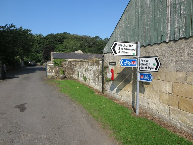
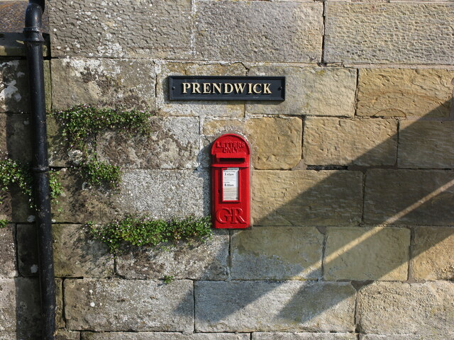
Related Wikis

Unthank, Alnham

Unthank is a hamlet and former civil parish, now in the parish of Alnham in Northumberland, England. In 1951 the parish had a population of 11. == History... ==

Alnham

Alnham is a hamlet and civil parish in Northumberland, England. It is about 14 miles (23 km) west of Alnwick, about 6 miles (9.7 km) from Scotland and...

Church of St Michael, Alnham

The Church of St Michael in Alnham, in the English county of Northumberland, is a medieval structure dating from circa 1200. Built on a Roman camp site...

Milbourne, Northumberland

Milbourne is a village and former civil parish 14 miles (23 km) from Morpeth, now in the parish of Ponteland, in the county of Northumberland, England...

Scrainwood

Scrainwood is a hamlet and former civil parish 20 miles (32 km) from Morpeth, now in the parish of Alnham, in the county of Northumberland, England. In...

Eslington Park

Eslington Park is a privately owned 18th-century mansion house west of Whittingham, Northumberland, near the River Aln. It is the family seat of Lord...

Yetlington

Yetlington is a village in the civil parish of Callaly, in the county of Northumberland, England. Yetlington seems to have been known in the Middle Ages...

Castle Knowe, Northumberland

Castle Knowe, also known as Clinch Castle, is the site of an Iron Age hillfort in Northumberland, England, about 1 mile south-east of the village of Ingram...

Related Videos

EP 26 Alnham to Hartside - The Grand Tour of Northumberland

Northumberland #History #Hiking 7th November 2020 Join me on my walk of historic Northumberland as I continue my hike.

Nearby Amenities

Located within 500m of 55.404142,-1.9909236
Post Box
Post Box Design: hovis
Post Box Mounting: wall
Post Box Type: lamp
Ref: NE66 102
Royal Cypher: GR
Royal Cypher Wikidata: Q33102273
Lat/Long: 55.4044792/-1.9977651
The data included in this document is from www.openstreetmap.org. The data is made available under ODbL.

Have you been to March Plantation?

Leave your review of March Plantation below (or comments, questions and feedback).