Elsmore's Rough
Wood, Forest in Staffordshire Stafford
England
Elsmore's Rough
Elsmore's Rough is a picturesque woodland located in the county of Staffordshire, England. Spanning over a vast area of approximately 500 acres, this enchanting forest is a haven for nature enthusiasts and outdoor adventurers alike.
The woodland is characterized by its dense, ancient trees, predominantly oak and beech, which create a stunning canopy that filters sunlight and casts a dappled glow on the forest floor. The undergrowth is abundant and diverse, featuring a rich tapestry of wildflowers, ferns, and mosses, adding to the overall charm and biodiversity of the area.
Elsmore's Rough is home to a variety of wildlife, including deer, foxes, badgers, and a plethora of bird species. Keen birdwatchers will be delighted by the opportunity to spot elusive species such as the great spotted woodpecker and tawny owl, among others.
The woodland is crisscrossed by a network of well-maintained trails, allowing visitors to explore and immerse themselves in the natural beauty of the area. These paths cater to all levels of fitness and range from leisurely strolls to more challenging hikes, offering something for everyone.
For those seeking a peaceful retreat, Elsmore's Rough provides several secluded picnic spots and tranquil clearings where visitors can relax and enjoy the serenity of the surroundings. The forest also boasts a small stream that meanders through its heart, adding a soothing soundtrack to the experience.
Whether it's a leisurely walk, a family outing, or a chance to reconnect with nature, Elsmore's Rough is a true gem in Staffordshire, offering an idyllic escape from the hustle and bustle of everyday life.
If you have any feedback on the listing, please let us know in the comments section below.
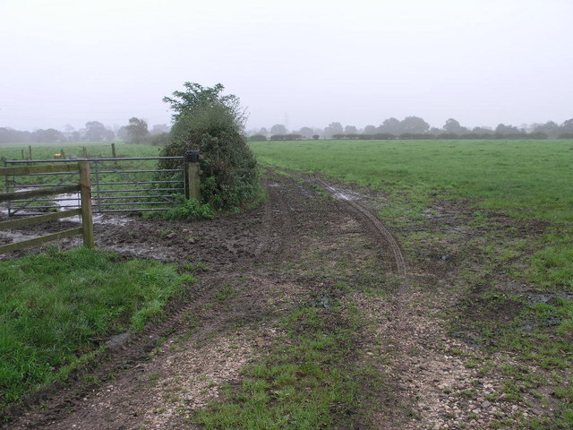
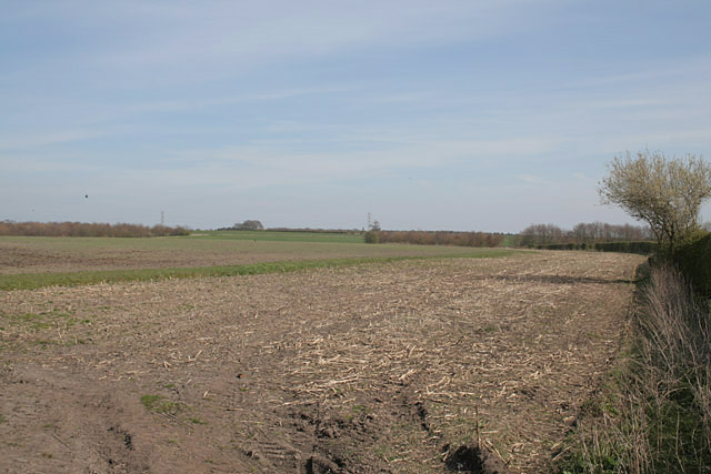
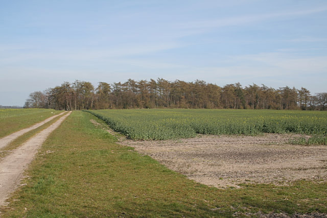
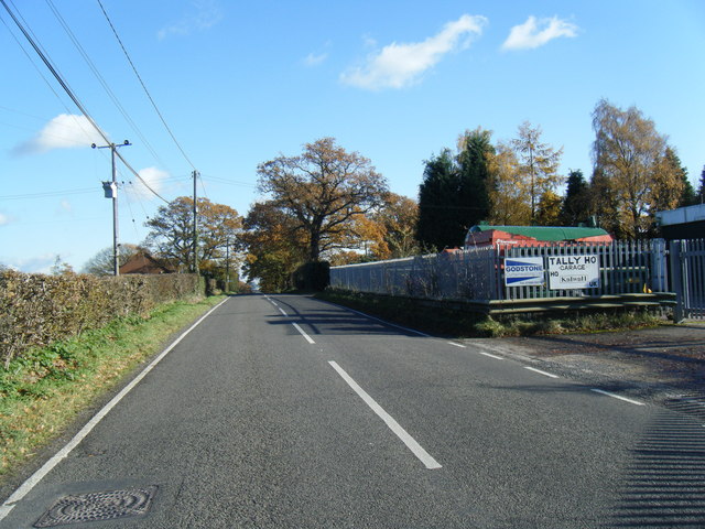
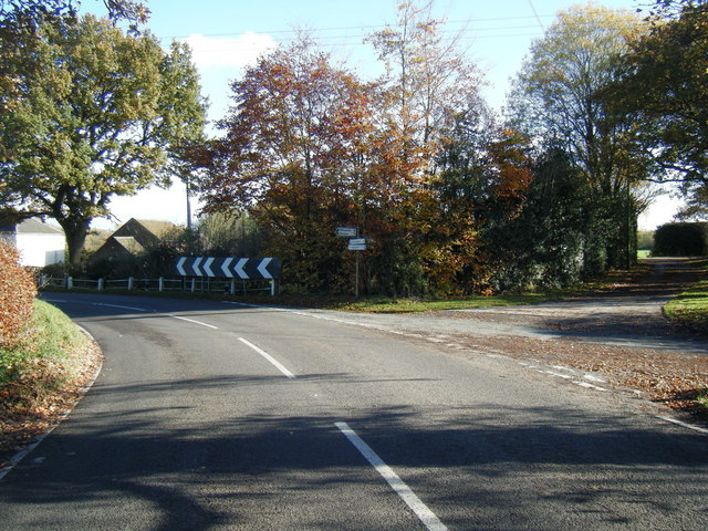
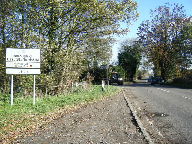
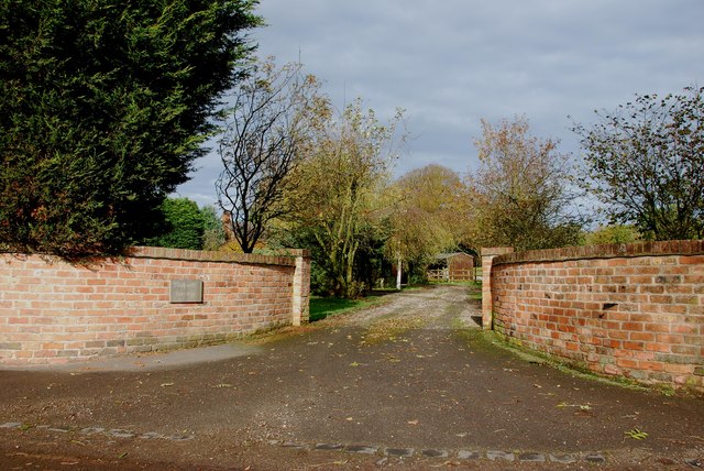
Elsmore's Rough Images
Images are sourced within 2km of 52.88091/-1.9946682 or Grid Reference SK0031. Thanks to Geograph Open Source API. All images are credited.


Elsmore's Rough is located at Grid Ref: SK0031 (Lat: 52.88091, Lng: -1.9946682)
Administrative County: Staffordshire
District: Stafford
Police Authority: Staffordshire
What 3 Words
///welcome.behind.wasps. Near Great Haywood, Staffordshire
Nearby Locations
Related Wikis

Fradswell
Fradswell is a village in Staffordshire, England, approximately 7 miles (10 km) north-east of the town of Stafford and 7 miles (11 km) north of Colwich...

Coton Hill, Staffordshire
Coton Hill is a hamlet in the English county of Staffordshire. Coton Hill is located east of the village of Milwich on the B5027 road between Stone and...

Gratwich
Gratwich is a village and former civil parish, now in the parish of Kingstone, in the East Staffordshire district, in the county of Staffordshire, England...
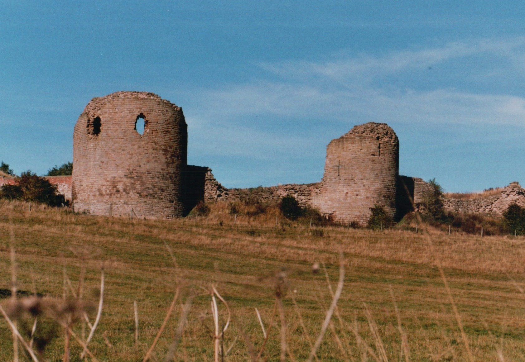
Chartley Castle
Chartley Castle lies in ruins to the north of the village of Stowe-by-Chartley in Staffordshire, between Stafford and Uttoxeter (grid reference SK010285...

Milwich
Milwich is a village and a civil parish in the English county of Staffordshire. == Location == The village is 7.8 miles (12.6 km) north east of the town...

Gayton, Staffordshire
Gayton is a small rural village and civil parish in Staffordshire, located approximately 1 mile from the A51 between Stone and Stafford. In 2001 it had...

Amerton Railway
The Amerton Railway is a 2 ft (610 mm) narrow gauge heritage railway in the English county of Staffordshire. It is owned by Staffordshire Narrow Gauge...

Chartley railway station
Chartley railway station was a former British railway station to serve the village of Stowe-by-Chartley in Staffordshire. It was opened by the Stafford...
Have you been to Elsmore's Rough?
Leave your review of Elsmore's Rough below (or comments, questions and feedback).