Low Kellas Plantation
Wood, Forest in Northumberland
England
Low Kellas Plantation
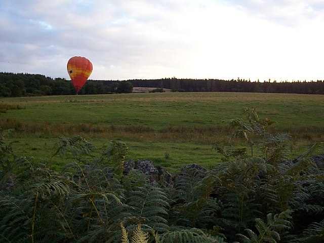
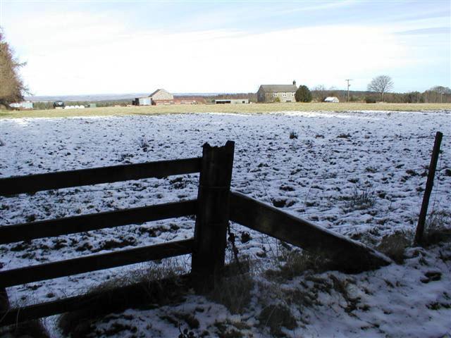
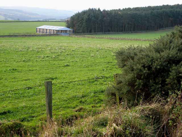
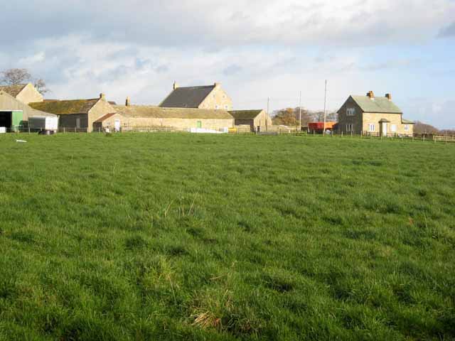
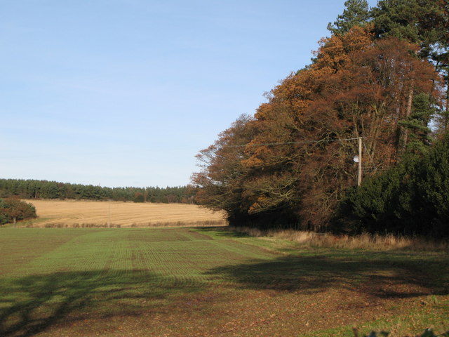
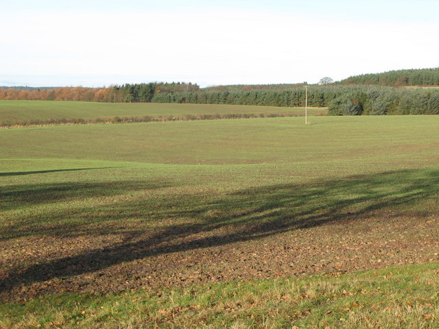
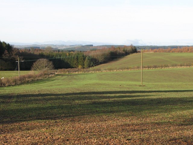
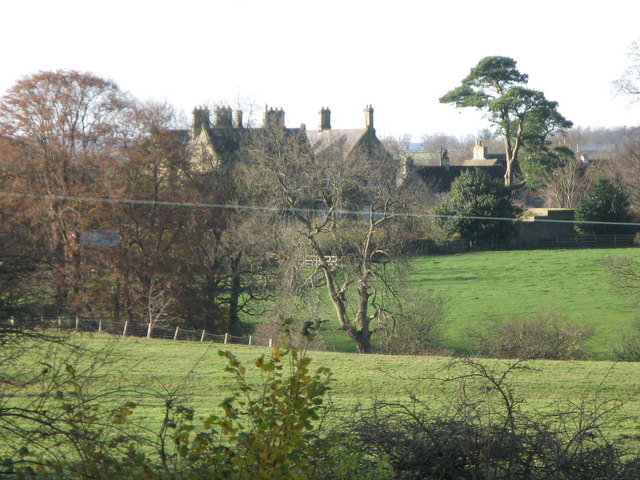
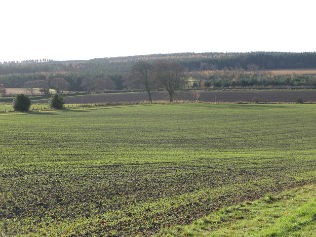
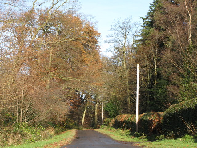
Low Kellas Plantation is a picturesque woodland area located in Northumberland, England. It spans over a vast expanse of approximately 100 acres and is known for its diverse range of flora and fauna. The plantation is situated in close proximity to the small village of Low Kellas, adding to its charm and accessibility.
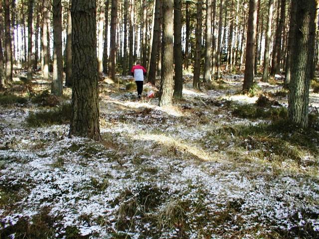
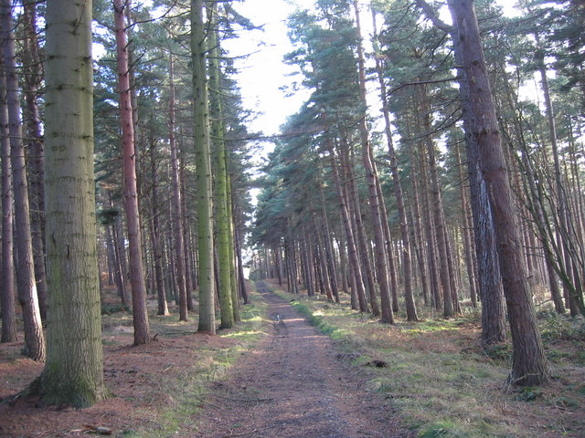
The plantation is predominantly made up of native tree species, including oak, ash, birch, and beech, providing a rich and varied habitat for wildlife. The dense canopy of trees creates a tranquil and serene atmosphere, making it a popular destination for nature enthusiasts and photographers.
The woodland floor is adorned with an array of wildflowers, ferns, and mosses, creating a vibrant and colorful carpet of vegetation. The undergrowth also provides shelter and food for numerous small mammals, such as squirrels and voles, as well as a myriad of bird species.
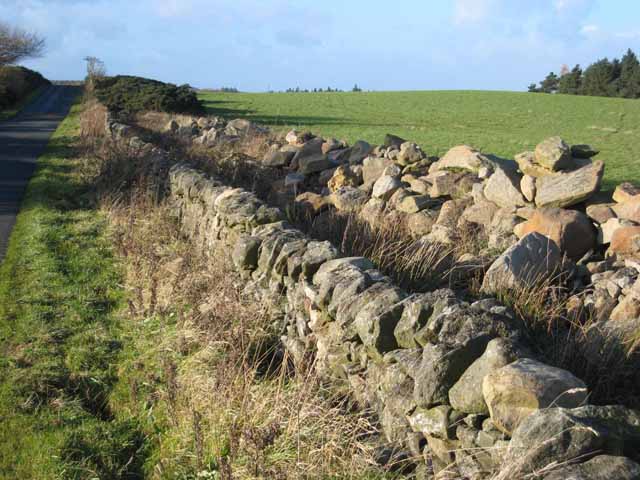
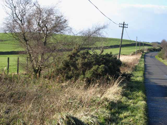
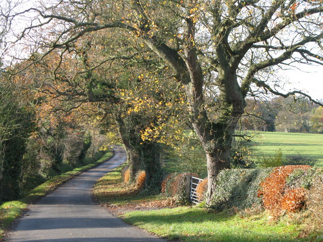
Various walking trails crisscross the plantation, allowing visitors to explore its beauty and immerse themselves in nature. These trails are well-maintained and offer stunning views of the surrounding countryside.
Low Kellas Plantation is managed by local authorities to ensure the preservation of its natural beauty and ecological balance. It is also a designated Site of Special Scientific Interest (SSSI), highlighting its importance in terms of biodiversity and conservation.
Overall, Low Kellas Plantation is a captivating woodland that showcases the beauty of Northumberland's natural landscapes. Its diverse range of flora and fauna, coupled with its tranquil ambiance, make it a haven for nature lovers and a must-visit destination for anyone seeking solace in the great outdoors.
If you have any feedback on the listing, please let us know in the comments section below.
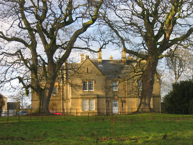
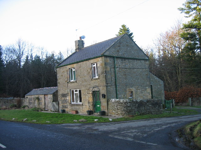
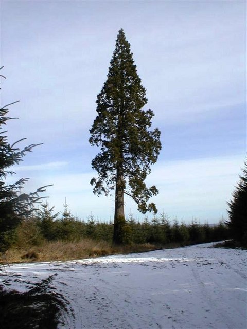
Low Kellas Plantation Images
Images are sourced within 2km of 54.901991/-1.9944332 or Grid Reference NZ0056. Thanks to Geograph Open Source API. All images are credited.
Low Kellas Plantation is located at Grid Ref: NZ0056 (Lat: 54.901991, Lng: -1.9944332)
Unitary Authority: Northumberland
Police Authority: Northumbria
What 3 Words
///campsites.vocals.crazy. Near Healey, Northumberland
Nearby Locations
Related Wikis

Slaley Hall
Slaley Hall is a country house golf resort in Northumberland in North East England, built by local developers Seamus O'Carroll and John Rourke which hosted...

Minsteracres
Minsteracres is an 18th-century mansion house, now a Christian retreat centre, in Northumberland, England. It is a Grade II listed building.The house was...

Colpitts Grange
Colpitts Grange is a hamlet in Northumberland, England. It is about 7 miles (11 km) to the south-east of Hexham. == Governance == Colpitts Grange is in...

Healey, Northumberland
Healey is a rural estate and civil parish in Northumberland, England, situated between Riding Mill to the north and Slaley to the south. The neo-Norman...

Slaley, Northumberland
Slaley is a village in Northumberland, England. It is situated to the southeast of Hexham. It is surrounded by the following villages: Ruffside, Whitley...

Derwent Reservoir (North East England)
The Derwent Reservoir is a reservoir on the River Derwent, on the border between County Durham and Northumberland, in England. It is west of Consett. It...
St Andrew's Church, Shotley
St Andrew's Church, Shotley, is a redundant Anglican church standing in an isolated position at a height of 960 feet (293 m) on Greymare Hill in Northumberland...

Pow Hill Bog
Pow Hill Bog is a Site of Special Scientific Interest in the Wear Valley district of County Durham, England. It lies alongside Derwent Reservoir, approximately...
Have you been to Low Kellas Plantation?
Leave your review of Low Kellas Plantation below (or comments, questions and feedback).