Ash Covert
Wood, Forest in Staffordshire Stafford
England
Ash Covert

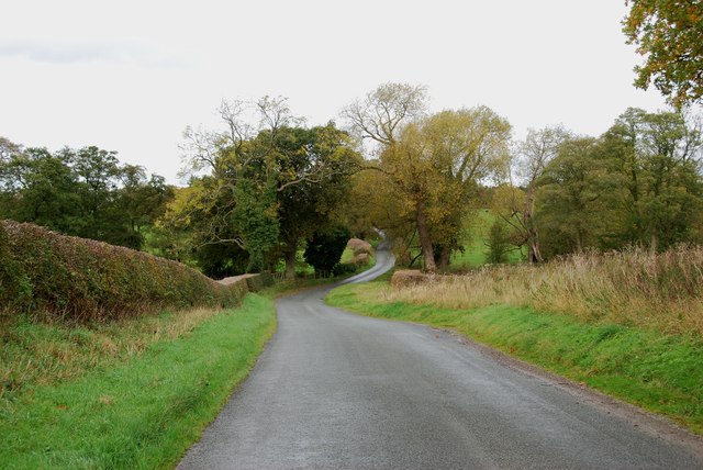
Ash Covert is a small village located in the county of Staffordshire, England. Situated within the heart of the county, it is known for its picturesque woodland and serene forested areas. The village takes its name from the abundance of ash trees that populate the area, creating a tranquil and natural environment for residents and visitors alike.
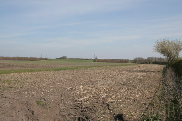
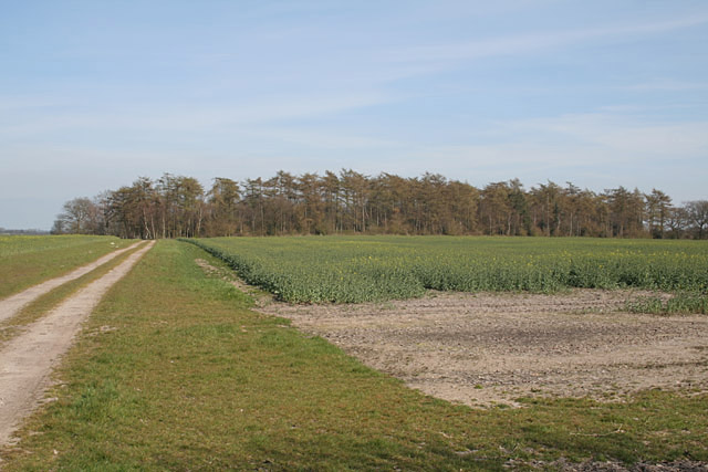
The landscape of Ash Covert is characterized by its rolling hills, lush greenery, and dense woodland. The village is surrounded by vast stretches of forest, which provide a sanctuary for various wildlife species. This makes it a popular destination for nature enthusiasts and hikers who appreciate the beauty and tranquility of the outdoors.
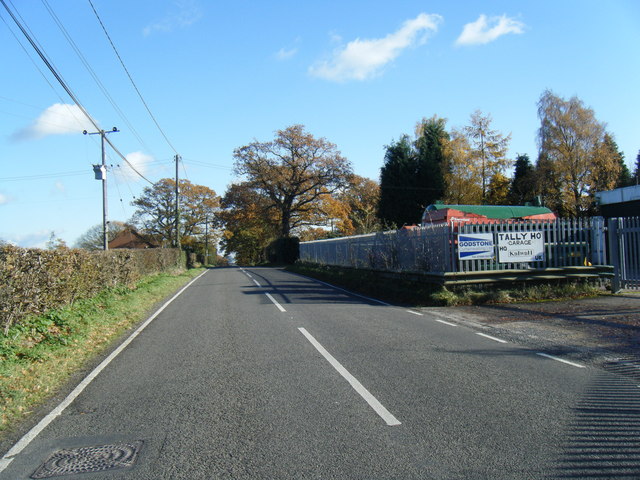
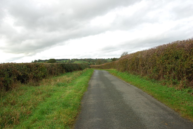
Despite its rural setting, Ash Covert is well-connected to neighboring towns and cities, with easy access to major road networks. This makes it an ideal location for those seeking a peaceful retreat while still having convenient access to amenities and services.
The village itself boasts a close-knit community, with a small number of residential properties scattered throughout the woodland. The residents of Ash Covert enjoy a quiet and idyllic lifestyle, away from the hustle and bustle of urban areas.
Overall, Ash Covert in Staffordshire offers a unique blend of natural beauty, tranquility, and community spirit. Whether one is looking to immerse themselves in nature, explore the forested areas, or simply enjoy a peaceful lifestyle, this village provides a serene escape from the outside world.
If you have any feedback on the listing, please let us know in the comments section below.
Ash Covert Images
Images are sourced within 2km of 52.877916/-1.9999434 or Grid Reference SK0031. Thanks to Geograph Open Source API. All images are credited.


Ash Covert is located at Grid Ref: SK0031 (Lat: 52.877916, Lng: -1.9999434)
Administrative County: Staffordshire
District: Stafford
Police Authority: Staffordshire
What 3 Words
///conquests.grinders.debut. Near Great Haywood, Staffordshire
Nearby Locations
Related Wikis

Fradswell
Fradswell is a village in Staffordshire, England, approximately 7 miles (10 km) north-east of the town of Stafford and 7 miles (11 km) north of Colwich...

Coton Hill, Staffordshire
Coton Hill is a hamlet in the English county of Staffordshire. Coton Hill is located east of the village of Milwich on the B5027 road between Stone and...

Gratwich
Gratwich is a village and former civil parish, now in the parish of Kingstone, in the East Staffordshire district, in the county of Staffordshire, England...
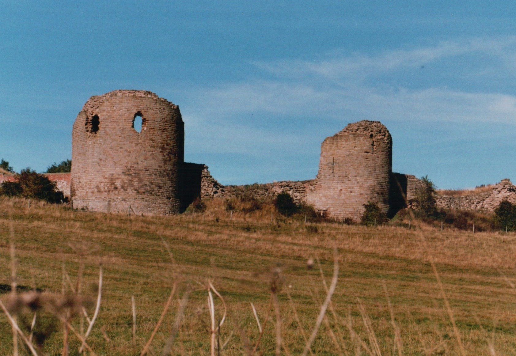
Chartley Castle
Chartley Castle lies in ruins to the north of the village of Stowe-by-Chartley in Staffordshire, between Stafford and Uttoxeter (grid reference SK010285...

Milwich
Milwich is a village and a civil parish in the English county of Staffordshire. == Location == The village is 7.8 miles (12.6 km) north east of the town...

Gayton, Staffordshire
Gayton is a small rural village and civil parish in Staffordshire, located approximately 1 mile from the A51 between Stone and Stafford. In 2001 it had...

Amerton Railway
The Amerton Railway is a 2 ft (610 mm) narrow gauge heritage railway in the English county of Staffordshire. It is owned by Staffordshire Narrow Gauge...

Chartley railway station
Chartley railway station was a former British railway station to serve the village of Stowe-by-Chartley in Staffordshire. It was opened by the Stafford...
Nearby Amenities
Located within 500m of 52.877916,-1.9999434Have you been to Ash Covert?
Leave your review of Ash Covert below (or comments, questions and feedback).