Gill Wood

Wood, Forest in Yorkshire Richmondshire

England

Gill Wood

Bleaberry Gill Ford This is Bleaberry Gill Ford shown under a Hunter Moon.
Bleaberry Gill Ford Credit: John Walton

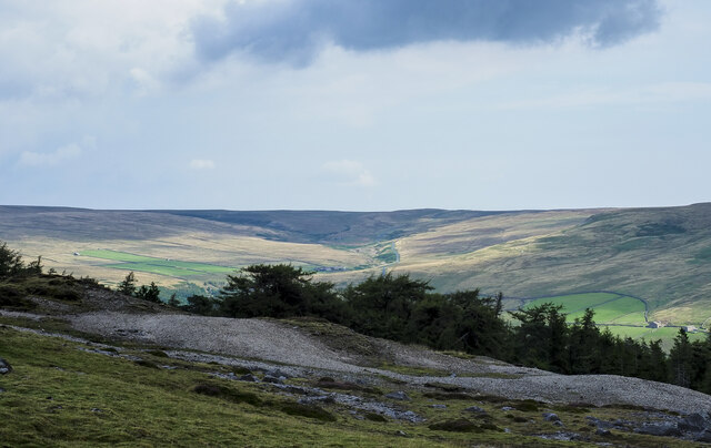
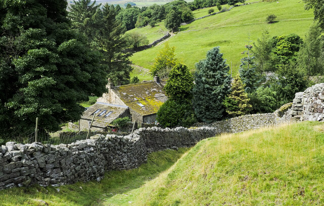
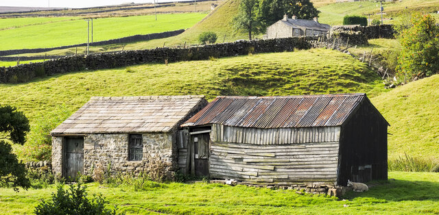
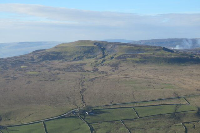
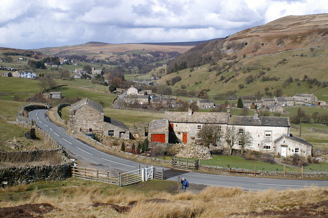
Gill Wood is a picturesque forest located in the county of Yorkshire, England. Nestled in the heart of the Yorkshire Dales National Park, this woodland area covers an approximate area of 200 hectares. It is renowned for its natural beauty, diverse flora and fauna, and tranquil atmosphere.

The woodland is primarily composed of native broadleaf trees, including oak, beech, birch, and rowan. These trees create a dense canopy that provides shelter for a variety of wildlife, such as deer, squirrels, and an array of bird species. The forest floor is carpeted with a rich assortment of wildflowers, creating a vibrant and colorful landscape during the spring and summer months.

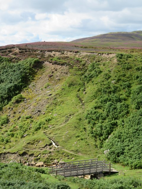
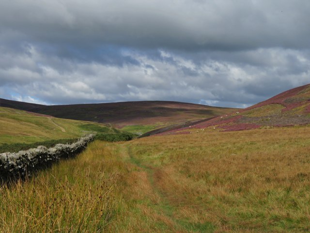
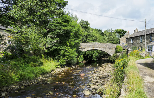
Visitors to Gill Wood can enjoy a range of activities, including walking, hiking, and birdwatching. There are several well-maintained trails that meander through the forest, offering breathtaking views of the surrounding countryside. The peaceful environment and serene ambiance make it an ideal destination for those seeking tranquility and a connection with nature.

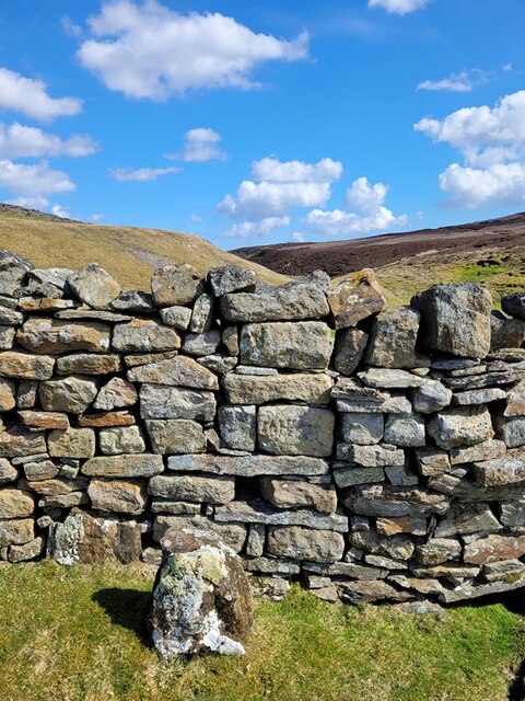
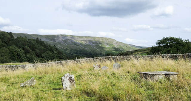
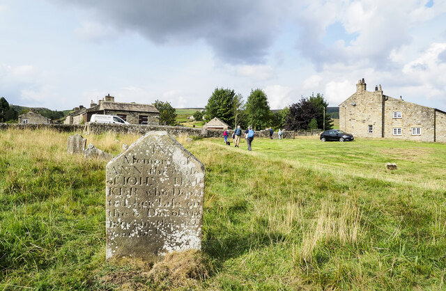
The forest is also of historical significance, with evidence of ancient settlements and archaeological sites scattered throughout the area. These remnants provide a glimpse into the region's past and add an extra layer of intrigue for history enthusiasts.

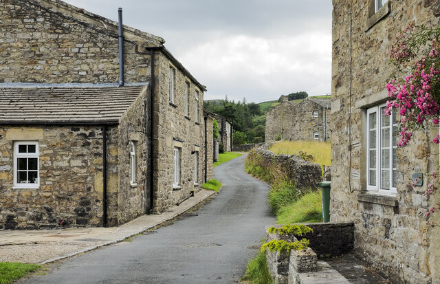
Gill Wood is easily accessible, with nearby parking facilities and well-marked entrance points. It is a popular destination for locals and tourists alike, attracting nature lovers, hikers, and families looking for a peaceful retreat. Whether it's a leisurely stroll through the woods or an adventure into the unknown, Gill Wood offers a captivating experience for all who visit.

If you have any feedback on the listing, please let us know in the comments section below.
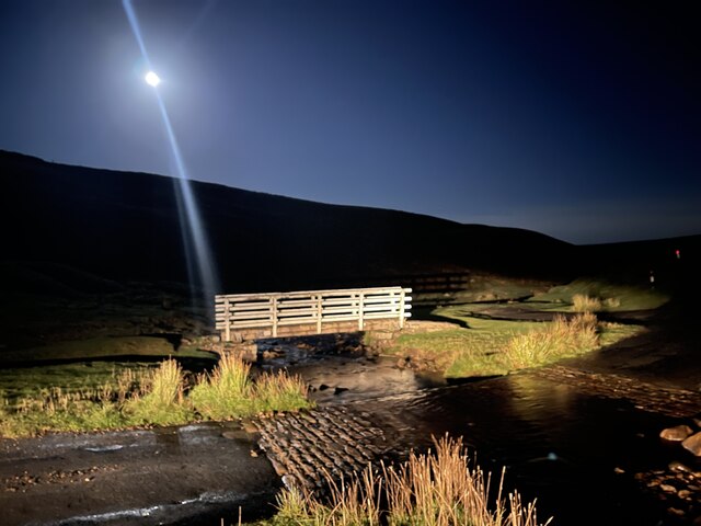
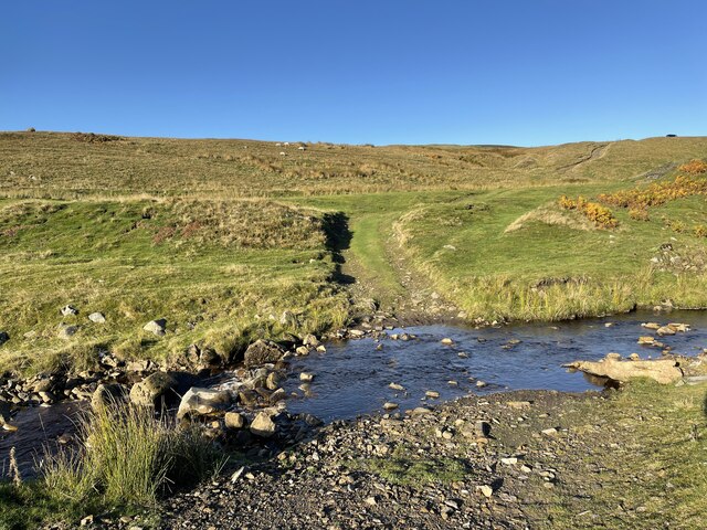
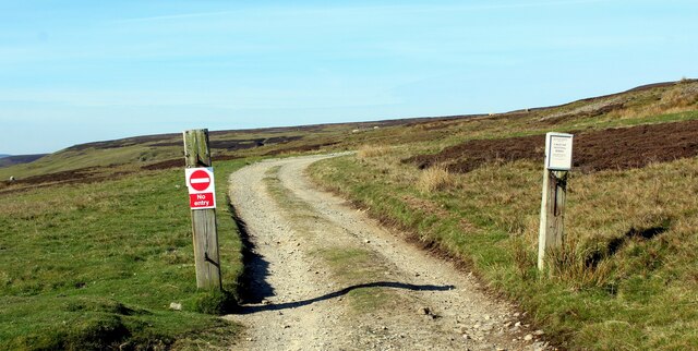
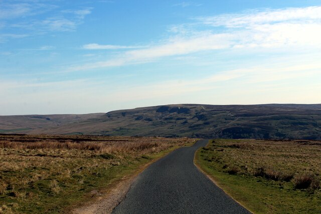
Gill Wood Images

Images are sourced within 2km of 54.409737/-1.9960993 or Grid Reference NZ0001. Thanks to Geograph Open Source API. All images are credited.

Bleaberry Gill Ford This is Bleaberry Gill Ford shown under a Hunter Moon.
Bleaberry Gill Ford
This is Bleaberry Gill Ford shown under a Hunter Moon.
Cringley Ford This is another ford on Blueberry Gill.
Cringley Ford
This is another ford on Blueberry Gill.
Track leading onto Turf Moor Heads away from the moorland road between Arkengarthdale and Low Row
Track leading onto Turf Moor
Heads away from the moorland road between Arkengarthdale and Low Row
On Turf Moor Moorland road between Low Row in Swaledale and Arkengarthdale
On Turf Moor
Moorland road between Low Row in Swaledale and Arkengarthdale
Moorland Track descending over Barras End
Kay Hushes The landscape has taken heavy punishment from a long dead lead mining industry
Kay Hushes
The landscape has taken heavy punishment from a long dead lead mining industry
Mine spoil and trees above Arkengarthdale The mine spoil appears to be finally divided and might be crushed material, waste from the initial processing of ore once it was mined. The trees are in the upper part of Tottergill Pasture.
The valley of Shaw Beck is sunlit in the distance.
Mine spoil and trees above Arkengarthdale
The mine spoil appears to be finally divided and might be crushed material, waste from the initial processing of ore once it was mined. The trees are in the upper part of Tottergill Pasture. The valley of Shaw Beck is sunlit in the distance.
Old Boundary Marker at Fore Gill Gate Parish Boundary Marker on the east side of the minor road at Fore Gill Gate between Langthwaite and Feetham. Before 1866 this might have marked the boundary of Grinton and Arkengarthdate parishes, but now on the boundary of Arkengarthdale and Reeth, Fremington and Healaugh parishes.

Milestone Society National ID: YN_REEARK05pb
Old Boundary Marker at Fore Gill Gate
Parish Boundary Marker on the east side of the minor road at Fore Gill Gate between Langthwaite and Feetham. Before 1866 this might have marked the boundary of Grinton and Arkengarthdate parishes, but now on the boundary of Arkengarthdale and Reeth, Fremington and Healaugh parishes. Milestone Society National ID: YN_REEARK05pb
Bridge and steps at Cringley Bottom The bridge replaces one first erected some 12 years ago. On the far side are some 82 steps which make the ascent to the moor edge rather easier. There could be further improvements here using new funding, as the Coast to Coast path is now designated as an official long distance path.
Bridge and steps at Cringley Bottom
The bridge replaces one first erected some 12 years ago. On the far side are some 82 steps which make the ascent to the moor edge rather easier. There could be further improvements here using new funding, as the Coast to Coast path is now designated as an official long distance path.
Moorland in late summer The view along the wallside above Cringley Bottom, looking towards Fore Gill Gate. On the fellsides the heather is in full bloom.
Moorland in late summer
The view along the wallside above Cringley Bottom, looking towards Fore Gill Gate. On the fellsides the heather is in full bloom.
Grouse butts above Bleaberry Gill I suspect these rather basic wooden butts are along the same line as some stone and turf butts that I photographed in 2012. If so, the butts appear to have gone further 'down market'.
Grouse butts above Bleaberry Gill
I suspect these rather basic wooden butts are along the same line as some stone and turf butts that I photographed in 2012. If so, the butts appear to have gone further 'down market'.
Lane descending to Storthwaite Hall Storthwaite Hall is a farm in Arkengarthdale close to the stream's confluence with Slei Gill. The walled lane, a bridleway, climbs from the farm on to the open hillside above.
Lane descending to Storthwaite Hall
Storthwaite Hall is a farm in Arkengarthdale close to the stream's confluence with Slei Gill. The walled lane, a bridleway, climbs from the farm on to the open hillside above.
Arkle Beck at Langthwaite Arkle Beck is the river draining Arkengarthdale which is a tributary valley of Swaledale. Here it's passing the small settlement at Langthwaite which is accessed by the bridge from the main road through the valley.
Arkle Beck at Langthwaite
Arkle Beck is the river draining Arkengarthdale which is a tributary valley of Swaledale. Here it's passing the small settlement at Langthwaite which is accessed by the bridge from the main road through the valley.
Gravestones at Arkle Town Arkle Town is a small settlement of Arkengarthdale. There's no longer a church in Arkle Town and the graveyard has just a few gravestones; it appears to have been virtually abandoned.
The chapel at Arkle Town was replaced by the present parish church of St Mary, Arkengarthdale in 1820. (Thanks to Stephen Craven for that additional information.)
Gravestones at Arkle Town
Arkle Town is a small settlement of Arkengarthdale. There's no longer a church in Arkle Town and the graveyard has just a few gravestones; it appears to have been virtually abandoned. The chapel at Arkle Town was replaced by the present parish church of St Mary, Arkengarthdale in 1820. (Thanks to Stephen Craven for that additional information.)
Arkle Town A minor road in the small settlement of Arkle Town in Arkengarthdale. The road is heading towards the main thoroughfare through the valley which itself is just a minor road.
Arkle Town
A minor road in the small settlement of Arkle Town in Arkengarthdale. The road is heading towards the main thoroughfare through the valley which itself is just a minor road.
Two barns in Arkengarthdale The small barns are on the south-western side of the road through the valley. The one in stone appears to be surviving better than that in wood and in fact its roof seems to have been replaced fairly recently.
Two barns in Arkengarthdale
The small barns are on the south-western side of the road through the valley. The one in stone appears to be surviving better than that in wood and in fact its roof seems to have been replaced fairly recently.
Graveyard at Arkle Town Arkle Town is a small settlement in Arkengarthdale.
The gravestone in the foreground is that of Ann Harker, wife of John, who died on the 6th. of May 1809 aged 42.
There's now no church at Arkle Town, the chapel there was replaced by the present parish church of St Mary, Arkengarthdale in 1820. (That information was provided by Stephen Craven in relation to another image.)
Graveyard at Arkle Town
Arkle Town is a small settlement in Arkengarthdale. The gravestone in the foreground is that of Ann Harker, wife of John, who died on the 6th. of May 1809 aged 42. There's now no church at Arkle Town, the chapel there was replaced by the present parish church of St Mary, Arkengarthdale in 1820. (That information was provided by Stephen Craven in relation to another image.)
Calver Hill Prominent hill between Swaledale and Arkengarthdale reaching 1598 ft. high with evidence of mining and quarrying on the summit plateau.
Calver Hill
Prominent hill between Swaledale and Arkengarthdale reaching 1598 ft. high with evidence of mining and quarrying on the summit plateau.
Show me another place!

Gill Wood is located at Grid Ref: NZ0001 (Lat: 54.409737, Lng: -1.9960993)

Division: North Riding

Administrative County: North Yorkshire

District: Richmondshire

Police Authority: North Yorkshire

What 3 Words

///marsh.contained.dares. Near Bowes, Co. Durham

Related Wikis

Arkle Town

Arkle Town is a hamlet in Arkengarthdale in the Richmondshire district of North Yorkshire, England. It is situated 0.4 miles (0.64 km) to the south of...

Langthwaite

Langthwaite is one of the few villages in Arkengarthdale, North Yorkshire, England. It is 3.5 miles (5.6 km) north of Reeth and sits 870 feet (270 m) above...

Booze, North Yorkshire

Booze is a hamlet in Arkengarthdale, in the Richmondshire district of North Yorkshire, England. It is about 1 mile (1.6 km) east of Langthwaite. There...

Calver Hill

Calver Hill is a fell in the Yorkshire Dales National Park in North Yorkshire, England. It is composed of limestone and is situated at grid reference NZ012003...

Eskeleth

Eskeleth is a hamlet in Arkengarthdale in North Yorkshire, England. It is in the Yorkshire Dales National Park. Eskeleth sits 4 miles (6.4 km) from the...

Kearton

Kearton is a hamlet in the Yorkshire Dales, North Yorkshire, England. Kearton is situated near Low Row and Reeth. == References == == External links... ==

Healaugh, Richmondshire

Healaugh (pronounced "hee-law") is a small village in the civil parish of Reeth, Fremington and Healaugh, in Swaledale in the Yorkshire Dales. It is in...

Arkle Beck Meadows, Whaw

Arkle Beck Meadows, Whaw (grid reference NY984041) is a 8.4 hectares (21 acres) biological Site of Special Scientific Interest (SSSI) at Whaw in Arkengarthdale...

Nearby Amenities

Located within 500m of 54.409737,-1.9960993
Access: yes
Barrier: entrance
Lat/Long: 54.413218/-1.9927048
Cumbers Hill
Natural: peak
Lat/Long: 54.4119422/-1.9936621
Tourism: caravan_site
Lat/Long: 54.4117065/-1.9947451
Post Box
Lat/Long: 54.412519/-1.9901239
Power: pole
Transformer: distribution
Lat/Long: 54.4126283/-1.9966981
Power: pole
Lat/Long: 54.4122654/-1.9977871
Power: pole
Lat/Long: 54.4119181/-1.9988264
Power: pole
Lat/Long: 54.4115521/-1.9999087
Power: pole
Lat/Long: 54.4109457/-1.9991899
Power: pole
Lat/Long: 54.4115232/-1.9999918
Power: pole
Lat/Long: 54.4120414/-2.0007026
Power: pole
Lat/Long: 54.4126244/-2.0015274
The data included in this document is from www.openstreetmap.org. The data is made available under ODbL.

Have you been to Gill Wood?

Leave your review of Gill Wood below (or comments, questions and feedback).