Cherryhill Coppice
Wood, Forest in Worcestershire Bromsgrove
England
Cherryhill Coppice
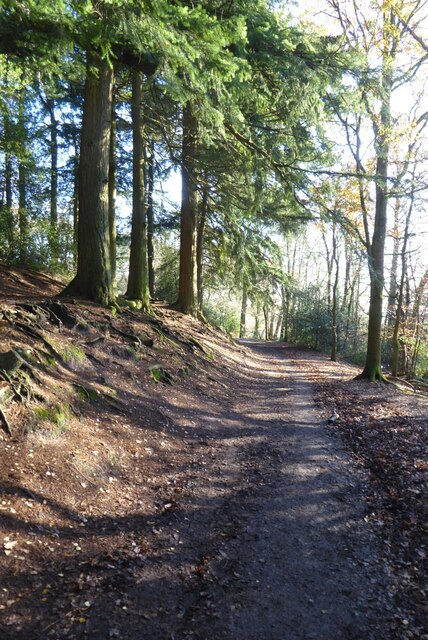
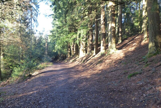
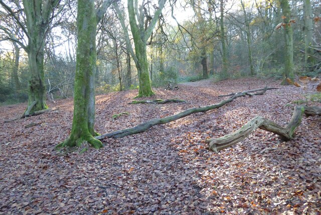
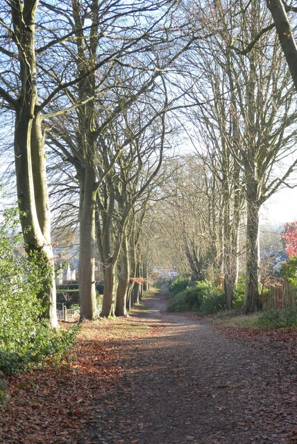
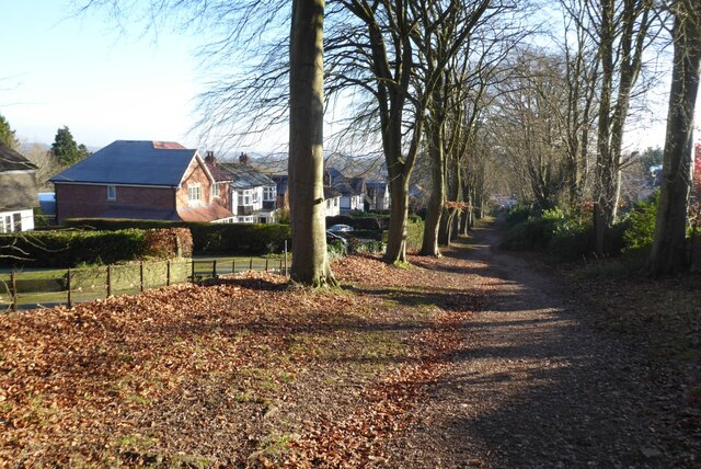
Cherryhill Coppice is a picturesque woodland area located in Worcestershire, England. Situated near the village of Cherryhill, this enchanting forest covers an area of approximately 100 acres. It is a popular destination among nature enthusiasts, hikers, and wildlife lovers.
The coppice is primarily made up of native deciduous trees such as oak, beech, and birch, which create a diverse and vibrant ecosystem. The dense canopy of leaves provides a haven for various species of birds, including woodpeckers, nuthatches, and owls, making it a paradise for birdwatchers. The forest floor is adorned with a carpet of wildflowers and ferns during the spring and summer months.
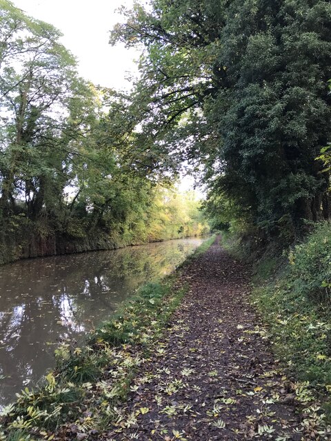
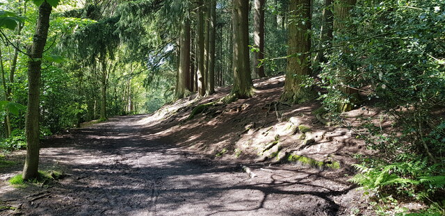
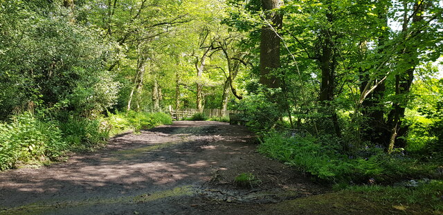
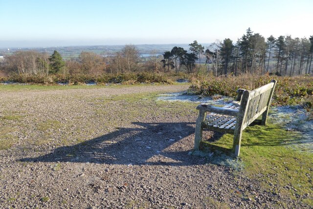
Tranquil trails wind their way through the woodland, offering visitors the opportunity to explore the beauty of Cherryhill Coppice at their own pace. These paths are well-maintained and suitable for both leisurely strolls and more challenging hikes. Along the way, benches are strategically placed, allowing visitors to rest and immerse themselves in the peaceful surroundings.
Cherryhill Coppice is not only a haven for flora and fauna but also plays an important role in the conservation of the local ecosystem. The woodland is managed sustainably, with periodic coppicing carried out to maintain the health and diversity of the trees. This traditional forestry practice also provides a sustainable source of timber for local craftsmen.
Overall, Cherryhill Coppice is a captivating and ecologically significant woodland that offers visitors a chance to connect with nature, enjoy outdoor activities, and appreciate the beauty of Worcestershire's natural landscape.
If you have any feedback on the listing, please let us know in the comments section below.
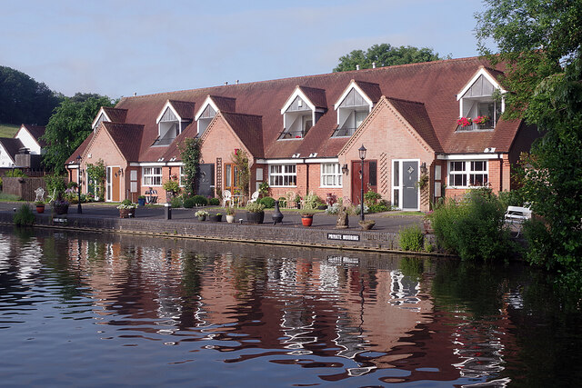
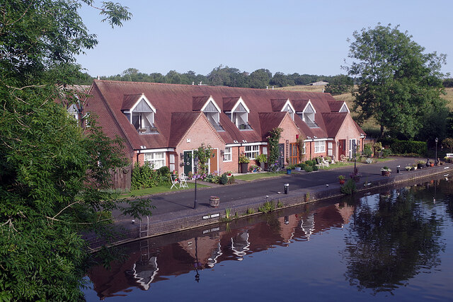
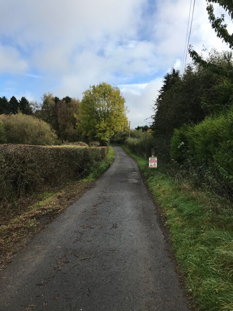
Cherryhill Coppice Images
Images are sourced within 2km of 52.363056/-1.996255 or Grid Reference SP0073. Thanks to Geograph Open Source API. All images are credited.


Cherryhill Coppice is located at Grid Ref: SP0073 (Lat: 52.363056, Lng: -1.996255)
Administrative County: Worcestershire
District: Bromsgrove
Police Authority: West Mercia
What 3 Words
///elder.online.fine. Near Barnt Green, Worcestershire
Nearby Locations
Related Wikis
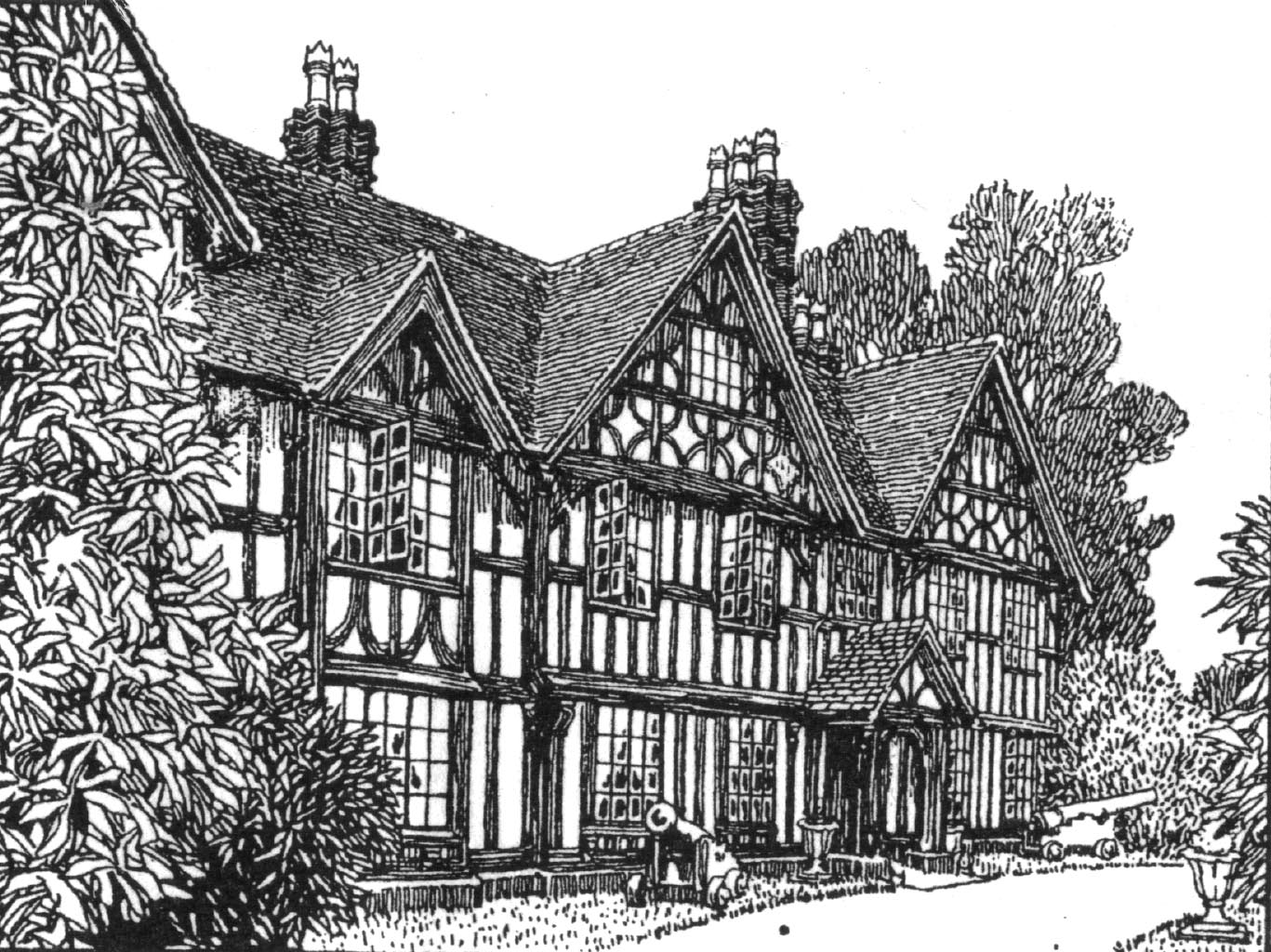
Barnt Green House
Barnt Green House is a building at Barnt Green, Worcestershire, England. It is a Grade II listed building.It was once a residence of the local nobles,...

Barnt Green railway station
Barnt Green railway station serves the village of Barnt Green, North Worcestershire, England. It is situated 9+1⁄2 miles (15.3 km) south west of Birmingham...

Barnt Green
Barnt Green is a village and civil parish in the Bromsgrove District of Worcestershire, England, situated 10 miles (16 km) south of Birmingham city centre...

Lickey
Lickey is a 'Linear Development', as opposed to a village, in the north of Worcestershire, England approximately 10 miles (16 km) south west from the centre...

Cofton Hall
Cofton Hall is a country house on the Lickey Hills near Cofton Hackett, in the Bromsgrove District of north east Worcestershire, England. It is a Grade...

Holy Trinity Church, Lickey
Holy Trinity Church, Lickey is a Church of England parish church in Lickey, Worcestershire. == History == The foundation stone was laid on 16 May 1855...

Cofton Reservoir
Cofton Reservoir is a canal feeder reservoir, south of the village of Cofton Hackett, Worcestershire in the United Kingdom. The reservoir is situated at...
Cofton railway station
Cofton railway station was a station in Cofton Hackett, Worcestershire, England. The station was opened as the temporary northern terminus during the construction...
Nearby Amenities
Located within 500m of 52.363056,-1.996255Have you been to Cherryhill Coppice?
Leave your review of Cherryhill Coppice below (or comments, questions and feedback).