Mary Castle Plantation

Wood, Forest in Northumberland

England

Mary Castle Plantation

Sundial on the porch of St. Bartholomew's Church A splendid example in good condition.  It is set into the surface at a slight angle, presumably so that it faces due south.  The inscription reads 'HORA PARS VITÆ' (An hour is a portion of life) and is dated 1764.

The graveyard is the last resting place of Sir Charles Algernon Parsons, inventor of the modern turbine.
Sundial on the porch of St. Bartholomew's Church Credit: Leanmeanmo

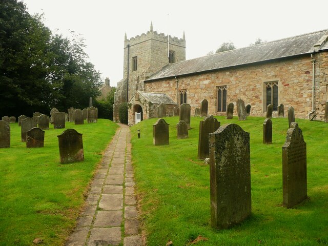
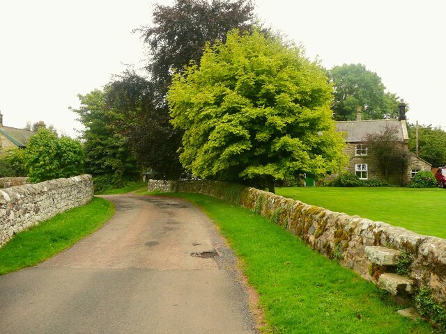
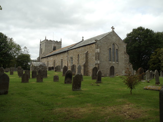
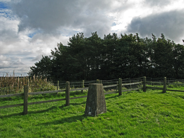
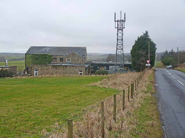
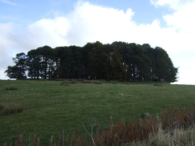
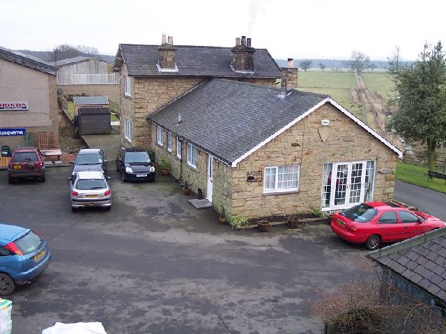
Mary Castle Plantation is a picturesque woodland located in the county of Northumberland, England. Situated near the historic market town of Morpeth, this enchanting plantation covers an area of approximately 150 acres, offering visitors a tranquil and idyllic retreat.

The plantation is primarily composed of a diverse range of trees, including oak, beech, and ash, which create a dense and verdant forest canopy. The woodland floor is adorned with a rich variety of flora, such as bluebells, primroses, and wild garlic, providing a vibrant burst of color throughout the seasons.

Known for its natural beauty and stunning landscapes, Mary Castle Plantation boasts a network of well-maintained footpaths and trails, allowing visitors to explore the plantation at their leisure. These paths wind through the woodland, offering glimpses of wildlife, from deer and foxes to a plethora of bird species, including woodpeckers and owls.

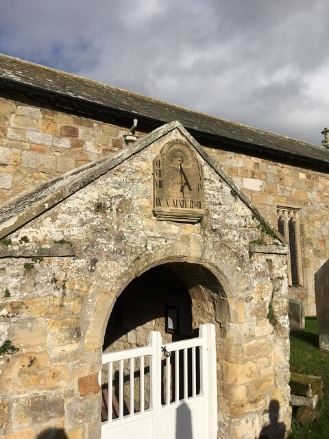
The plantation's history dates back centuries, with remnants of an ancient castle still visible among the trees. Mary Castle, after which the woodland is named, was a fortification built in the 12th century, although little of it remains today. The plantation also played a role in the timber industry during the 18th and 19th centuries, supplying wood for shipbuilding and construction.

Today, Mary Castle Plantation stands as a cherished natural haven, providing a peaceful escape for nature enthusiasts, walkers, and those seeking solace in the beauty of the Northumberland countryside. With its rich history, diverse ecosystem, and serene atmosphere, it continues to captivate visitors and offer a glimpse into the region's past.

If you have any feedback on the listing, please let us know in the comments section below.

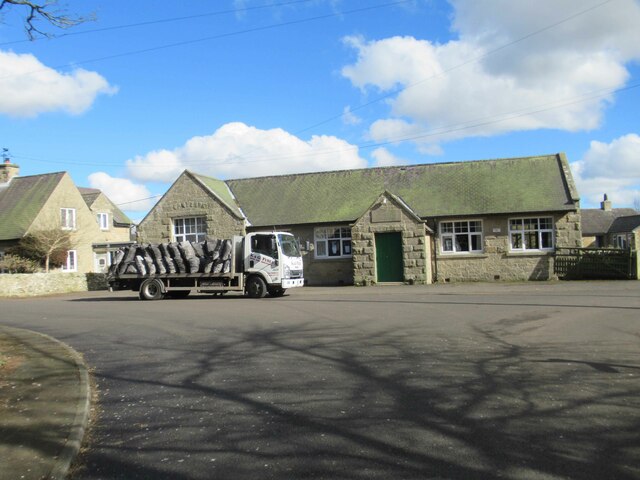
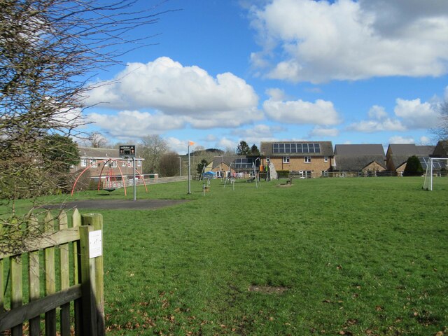
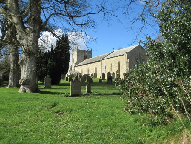
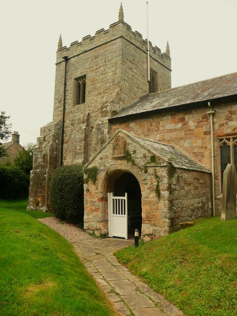
Mary Castle Plantation Images

Images are sourced within 2km of 55.170505/-1.9962972 or Grid Reference NZ0086. Thanks to Geograph Open Source API. All images are credited.

Sundial on the porch of St. Bartholomew's Church A splendid example in good condition.  It is set into the surface at a slight angle, presumably so that it faces due south.  The inscription reads 'HORA PARS VITÆ' (An hour is a portion of life) and is dated 1764.

The graveyard is the last resting place of Sir Charles Algernon Parsons, inventor of the modern turbine.
Sundial on the porch of St. Bartholomew's Church
A splendid example in good condition. It is set into the surface at a slight angle, presumably so that it faces due south. The inscription reads 'HORA PARS VITÆ' (An hour is a portion of life) and is dated 1764. The graveyard is the last resting place of Sir Charles Algernon Parsons, inventor of the modern turbine.
House on the edge of Kirkwhelpington
Ford and Footbridge, Whitridge Sike
Bus Stop and Long Bench Seat Does this indicate a very long bus queue?
Bus Stop and Long Bench Seat
Does this indicate a very long bus queue?
Village Hall and Coal Deliveries Coal not for the Village Hall since there aren't any chimneys.
The Village hall also houses the Post Office.
Village Hall and Coal Deliveries
Coal not for the Village Hall since there aren't any chimneys. The Village hall also houses the Post Office.
Playing Space
Playing Space
St Bartholomew's Church, Kirkwhelpington St Bartholomew's church was built in the 13th century, but has been altered since, mainly in the 15th and 19th centuries. It is the parish church of Kirkwhelpington. St Bartholomew's church is a Grade II* Listed Building protected by law.
<span class="nowrap"><a title="https://keystothepast.info/search-records/results-of-search/results-of-search-2/site-details/?PRN=N9575" rel="nofollow ugc noopener" href="https://keystothepast.info/search-records/results-of-search/results-of-search-2/site-details/?PRN=N9575">Link</a><img style="margin-left:2px;" alt="External link" title="External link - shift click to open in new window" src="https://s1.geograph.org.uk/img/external.png" width="10" height="10"/></span>
St Bartholomew's Church, Kirkwhelpington
St Bartholomew's church was built in the 13th century, but has been altered since, mainly in the 15th and 19th centuries. It is the parish church of Kirkwhelpington. St Bartholomew's church is a Grade II* Listed Building protected by law. LinkExternal link
St Bartholomew, Tower and Porch, Kirkwhelpington The church is listed, Grade II star.
St Bartholomew, Tower and Porch, Kirkwhelpington
The church is listed, Grade II star.
Path through the churchyard, Kirkwhelpington Church
Grave slab on bulbous legs Unfortunately I can't remember whereabouts in the churchyard this is, but I think it is near the north-west corner. It is surrounded by a tall fence.
Grave slab on bulbous legs
Unfortunately I can't remember whereabouts in the churchyard this is, but I think it is near the north-west corner. It is surrounded by a tall fence.
Lane past the recreation ground, Kirkwhelpington The old 1:2500 map captions the field 'Recreation ground and shows a path around it like a running track.  Access from this lane is by step-stile. The address of the house in the background is 'The Green'. However, I took this photograph mainly because I liked the tree with the bright green leaves.
Lane past the recreation ground, Kirkwhelpington
The old 1:2500 map captions the field 'Recreation ground and shows a path around it like a running track. Access from this lane is by step-stile. The address of the house in the background is 'The Green'. However, I took this photograph mainly because I liked the tree with the bright green leaves.
The Church of St. Bartholomew, Kirkwhelpington
Trig point at Whitehill. The trig point known to the OS as Whitehill lies north-east of the farm at West Whitehill and sits beside a grass covered reservoir within a fenced enclosure.
Trig point at Whitehill.
The trig point known to the OS as Whitehill lies north-east of the farm at West Whitehill and sits beside a grass covered reservoir within a fenced enclosure.
Kirkwhelpington The Church of St. Bartholomew at Kirkwhelpington.
Kirkwhelpington
The Church of St. Bartholomew at Kirkwhelpington.
Knowesgate Knowesgate Inn at Knowesgate crossroads.
Knowesgate
Knowesgate Inn at Knowesgate crossroads.
Knowesgate Inn and Cafe Also incorporating a small convenience store, this is one of the very few service points on the lonely A696/A68 trunk road from Newcastle to Jedburgh.
Knowesgate Inn and Cafe
Also incorporating a small convenience store, this is one of the very few service points on the lonely A696/A68 trunk road from Newcastle to Jedburgh.
Rear of Knowesgate Inn Hotel Also incorporating a cafe and small convenience store, this is one of the very few service points on the lonely A696/A68 trunk road from Newcastle to Jedburgh. Note also the mobile phone mast.
Rear of Knowesgate Inn Hotel
Also incorporating a cafe and small convenience store, this is one of the very few service points on the lonely A696/A68 trunk road from Newcastle to Jedburgh. Note also the mobile phone mast.
Woodland near Knowesgate
Show me another place!

Mary Castle Plantation is located at Grid Ref: NZ0086 (Lat: 55.170505, Lng: -1.9962972)

Unitary Authority: Northumberland

Police Authority: Northumbria

What 3 Words

///nozzle.ignore.caked. Near Rothley, Northumberland

Related Wikis

Northumberland

Northumberland ( nor-THUM-bər-lənd) is a ceremonial county in North East England, bordering Scotland. It is bordered by the Scottish Borders to the north...

Knowesgate railway station

Knowesgate was a stone-built railway station with goods sidings in Northumberland, England on the Wansbeck Railway between Morpeth and Reedsmouth, which...

Kirkwhelpington

Kirkwhelpington is a village and civil parish in the English county of Northumberland about 13 miles (21 km) northeast of Hexham. It is on the River Wansbeck...

Little Harle Tower

Little Harle Tower is a Grade II* listed privately owned country house with 15th-century origins, located at Little Harle, Kirkwhelpington, Northumberland...

Cambo, Northumberland

Cambo is a village and former civil parish, now in the parish of Wallington Demesne, in Northumberland, England. It is about 11 miles (18 km) to the west...

Wallington Hall

Wallington is a country house and gardens located about 12 miles (19 km) west of Morpeth, Northumberland, England, near the village of Cambo. It has been...

Scotsgap railway station

Scotsgap was a stone-built railway station in Northumberland on the Wansbeck Railway, which served the villages of Scots' Gap and Cambo. It was located...

Scots Gap

Scots Gap is a small village in Northumberland, United Kingdom. == Population == Scots Gap has approximately 70 private residential dwellings, the oldest...

Related Videos

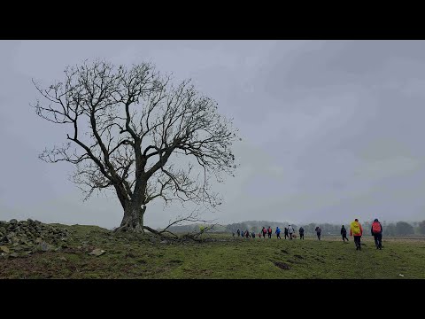
Kirkwhelpington and West in the Wind and Rain with Interesting Walks NE (9 miles)

Wetter than a very wet thing, yet it's good to get out. Plenty of rain, wind and mud. Thanks for watching.

Nearby Amenities

Located within 500m of 55.170505,-1.9962972
Power: pole
Lat/Long: 55.1710254/-2.0040963
Power: pole
Lat/Long: 55.1720001/-2.0036108
Crossing
Lat/Long: 55.1679238/-1.998665
Crossing
Lat/Long: 55.1682661/-2.0015799
The data included in this document is from www.openstreetmap.org. The data is made available under ODbL.

Have you been to Mary Castle Plantation?

Leave your review of Mary Castle Plantation below (or comments, questions and feedback).