Wall Grove
Wood, Forest in Gloucestershire Cotswold
England
Wall Grove
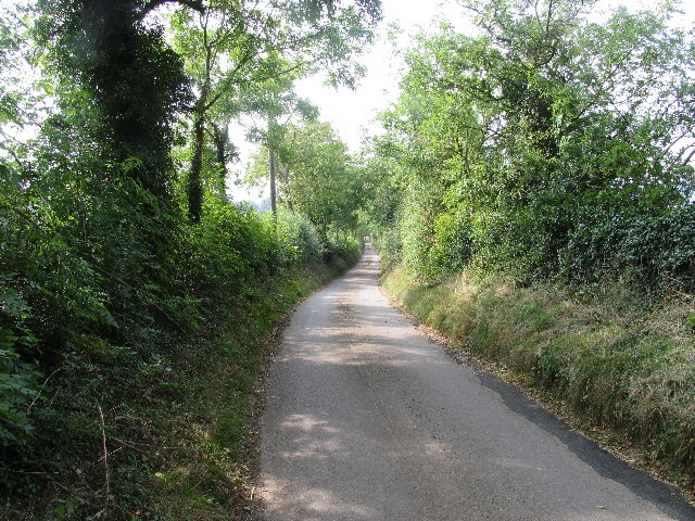
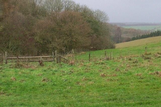
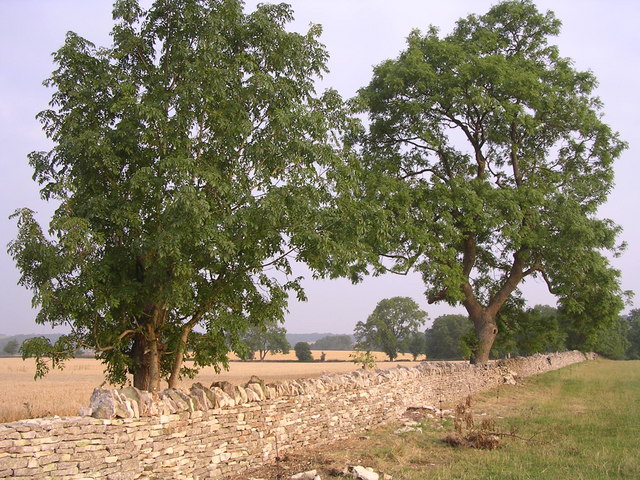
Wall Grove is a picturesque woodland located in Gloucestershire, England. Situated near the village of Wall, the grove is renowned for its stunning natural beauty and abundant wildlife. Covering an area of approximately 100 acres, it is a popular destination for nature enthusiasts and outdoor enthusiasts alike.
The grove is predominantly made up of deciduous trees, including oak, beech, and birch, creating a diverse and vibrant ecosystem. The dense foliage provides a habitat for a wide range of bird species, such as woodpeckers, thrushes, and owls, making it a haven for birdwatchers. Additionally, the forest floor is carpeted with an array of wildflowers and ferns, adding to its enchanting charm.
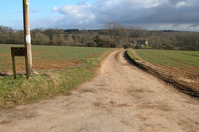
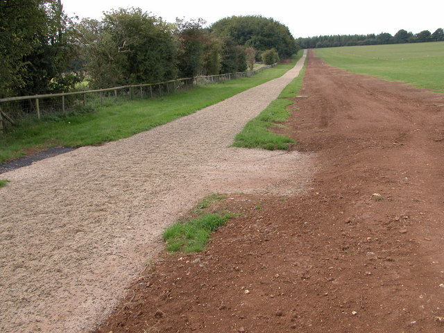
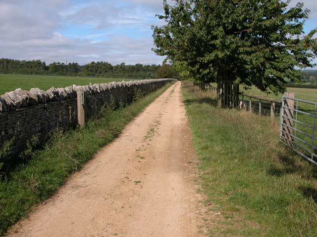
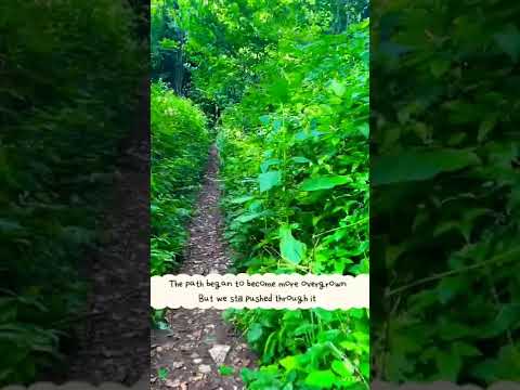
Visitors to Wall Grove can explore the numerous walking trails that wind their way through the woodlands, offering breathtaking views and opportunities for peaceful contemplation. The paths are well-maintained, making it accessible for people of all ages and abilities. Along the way, visitors may come across ancient ruins, remnants of old stone walls, and other historical features, adding an element of intrigue to the experience.
The grove is also a designated Site of Special Scientific Interest (SSSI), highlighting its ecological significance. It is protected by conservation efforts to preserve its natural beauty and safeguard its diverse range of flora and fauna.
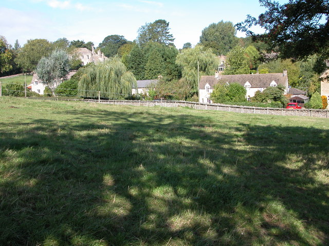
Overall, Wall Grove in Gloucestershire is a captivating woodland that offers a tranquil escape from the bustling world. With its stunning landscapes, rich biodiversity, and historical charm, it is a must-visit destination for anyone seeking a connection with nature.
If you have any feedback on the listing, please let us know in the comments section below.
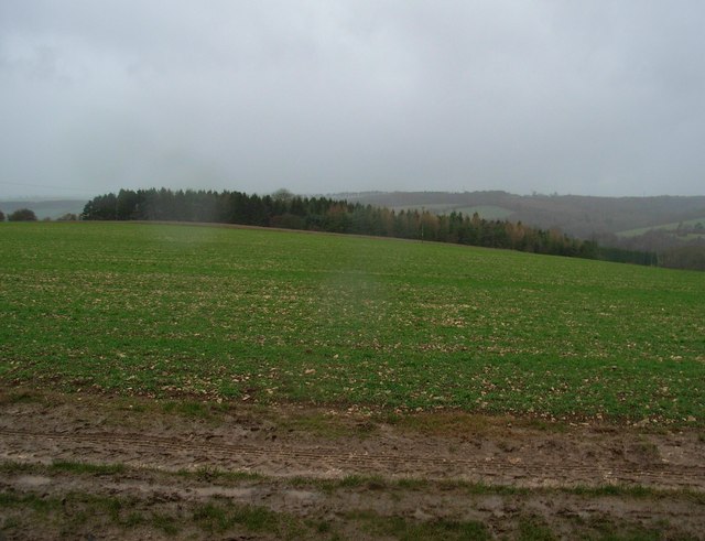
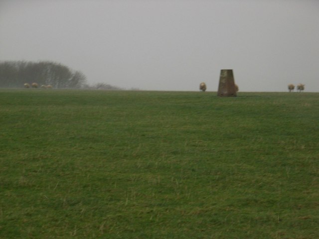
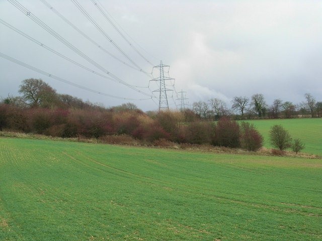
Wall Grove Images
Images are sourced within 2km of 51.846262/-1.9965563 or Grid Reference SP0016. Thanks to Geograph Open Source API. All images are credited.


Wall Grove is located at Grid Ref: SP0016 (Lat: 51.846262, Lng: -1.9965563)
Administrative County: Gloucestershire
District: Cotswold
Police Authority: Gloucestershire
What 3 Words
///coaching.sway.unable. Near Charlton Kings, Gloucestershire
Nearby Locations
Related Wikis

Andoversford
Andoversford is a village and civil parish in the Cotswold District of Gloucestershire, England, about 5 miles (8 km) east of Cheltenham. The village is...

Withington, Gloucestershire
Withington is a Cotswold village and civil parish in Gloucestershire, England, about 7 miles (11 km) southeast of Cheltenham and 8 miles (13 km) north...

Lineover Wood
Lineover Wood (grid reference SO987187) is a 20.3-hectare (50-acre) biological Site of Special Scientific Interest in Gloucestershire, notified in 1986...

Withington railway station (Gloucestershire)
Withington railway station was on the Midland and South Western Junction Railway serving the village of Withington in Gloucestershire. The station opened...

Church of St Michael, Withington
The Anglican Church of St Michael at Withington in the Cotswold District of Gloucestershire, England was built in the 12th century. It is a grade I listed...
Colesbourne
Colesbourne is a village and civil parish in the Cotswold district of Gloucestershire, England. The village and parish lies within the Cotswolds, a designated...

St Mary's Church, Shipton Solars
St Mary's Church is a redundant Anglican church in the village of Shipton Sollars, Gloucestershire, England under the care of The Churches Conservation...

Seven Springs, Gloucestershire
Seven Springs is a hamlet in the heavily wooded parish of Coberley in the Cotswold District of Gloucestershire in England, 4 miles (6.4 km) south of Cheltenham...
Related Videos


#shorts A hike through the dowdeswell reservoir
A nice little hike through the dowdeswell reservoir like and sub to help support the channel.
Nearby Amenities
Located within 500m of 51.846262,-1.9965563Have you been to Wall Grove?
Leave your review of Wall Grove below (or comments, questions and feedback).