Fir Hill Plantation

Wood, Forest in Wiltshire

England

Fir Hill Plantation

Bend in Catherine Ford Lane
Bend in Catherine Ford Lane Credit: David Martin

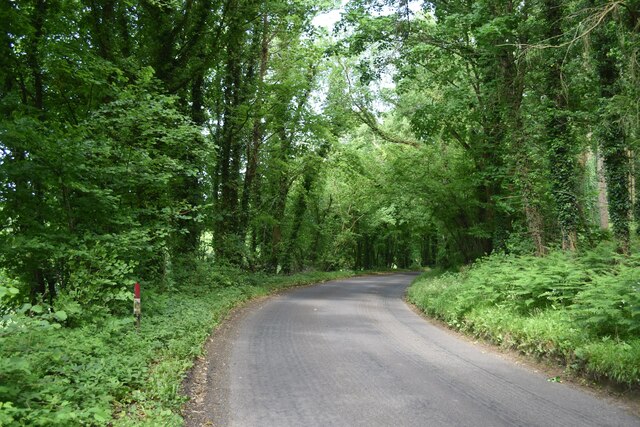
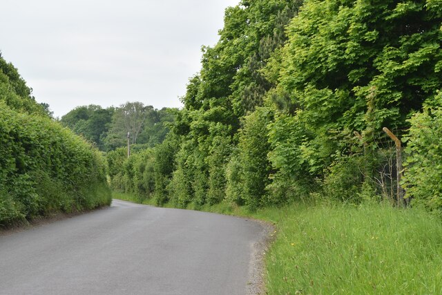
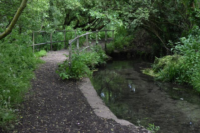
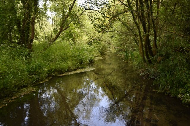
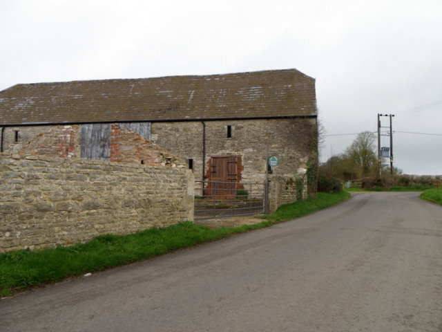
Fir Hill Plantation is a picturesque wood located in the county of Wiltshire, England. Situated in the southern part of the county, the plantation covers a sprawling area of approximately 300 acres. It is known for its dense forest and abundant fir trees, which give the plantation its name.

The wood is a haven for nature enthusiasts and offers a tranquil setting for visitors to explore. The diverse ecosystem within the plantation includes a variety of flora and fauna, making it a popular destination for wildlife enthusiasts and birdwatchers. The wood is home to several species of birds, including woodpeckers, owls, and various songbirds. It is also a habitat for mammals such as deer, foxes, and rabbits.

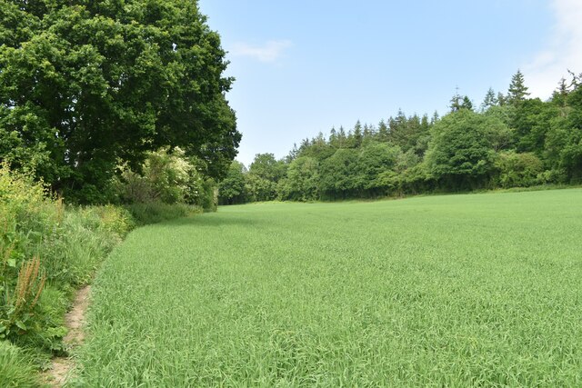
Visitors can enjoy a range of activities within Fir Hill Plantation, including walking, hiking, and cycling. The plantation features well-maintained paths and trails, allowing visitors to easily navigate through the wood and appreciate its natural beauty. Additionally, there are designated picnic areas where visitors can relax and enjoy a meal surrounded by the peaceful ambiance of the wood.

Fir Hill Plantation is managed by the local authorities in collaboration with conservation organizations to ensure the preservation of its natural habitat. The wood is open to the public throughout the year, offering a serene escape from the hustle and bustle of everyday life. Whether it is a leisurely stroll or a more adventurous exploration, Fir Hill Plantation provides an idyllic setting for individuals to connect with nature and experience the tranquility of a true English woodland.

If you have any feedback on the listing, please let us know in the comments section below.

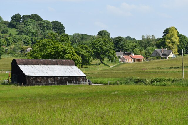
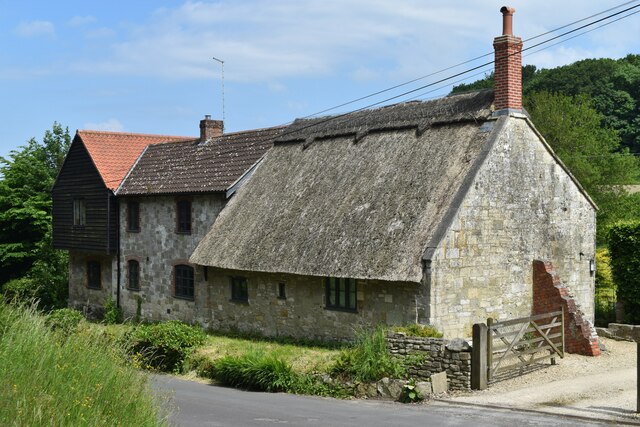
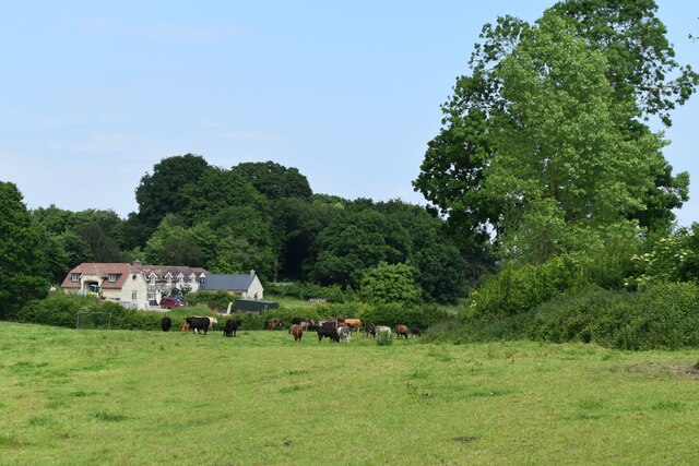
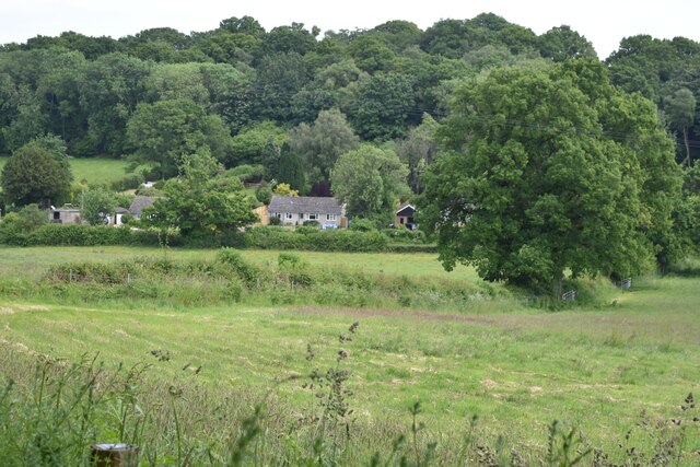
Fir Hill Plantation Images

Images are sourced within 2km of 51.065563/-1.9994357 or Grid Reference SU0029. Thanks to Geograph Open Source API. All images are credited.

Bend in Catherine Ford Lane
'The Greater Good, Fovant
Old Milestone by the B3089, Hindon Road, east of Teffont Evias Carved stone post by the B3089, in parish of TEFFONT (SALISBURY District), Hindon Rd; 350m W Teffont Lodge, by wood, on South side of road. Hindon stone, erected by the Fisherton, Wilton, Heytesbury, Willoughby Hedge & Redhone turnpike trust in the 19th century. 

Inscription reads:-
(S)ARUM
10
HINDON
VI 

Grade II listed. List Entry Number: 1318715
<span class="nowrap"><a title="https://historicengland.org.uk/listing/the-list/list-entry/1318715" rel="nofollow ugc noopener" href="https://historicengland.org.uk/listing/the-list/list-entry/1318715">Link</a><img style="margin-left:2px;" alt="External link" title="External link - shift click to open in new window" src="https://s1.geograph.org.uk/img/external.png" width="10" height="10"/></span>

Milestone Society National ID: WI_SAMR10.
Old Milestone by the B3089, Hindon Road, east of Teffont Evias
Carved stone post by the B3089, in parish of TEFFONT (SALISBURY District), Hindon Rd; 350m W Teffont Lodge, by wood, on South side of road. Hindon stone, erected by the Fisherton, Wilton, Heytesbury, Willoughby Hedge & Redhone turnpike trust in the 19th century. Inscription reads:- (S)ARUM 10 HINDON VI Grade II listed. List Entry Number: 1318715 LinkExternal link Milestone Society National ID: WI_SAMR10.
Lush roadside vegetation at Ham Cross
Farm buildings at Sutton Mandeville
Thatched house at Sutton Mandeville
Field at Sutton Mandeville
Fields and woodland west of Fovant
Triangular green at Fovant
Shady footbridge and stream at Fovant
Shady stream at Fovant
Field below Catherine Ford Lane
Minor road near Teffont Evias The minor road passes the farm buildings of Ley Farm.  There is an Ordnance Survey bench mark on the angle of the barn.
Minor road near Teffont Evias
The minor road passes the farm buildings of Ley Farm. There is an Ordnance Survey bench mark on the angle of the barn.
Bench Mark, Ley Farm The bench mark is to be found on the south east angle of the building.  For a view of the building <a href="https://www.geograph.org.uk/photo/2334338">ST9830 : Minor road near Teffont Evias</a> and for further information on the bench mark and others in the area <span class="nowrap"><a title="http://www.bench-marks.org.uk/bm37438" rel="nofollow ugc noopener" href="http://www.bench-marks.org.uk/bm37438">Link</a><img style="margin-left:2px;" alt="External link" title="External link - shift click to open in new window" src="https://s1.geograph.org.uk/img/external.png" width="10" height="10"/></span>
Bench Mark, Ley Farm
The bench mark is to be found on the south east angle of the building. For a view of the building ST9830 : Minor road near Teffont Evias and for further information on the bench mark and others in the area LinkExternal link
Teffont Evias, Church and Manor The Church of St Michael and All Angels with Teffont Evias Manor in the background. The Manor was the birthplace of Henry, Earl of Marlborough who became Chancellor of England in the reign of James II.
Teffont Evias, Church and Manor
The Church of St Michael and All Angels with Teffont Evias Manor in the background. The Manor was the birthplace of Henry, Earl of Marlborough who became Chancellor of England in the reign of James II.
Teffont Evias: View of Church of St Michael and All Angels
Teffont Evias: View of  the village road leading to the Church The picture shows the Church of St Michael and All Angels and, to the left, Teffont Manor.
Teffont Evias: View of the village road leading to the Church
The picture shows the Church of St Michael and All Angels and, to the left, Teffont Manor.
Teffont Evias: Spring water on its way to the River Nadder
Show me another place!

Fir Hill Plantation is located at Grid Ref: SU0029 (Lat: 51.065563, Lng: -1.9994357)

Unitary Authority: Wiltshire

Police Authority: Wiltshire

What 3 Words

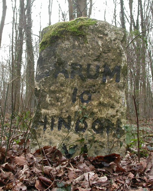
///crisp.albatross.prepare. Near Dinton, Wiltshire

Related Wikis

Fovant

Fovant is a village and civil parish in southwest Wiltshire, England, lying about 9 miles (14 km) west of Salisbury on the A30 Salisbury-Shaftesbury road...

Dinton Quarry

Dinton Quarry (grid reference SU006308) is a 3,000 square metre geological Site of Special Scientific Interest in Wiltshire, notified in 1990. This long...

Dinton Railway Cutting

Dinton Railway Cutting (grid reference SU008309) is a 2,600 square metre geological Site of Special Scientific Interest in Wiltshire, notified in 1990...
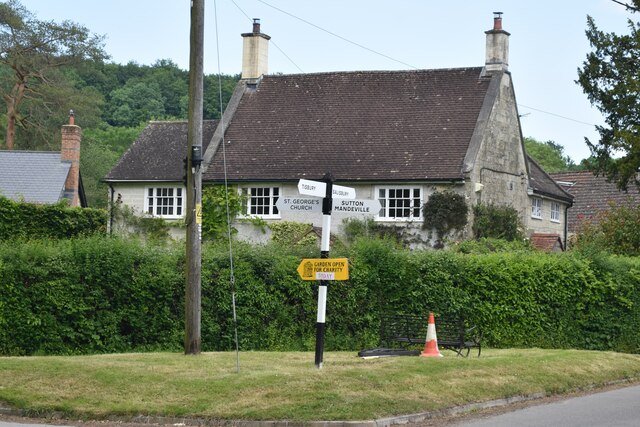
Sutton Mandeville

Sutton Mandeville is a small village and civil parish in Wiltshire, England, in the Nadder valley and towards the east end of the Vale of Wardour. The...

Dinton railway station

Dinton railway station is a disused railway station which formerly served Dinton in Wiltshire, England. It was situated on the West of England Main Line...
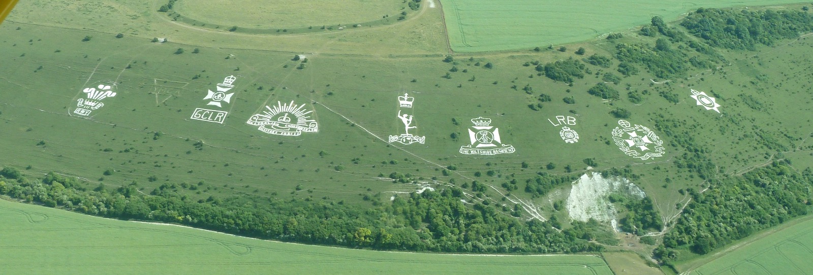
Fovant Badges

The Fovant Badges are a set of regimental badges cut into a chalk hill, Fovant Down, near Fovant, in south-west Wiltshire, England. They are between Salisbury...

Teffont Evias

Teffont Evias is a small village and former civil parish, now in the parish of Teffont, on the Nadder valley in the south of Wiltshire, England. Edric...

Chiselbury

Chiselbury is the site of an Iron Age univallate hillfort in Wiltshire, England. The hillfort is sub-circular in plan, and encloses an area of approximately...

Nearby Amenities

Located within 500m of 51.065563,-1.9994357
Fir Hill
Access: private
Ele: 159
Natural: peak
Source: NPE
Lat/Long: 51.0660731/-1.996108
Barrier: stile
Lat/Long: 51.0636099/-2.0023735
Barrier: stile
Lat/Long: 51.0636463/-2.0033244
Barrier: stile
Lat/Long: 51.0637049/-2.0041862
The data included in this document is from www.openstreetmap.org. The data is made available under ODbL.

Have you been to Fir Hill Plantation?

Leave your review of Fir Hill Plantation below (or comments, questions and feedback).