Ash Bed
Wood, Forest in Wiltshire
England
Ash Bed
Ash Bed is a small woodland area located in the county of Wiltshire, England. Situated near the town of Wiltshire, it covers an approximate area of 10 acres and is known for its abundance of ash trees, which give the woodland its name.
The woodland is characterized by its dense canopy of tall, mature ash trees, which create a shaded and peaceful atmosphere. The trees reach heights of up to 25 meters, providing a habitat for a diverse range of wildlife. The forest floor is covered with a thick layer of fallen leaves, creating a soft carpet that is home to various small mammals and insects.
Ash Bed is a popular destination for nature enthusiasts and hikers, who enjoy exploring the well-maintained paths that wind through the woodland. These paths lead visitors through a variety of natural features, including a small stream that meanders through the trees, adding to the tranquil ambiance.
The woodland is also known for its rich biodiversity, with a wide array of plant species growing amidst the ash trees. Bluebells, primroses, and wild garlic are some of the common flowers that bloom in the spring, adding bursts of color to the greenery. The woodland is also home to a variety of bird species, including woodpeckers, owls, and various songbirds.
Overall, Ash Bed offers a serene and picturesque setting, providing a welcome escape from the hustle and bustle of modern life. Whether it's for a leisurely stroll or an opportunity to observe nature, this woodland is a must-visit for those seeking a peaceful retreat in the heart of Wiltshire.
If you have any feedback on the listing, please let us know in the comments section below.
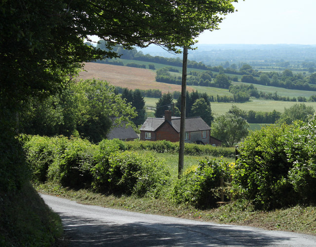
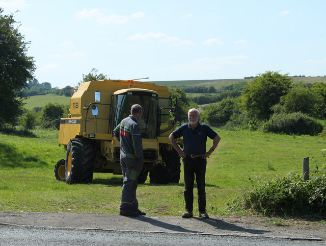
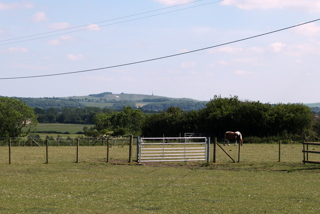
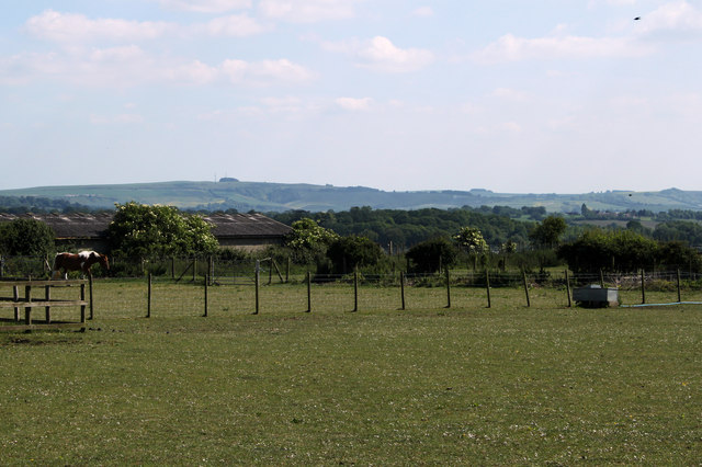
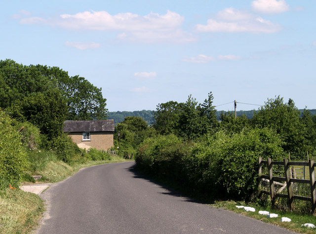
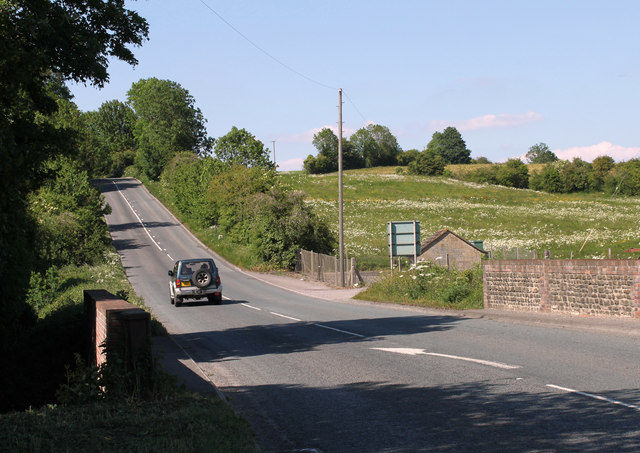
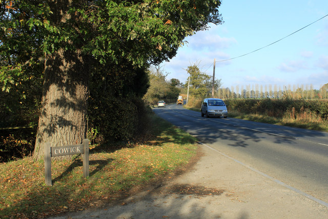
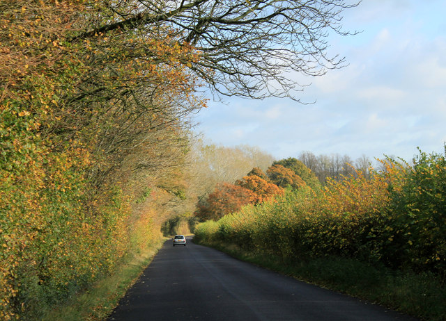
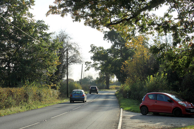
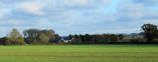
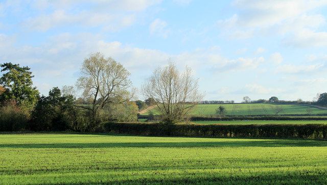
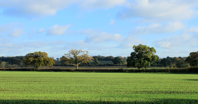
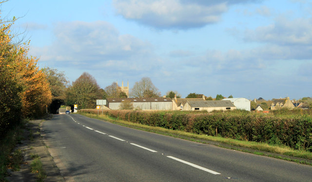
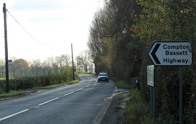
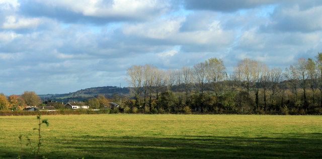
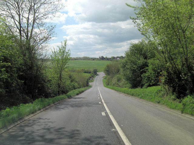
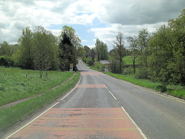
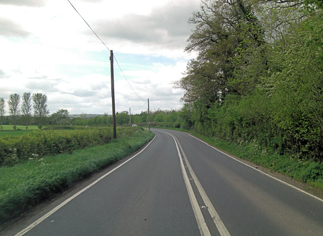
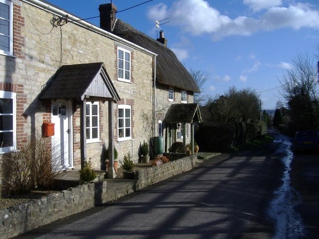
Ash Bed Images
Images are sourced within 2km of 51.47791/-1.999505 or Grid Reference SU0075. Thanks to Geograph Open Source API. All images are credited.
Ash Bed is located at Grid Ref: SU0075 (Lat: 51.47791, Lng: -1.999505)
Unitary Authority: Wiltshire
Police Authority: Wiltshire
What 3 Words
///funky.liquids.parks. Near Bremhill, Wiltshire
Nearby Locations
Related Wikis

Spirthill
Spirthill is a hamlet in the civil parish of Bremhill in Wiltshire, England, 2.5 miles (4.0 km) to the south of Lyneham. It is on top of a hill with views...

Charlcutt
Charlcutt is a hamlet in the county of Wiltshire, England, 3 miles (4.8 km) northwest of Calne. It is part of the civil parish of Bremhill. Charlcutt...

Hilmarton
Hilmarton is a village and civil parish in North Wiltshire, in the west of England. The village lies on the A3102 between the towns of Calne and Wootton...
Goatacre
Goatacre is a village in the English county of Wiltshire, about 4 miles (6 km) north of Calne and 1 mile (1.6 km) south of Lyneham on the A3102 road. It...

New Zealand, Wiltshire
New Zealand is a hamlet in the civil parish of Hilmarton in Wiltshire, England. Nearby villages are Goatacre, Hilmarton and Lyneham; the nearest town is...

Fisher's Brook
Fisher's Brook is a hamlet in Calne Without parish, Wiltshire, England, with a population of approximately 25. It consists of a small number of houses...

RAF Lyneham
Royal Air Force Lyneham otherwise known as RAF Lyneham (IATA: LYE, ICAO: EGDL) was a Royal Air Force station located 6.3 miles (10.1 km) northeast of Chippenham...

MOD Lyneham
Ministry of Defence Lyneham or MOD Lyneham is a Ministry of Defence site in Wiltshire, England, about 7 miles (11 km) north-east of Chippenham and 10 miles...
Have you been to Ash Bed?
Leave your review of Ash Bed below (or comments, questions and feedback).