Doll Gill Plantation
Wood, Forest in Yorkshire Richmondshire
England
Doll Gill Plantation
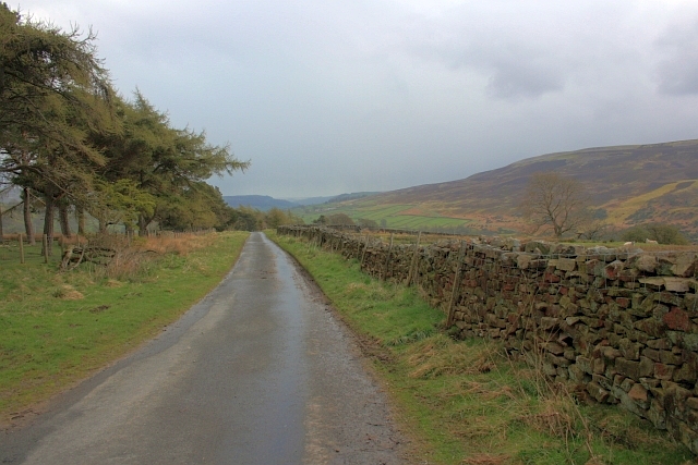
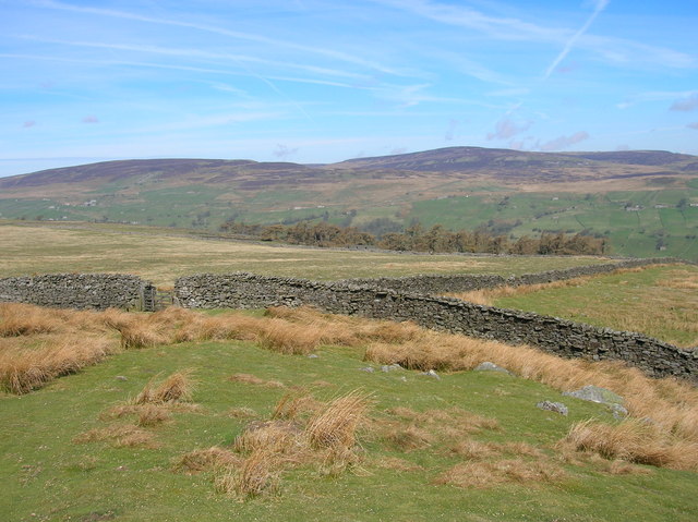
Doll Gill Plantation is a picturesque woodland located in Yorkshire, England. Situated in the heart of the Yorkshire Dales National Park, this enchanting forest covers an area of approximately 100 hectares. The plantation is nestled within the larger expanse of the iconic Yorkshire Dales, renowned for its stunning landscapes and rich biodiversity.
Doll Gill Plantation is known for its diverse range of tree species, including oak, beech, birch, and conifers. The woodland is characterized by its dense canopy, which provides a haven for various bird species, such as woodpeckers, owls, and thrushes. The forest floor is adorned with a plethora of wildflowers, creating a vibrant tapestry of colors during the spring and summer months.
The plantation offers numerous walking trails, allowing visitors to explore its natural beauty. One of the most popular routes is the Doll Gill Circular Walk, which takes you through the heart of the woodland and offers breathtaking views of the surrounding countryside. Along the way, you may encounter wildlife such as deer, rabbits, and squirrels, adding to the charm of the experience.
Doll Gill Plantation is not only a haven for nature lovers but also a significant site for conservation efforts. The forest is actively managed to maintain its ecological balance and support the local wildlife. The plantation also contributes to the carbon sequestration efforts, playing a vital role in combating climate change.
Whether you're seeking a peaceful stroll, an opportunity to observe wildlife, or simply to immerse yourself in nature's tranquility, Doll Gill Plantation is a must-visit destination in Yorkshire.
If you have any feedback on the listing, please let us know in the comments section below.
Doll Gill Plantation Images
Images are sourced within 2km of 54.373591/-2.0024907 or Grid Reference SD9997. Thanks to Geograph Open Source API. All images are credited.


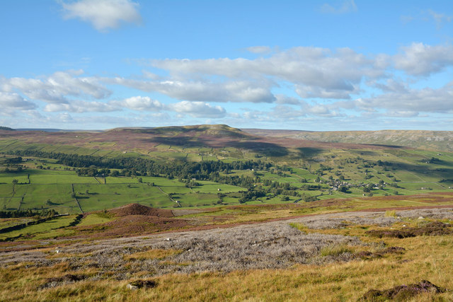
![Birk Park from near Nova Scotia The name 'Birk' often appears in Yorkshire [Birk Crag at Harrogate, Birkenshaw etc] and refers to birch trees, usually the first coloniser of rough moorland. The view is SW across Swaledale towards Blea Barf, the fell on the far side of the valley.](https://s1.geograph.org.uk/geophotos/04/08/94/4089469_67b4c638.jpg)

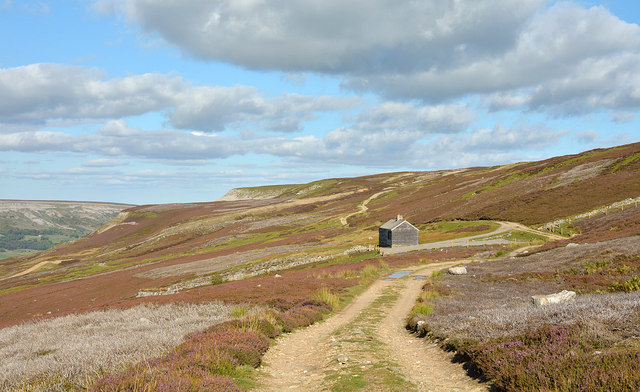

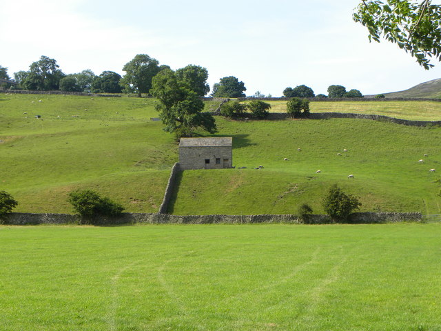
![Field barn near Birk Park Wins the prize as the most easterly of the many [140] barns in Melbecks parish, this one being in splendid condition. It even has gutters and downpipes.](https://s3.geograph.org.uk/geophotos/04/31/51/4315139_8faf1049.jpg)
Doll Gill Plantation is located at Grid Ref: SD9997 (Lat: 54.373591, Lng: -2.0024907)
Division: North Riding
Administrative County: North Yorkshire
District: Richmondshire
Police Authority: North Yorkshire
What 3 Words
///unimpeded.alright.concluded. Near Leyburn, North Yorkshire
Nearby Locations
Related Wikis

Feetham
Feetham is a hamlet opposite Low Row in the Yorkshire Dales, North Yorkshire, England. The origin of the place-name is from Old Norse and means place...

Kearton
Kearton is a hamlet in the Yorkshire Dales, North Yorkshire, England. Kearton is situated near Low Row and Reeth. == References == == External links... ==

Low Row
Low Row is a village in Swaledale, in the Yorkshire Dales, North Yorkshire, England. It lies about 3 miles west of Reeth and is between Healaugh and Gunnerside...

Maiden Castle, North Yorkshire
Maiden Castle is a settlement in Grinton, North Yorkshire (grid reference SE02189808) which probably dates from the Iron Age. It is listed as a Scheduled...
Nearby Amenities
Located within 500m of 54.373591,-2.0024907Have you been to Doll Gill Plantation?
Leave your review of Doll Gill Plantation below (or comments, questions and feedback).