Southbury Plantation
Wood, Forest in Gloucestershire Cotswold
England
Southbury Plantation
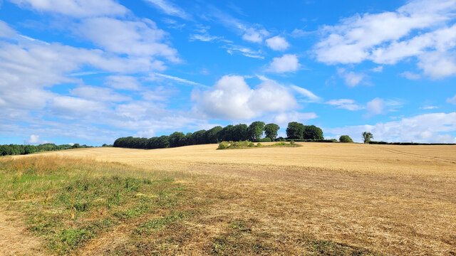
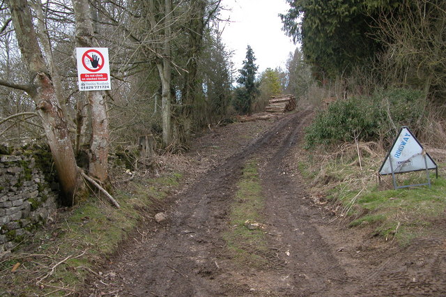
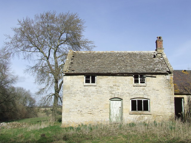
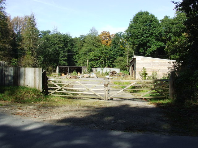
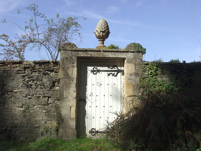
Southbury Plantation is a historic site located in Gloucestershire, England. Situated within the Wood and Forest area, it offers a glimpse into the region's rich cultural and natural heritage. The plantation is nestled amidst picturesque surroundings and showcases the area's abundant woodlands.
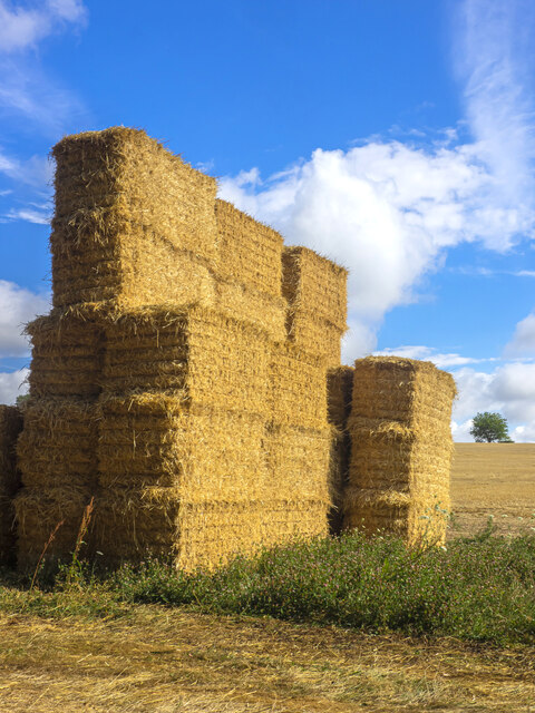
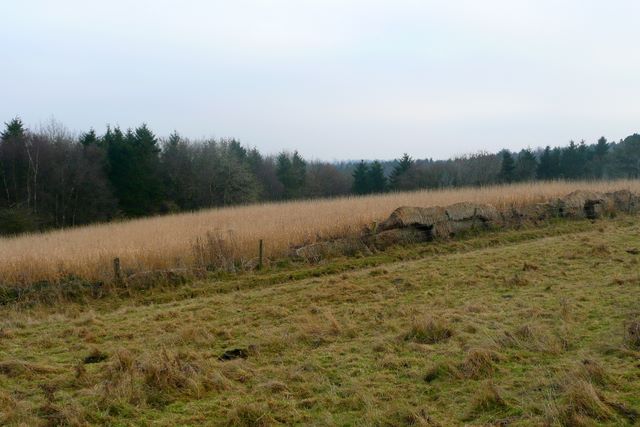
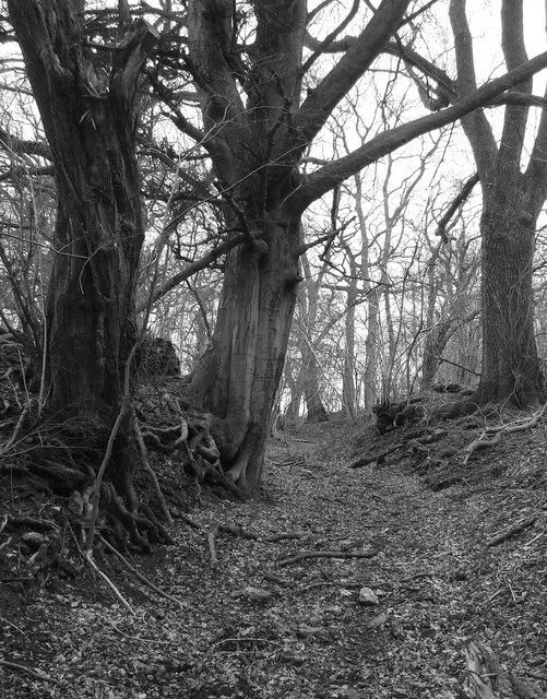
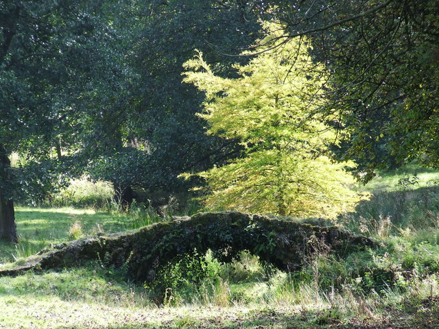
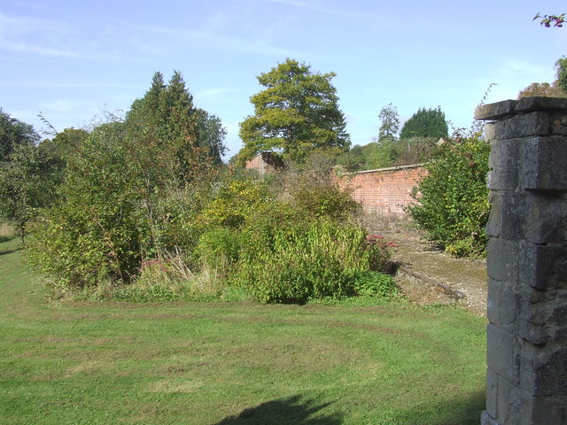
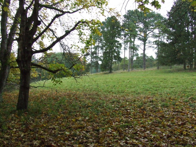
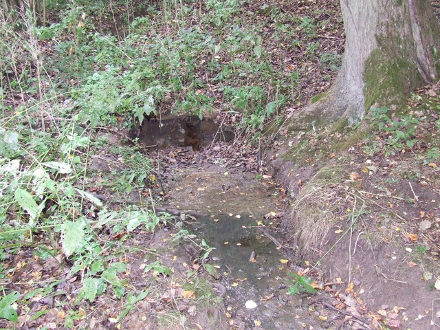
Covering a vast expanse, Southbury Plantation is known for its diverse flora and fauna. The forested landscape is dominated by ancient oak trees, which provide shelter to a variety of wildlife species. Visitors can witness an array of birdlife, including woodpeckers, owls, and various songbirds, making it a popular destination for birdwatching enthusiasts.
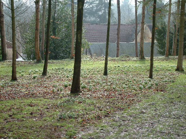
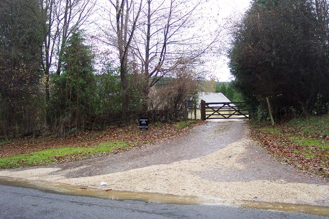
The plantation is also home to a number of walking trails, offering visitors the chance to explore the woodland at their own pace. These paths are well-maintained and provide stunning views of the surrounding countryside. Additionally, the plantation offers guided tours, led by knowledgeable experts who share insights into the history and ecological significance of the area.
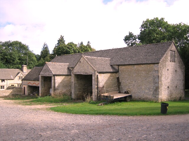
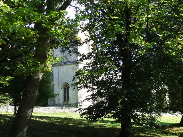
Southbury Plantation has historical significance as well. The remains of a medieval settlement can be found within its boundaries, providing a glimpse into the past. Archaeological investigations have uncovered artifacts and structures that shed light on the lives of the people who once inhabited the area.
Overall, Southbury Plantation in Gloucestershire is a captivating destination that offers a blend of natural beauty and historical significance. Whether visitors are interested in exploring the woodland trails, observing wildlife, or delving into the area's past, this plantation provides a truly enriching experience.
If you have any feedback on the listing, please let us know in the comments section below.
Southbury Plantation Images
Images are sourced within 2km of 51.822085/-2.0097028 or Grid Reference SO9913. Thanks to Geograph Open Source API. All images are credited.


Southbury Plantation is located at Grid Ref: SO9913 (Lat: 51.822085, Lng: -2.0097028)
Administrative County: Gloucestershire
District: Cotswold
Police Authority: Gloucestershire
What 3 Words
///hack.copying.plodded. Near Charlton Kings, Gloucestershire
Nearby Locations
Related Wikis
Colesbourne
Colesbourne is a village and civil parish in the Cotswold district of Gloucestershire, England. The village and parish lies within the Cotswolds, a designated...

Cockleford Marsh
Cockleford Marsh (grid reference SO977133) is a 3.2-hectare (7.9-acre) biological Site of Special Scientific Interest in Gloucestershire, notified in 1991...

Cotswold Hills Geopark
A swathe of the Cotswold Hills almost 60 miles long has been proposed as the Cotswold Hills Geopark. The Geopark project offers educational resources on...
Cotswolds
The Cotswolds ( KOTS-wohldz, KOTS-wəldz) is a region in central-southwest England, along a range of rolling hills that rise from the meadows of the upper...

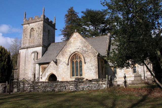
Church of St John the Evangelist, Elkstone
The Anglican Church of St John the Evangelist at Elkstone in the Cotswold District of Gloucestershire, England was built in the 12th century. It is a grade...

Cowley, Gloucestershire
Cowley is a village and civil parish in the Cotswold District of Gloucestershire, England. It lies between the A417 and A435 roads between Cheltenham...

Elkstone
Elkstone is a village and civil parish in the English county of Gloucestershire. In the 2001 United Kingdom census, the parish had a population of 203...

Coberley
Coberley is a village and civil parish in the Cotswold District of Gloucestershire in England, 4 miles (6.4 km) south of Cheltenham. It lies at the confluence...
Nearby Amenities
Located within 500m of 51.822085,-2.0097028Have you been to Southbury Plantation?
Leave your review of Southbury Plantation below (or comments, questions and feedback).