Colesbourne
Settlement in Gloucestershire Cotswold
England
Colesbourne
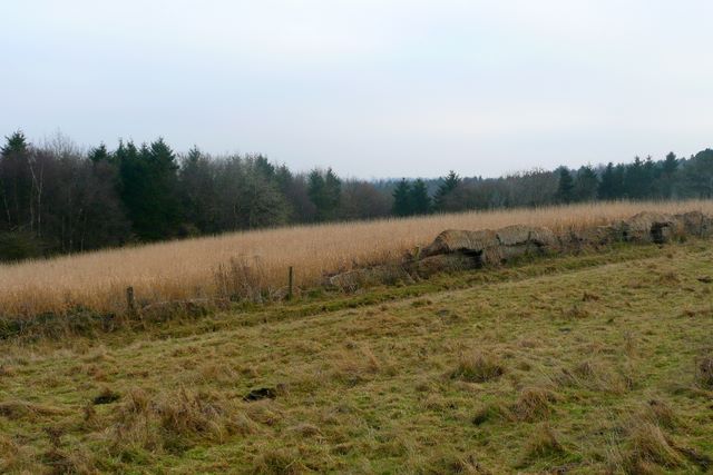
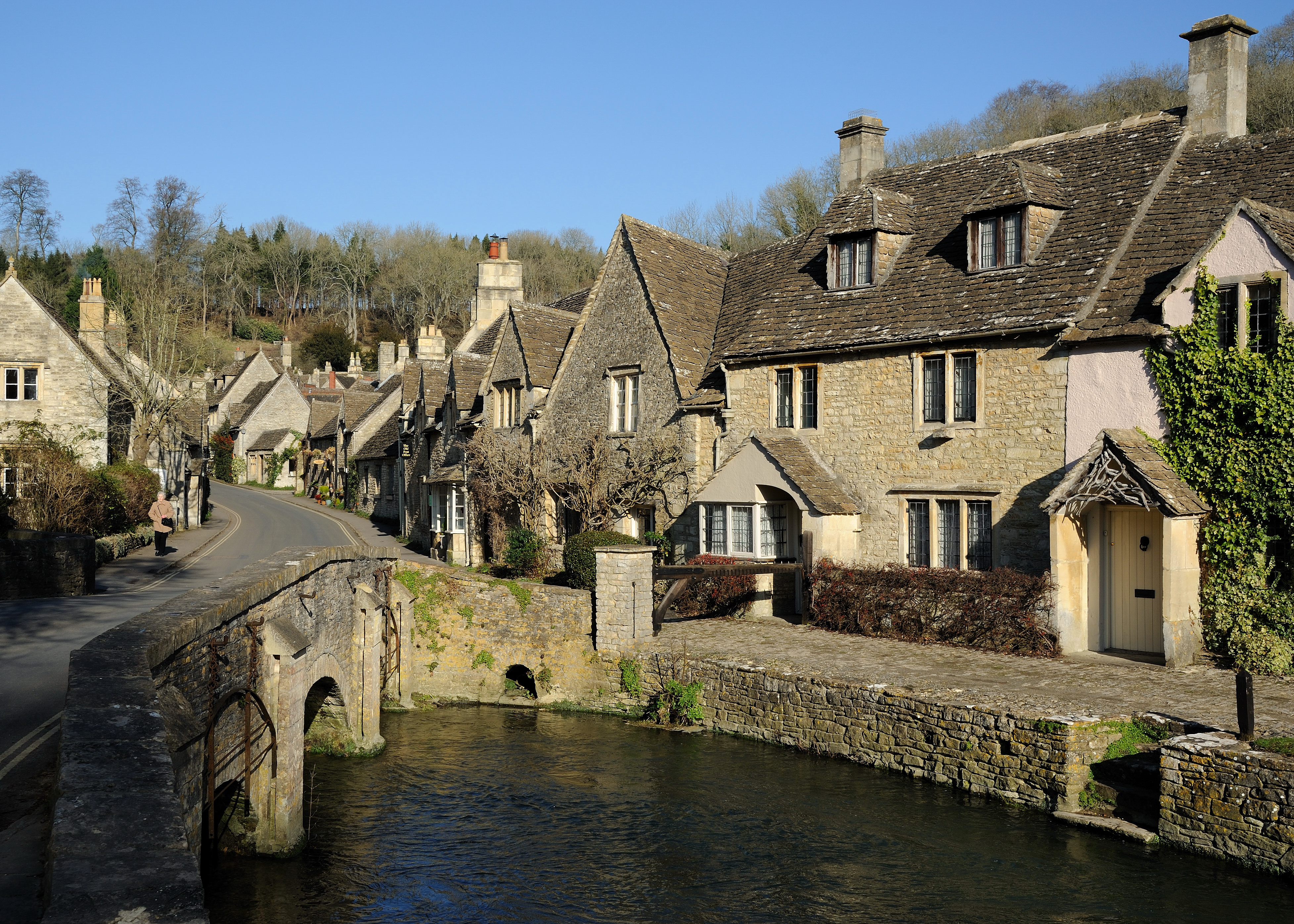
Colesbourne is a small village located in the county of Gloucestershire, England. Situated in the southern part of the county, it lies approximately 9 miles east of Cheltenham and 15 miles west of Cirencester. The village is nestled within the beautiful Cotswolds Area of Outstanding Natural Beauty, known for its picturesque landscapes and charming villages.
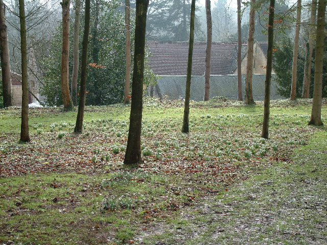
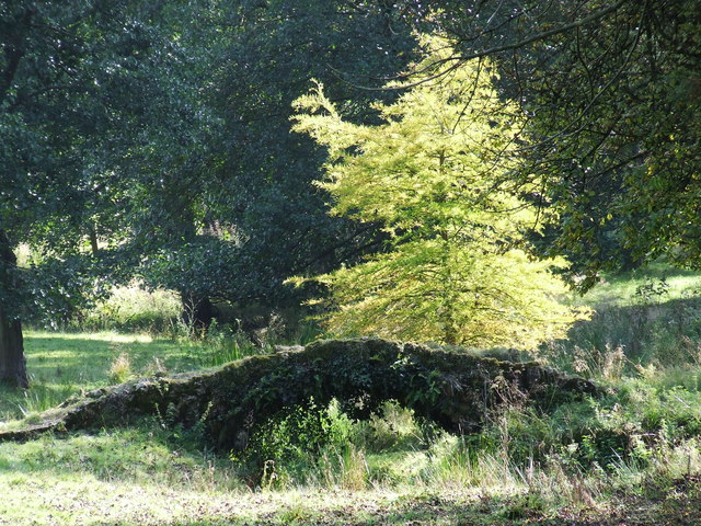
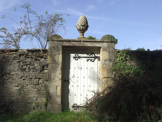
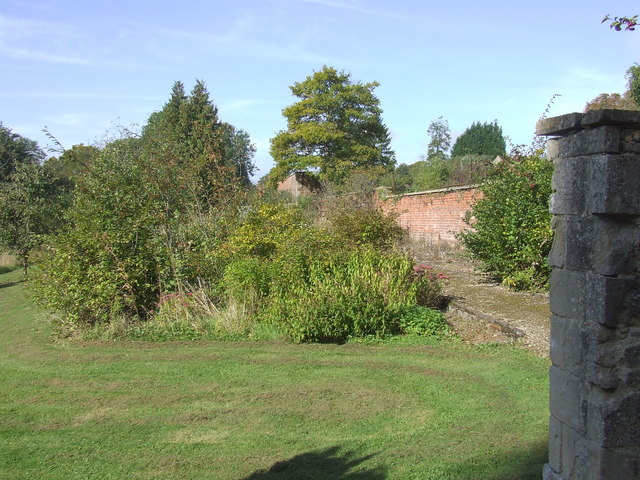
Colesbourne is perhaps best known for its stunning gardens, which are home to one of the largest collections of snowdrops in the country. The Colesbourne Park Snowdrop Gardens attract visitors from far and wide during the winter months, when the delicate white flowers bloom and create a breathtaking display. The gardens also feature a variety of other plants and trees, making it a perfect spot for nature enthusiasts and garden lovers alike.
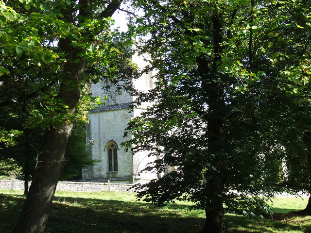
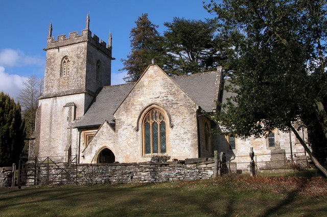
In addition to its natural beauty, Colesbourne boasts a rich history. The village is home to the 13th-century Colesbourne Church, a Grade I listed building with architectural significance. The church's striking features, including its Norman tower and stained glass windows, make it a notable landmark in the area.
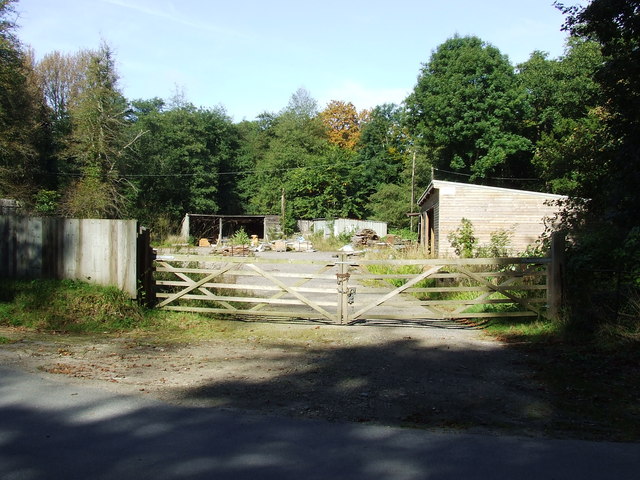
Despite its small size, Colesbourne offers a range of amenities for both residents and visitors. The village has a local pub, The Colesbourne Inn, which serves traditional food and beverages, providing a welcoming atmosphere for locals and tourists alike. Colesbourne also benefits from its close proximity to larger towns and cities, ensuring easy access to a wider range of services and facilities.
Overall, Colesbourne is a charming village that combines natural beauty with historical significance, making it a popular destination for those seeking a peaceful retreat in the heart of Gloucestershire.
If you have any feedback on the listing, please let us know in the comments section below.
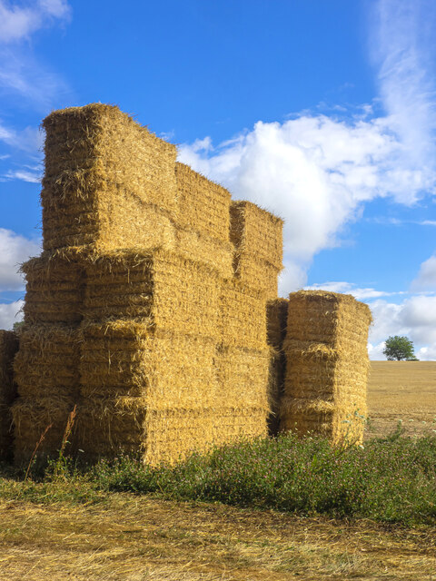
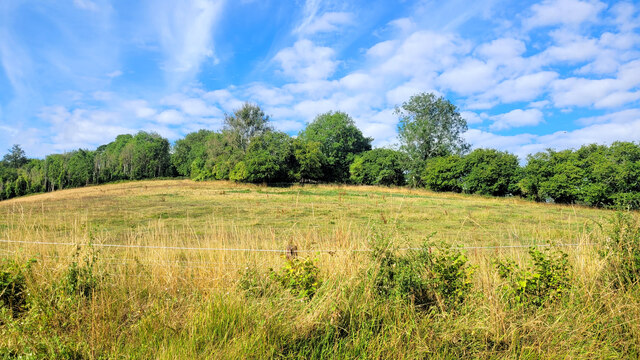
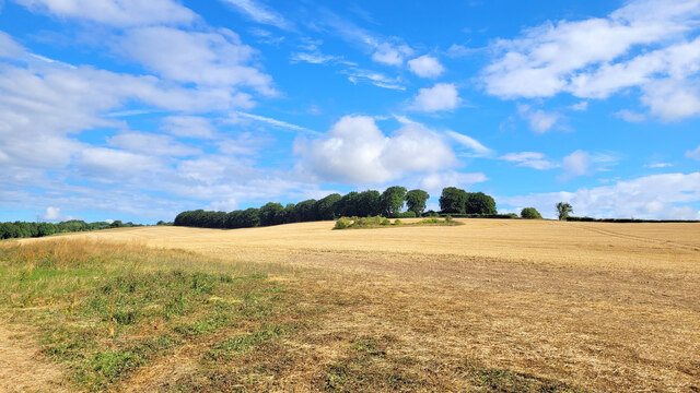
Colesbourne Images
Images are sourced within 2km of 51.816701/-2.01404 or Grid Reference SO9913. Thanks to Geograph Open Source API. All images are credited.


Colesbourne is located at Grid Ref: SO9913 (Lat: 51.816701, Lng: -2.01404)
Administrative County: Gloucestershire
District: Cotswold
Police Authority: Gloucestershire
What 3 Words
///stuffy.worlds.chest. Near Charlton Kings, Gloucestershire
Nearby Locations
Related Wikis
Colesbourne
Colesbourne is a village and civil parish in the Cotswold district of Gloucestershire, England. The village and parish lies within the Cotswolds, a designated...

Cockleford Marsh
Cockleford Marsh (grid reference SO977133) is a 3.2-hectare (7.9-acre) biological Site of Special Scientific Interest in Gloucestershire, notified in 1991...

Cotswold Hills Geopark
A swathe of the Cotswold Hills almost 60 miles long has been proposed as the Cotswold Hills Geopark. The Geopark project offers educational resources on...
Cotswolds
The Cotswolds ( KOTS-wohldz, KOTS-wəldz) is a region in central-southwest England, along a range of rolling hills that rise from the meadows of the upper...

Church of St John the Evangelist, Elkstone
The Anglican Church of St John the Evangelist at Elkstone in the Cotswold District of Gloucestershire, England was built in the 12th century. It is a grade...

Elkstone
Elkstone is a village and civil parish in the English county of Gloucestershire. In the 2001 United Kingdom census, the parish had a population of 203...

Cowley, Gloucestershire
Cowley is a village and civil parish in the Cotswold District of Gloucestershire, England. It lies between the A417 and A435 roads between Cheltenham...

Five Mile House, Duntisbourne Abbots
The Five Mile House is a former pub on Old Gloucester Road, Duntisbourne Abbots, Gloucestershire, England. It was built in the 17th century and is grade...
Nearby Amenities
Located within 500m of 51.816701,-2.01404Have you been to Colesbourne?
Leave your review of Colesbourne below (or comments, questions and feedback).