Nap Coppice

Wood, Forest in Gloucestershire Wychavon

England

Nap Coppice

Bredon Hill crest path, 13 Gradual descent south-east towards Ashton.
The distinctive outline of Dumbleton/Alderton Hill can be seen clearly as well as the Cotswold crest beyond.
This picture represents the completion of Hectad SO93 by the photographer, ie. a Geograph in every one of the 100 squares.
Bredon Hill crest path, 13 Credit: Jonathan Billinger

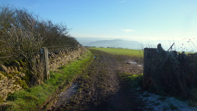
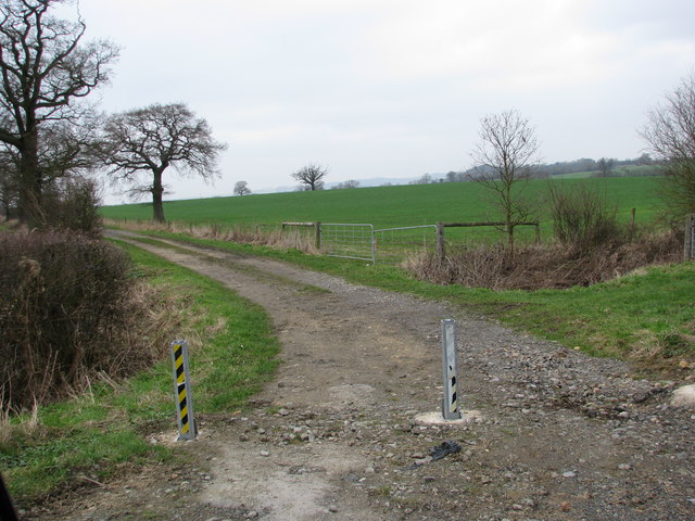
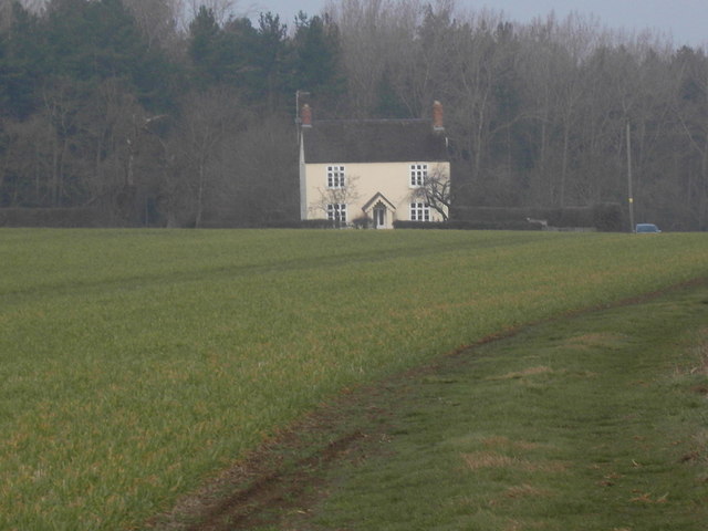
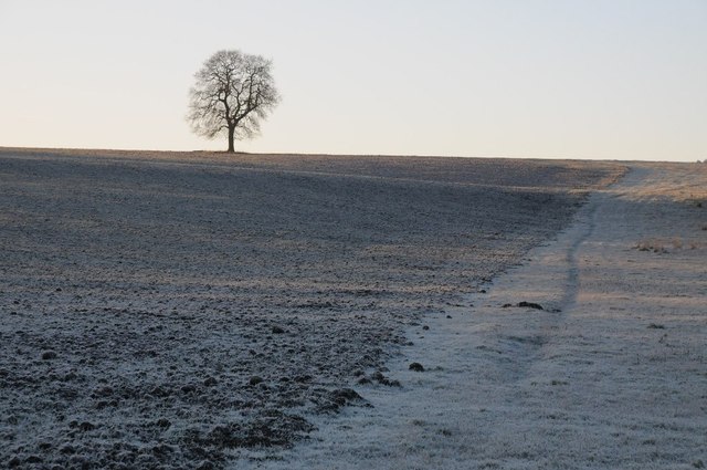
Nap Coppice is a charming woodland area located in the county of Gloucestershire, England. Situated just outside the village of Nap, the coppice covers an area of approximately 50 acres and is renowned for its natural beauty and rich biodiversity.

The wood is predominantly composed of various deciduous tree species, including oak, beech, and ash, which create a picturesque and serene atmosphere. The dense canopy provides ample shade during the summer months, making it a popular destination for nature enthusiasts and hikers seeking respite from the sun.

Nap Coppice has a long history and has been managed as a traditional coppice woodland for centuries. Coppicing is a traditional method of woodland management, involving the cutting down of trees at the base to encourage regrowth and sustain a continuous supply of timber. This practice has helped maintain the health and vitality of the wood, promoting diversity and supporting a wide range of flora and fauna.

The woodland is home to a plethora of wildlife, including various bird species such as woodpeckers, owls, and warblers. Mammals such as badgers, foxes, and deer can also be spotted roaming the forest floor. In spring, the ground is adorned with a vibrant display of wildflowers, including bluebells, primroses, and wood anemones.

Nap Coppice offers a tranquil escape from the hustle and bustle of everyday life, providing visitors with the opportunity to immerse themselves in the wonders of nature. Whether it's a leisurely stroll, birdwatching, or simply enjoying a picnic amidst the trees, Nap Coppice is a haven for those seeking solace in the beauty of the natural world.

If you have any feedback on the listing, please let us know in the comments section below.
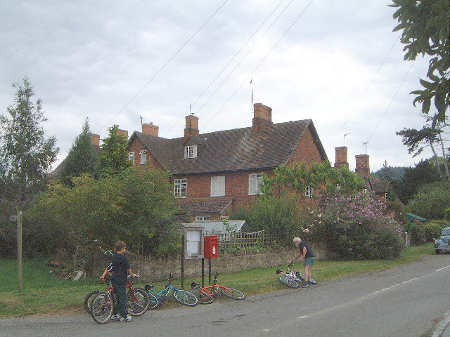
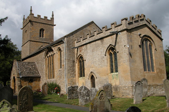
Nap Coppice Images

Images are sourced within 2km of 52.045263/-2.0099857 or Grid Reference SO9938. Thanks to Geograph Open Source API. All images are credited.

Bredon Hill crest path, 13 Gradual descent south-east towards Ashton.
The distinctive outline of Dumbleton/Alderton Hill can be seen clearly as well as the Cotswold crest beyond.
This picture represents the completion of Hectad SO93 by the photographer, ie. a Geograph in every one of the 100 squares.
Bredon Hill crest path, 13
Gradual descent south-east towards Ashton. The distinctive outline of Dumbleton/Alderton Hill can be seen clearly as well as the Cotswold crest beyond. This picture represents the completion of Hectad SO93 by the photographer, ie. a Geograph in every one of the 100 squares.
Track to Furzehill Farm
Furzehill Farm farmhouse
Tree in a frozen landscape A tree on the horizon in a frosted landscape near the hamlet of Kersoe.
Tree in a frozen landscape
A tree on the horizon in a frosted landscape near the hamlet of Kersoe.
Kersoe Barracks These cottages in the north of the grid were originally going to be super stables for a wealthy land owner. He ran out of cash before they were complete.
Kersoe Barracks
These cottages in the north of the grid were originally going to be super stables for a wealthy land owner. He ran out of cash before they were complete.
Grafton Post and telephone boxes in Grafton on the east side of Bredon Hill
Grafton
Post and telephone boxes in Grafton on the east side of Bredon Hill
Ashton-Under-Hill Church Ashton-under-Hill church is dedicated to St Barbara, here it is viewed from the south-east.
Ashton-Under-Hill Church
Ashton-under-Hill church is dedicated to St Barbara, here it is viewed from the south-east.
The Star Inn, Ashton-Under-Hill
The Cross and Lychgate, Ashton-Under-Hill Fourteenth century cross and sundial with the church's lych gate entrance.
The Cross and Lychgate, Ashton-Under-Hill
Fourteenth century cross and sundial with the church's lych gate entrance.
The Cross at Ashton-Under-Hill The medieval cross and sundial in Ashton-under-Hill date from the fourteenth century.
The Cross at Ashton-Under-Hill
The medieval cross and sundial in Ashton-under-Hill date from the fourteenth century.
Ashton-under Hill, North End Looking south along the road from Elmley Castle, the Free Church on the right.
Ashton-under Hill, North End
Looking south along the road from Elmley Castle, the Free Church on the right.
Wychavon Way on Bredon Hill Looking north. 
Notice the very stony ground in the ploughed field.
Wychavon Way on Bredon Hill
Looking north. Notice the very stony ground in the ploughed field.
Dry Stone Wall, Bredon Hill Looking down in a NE direction towards Kersoe from the Wychavon Way.
Dry Stone Wall, Bredon Hill
Looking down in a NE direction towards Kersoe from the Wychavon Way.
Cotswold Stone Barn, Bredon Hill Beautiful honey coloured stone threshing barn. Platforms nearby suggest this is all that now remains of a farm.
Cotswold Stone Barn, Bredon Hill
Beautiful honey coloured stone threshing barn. Platforms nearby suggest this is all that now remains of a farm.
Holcomb Nap trig
Holcomb Nap trig
Junction, Ashton-under-Hill Main road junction in the village
Junction, Ashton-under-Hill
Main road junction in the village
Haring away Heading for the cover of the trees of Upper Roughs. It had been basking in the grass, lulling me into a false sense of security, until I got my camera out, then they always decide to run!
Haring away
Heading for the cover of the trees of Upper Roughs. It had been basking in the grass, lulling me into a false sense of security, until I got my camera out, then they always decide to run!
Periwinkles in the verge
Show me another place!

Nap Coppice is located at Grid Ref: SO9938 (Lat: 52.045263, Lng: -2.0099857)

Administrative County: Worcestershire

District: Wychavon

Police Authority: West Mercia

What 3 Words

///glorified.dishes.turkeys. Near Evesham, Worcestershire

Related Wikis

Ashton under Hill

Ashton under Hill is a village and civil parish in the Wychavon district of Worcestershire in England. It is situated at the foot of Bredon Hill. According...

Ashton-under-Hill railway station

Ashton-under-Hill railway station was a station on the Midland Railway between Great Malvern and Evesham. It served Ashton under Hill in Worcestershire...

Kersoe

Kersoe is a hamlet in Worcestershire, England. It is at the foot of Bredon Hill an area of outstanding natural beauty.

Grafton, Worcestershire

Grafton is a hamlet in Worcestershire, England, situated between the villages of Beckford and Ashton under Hill, south-east of Bredon Hill. The name Grafton...

Elmley Castle (castle)

Elmley Castle was a late 11th-century earthwork and timber castle which received stone additions in the 12th and possibly 13th centuries, located 0.5 miles...

Sedgeberrow

Sedgeberrow is a village and civil parish in the Wychavon district of Worcestershire, England, about 3 miles (4.8 km) south of Evesham. It stands beside...

Elmley Castle

Elmley Castle is a village and civil parish in Worcestershire, in England, United Kingdom. It is located on the north side of Bredon Hill 3 miles south...

Netherton, Worcestershire

Netherton is a hamlet with population of 50 living in 20 households. It is part of the civil parish of Elmley Castle, Bricklehampton & Netherton in...

Nearby Amenities

Located within 500m of 52.045263,-2.0099857
Holloway Farm House
Addr City: Evesham
Addr Postcode: WR11 7SN
Addr Street: Elmley Road
Tourism: guest_house
Url: http://www.hollowayfarmhouse.co.uk/
Lat/Long: 52.041803/-2.0058288
Turning Circle
Lat/Long: 52.0457698/-2.0063659
Cottons Lane
Naptan AtcoCode: 2000G073101
Naptan Bearing: N
Naptan BusStopType: CUS
Naptan CommonName: Cottons Lane
Naptan Crossing: Cottons Lane
Naptan Indicator: Adj
Naptan NaptanCode: wocgmtwp
Naptan Street: Elmley Road
Naptan Verified: no
Source: naptan_import
Lat/Long: 52.0425197/-2.005453
Cornfield Way
Naptan AtcoCode: 2000G073102
Naptan Bearing: NW
Naptan BusStopType: CUS
Naptan CommonName: Cornfield Way
Naptan Crossing: Cornfield Way
Naptan Indicator: adj
Naptan NaptanCode: wocgmtwt
Naptan Street: Elmley Road
Naptan Verified: no
Source: naptan_import
Lat/Long: 52.0458464/-2.0036016
Bus Stop
Wood Lane
Bus: yes
Naptan AtcoCode: 2000G671004
Naptan Bearing: SW
Naptan CommonName: Wood Lane
Naptan Crossing: Wood Lane
Naptan Indicator: opp
Naptan NaptanCode: wocdpjgp
Naptan Street: Elmeley Road
Naptan Verified: no
Public Transport: platform
Source: naptan_import
Lat/Long: 52.0453069/-2.0043744
Post Box
Collection Times: Mo-Fr 17:00; Sa 10:30
Post Box Type: lamp
Ref: WR11 68
Royal Cypher: EIIR
Royal Cypher Wikidata: Q33102113
Lat/Long: 52.0442989/-2.0050612
Barrier: stile
Lat/Long: 52.0484025/-2.0059742
Barrier: stile
Foot: yes
Lat/Long: 52.0423596/-2.0085578
Barrier: stile
Lat/Long: 52.0474154/-2.0081604
Ashton Under Hill North
Poles: bipole
Power: pole
Source: bing
Transformer: distribution
Voltage Primary: 11000
Lat/Long: 52.0432171/-2.0040674
Barrier: stile
Foot: yes
Lat/Long: 52.0461929/-2.0058403
HE Ref: 148476
Barrier: gate_piers
Historic: yes
Listed Status: Grade II
Source Listed Status: English Heritage
Lat/Long: 52.0424762/-2.0052938
Post Office
Ashton Under Hill Mobile Post Office Service
Addr City: Evesham
Addr Housename: Car Park Outside Free Church
Addr Postcode: WR11 7SJ
Addr Street: Elmley Road
Addr Village: Ashton Under Hill
Brand: Post Office
Brand Wikidata: Q1783168
Opening Hours: Tu 12:30-13:30
Ref Pol Id: 136431
Source: pol_branch_list_2018-01
Website: https://www.postoffice.co.uk/branch-finder/7142471/ashton-under-hill-mobile-service
Lat/Long: 52.0434897/-2.0053354
Location Transition: yes
Power: pole
Lat/Long: 52.0448952/-2.0034814
Power: pole
Lat/Long: 52.0444564/-2.0033339
Power: transformer
Transformer: distribution
Voltage Primary: 11000
Lat/Long: 52.042866/-2.0079929
Shaw Green
Power: pole
Transformer: distribution
Voltage Primary: 11000
Lat/Long: 52.0421599/-2.0119672
Location Transition: yes
Power: pole
Lat/Long: 52.0446395/-2.0116192
Power: pole
Lat/Long: 52.0453909/-2.0113228
Power: pole
Lat/Long: 52.0456606/-2.0106509
Power: pole
Lat/Long: 52.0456532/-2.0094949
Power: pole
Lat/Long: 52.0456367/-2.0084864
Power: pole
Lat/Long: 52.0479301/-2.0059256
Power: pole
Lat/Long: 52.0472513/-2.0059302
Gorse Hill
Power: pole
Transformer: distribution
Voltage Primary: 11000
Lat/Long: 52.0466529/-2.0059041
Cornfield Way
Power: transformer
Transformer: distribution
Voltage Primary: 11000
Lat/Long: 52.0453123/-2.0030479
The data included in this document is from www.openstreetmap.org. The data is made available under ODbL.

Have you been to Nap Coppice?

Leave your review of Nap Coppice below (or comments, questions and feedback).