Longside Plantation
Wood, Forest in Cheshire High Peak
England
Longside Plantation
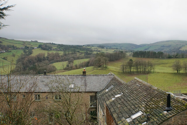
Longside Plantation is a picturesque woodland area located in Cheshire, England. Spread across a vast expanse, it is known for its rich biodiversity and natural beauty. The plantation is situated near the village of Longside, which is nestled in the heart of the Cheshire countryside.
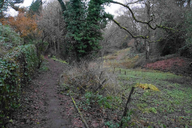
Covering an area of approximately 200 hectares, Longside Plantation is predominantly composed of dense forests and woodlands. The plantation is home to a diverse range of tree species, including oak, beech, and birch, which create a stunning canopy overhead. The woodland floor is adorned with an array of wildflowers, providing a burst of color during the spring and summer months.
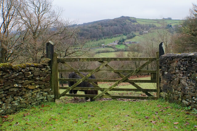
Longside Plantation is a haven for wildlife enthusiasts, offering a sanctuary for various animal species. Deer, foxes, and badgers can often be spotted roaming the woodland, while a variety of birds, such as woodpeckers, owls, and finches, can be seen and heard throughout the year.
The plantation also boasts a number of walking trails and paths, providing visitors with the opportunity to explore the area at their own pace. These trails wind through the woodland, offering stunning views of the surrounding countryside and providing a serene environment for walking, jogging, or simply immersing oneself in nature.
Longside Plantation is a beloved destination for locals and tourists alike, offering a tranquil escape from the hustle and bustle of everyday life. Its natural beauty, diverse wildlife, and well-maintained trails make it a must-visit location for nature enthusiasts and those seeking solace in the great outdoors.
If you have any feedback on the listing, please let us know in the comments section below.
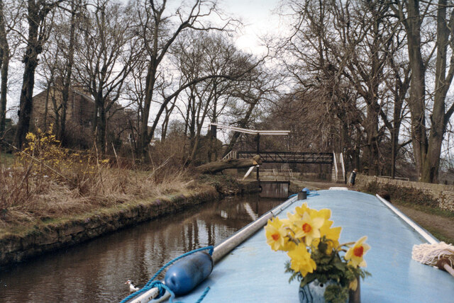
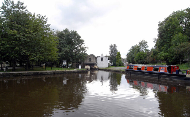
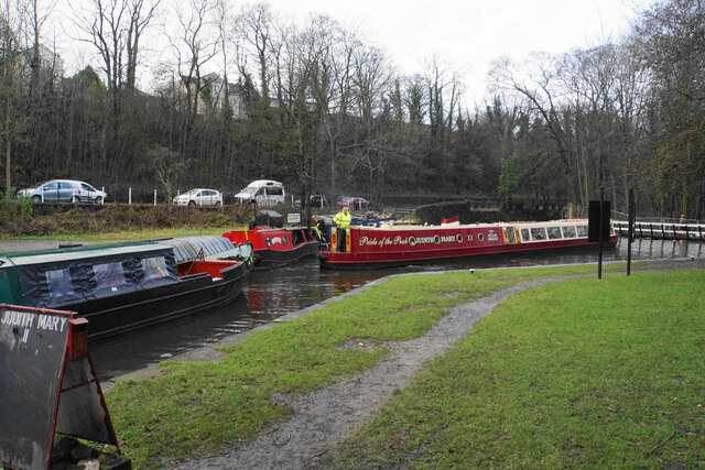
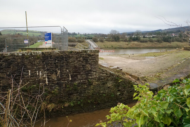
Longside Plantation Images
Images are sourced within 2km of 53.338836/-2.010984 or Grid Reference SJ9982. Thanks to Geograph Open Source API. All images are credited.


Longside Plantation is located at Grid Ref: SJ9982 (Lat: 53.338836, Lng: -2.010984)
Administrative County: Derbyshire
District: High Peak
Police Authority: Derbyshire
What 3 Words
///estuaries.windpipe.bits. Near Whaley Bridge, Derbyshire
Nearby Locations
Related Wikis
Furness Vale
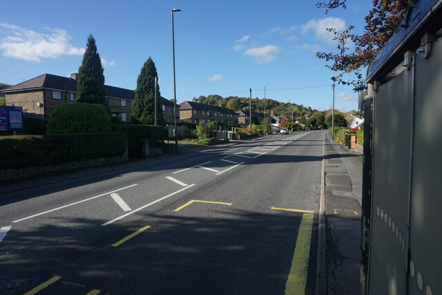
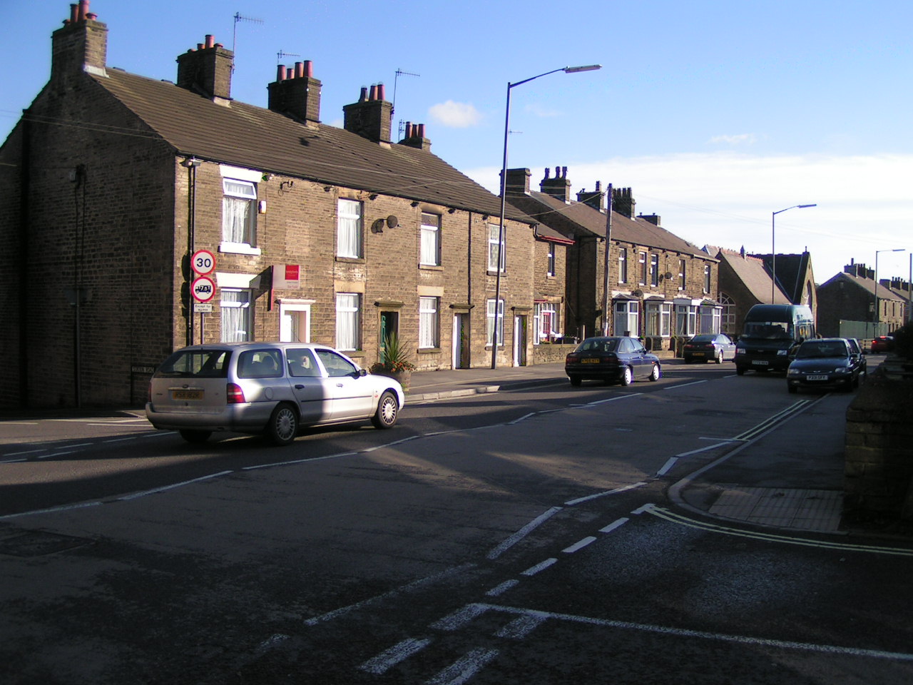
Furness Vale is a village in the High Peak district of Derbyshire, England, between New Mills and Whaley Bridge. It is bisected by the A6 road and the...
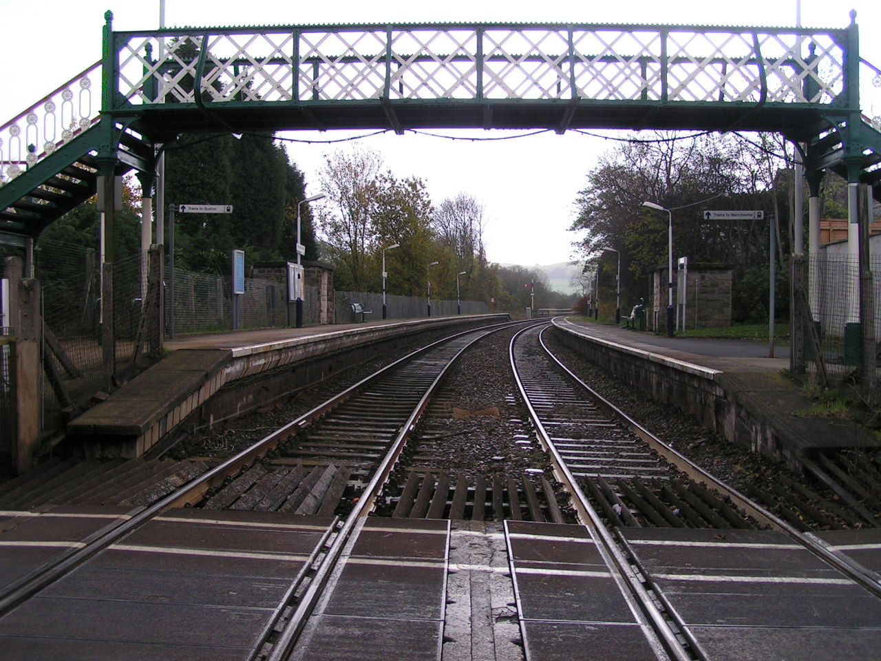
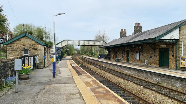
Furness Vale railway station
Furness Vale railway station in Derbyshire, England, is 15+1⁄4 miles (24.5 km) south east of Manchester Piccadilly on the Manchester to Buxton line and...

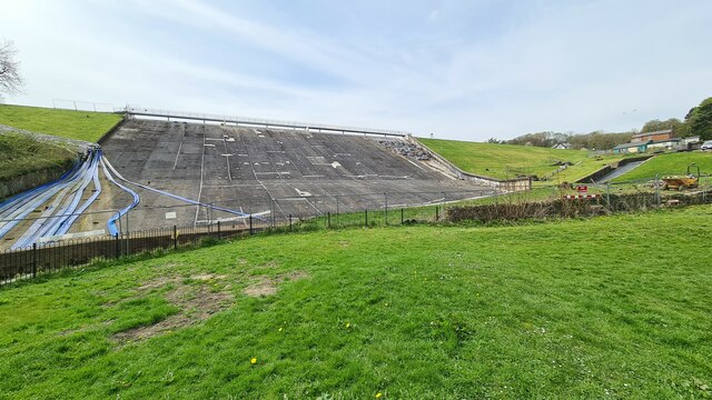
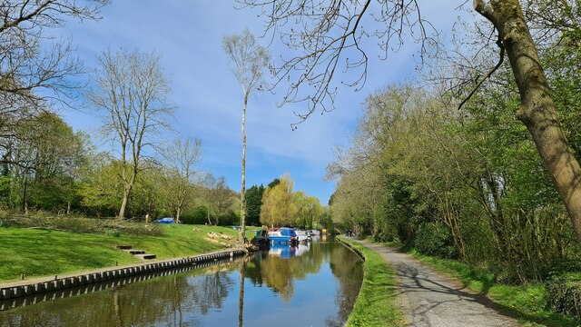
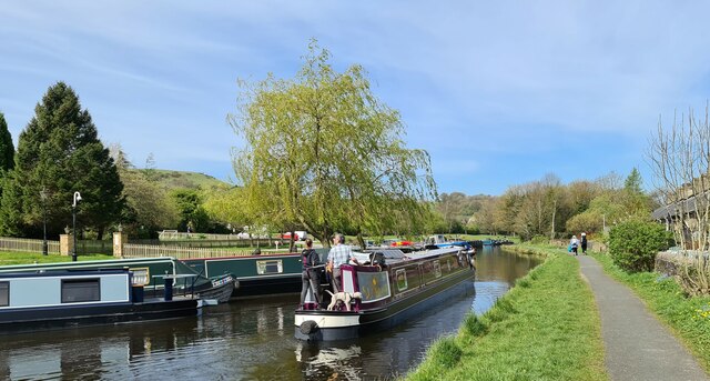
Toddbrook Reservoir
Toddbrook Reservoir, a feeder for the Peak Forest Canal, opened in 1838. It is above the town of Whaley Bridge in the High Peak area of Derbyshire, England...

Whaley Bridge railway station
Whaley Bridge railway station serves the Peak District town of Whaley Bridge in Derbyshire, England. The station is on the Manchester-Buxton Line 16+1...

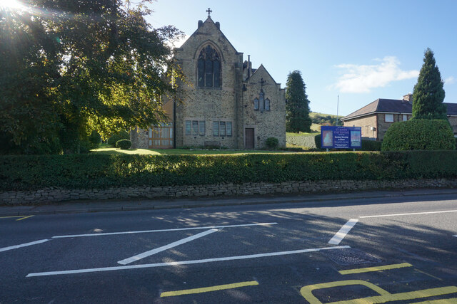
Whaley Bridge
Whaley Bridge () is a town and civil parish in the High Peak district of Derbyshire, England. It is situated on the River Goyt, 16 miles (26 km) south...
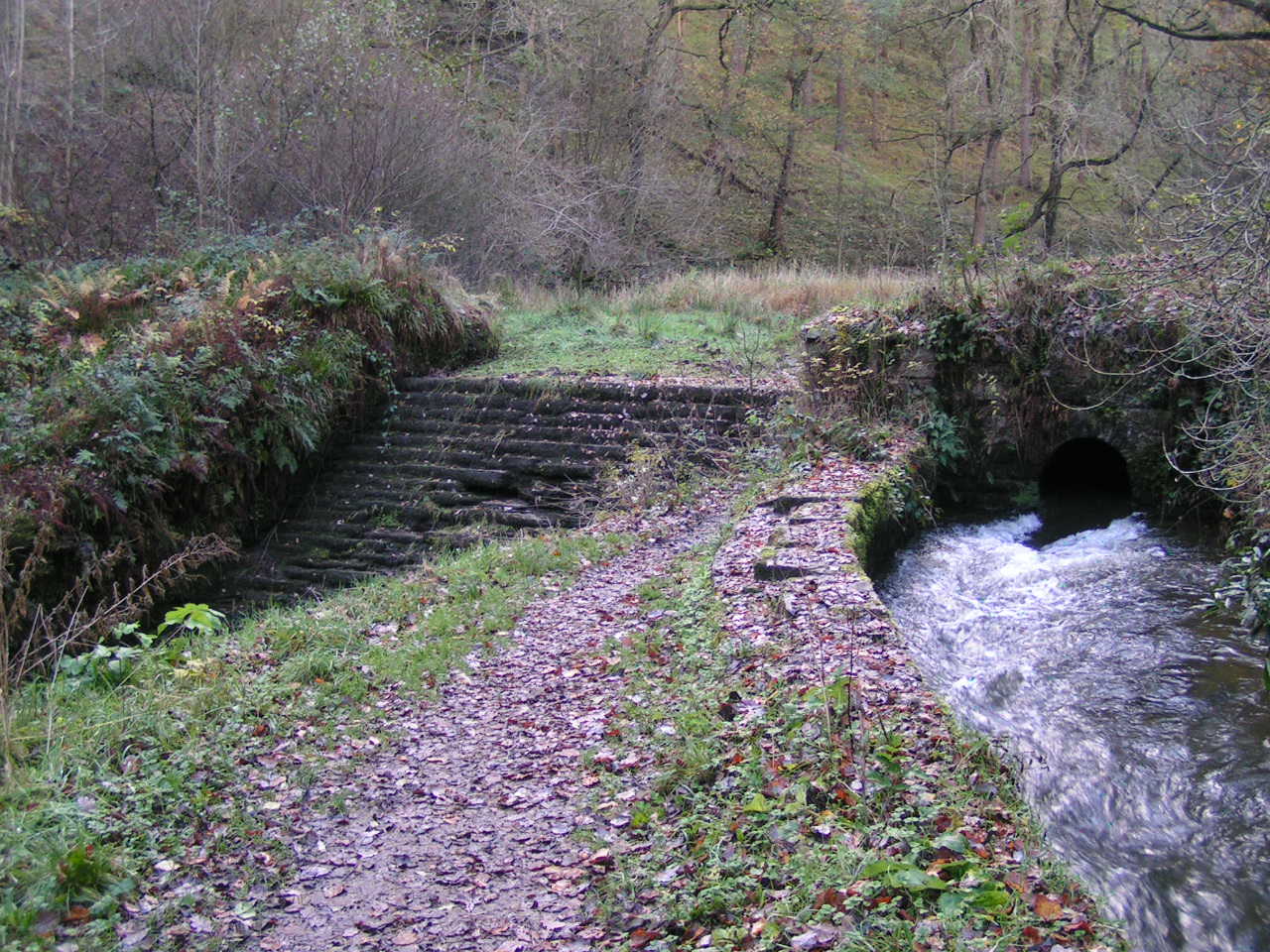
Todd Brook
Todd Brook is a small river running through the English counties of Cheshire and Derbyshire. The Brook rises beneath Shining Tor on the border between...

Bollinhurst Reservoir
The Bollinhurst Reservoir was constructed in Lyme Park in 1872 for the Stockport District Waterworks Company. At the time of the First World War, it had...

Buxton Road Bridge
Buxton Road Bridge is a railway bridge over the A5004 road in Whaley Bridge, in the High Peak district, in the county of Derbyshire, England. It carries...
Nearby Amenities
Located within 500m of 53.338836,-2.010984Have you been to Longside Plantation?
Leave your review of Longside Plantation below (or comments, questions and feedback).