Hollins Wood
Wood, Forest in Staffordshire Staffordshire Moorlands
England
Hollins Wood
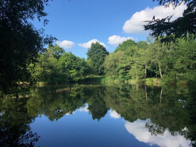
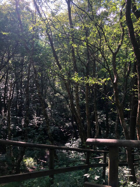
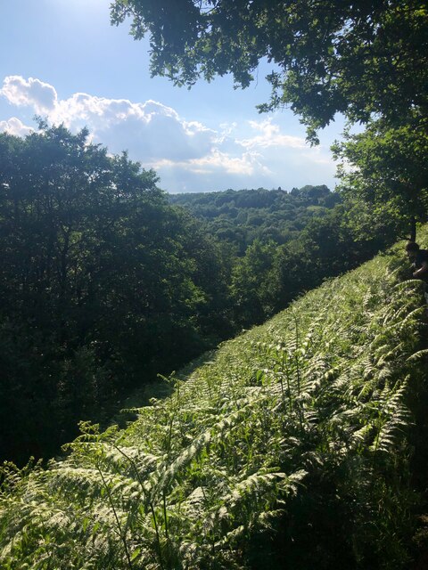
Hollins Wood is a picturesque woodland located in Staffordshire, England. Covering an area of approximately 50 hectares, this ancient forest is a haven for nature enthusiasts and outdoor lovers alike. Situated near the village of Hollinsclough, the wood is easily accessible and attracts visitors from both near and far.
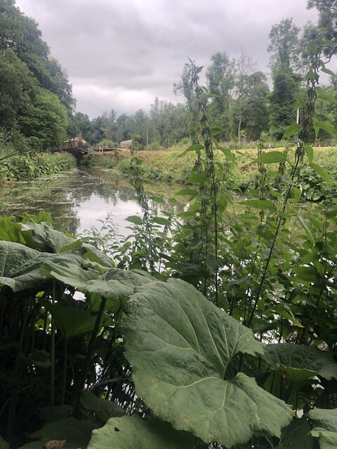
The woodland itself is predominantly made up of native broadleaf trees, including oak, beech, and birch. This rich diversity of tree species creates a lush and vibrant environment, especially during the spring and summer months when the canopy is in full bloom. The forest floor is adorned with a variety of wildflowers, including bluebells and primroses, adding splashes of color to the already enchanting landscape.
Hollins Wood is also home to a wide range of wildlife. Birdwatchers can spot species such as woodpeckers, owls, and various songbirds, while lucky visitors may even catch a glimpse of deer or foxes among the trees. The wood serves as an important habitat for these creatures, providing them with food, shelter, and a safe breeding ground.
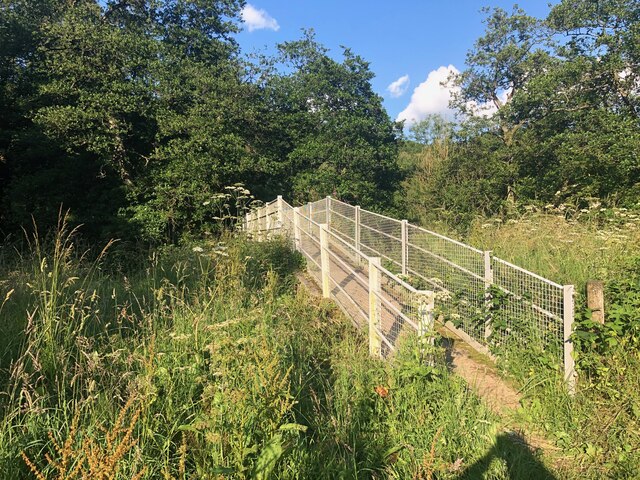
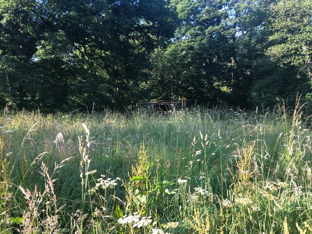
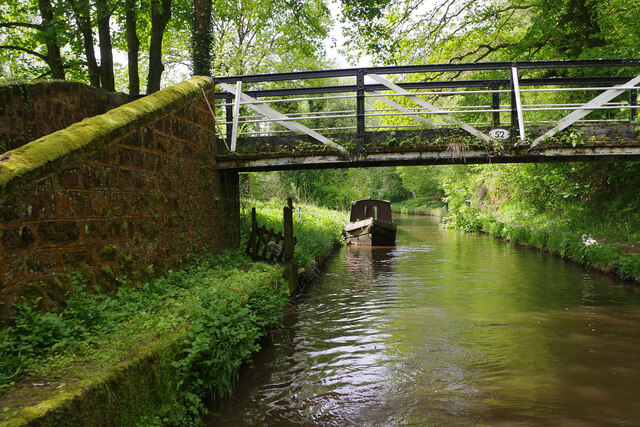
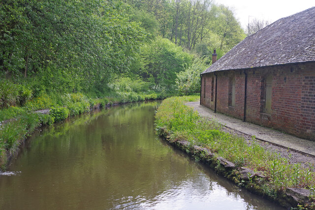
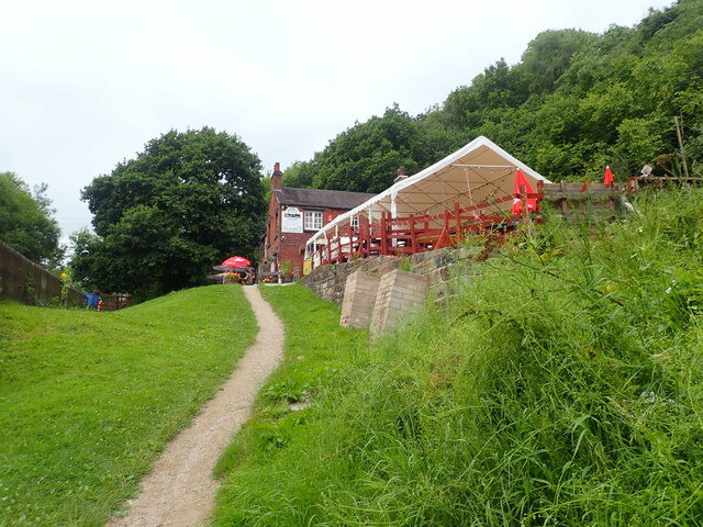
The wood is crisscrossed with well-maintained footpaths and trails, allowing visitors to explore its beauty at their own pace. Whether it's a leisurely stroll or a more challenging hike, Hollins Wood offers something for everyone. Along the way, visitors can enjoy breathtaking views, tranquil streams, and occasional glimpses of the surrounding countryside.
Overall, Hollins Wood is a treasured natural gem in Staffordshire, offering visitors a chance to immerse themselves in the beauty of the English countryside. With its diverse flora and fauna, peaceful ambiance, and well-maintained trails, it is a place that truly allows people to reconnect with nature.
If you have any feedback on the listing, please let us know in the comments section below.
Hollins Wood Images
Images are sourced within 2km of 53.027613/-2.0107985 or Grid Reference SJ9947. Thanks to Geograph Open Source API. All images are credited.
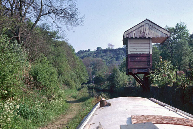

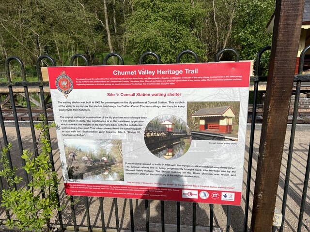
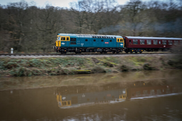
![Consall Station from the Caldon Canal towpath A preserved railway line near Leek in Staffordshire, running from Froghall up the valley to Cheddleton with one intermediate stop at Consall, and (since 2011) on an extension to a former quarry at Cauldon Low, where as of 2012 there is no station. The society has plans to connect to the national network at Stoke-on-Trent.
The lines were originally constructed by the North Staffordshire Railway (the &quot;Knotty&quot;). According to one writer, &quot;the buildings on the Churnet Valley line are of local stone, straightforwardly neo-Tudor, and effective&quot; [Lloyd &amp; Insall, &quot;Railway Station Architecture&quot;, David &amp; Charles 1978, p.17].](https://s1.geograph.org.uk/geophotos/07/51/43/7514373_0f9ef3fb.jpg)
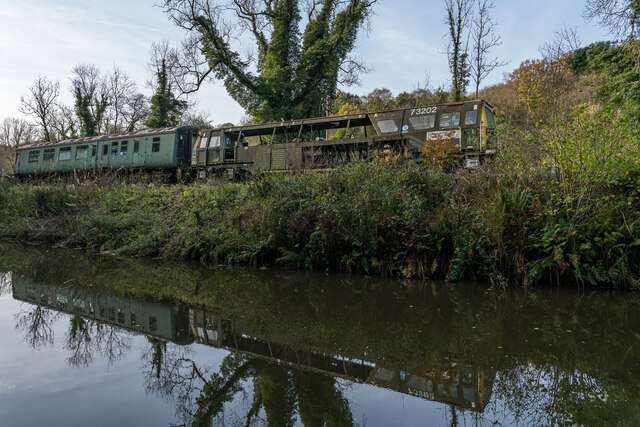
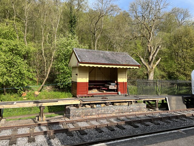
![Consall Station A preserved railway line near Leek in Staffordshire, running from Froghall up the valley to Cheddleton with one intermediate stop at Consall, and (since 2011) on an extension to a former quarry at Cauldon Low, where as of 2012 there is no station. The society has plans to connect to the national network at Stoke-on-Trent.
The lines were originally constructed by the North Staffordshire Railway (the &quot;Knotty&quot;). According to one writer, &quot;the buildings on the Churnet Valley line are of local stone, straightforwardly neo-Tudor, and effective&quot; [Lloyd &amp; Insall, &quot;Railway Station Architecture&quot;, David &amp; Charles 1978, p.17].](https://s0.geograph.org.uk/geophotos/07/66/70/7667004_978b380e.jpg)
Hollins Wood is located at Grid Ref: SJ9947 (Lat: 53.027613, Lng: -2.0107985)
Administrative County: Staffordshire
District: Staffordshire Moorlands
Police Authority: Staffordshire
What 3 Words
///detriment.gobblers.poetry. Near Cheddleton, Staffordshire
Nearby Locations
Related Wikis

Consall railway station
Consall railway station is a former passenger railway station of the North Staffordshire Railway (NSR) and is now a preserved station on the Churnet Valley...

Consall
Consall is a small village situated in the Staffordshire Moorlands, Staffordshire, England. It is approximately 6 miles south of the market town of Leek...

Kingsley, Staffordshire
Kingsley is a small village in the Staffordshire Moorlands near to Cheadle, and situated on the A52 from Stoke on Trent to Ashbourne. The civil parish...
Wetley Rocks
Wetley Rocks is a village in Staffordshire, England, about 2 miles (3.2 km) south of Cheddleton and 6 miles (9.7 km) south of Leek. For population details...

Froghall
Froghall is a village situated approximately ten miles to the east of Stoke-on-Trent and two miles north of Cheadle in Staffordshire, England. Population...
Cheadle Coalfield
The Cheadle Coalfield is a coalfield in the United Kingdom. Centred on the town of Cheadle, Staffordshire and its outlying villages it lies to the east...

Kingsley and Froghall railway station
Kingsley and Froghall is a former railway station of the North Staffordshire Railway (NSR) that is now preserved on the Churnet Valley Railway in Staffordshire...

Uttoxeter Canal
The Uttoxeter Canal was a thirteen-mile extension of the Caldon Canal running from Froghall as far as Uttoxeter in Staffordshire, England. It was authorised...
Nearby Amenities
Located within 500m of 53.027613,-2.0107985Have you been to Hollins Wood?
Leave your review of Hollins Wood below (or comments, questions and feedback).