Ashes Plantation
Wood, Forest in Durham
England
Ashes Plantation
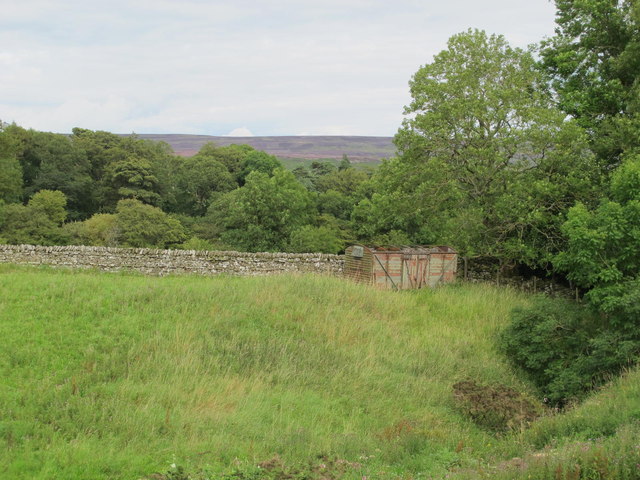
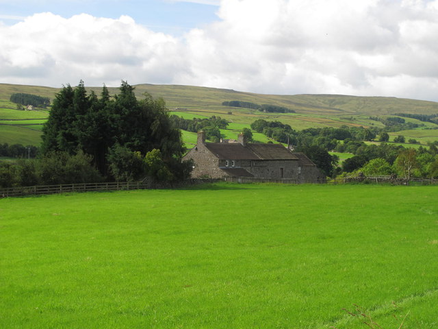
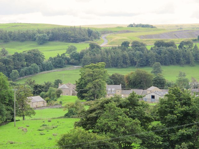
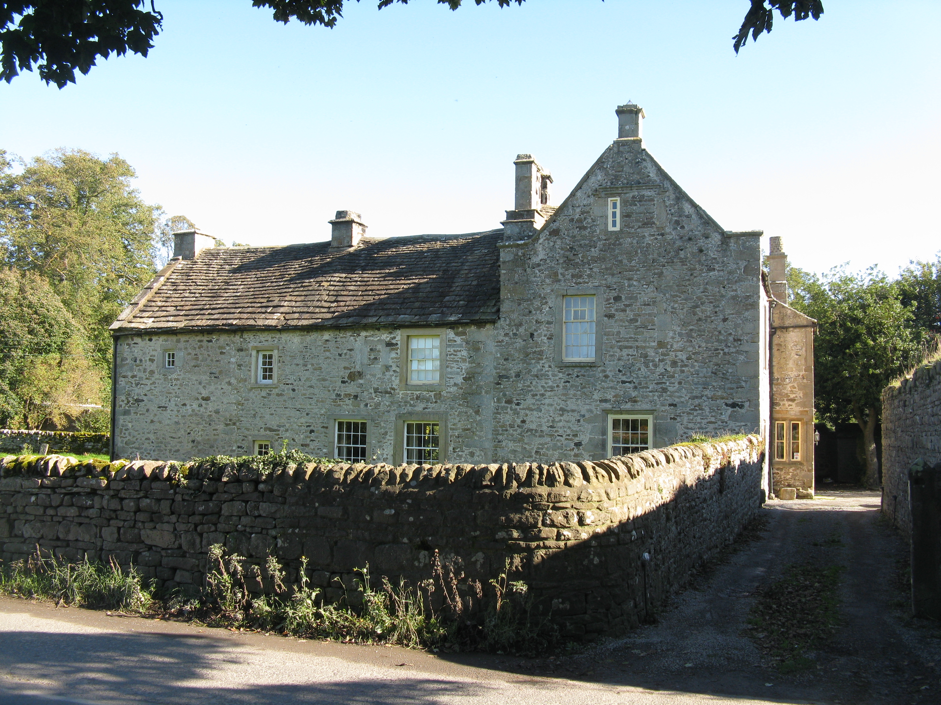
Ashes Plantation, located in Durham, is a picturesque woodland area known for its rich history and natural beauty. Situated in the heart of the county, this plantation covers a vast expanse of land and is home to a diverse range of flora and fauna.
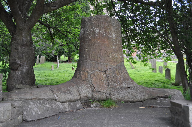
The woodland in Ashes Plantation is predominantly composed of oak and beech trees, creating a dense forest canopy that provides a habitat for numerous species. The forest floor is adorned with carpets of bluebells during the springtime, adding a vibrant burst of color to the landscape.
The plantation has a long and storied past, dating back several centuries. It was originally established as a hunting ground for the aristocracy, with remnants of their hunting lodges still visible today. Over the years, the land was also used for timber production, with evidence of old sawmills and charcoal pits scattered throughout the area.
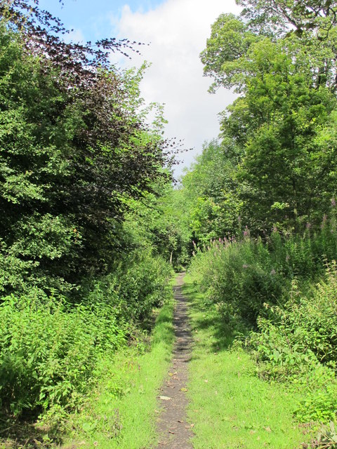
Today, Ashes Plantation is managed by a conservation organization, which aims to preserve its natural heritage and promote sustainable land management practices. The plantation is open to the public, offering a range of walking trails that allow visitors to explore the woodland and appreciate its beauty.
The tranquility and serenity of Ashes Plantation make it a popular destination for nature enthusiasts and hikers. Its well-maintained paths and signposts ensure that visitors can navigate the area easily, while interpretive boards provide information on the plantation's history and ecology.
In conclusion, Ashes Plantation in Durham is a captivating woodland area that offers a glimpse into the region's past and provides a sanctuary for a variety of plant and animal life. Its accessibility and preservation efforts make it an ideal destination for those seeking a peaceful and educational nature experience.
If you have any feedback on the listing, please let us know in the comments section below.
Ashes Plantation Images
Images are sourced within 2km of 54.753166/-2.0135787 or Grid Reference NY9939. Thanks to Geograph Open Source API. All images are credited.


Ashes Plantation is located at Grid Ref: NY9939 (Lat: 54.753166, Lng: -2.0135787)
Unitary Authority: County Durham
Police Authority: Durham
What 3 Words
///baking.beakers.chambers. Near Stanhope, Co. Durham
Nearby Locations
Related Wikis

Crawley railway station (Durham)
Crawley railway station served the village of Crawleyside, County Durham, England, from 1845 to 1846 on the Stanhope and Tyne Railway. == History == The...

Crawleyside
Crawleyside is a village in the civil parish of Stanhope, in County Durham, England. It is situated to the north of Stanhope, in Weardale. In the 2001...

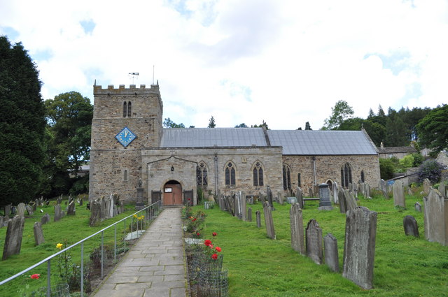
Stanhope, County Durham
Stanhope is a market town and civil parish in the County Durham district, in the ceremonial county of Durham, England. It lies on the River Wear between...
Crawley Edge Cairns
The Crawley Edge Cairns are a series of forty-two Bronze Age round barrows, cairns and clearance cairns located in a field in Crawleyside, near Stanhope...

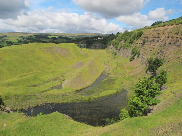
Greenfoot Quarry
Greenfoot Quarry is a Site of Special Scientific Interest in the Wear Valley district of west County Durham, England. It is a disused quarry, situated...
Unthank, Stanhope
Unthank is a collection of houses in the civil parish of Stanhope, in County Durham, England. Unthank can be found just over Stanhope Ford and at the bottom...

Heathery Burn Cave
Heathery Burn Cave is a cave near Stanhope, County Durham, England, in which a large collection of Late Bronze Age weapons and tools was discovered and...

Shittlehope
Shittlehope is a hamlet in the civil parish of Stanhope, in County Durham, England. It is situated on the north side of Weardale between Stanhope and Frosterley...
Nearby Amenities
Located within 500m of 54.753166,-2.0135787Have you been to Ashes Plantation?
Leave your review of Ashes Plantation below (or comments, questions and feedback).