Northfieldhead Plantation
Wood, Forest in Northumberland
England
Northfieldhead Plantation
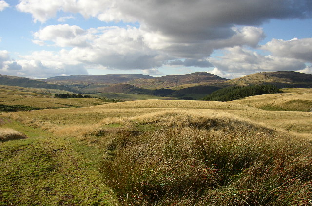
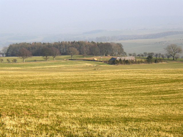
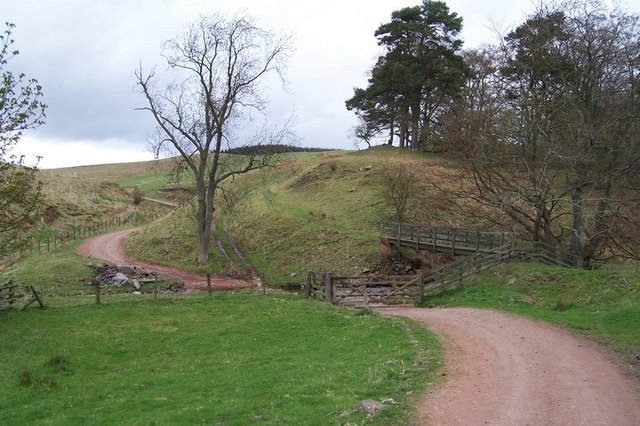
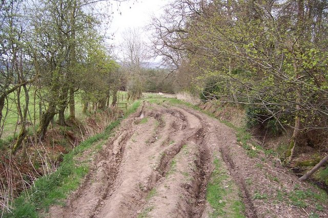
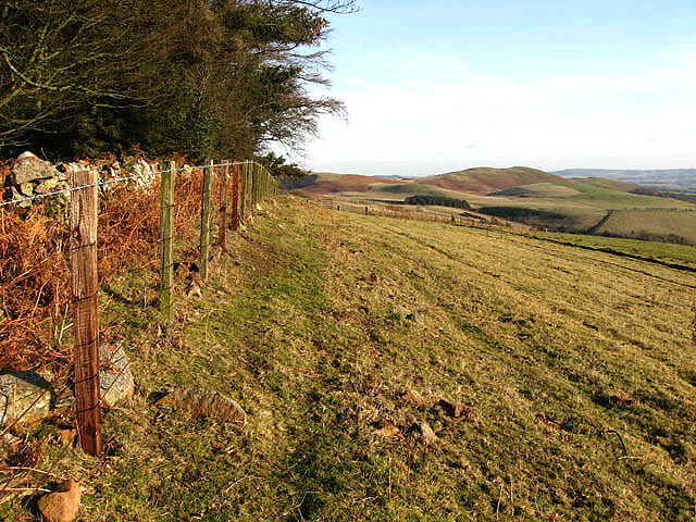
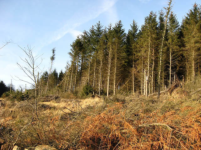
Northfieldhead Plantation is a picturesque and expansive woodland located in Northumberland, England. Spanning over a vast area, this plantation is renowned for its dense forest cover and breathtaking natural beauty. It is situated in the northern part of Northumberland, near the town of Wood.
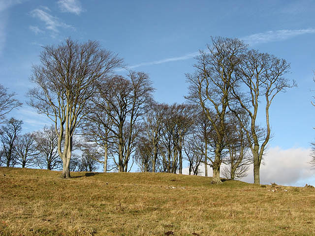
The plantation is a haven for nature enthusiasts and provides a serene and tranquil environment for visitors to explore. The forest is composed of a variety of trees, including oak, beech, and pine, creating a diverse and vibrant ecosystem. These trees provide shelter to a wide range of wildlife, making it a haven for birdwatchers and animal lovers.
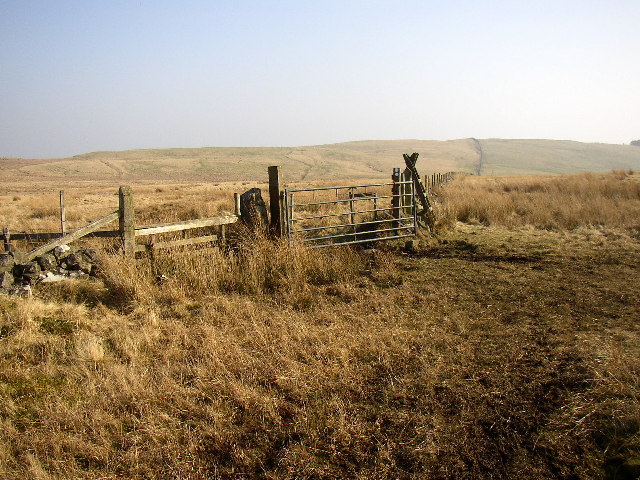
Visitors to Northfieldhead Plantation can enjoy a range of outdoor activities such as hiking, cycling, and picnicking. There are numerous well-marked trails that wind through the forest, offering glimpses of the stunning landscape and allowing visitors to immerse themselves in nature. The plantation is also home to a variety of plant species, including wildflowers and ferns, adding to its natural charm.
In addition to its natural beauty, Northfieldhead Plantation has a rich historical significance. It is believed to have been a part of an ancient hunting ground used by nobles and aristocrats in the past. This history adds a sense of mystique to the plantation and enhances its appeal.
Overall, Northfieldhead Plantation in Northumberland is a true gem for nature lovers, providing a serene escape from the hustle and bustle of everyday life. Its stunning forest cover, diverse wildlife, and rich history make it a must-visit destination for anyone seeking an authentic and immersive natural experience.
If you have any feedback on the listing, please let us know in the comments section below.
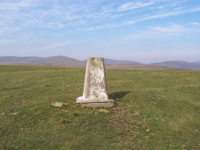
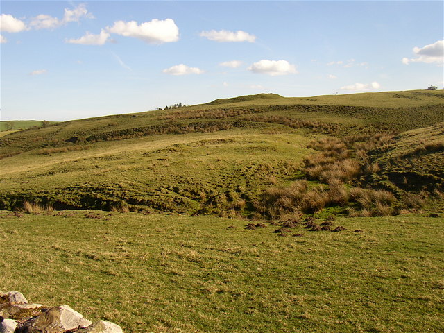
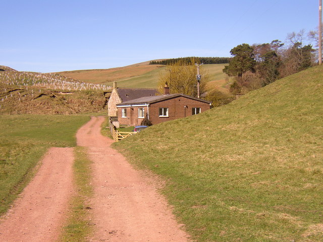
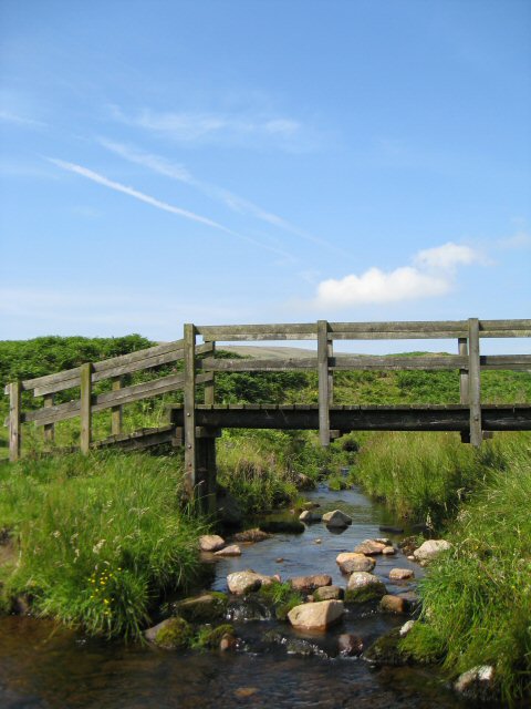
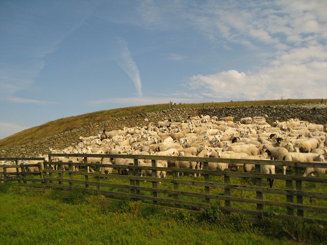
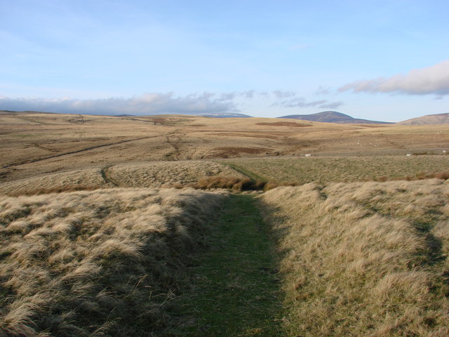
Northfieldhead Plantation Images
Images are sourced within 2km of 55.398166/-2.0145452 or Grid Reference NT9911. Thanks to Geograph Open Source API. All images are credited.
Northfieldhead Plantation is located at Grid Ref: NT9911 (Lat: 55.398166, Lng: -2.0145452)
Unitary Authority: Northumberland
Police Authority: Northumbria
What 3 Words
///spelled.highbrow.trout. Near Whittingham, Northumberland
Nearby Locations
Related Wikis

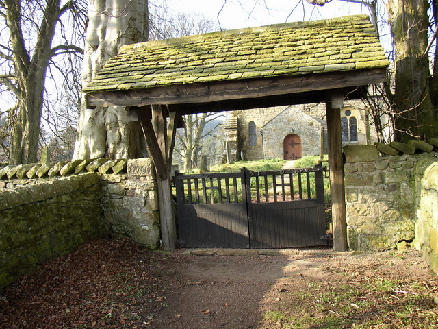
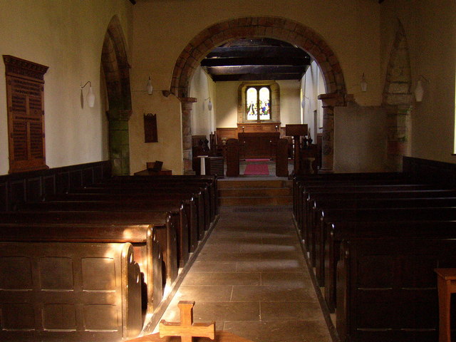
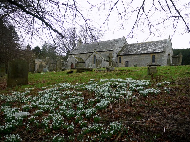
Church of St Michael, Alnham
The Church of St Michael in Alnham, in the English county of Northumberland, is a medieval structure dating from circa 1200. Built on a Roman camp site...
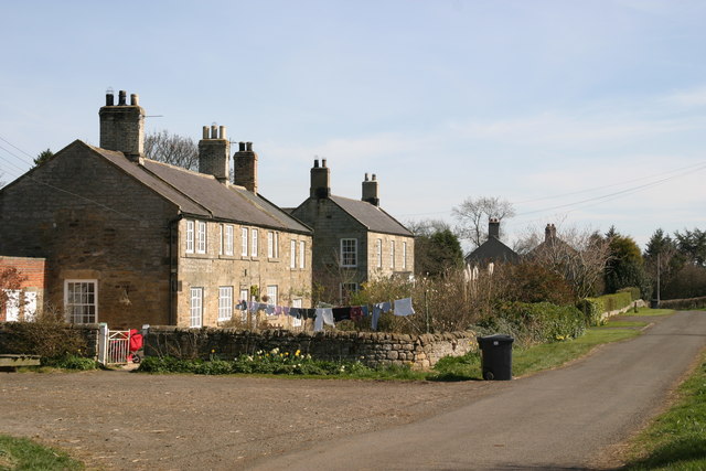
Alnham
Alnham is a hamlet and civil parish in Northumberland, England. It is about 14 miles (23 km) west of Alnwick, about 6 miles (9.7 km) from Scotland and...
Milbourne, Northumberland
Milbourne is a village and former civil parish 14 miles (23 km) from Morpeth, now in the parish of Ponteland, in the county of Northumberland, England...

Scrainwood
Scrainwood is a hamlet and former civil parish 20 miles (32 km) from Morpeth, now in the parish of Alnham, in the county of Northumberland, England. In...
Nearby Amenities
Located within 500m of 55.398166,-2.0145452Have you been to Northfieldhead Plantation?
Leave your review of Northfieldhead Plantation below (or comments, questions and feedback).