Waskerley Park

Wood, Forest in Durham

England

Waskerley Park

Parkhead, Stanhope Moor The old Parkhead station was once the highest standard gauge railway station in Britain; although it was only served by passenger trains for a very short time. <span class="nowrap"><a title="http://www.subbrit.org.uk/sb-sites/stations/p/parkhead/index.shtml" rel="nofollow ugc noopener" href="http://www.subbrit.org.uk/sb-sites/stations/p/parkhead/index.shtml">Link</a><img style="margin-left:2px;" alt="External link" title="External link - shift click to open in new window" src="https://s1.geograph.org.uk/img/external.png" width="10" height="10"/></span>
The old railway is now a component of the C2C cycle route and the old Station House has now been lovingly restored and operates as a B and B and cafe which is open 24/365 and is a magnet for the large number of cyclists who travel this way. <span class="nowrap"><a title="http://www.parkheadstation.co.uk/" rel="nofollow ugc noopener" href="http://www.parkheadstation.co.uk/">Link</a><img style="margin-left:2px;" alt="External link" title="External link - shift click to open in new window" src="https://s1.geograph.org.uk/img/external.png" width="10" height="10"/></span>
Parkhead, Stanhope Moor Credit: Oliver Dixon

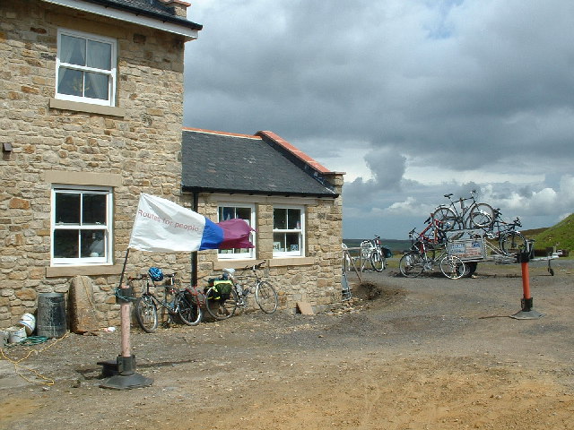
Waskerley Park, located in Durham, England, is a picturesque woodland area known for its natural beauty and diverse wildlife. Spanning over 1,000 acres, this expansive forest offers visitors a serene retreat from the hustle and bustle of city life.

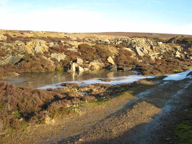
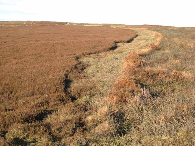
The park is primarily composed of mixed woodlands, featuring a variety of tree species such as oak, beech, and ash. These towering trees create a dense canopy that provides shelter for numerous bird species and other wildlife. Explorers can find themselves surrounded by a rich tapestry of colors during autumn, as the foliage transforms into vibrant shades of red, orange, and gold.

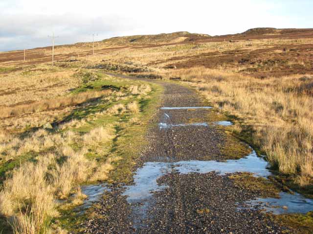
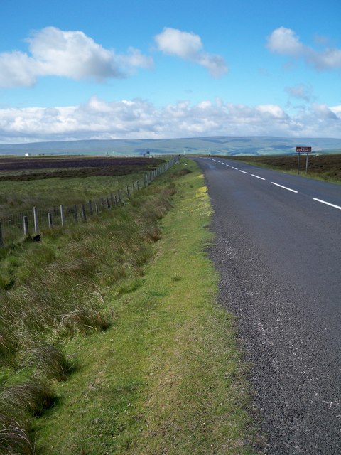
Waskerley Park offers a range of activities for nature enthusiasts. Walking and hiking trails crisscross the park, providing opportunities to explore the diverse habitats and discover hidden gems along the way. The park is also home to several designated picnic areas, allowing visitors to enjoy a leisurely lunch surrounded by nature's tranquility.

For those seeking a more thrilling adventure, Waskerley Park offers mountain biking trails that cater to both beginners and experienced riders. These trails wind through the forest, offering an exhilarating way to experience the park's natural beauty.

Wildlife enthusiasts will be delighted to know that Waskerley Park is home to a variety of animals. Roe deer, foxes, and rabbits are commonly spotted, while lucky visitors may even catch a glimpse of elusive creatures such as otters and badgers.

Overall, Waskerley Park in Durham is a true haven for nature lovers. With its enchanting woodlands, diverse wildlife, and range of activities, it provides a perfect escape to immerse oneself in the beauty of the natural world.

If you have any feedback on the listing, please let us know in the comments section below.

Waskerley Park Images

Images are sourced within 2km of 54.78266/-2.014304 or Grid Reference NY9943. Thanks to Geograph Open Source API. All images are credited.

Parkhead, Stanhope Moor The old Parkhead station was once the highest standard gauge railway station in Britain; although it was only served by passenger trains for a very short time. <span class="nowrap"><a title="http://www.subbrit.org.uk/sb-sites/stations/p/parkhead/index.shtml" rel="nofollow ugc noopener" href="http://www.subbrit.org.uk/sb-sites/stations/p/parkhead/index.shtml">Link</a><img style="margin-left:2px;" alt="External link" title="External link - shift click to open in new window" src="https://s1.geograph.org.uk/img/external.png" width="10" height="10"/></span>
The old railway is now a component of the C2C cycle route and the old Station House has now been lovingly restored and operates as a B and B and cafe which is open 24/365 and is a magnet for the large number of cyclists who travel this way. <span class="nowrap"><a title="http://www.parkheadstation.co.uk/" rel="nofollow ugc noopener" href="http://www.parkheadstation.co.uk/">Link</a><img style="margin-left:2px;" alt="External link" title="External link - shift click to open in new window" src="https://s1.geograph.org.uk/img/external.png" width="10" height="10"/></span>
Parkhead, Stanhope Moor
The old Parkhead station was once the highest standard gauge railway station in Britain; although it was only served by passenger trains for a very short time. LinkExternal link The old railway is now a component of the C2C cycle route and the old Station House has now been lovingly restored and operates as a B and B and cafe which is open 24/365 and is a magnet for the large number of cyclists who travel this way. LinkExternal link
Moorland road above Stanhope Car heading to Castleside.  To the right is Stanhope and to the left is Endundbyers
Moorland road above Stanhope
Car heading to Castleside. To the right is Stanhope and to the left is Endundbyers
Millstone Quarry, Crawleyside Judging from the freshness of the cut faces of stone, this quarry has not been abandoned for very long.
Millstone Quarry, Crawleyside
Judging from the freshness of the cut faces of stone, this quarry has not been abandoned for very long.
Millstone Quarry, Crawleyside Like many abandoned quarries, this one seems to have been used as a bit of a dump.
Millstone Quarry, Crawleyside
Like many abandoned quarries, this one seems to have been used as a bit of a dump.
Disused railway approaching Park Head This length of disused railway runs from the top of the Crawleyside Incline to Park Head Station and formed part of the once extensive network of railways in upper Weardale which served the lead and iron ore mining industries. <span class="nowrap"><a title="http://www.durham.gov.uk/miner/projects.nsf/581cd74a9c6aa8b080256d48003758cb/bb96ba295948449580256e8a004f0ba8?OpenDocument" rel="nofollow ugc noopener" href="http://www.durham.gov.uk/miner/projects.nsf/581cd74a9c6aa8b080256d48003758cb/bb96ba295948449580256e8a004f0ba8?OpenDocument">Link</a><img style="margin-left:2px;" alt="External link" title="External link - shift click to open in new window" src="https://s1.geograph.org.uk/img/external.png" width="10" height="10"/></span> This railway is now used as a path for cyclists and walkers avoiding the steep B6278 road up from Stanhope.
Disused railway approaching Park Head
This length of disused railway runs from the top of the Crawleyside Incline to Park Head Station and formed part of the once extensive network of railways in upper Weardale which served the lead and iron ore mining industries. LinkExternal link This railway is now used as a path for cyclists and walkers avoiding the steep B6278 road up from Stanhope.
Grouse moor management, Crawleyside This illustrates the process of maintaining heather moorland for grouse shooting. To the right a zone of burnt heather; to the left a zone which was burnt previously and is now occupied by shoots of tender young heather on which red grouse love to feed.
Grouse moor management, Crawleyside
This illustrates the process of maintaining heather moorland for grouse shooting. To the right a zone of burnt heather; to the left a zone which was burnt previously and is now occupied by shoots of tender young heather on which red grouse love to feed.
Sign at Parkhead Station The old Parkhead station was once the highest standard gauge railway station in Britain; although it was only served by passenger trains for a very short time. <span class="nowrap"><a title="http://www.subbrit.org.uk/sb-sites/stations/p/parkhead/index.shtml" rel="nofollow ugc noopener" href="http://www.subbrit.org.uk/sb-sites/stations/p/parkhead/index.shtml">Link</a><img style="margin-left:2px;" alt="External link" title="External link - shift click to open in new window" src="https://s1.geograph.org.uk/img/external.png" width="10" height="10"/></span> The old railway is now a component of the C2C cycle route and the old Station House has now been lovingly restored and operates as a B and B and cafe which is open 24/365 and is a magnet for the large number of cyclists who travel this way. <span class="nowrap"><a title="http://www.parkheadstation.co.uk/" rel="nofollow ugc noopener" href="http://www.parkheadstation.co.uk/">Link</a><img style="margin-left:2px;" alt="External link" title="External link - shift click to open in new window" src="https://s1.geograph.org.uk/img/external.png" width="10" height="10"/></span>
Sign at Parkhead Station
The old Parkhead station was once the highest standard gauge railway station in Britain; although it was only served by passenger trains for a very short time. LinkExternal link The old railway is now a component of the C2C cycle route and the old Station House has now been lovingly restored and operates as a B and B and cafe which is open 24/365 and is a magnet for the large number of cyclists who travel this way. LinkExternal link
Horse and cart at Park Head One of various artworks and industrial artefacts surrounding Park Head B and B and tearooms.
Horse and cart at Park Head
One of various artworks and industrial artefacts surrounding Park Head B and B and tearooms.
Millstone Rigg Old railway wagon on Millstone Rigg.
Millstone Rigg
Old railway wagon on Millstone Rigg.
Dursand Quarry Derelict building at Dursand Quarry.
Dursand Quarry
Derelict building at Dursand Quarry.
Parkhead B&B and Cafe at Parkhead on the Waskerley Way.
Parkhead
B&B and Cafe at Parkhead on the Waskerley Way.
The B6278 View of the B6278 as it heads up towards Muggleswick Common. To the left of the picture is Horseshoe Hill on Edmondbyers Common.
The B6278
View of the B6278 as it heads up towards Muggleswick Common. To the left of the picture is Horseshoe Hill on Edmondbyers Common.
Park Head End of old tramway which linked a quarry near Edmondbyers Cross with the Stanhope and Tyne Railway.
Park Head
End of old tramway which linked a quarry near Edmondbyers Cross with the Stanhope and Tyne Railway.
More snow on the way! View over Weardale from the drive to Parkhead.
More snow on the way!
View over Weardale from the drive to Parkhead.
Track on Millstone Rigg Shooter's track on Millstone Rigg with heather burning going on over on Crawleyside.
Track on Millstone Rigg
Shooter's track on Millstone Rigg with heather burning going on over on Crawleyside.
Sandstone quarry Sandstone quarry with masts on Collier Law on the horizon.
Sandstone quarry
Sandstone quarry with masts on Collier Law on the horizon.
Railway stone Inscribed S&D R. Stockton and Darlington Railway. This was the Stanhope Tyne Line 1845 - 1965. More information <span class="nowrap"><a title="http://www.subbrit.org.uk/sb-sites/stations/w/waskerley/index.shtml" rel="nofollow ugc noopener" href="http://www.subbrit.org.uk/sb-sites/stations/w/waskerley/index.shtml">Link</a><img style="margin-left:2px;" alt="External link" title="External link - shift click to open in new window" src="https://s1.geograph.org.uk/img/external.png" width="10" height="10"/></span>
Railway stone
Inscribed S&D R. Stockton and Darlington Railway. This was the Stanhope Tyne Line 1845 - 1965. More information LinkExternal link
Roadside verge on the B6278
Show me another place!

Waskerley Park is located at Grid Ref: NY9943 (Lat: 54.78266, Lng: -2.014304)

Unitary Authority: County Durham

Police Authority: Durham

What 3 Words

///appeal.qualifier.blotchy. Near Stanhope, Co. Durham

Nearby Locations

Waskerley Park

Related Wikis

Blanchland railway station

Blanchland railway station served the village of Blanchland, Northumberland, England, from 1845 to 1965 on the Stanhope and Tyne Railway. == History... ==

Weardale Rural District

Weardale was a rural district in County Durham, England from 1894 to 1974. It was formed under the Local Government Act 1894 as a successor to the Weardale...

Heathery Burn Cave

Heathery Burn Cave is a cave near Stanhope, County Durham, England, in which a large collection of Late Bronze Age weapons and tools was discovered and...

Crawleyside

Crawleyside is a village in the civil parish of Stanhope, in County Durham, England. It is situated to the north of Stanhope, in Weardale. In the 2001...

Nearby Amenities

Located within 500m of 54.78266,-2.014304
Power: pole
Lat/Long: 54.7860086/-2.0109958
Power: pole
Lat/Long: 54.7856583/-2.0101339
Power: pole
Lat/Long: 54.7853022/-2.009258
Power: pole
Lat/Long: 54.7849469/-2.0083839
Power: pole
Lat/Long: 54.7845945/-2.0075171
Power: pole
Lat/Long: 54.7864028/-2.0119655
Power: pole
Lat/Long: 54.786758/-2.0128392
Power: pole
Lat/Long: 54.7871171/-2.0137227
The data included in this document is from www.openstreetmap.org. The data is made available under ODbL.

Have you been to Waskerley Park?

Leave your review of Waskerley Park below (or comments, questions and feedback).