Vineyard Copse
Wood, Forest in Dorset
England
Vineyard Copse
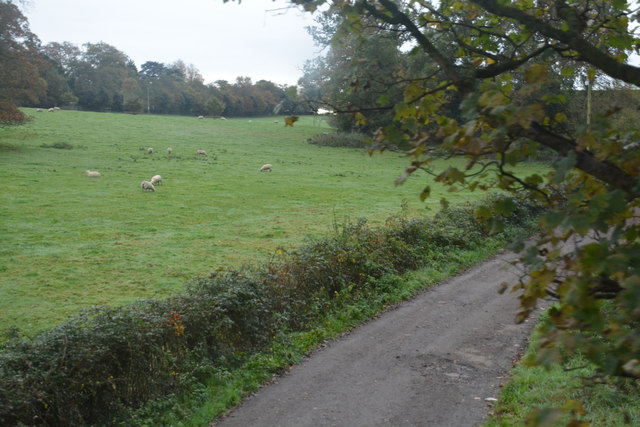
Vineyard Copse is a picturesque woodland area located in Dorset, England. Spread over an area of approximately 50 acres, it is known for its dense and diverse collection of trees, making it a perfect destination for nature enthusiasts and hiking enthusiasts alike.
Situated near the village of Bere Regis, Vineyard Copse offers visitors a tranquil and serene environment to explore and unwind. The copse is primarily composed of deciduous trees, including oak, beech, and ash, which provide a lush canopy during the summer months, offering shade and shelter to a variety of wildlife.
The woodland is home to a wide range of flora and fauna, making it a hotspot for nature lovers. Birdwatchers can spot a variety of species, including woodpeckers, owls, and various songbirds. Small mammals, such as squirrels and rabbits, can also be seen scurrying through the undergrowth.
A network of well-maintained paths and trails crisscross the copse, allowing visitors to explore its beauty at their own pace. These paths also make it accessible for families with children and individuals with limited mobility.
Vineyard Copse is not only a haven for wildlife but also an important ecological site. The diverse range of trees supports a healthy ecosystem and helps in maintaining the air quality in the surrounding area.
Overall, Vineyard Copse, with its enchanting woodland and abundant wildlife, offers visitors a peaceful retreat away from the hustle and bustle of city life, making it a must-visit destination for nature lovers and those seeking solace in the beauty of the natural world.
If you have any feedback on the listing, please let us know in the comments section below.
Vineyard Copse Images
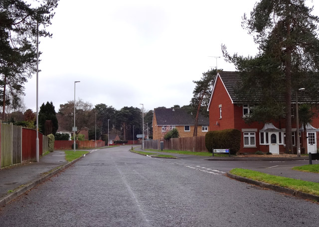
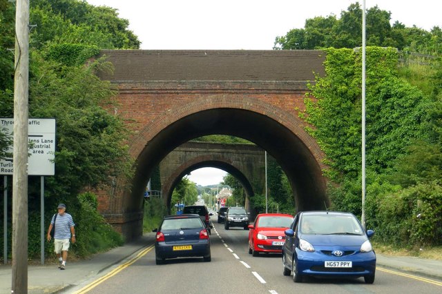
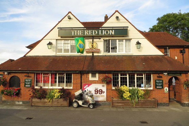
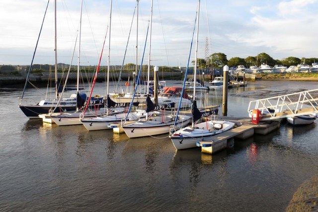
Images are sourced within 2km of 50.726603/-2.0140163 or Grid Reference SY9991. Thanks to Geograph Open Source API. All images are credited.
Vineyard Copse is located at Grid Ref: SY9991 (Lat: 50.726603, Lng: -2.0140163)
Unitary Authority: Bournemouth, Christchurch and Poole
Police Authority: Dorset
What 3 Words
///gifted.heads.water. Near Poole, Dorset
Nearby Locations
Related Wikis
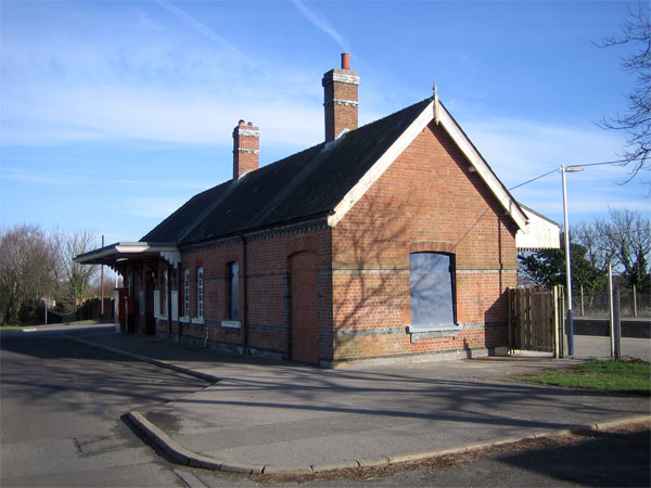
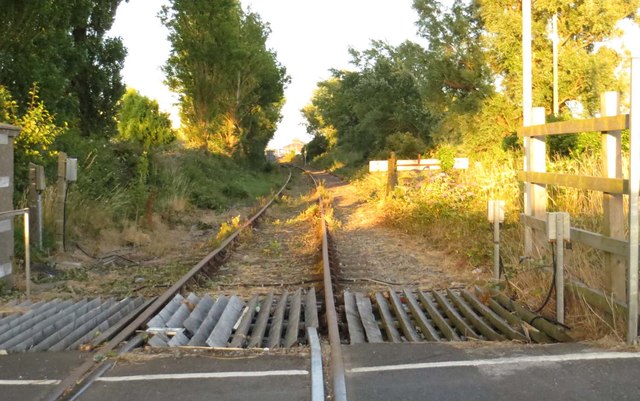
Hamworthy railway station
Hamworthy railway station serves Hamworthy, an area of Poole in Dorset, England. It is 115 miles 77 chains (186.6 km) down the line from London Waterloo...

Hamworthy
Hamworthy is a village, parish, peninsula and suburb of Poole in Dorset, England. It is sited on a peninsula of approximately 3 square kilometres (1.2...
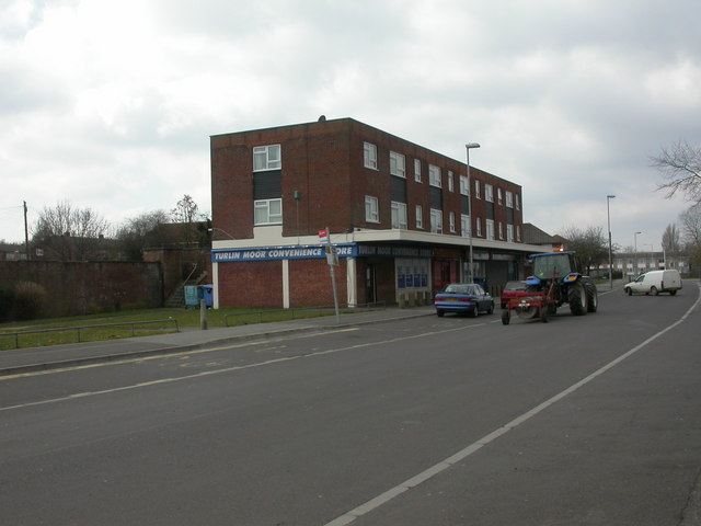
Turlin Moor
Turlin Moor is a suburb of Poole in Dorset, England, located between Hamworthy and Upton. Turlin Moor is classed as part of the Hamworthy Community and...

RM Poole
Royal Marines Base Poole (RM Poole) is a British naval base located in Hamworthy a suburb of Poole, Dorset, England on the Poole Harbour and is the centre...
Nearby Amenities
Located within 500m of 50.726603,-2.0140163Have you been to Vineyard Copse?
Leave your review of Vineyard Copse below (or comments, questions and feedback).