Hamworthy
Settlement in Dorset
England
Hamworthy
Hamworthy is a small coastal town located in the county of Dorset, England. It is situated on the northern edge of the Poole Harbour, one of the largest natural harbours in the world. The town is part of the larger urban area of Poole and is approximately 3 miles east of the town center.
Hamworthy has a rich history dating back to the Roman times when it served as a trading port due to its strategic location. The town's name itself is derived from the Old English words "ham" meaning homestead and "worthy" meaning enclosure or farm.
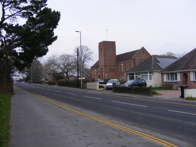
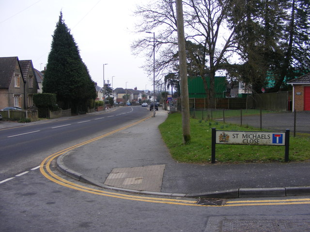
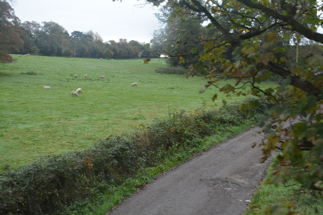
The area is predominantly residential, with a mix of housing developments and older properties. The town offers a range of amenities including shops, schools, and recreational facilities. There are also several parks and green spaces, providing residents with opportunities for outdoor activities.
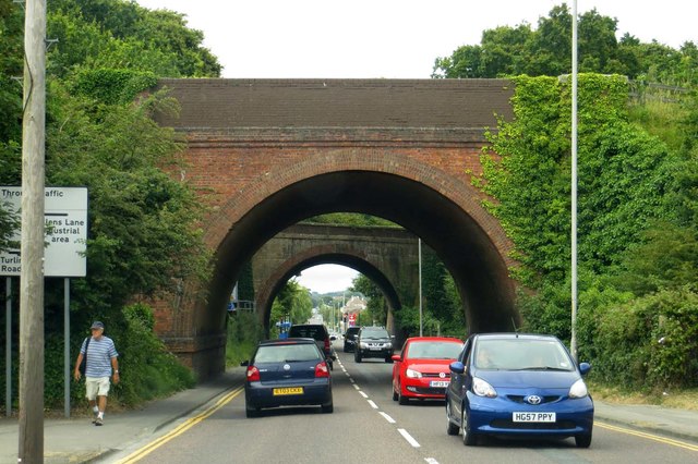
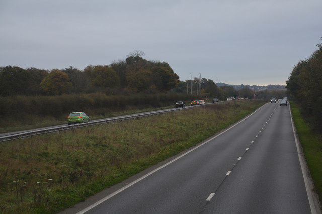
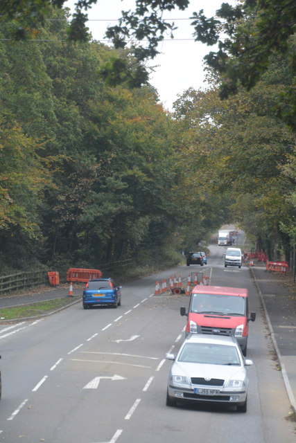
Hamworthy is well connected to the rest of Dorset and beyond. It has its own train station, which provides regular services to towns and cities such as Bournemouth, Poole, and London. The A350 road also runs through the town, making it easily accessible by car.
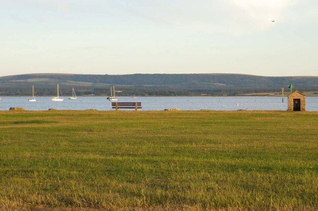
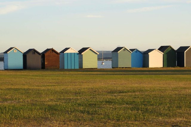
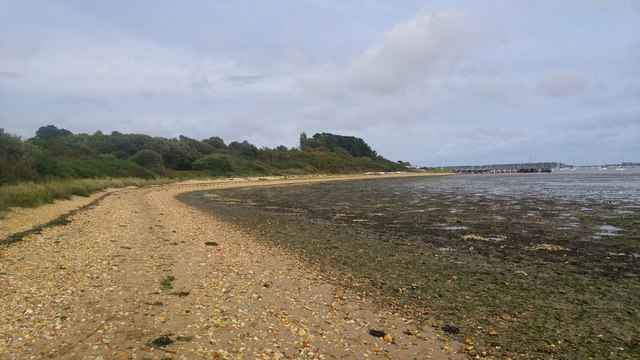
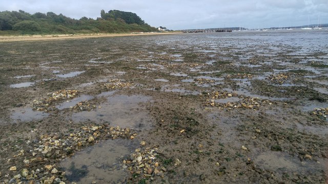
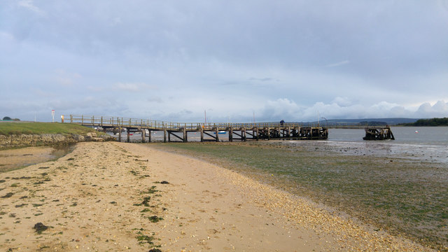
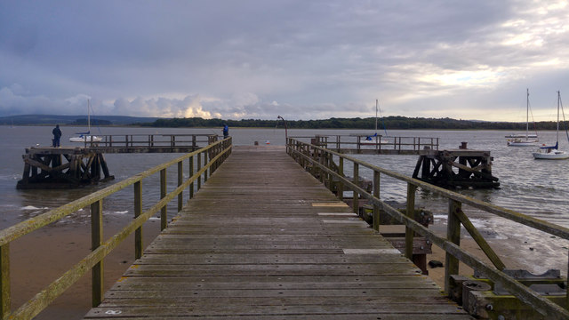
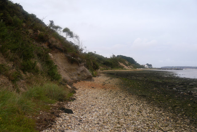
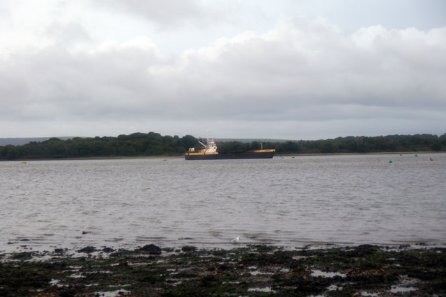
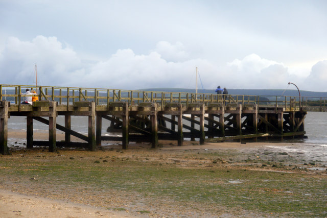
Being located on the coast, Hamworthy offers beautiful views of the Poole Harbour and the surrounding natural landscapes. The harbor itself is a popular spot for water sports enthusiasts, with opportunities for sailing, kayaking, and fishing. The nearby beaches of Sandbanks and Bournemouth also attract visitors during the summer months.
Overall, Hamworthy is a charming coastal town with a rich history, offering residents and visitors a peaceful and picturesque place to live or explore.
If you have any feedback on the listing, please let us know in the comments section below.
Hamworthy Images
Images are sourced within 2km of 50.720704/-2.0109547 or Grid Reference SY9991. Thanks to Geograph Open Source API. All images are credited.
Hamworthy is located at Grid Ref: SY9991 (Lat: 50.720704, Lng: -2.0109547)
Unitary Authority: Bournemouth, Christchurch and Poole
Police Authority: Dorset
What 3 Words
///dull.sugars.issued. Near Poole, Dorset
Nearby Locations
Related Wikis

Hamworthy
Hamworthy is a village, parish, peninsula and suburb of Poole in Dorset, England. It is sited on a peninsula of approximately 3 square kilometres (1.2...

RM Poole
Royal Marines Base Poole (RM Poole) is a British naval base located in Hamworthy a suburb of Poole, Dorset, England on the Poole Harbour and is the centre...
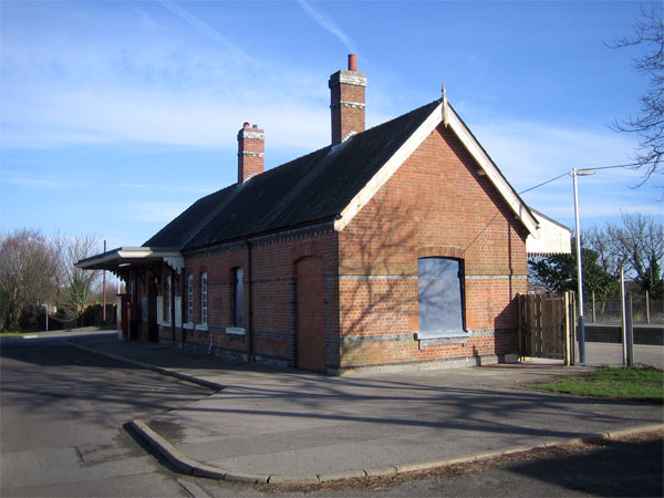
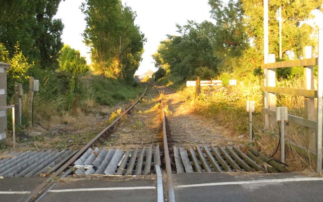
Hamworthy railway station
Hamworthy railway station serves Hamworthy, an area of Poole in Dorset, England. It is 115 miles 77 chains (186.6 km) down the line from London Waterloo...

The Cornerstone Academy
The Cornerstone Academy (previously Carter Community School) is a co-educational secondary school located in Hamworthy, Poole, Dorset, England. The school...
Hamworthy United F.C.
Hamworthy United Football Club is a football club based in Hamworthy, a suburb of Poole, England. Formed in 1970 as a merger of Hamworthy and Trinidad...
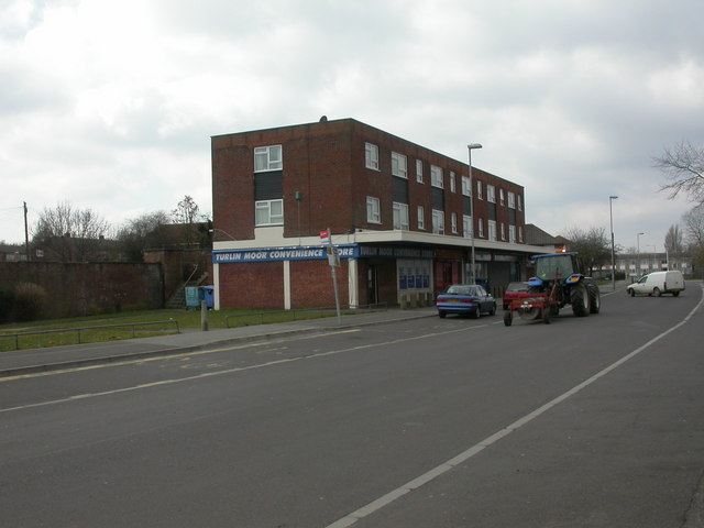
Turlin Moor
Turlin Moor is a suburb of Poole in Dorset, England, located between Hamworthy and Upton. Turlin Moor is classed as part of the Hamworthy Community and...

Poole Power Station
Poole Power Station was a coal-fired power station located in Hamworthy, Poole, in Dorset. Its 325 ft (100 m) tall twin chimneys were prominent landmarks...

Hamworthy Beach
Hamworthy Beach is situated between the Marine Camp and Rockley Sands in Poole Bay, Dorset, known to locals but more difficult to find for outsiders. The...
Nearby Amenities
Located within 500m of 50.720704,-2.0109547Have you been to Hamworthy?
Leave your review of Hamworthy below (or comments, questions and feedback).