Grove Wood
Wood, Forest in Dorset
England
Grove Wood
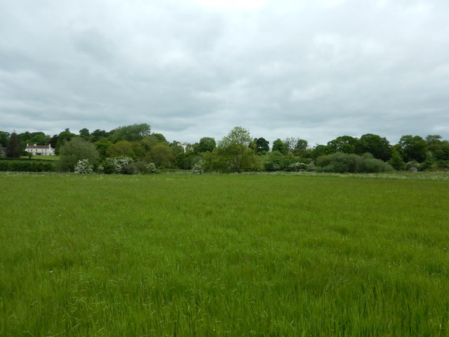
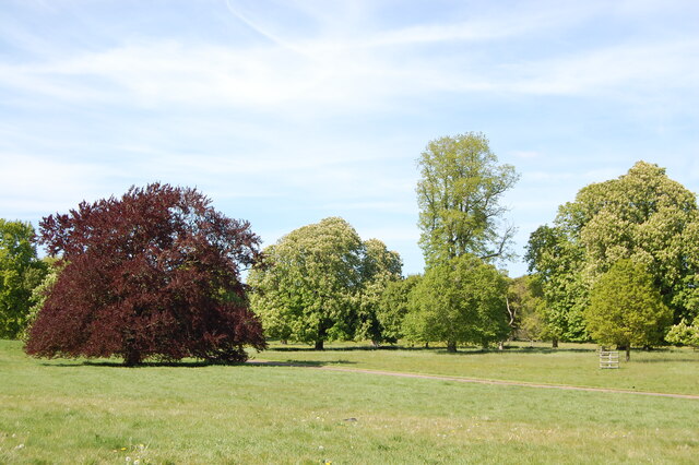
Grove Wood is a picturesque forest located in Dorset, England. It spans over an area of approximately 100 acres and is known for its diverse flora and fauna. The wood is situated in a rural area, surrounded by rolling hills and meadows, providing visitors with a tranquil and serene atmosphere.
The wood is primarily composed of native broadleaf trees including oak, beech, and ash, which create a dense canopy overhead. These trees provide a habitat for a variety of wildlife, making Grove Wood a popular destination for nature enthusiasts and birdwatchers. Visitors can often spot woodpeckers, owls, and various small mammals while exploring the forest trails.
Grove Wood offers a network of well-maintained footpaths and walking trails, allowing visitors to fully immerse themselves in the natural beauty of the area. These paths are suitable for all abilities and provide access to some of the most scenic spots within the wood.
For those interested in history, Grove Wood is believed to have been in existence for several centuries, with evidence of its use for timber dating back to the medieval period. The wood has also been managed sustainably for many years, ensuring its preservation for future generations.
Overall, Grove Wood in Dorset is a haven for nature lovers, offering a peaceful escape from the hustle and bustle of city life. Its diverse ecosystem, well-marked trails, and rich history make it a must-visit destination for anyone seeking a connection with nature in this beautiful region of England.
If you have any feedback on the listing, please let us know in the comments section below.
Grove Wood Images
Images are sourced within 2km of 50.804154/-2.0181838 or Grid Reference ST9800. Thanks to Geograph Open Source API. All images are credited.


![Kingston Lacy House and gardens [1] The west front of the house.
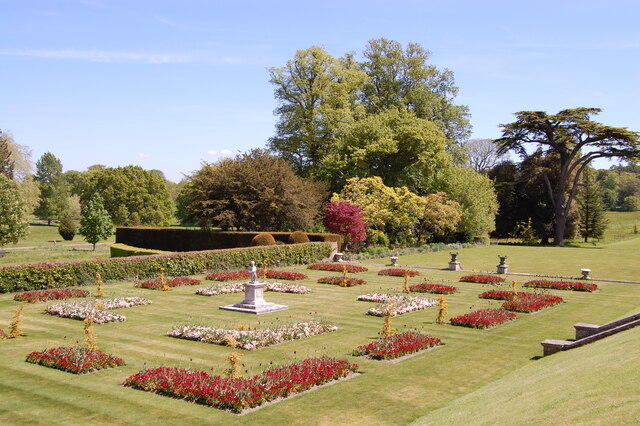
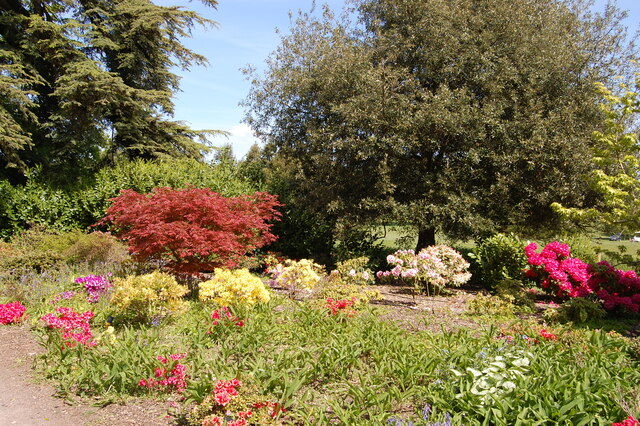
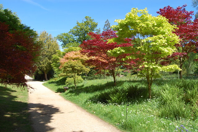
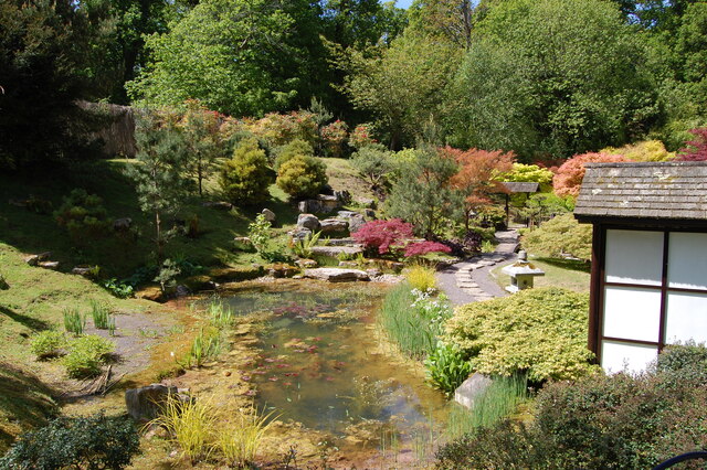
Kingston Lacy is a country house and 16,000 acre estate located some 2 miles northwest of Wimborne Minster, Dorset. The main house, with a compact, rectangular plan, was built in 1665 of ashlar under a hipped lead roof. The house is surrounded by 12 acres of formal gardens and pleasure grounds within 390 acres of parkland The house contains an important collection of fine art and antiquities. The estate remained in the ownership of the Bankes family from the 17th to the late 20th century when it was given to the National Trust. The house is listed, grade I, with details at: <span class="nowrap"><a title="https://historicengland.org.uk/listing/the-list/list-entry/1119511" rel="nofollow ugc noopener" href="https://historicengland.org.uk/listing/the-list/list-entry/1119511">Link</a><img style="margin-left:2px;" alt="External link" title="External link - shift click to open in new window" src="https://s1.geograph.org.uk/img/external.png" width="10" height="10"/></span> The parkland is on the Register of Historic Parks and Gardens, grade II, with much history and detail at: <span class="nowrap"><a title="https://historicengland.org.uk/listing/the-list/list-entry/1000718" rel="nofollow ugc noopener" href="https://historicengland.org.uk/listing/the-list/list-entry/1000718">Link</a><img style="margin-left:2px;" alt="External link" title="External link - shift click to open in new window" src="https://s1.geograph.org.uk/img/external.png" width="10" height="10"/></span>](https://s2.geograph.org.uk/geophotos/07/24/71/7247146_03caec35.jpg)
Grove Wood is located at Grid Ref: ST9800 (Lat: 50.804154, Lng: -2.0181838)
Unitary Authority: Dorset
Police Authority: Dorset
What 3 Words
///lowest.purse.slurred. Near Wimborne Minster, Dorset
Nearby Locations
Related Wikis

St Stephen's Church, Pamphill
St Stephen's is the parish church of Pamphill in Dorset, England.The current church lies on the site of a former church dating from 1229. The current church...
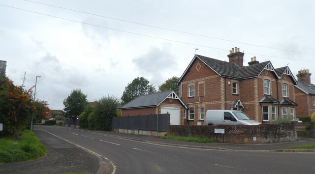
Pamphill
Pamphill is a village in south-east Dorset, England, just outside Wimborne Minster, four miles north of Poole. The village has a population of 704 (2001...

The Vine, Pamphill
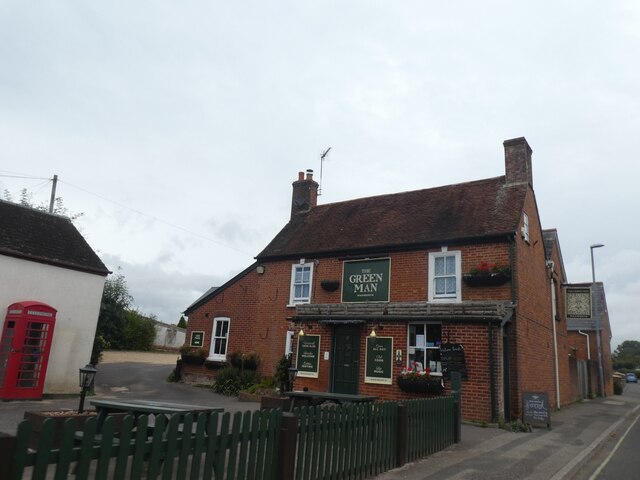
The Vine Inn is a public house at Vine Hill, Pamphill, Dorset BH21 4EE. It is on the Campaign for Real Ale's National Inventory of Historic Pub Interiors...

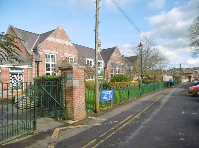
Queen Elizabeth's School, Wimborne Minster
Queen Elizabeth's School (also known as QE) is a co-educational secondary school in Wimborne Minster, Dorset, England. == Introduction == QE is an upper...

Philae obelisk
The Philae obelisk is one of a pair of twin obelisks erected at Philae in Upper Egypt in the second century BC. It was discovered by William John Bankes...

Kingston Lacy
Kingston Lacy is a country house and estate near Wimborne Minster, Dorset, England. It was for many years the family seat of the Bankes family who lived...
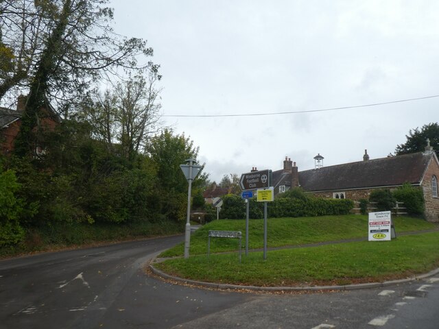
Wimborne Town F.C.
Wimborne Town Football Club is a football club based in Wimborne Minster in Dorset, England. They were established in 1878 and won the FA Vase in 1992...

Wimborne Model Town
Wimborne Model Town, situated on the edge of the town of Wimborne Minster, Dorset, England, is one of the largest and most established model towns in England...
Nearby Amenities
Located within 500m of 50.804154,-2.0181838Have you been to Grove Wood?
Leave your review of Grove Wood below (or comments, questions and feedback).