Honeybed Wood
Wood, Forest in Wiltshire
England
Honeybed Wood
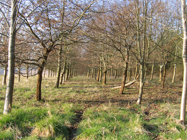
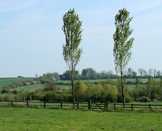
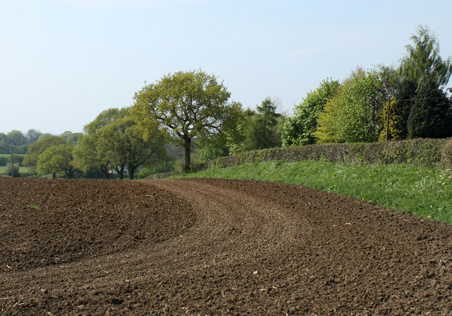
Honeybed Wood is a picturesque woodland located in the county of Wiltshire, England. It covers an area of approximately 100 acres and is known for its diverse flora and fauna, making it an attractive destination for nature enthusiasts and wildlife lovers.
The wood is characterized by its dense canopy of trees, which mainly consists of oak, beech, and ash. These towering trees provide a tranquil and shaded environment, perfect for leisurely walks and exploring the natural beauty of the area. The woodland floor is adorned with an array of wildflowers, including bluebells, primroses, and wood anemones, creating a stunning display of colors throughout the year.
Honeybed Wood is home to a rich variety of wildlife. Visitors may catch a glimpse of roe deer grazing among the trees or spot foxes and badgers roaming the forest floor. Additionally, the wood is a haven for birdwatchers, as it attracts a wide range of bird species, including woodpeckers, owls, and various songbirds.
The woodland is equipped with well-maintained footpaths and trails, making it easily accessible for visitors of all ages. There are several picnic areas scattered throughout the wood, providing an opportunity for visitors to relax and enjoy a meal surrounded by nature.
Honeybed Wood is a cherished natural gem in Wiltshire, offering a peaceful retreat from the hustle and bustle of everyday life. Whether it's for a serene walk, wildlife spotting, or simply immersing oneself in the beauty of nature, this woodland offers a delightful experience for all who visit.
If you have any feedback on the listing, please let us know in the comments section below.
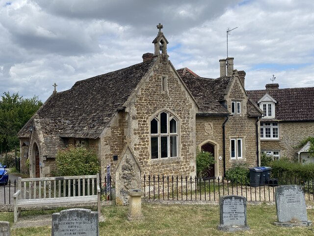
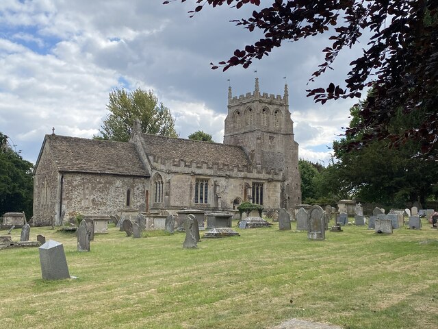
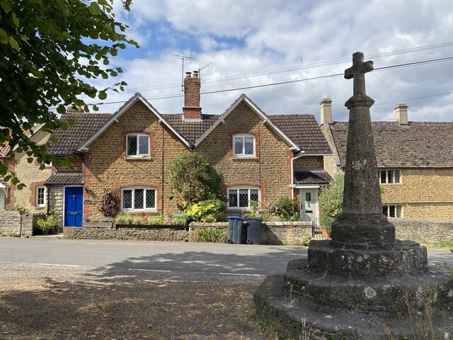
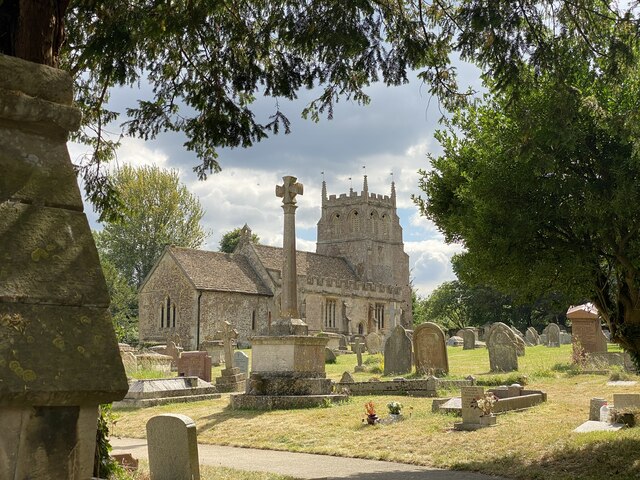
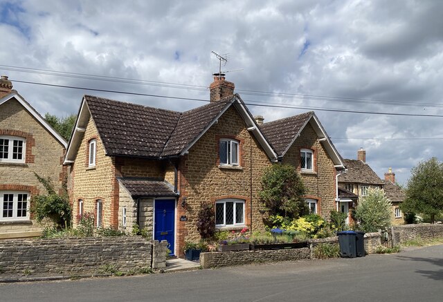
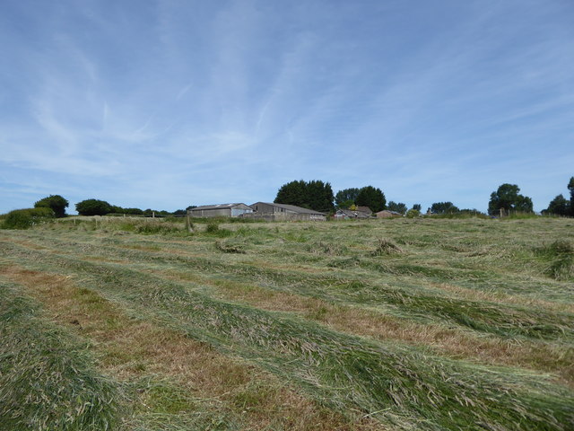
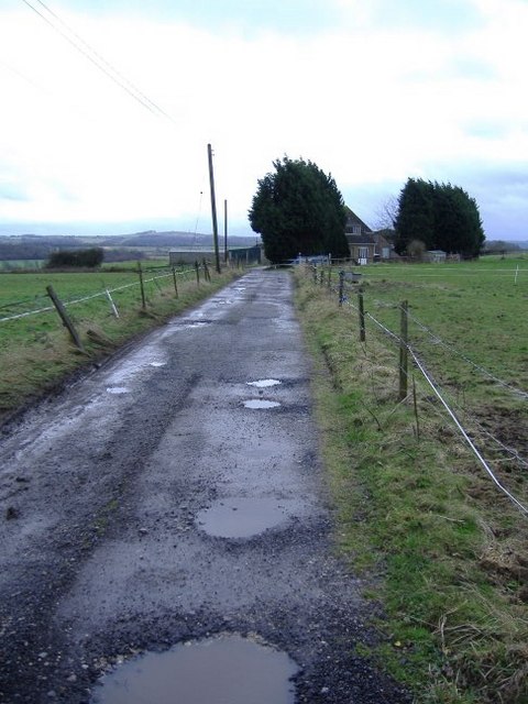
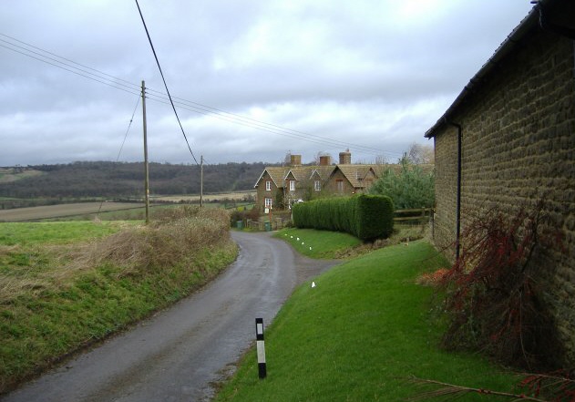
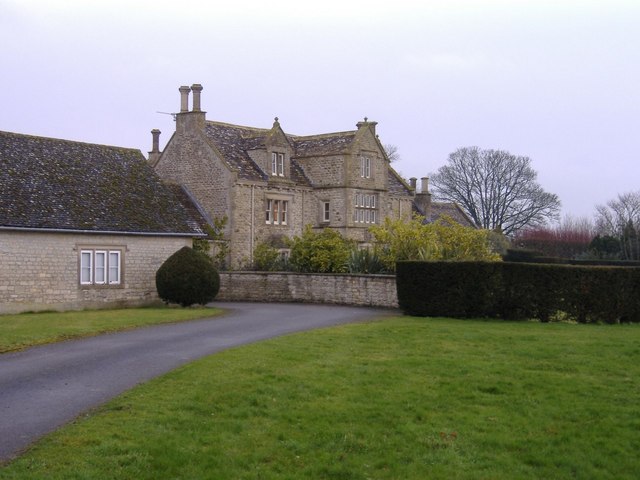
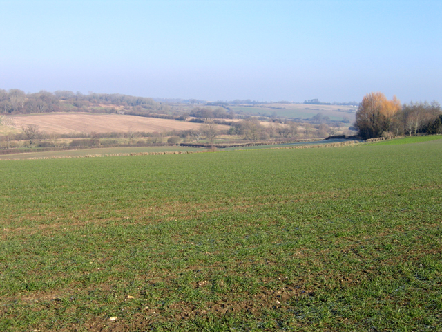
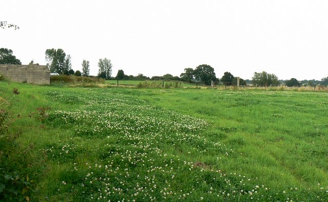
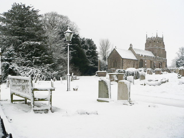
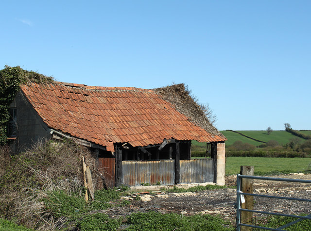
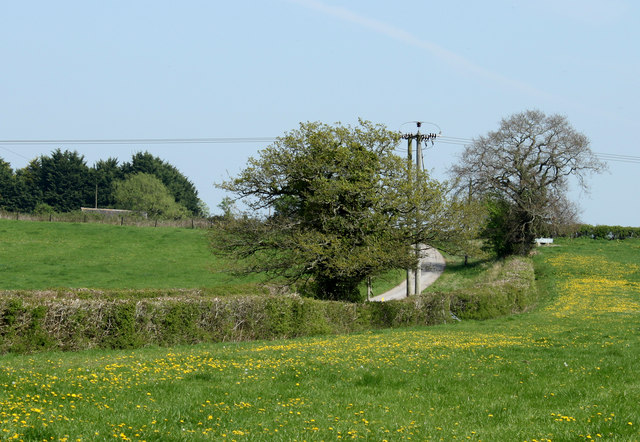
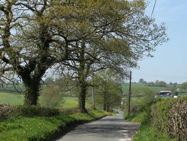
Honeybed Wood Images
Images are sourced within 2km of 51.470661/-2.0184513 or Grid Reference ST9874. Thanks to Geograph Open Source API. All images are credited.
Honeybed Wood is located at Grid Ref: ST9874 (Lat: 51.470661, Lng: -2.0184513)
Unitary Authority: Wiltshire
Police Authority: Wiltshire
What 3 Words
///widen.answers.firmer. Near Bremhill, Wiltshire
Nearby Locations
Related Wikis

Charlcutt
Charlcutt is a hamlet in the county of Wiltshire, England, 3 miles (4.8 km) northwest of Calne. It is part of the civil parish of Bremhill. Charlcutt...

Spirthill
Spirthill is a hamlet in the civil parish of Bremhill in Wiltshire, England, 2.5 miles (4.0 km) to the south of Lyneham. It is on top of a hill with views...

Bremhill
Bremhill is a village and civil parish in Wiltshire, England. The village is about 1.6 miles (2.6 km) northwest of Calne and 4 miles (6.4 km) east of Chippenham...

Fisher's Brook
Fisher's Brook is a hamlet in Calne Without parish, Wiltshire, England, with a population of approximately 25. It consists of a small number of houses...

East Tytherton
East Tytherton is a hamlet in the civil parish of Bremhill in the ceremonial county of Wiltshire, England. Its nearest town is Chippenham, which lies approximately...
Calne Town F.C.
Calne Town Football Club is a football club based in Calne, Wiltshire, England. They are currently members of the Hellenic League Division One and play...
Bencroft Hill Meadows
Bencroft Hill Meadows (grid reference ST962732) is a 5.1 hectare biological Site of Special Scientific Interest some 3 miles (5 km) to the east of the...

Foxham, Wiltshire
Foxham is a village in Bremhill civil parish in Wiltshire, England, about 5 miles (8.0 km) northeast of Chippenham and a similar distance northwest of...
Nearby Amenities
Located within 500m of 51.470661,-2.0184513Have you been to Honeybed Wood?
Leave your review of Honeybed Wood below (or comments, questions and feedback).