Upton Wood
Wood, Forest in Dorset
England
Upton Wood
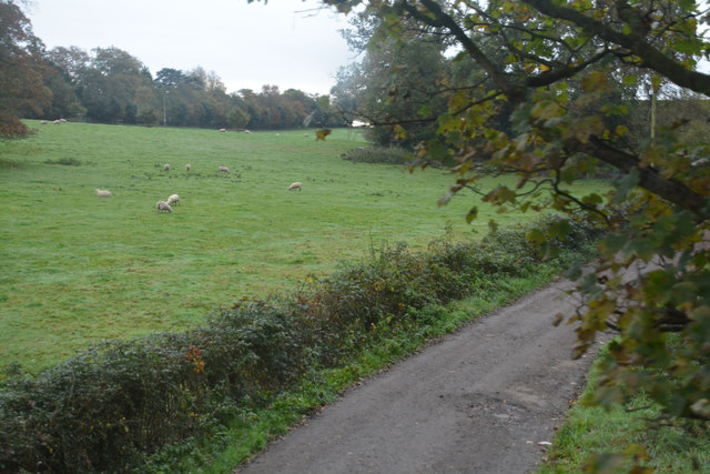
Upton Wood is a picturesque woodland located in the county of Dorset, England. Covering an area of approximately 100 acres, it is a haven for nature enthusiasts and those seeking tranquility amidst the beauty of nature. The wood is situated in the village of Upton, just a short distance from the popular coastal town of Poole.
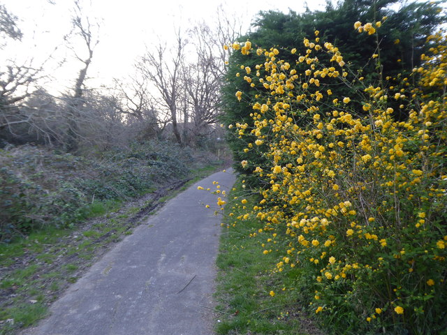
Upton Wood is predominantly made up of native broadleaf trees such as oak, beech, and ash, which provide a diverse and vibrant canopy. The woodland floor is adorned with an array of wildflowers, creating a colorful tapestry during the spring and summer months. Walking through the wood, visitors can indulge in the sweet aroma of the bluebells that carpet the forest floor in a stunning display.
The forest is home to a variety of wildlife, including deer, rabbits, and a range of bird species. Birdwatchers can spot woodpeckers, nuthatches, and warblers among the branches, while lucky visitors may even catch a glimpse of a rare red squirrel.
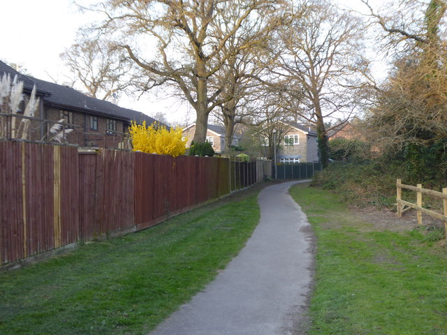
Upton Wood offers several walking trails, allowing visitors to explore the diverse ecosystems within the woodland. These trails are well-maintained and suitable for all ages and abilities. Interpretive signs along the paths provide information about the flora and fauna, enhancing the educational experience.
The wood is managed by a local conservation organization, ensuring the preservation of its natural beauty for future generations to enjoy. Upton Wood is not only a place of natural beauty but also a valuable habitat for wildlife, making it a must-visit destination for nature lovers and those seeking a peaceful retreat in the heart of Dorset.
If you have any feedback on the listing, please let us know in the comments section below.
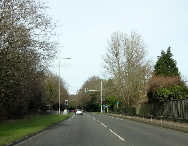
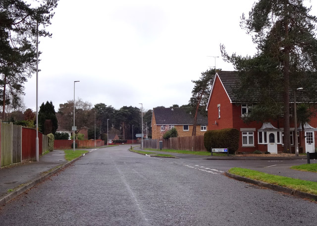
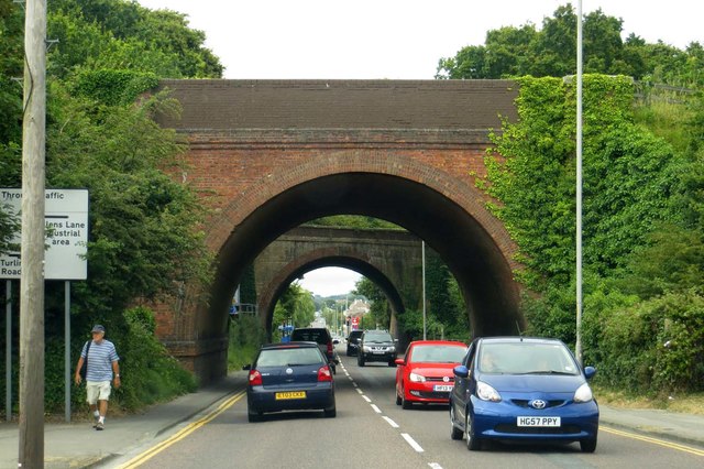
Upton Wood Images
Images are sourced within 2km of 50.739435/-2.0182292 or Grid Reference SY9893. Thanks to Geograph Open Source API. All images are credited.

Upton Wood is located at Grid Ref: SY9893 (Lat: 50.739435, Lng: -2.0182292)
Unitary Authority: Dorset
Police Authority: Dorset
What 3 Words
///lodge.test.chair. Near Broadstone, Dorset
Nearby Locations
Related Wikis

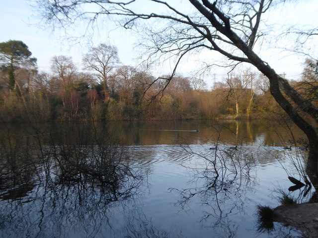
Holes Bay Nature Park
Holes Bay Nature Park is a protected area, 286 hectares in size, on and around Holes Bay, an embayment of Poole Harbour within the Borough of Poole that...

Upton House, Dorset
Upton House is a country house in the grounds of Upton Country Park on the northwestern shoreline of Holes Bay in the county of Dorset on the south coast...

Upton, Dorset
Upton is a town in south-east Dorset, England. Upton is to the east of Holton Heath and Upton Heath, and to the north of the Poole suburb of Hamworthy...

Upton Clock Tower
The Upton Clock Tower is a landmark in Upton, Dorset. == History == The clock tower was built to celebrate the new millennium in 2000. In 2014, a Armistice...

Creekmoor
Creekmoor is a suburb of Poole in Dorset, England, with a population of 9,257, reducing to 9,180 at the 2011 census. Bordered by the Upton Heath Nature...

Upton Heath
Upton Heath is one of the largest remaining fragments of a heath that once stretched across central southern England from Dorchester to Christchurch and...

Pergins Island
Pergins Island is a small, uninhabited island in Holes Bay, an embayment off Poole Harbour in Dorset on the south coast of England. It is not accessible...

Holes Bay
Holes Bay is an intertidal embayment off Poole Harbour in the county of Dorset on the south coast of England. It lies mostly within the Borough of Poole...
Nearby Amenities
Located within 500m of 50.739435,-2.0182292Have you been to Upton Wood?
Leave your review of Upton Wood below (or comments, questions and feedback).