Bats Plantation
Wood, Forest in Northumberland
England
Bats Plantation
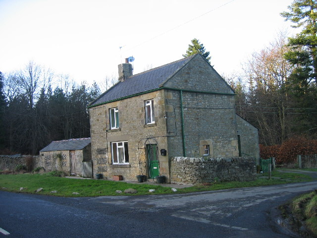
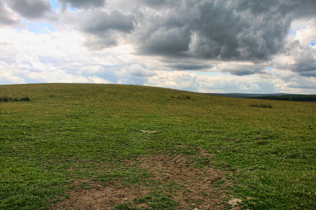
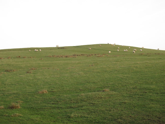
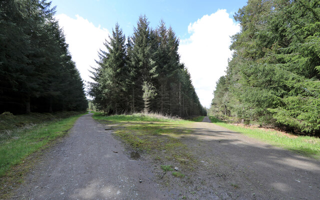
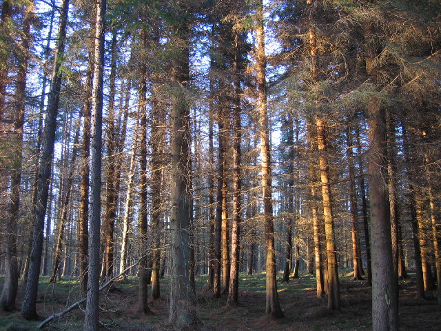
Bats Plantation is a sprawling woodland located in the county of Northumberland, England. Spanning an area of approximately 500 acres, it is known for its breathtaking natural beauty and diverse flora and fauna. The plantation is nestled in the heart of the Northumberland countryside, offering visitors a tranquil retreat from the hustle and bustle of city life.
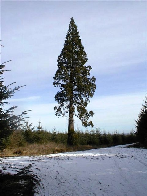
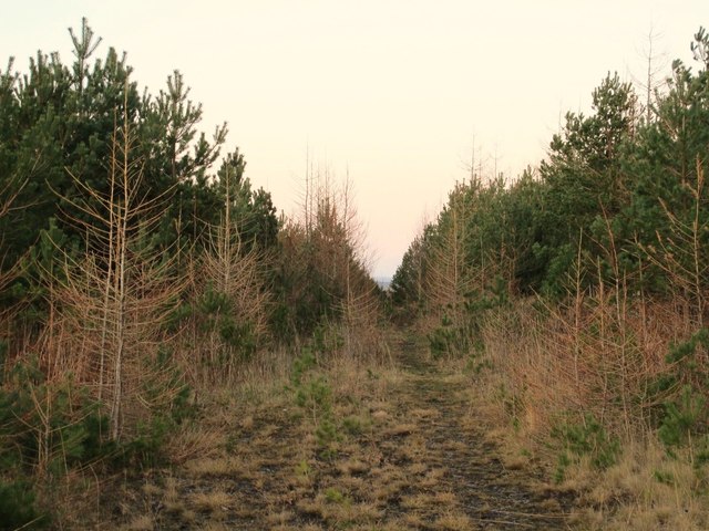
The woodland is primarily composed of native tree species, including oak, beech, and birch, which create a lush canopy overhead. These trees provide a suitable habitat for a wide range of wildlife, making it a popular destination for nature enthusiasts and birdwatchers. The plantation is home to a diverse array of bird species, such as woodpeckers, owls, and songbirds, which can be spotted throughout the year.
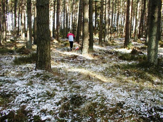
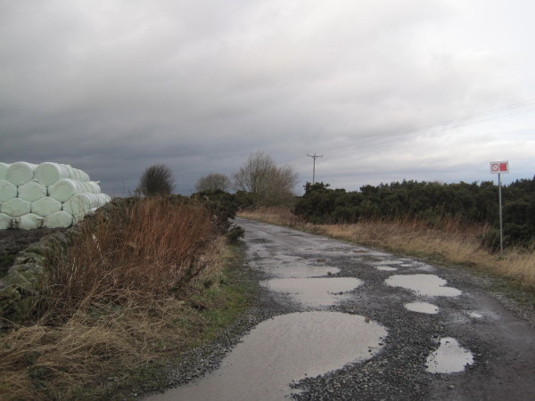
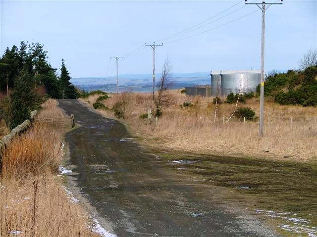
Visitors can explore the plantation through a network of well-maintained walking trails, allowing them to immerse themselves in the natural surroundings. The trails wind their way through the woodland, offering glimpses of picturesque ponds and babbling brooks along the way. Nature lovers can also indulge in activities such as picnicking, wildlife photography, and even camping in designated areas.
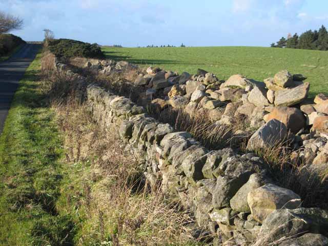
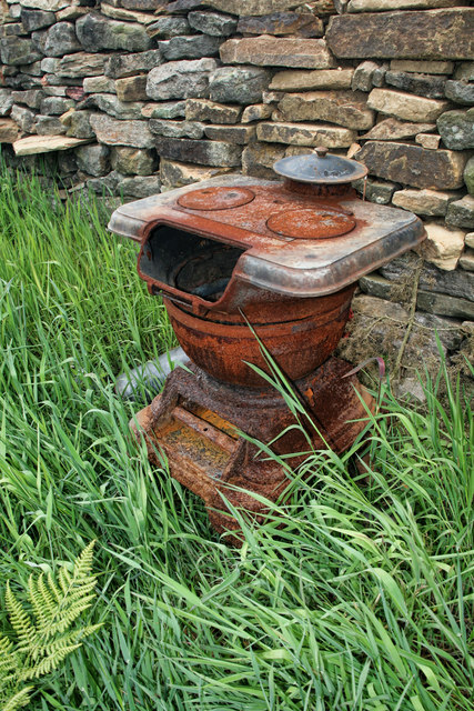
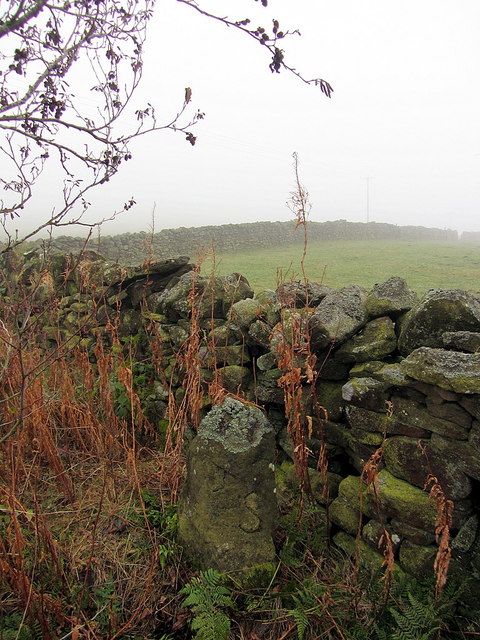
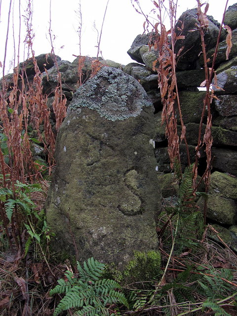
In addition to its natural beauty, Bats Plantation also holds historical significance. It is believed that the woodland has been in existence for several centuries, and remnants of old structures, such as stone walls and ancient pathways, can still be found within its boundaries.
Overall, Bats Plantation is a haven for those seeking solace in nature. With its stunning landscape, abundant wildlife, and rich history, it offers a truly memorable experience for all who visit.
If you have any feedback on the listing, please let us know in the comments section below.
Bats Plantation Images
Images are sourced within 2km of 54.898584/-2.0205362 or Grid Reference NY9855. Thanks to Geograph Open Source API. All images are credited.
Bats Plantation is located at Grid Ref: NY9855 (Lat: 54.898584, Lng: -2.0205362)
Unitary Authority: Northumberland
Police Authority: Northumbria
What 3 Words
///swims.anyway.screamed. Near Slaley, Northumberland
Nearby Locations
Related Wikis

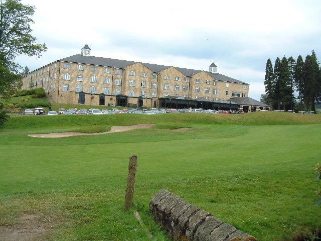
Slaley Hall
Slaley Hall is a country house golf resort in Northumberland in North East England, built by local developers Seamus O'Carroll and John Rourke which hosted...

Colpitts Grange
Colpitts Grange is a hamlet in Northumberland, England. It is about 7 miles (11 km) to the south-east of Hexham. == Governance == Colpitts Grange is in...

Slaley, Northumberland
Slaley is a village in Northumberland, England. It is situated to the southeast of Hexham. It is surrounded by the following villages: Ruffside, Whitley...

Healey, Northumberland
Healey is a rural estate and civil parish in Northumberland, England, situated between Riding Mill to the north and Slaley to the south. The neo-Norman...

Minsteracres
Minsteracres is an 18th-century mansion house, now a Christian retreat centre, in Northumberland, England. It is a Grade II listed building.The house was...

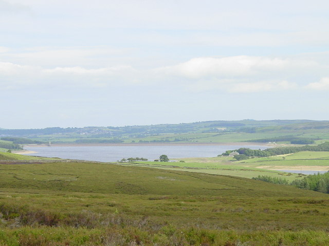
Derwent Reservoir (North East England)
The Derwent Reservoir is a reservoir on the River Derwent, on the border between County Durham and Northumberland, in England. It is west of Consett. It...

Pow Hill Bog
Pow Hill Bog is a Site of Special Scientific Interest in the Wear Valley district of County Durham, England. It lies alongside Derwent Reservoir, approximately...

Rowley Burn (Northumberland)
Rowley Burn (also known as Rowley Brook and Ham Burn, NY 9358) is a stream in Northumberland, running around three miles south of Hexham before joining...
Nearby Amenities
Located within 500m of 54.898584,-2.0205362Have you been to Bats Plantation?
Leave your review of Bats Plantation below (or comments, questions and feedback).