Crowle Green
Settlement in Worcestershire Wychavon
England
Crowle Green

The requested URL returned error: 429 Too Many Requests
If you have any feedback on the listing, please let us know in the comments section below.
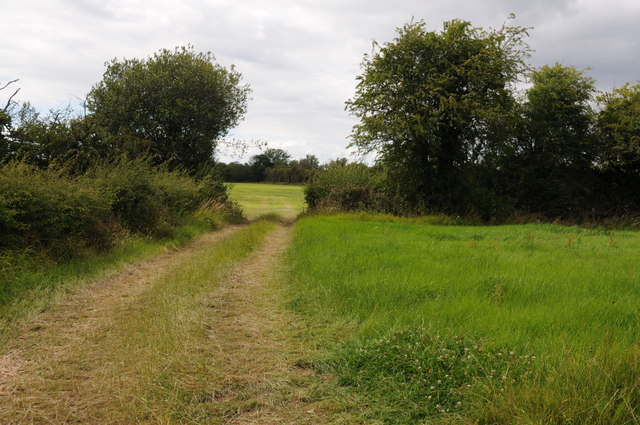
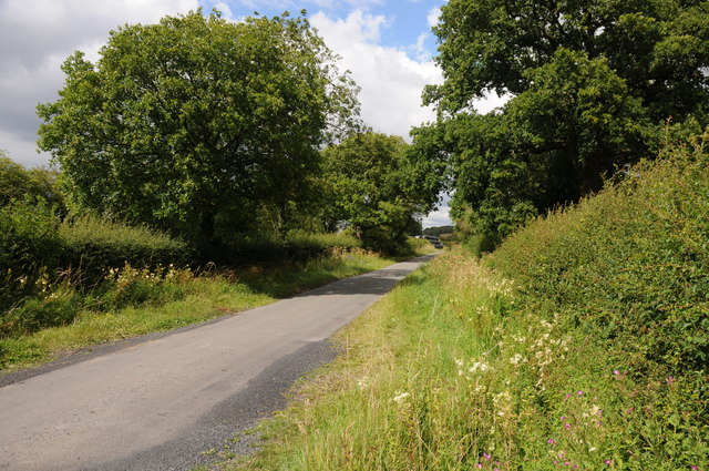
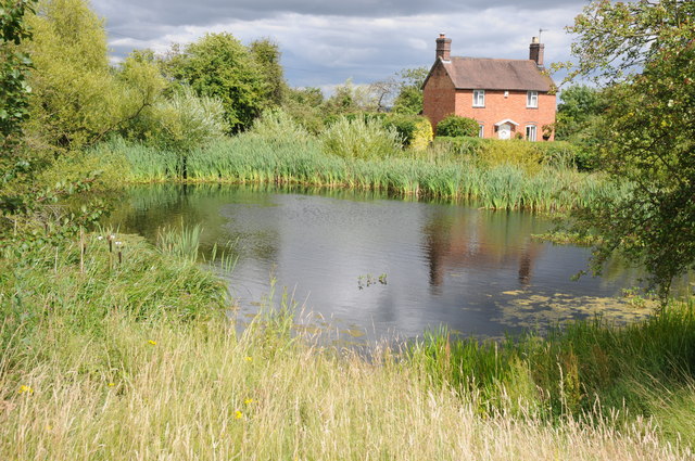
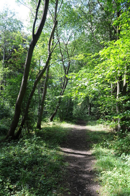
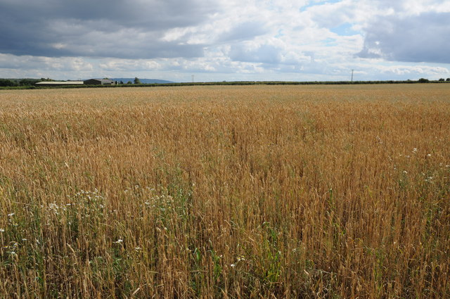
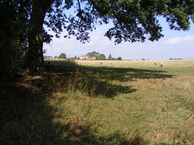
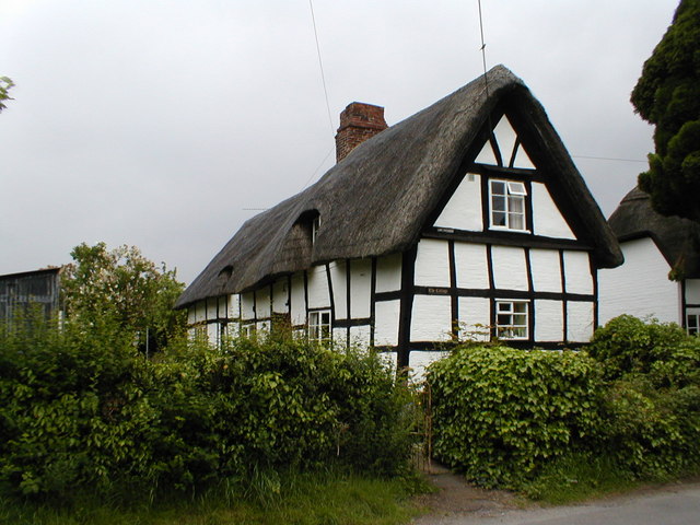
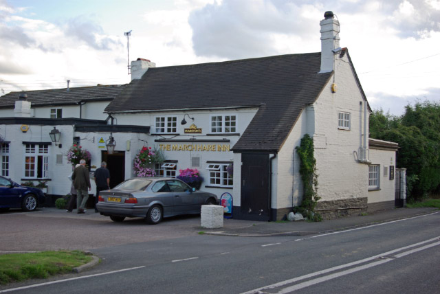
Crowle Green Images
Images are sourced within 2km of 52.207064/-2.116074 or Grid Reference SO9256. Thanks to Geograph Open Source API. All images are credited.


Crowle Green is located at Grid Ref: SO9256 (Lat: 52.207064, Lng: -2.116074)
Administrative County: Worcestershire
District: Wychavon
Police Authority: West Mercia
What 3 Words
///finer.polishing.sailing. Near Fernhill Heath, Worcestershire
Nearby Locations
Related Wikis
Crowle, Worcestershire
Crowle (rhymes with coal) is a village in Worcestershire, England situated 4 miles (6.4 km) east of Worcester. Crowle is known for its Church of England...

Tibberton, Worcestershire
Tibberton is a village in Worcestershire, England. It is located around 4 miles north-east of Worcester and less than a mile from junction 6 of the M5...
Broughton Hackett
Broughton Hackett is a village and civil parish in the Wychavon district of the county of Worcestershire, England. It is about 5 miles east of the city...

Bredicot railway station
Bredicot railway station served the village of Bredicot, Worcestershire, England, from 1845 to 1855 on the Birmingham and Gloucester Railway. == History... ==
Nearby Amenities
Located within 500m of 52.207064,-2.116074Have you been to Crowle Green?
Leave your review of Crowle Green below (or comments, questions and feedback).