Hall Plantation
Wood, Forest in Northumberland
England
Hall Plantation
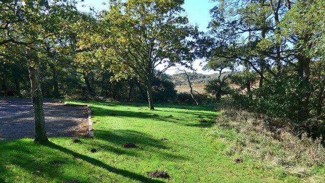
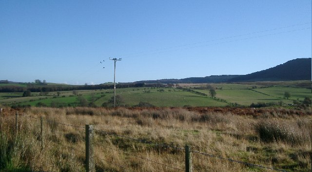
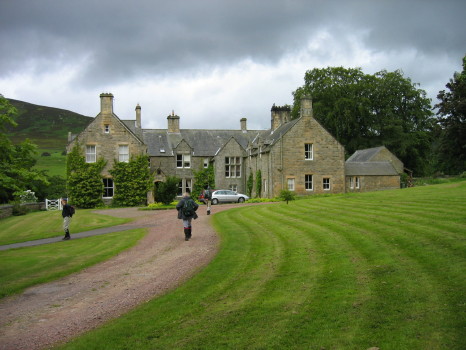
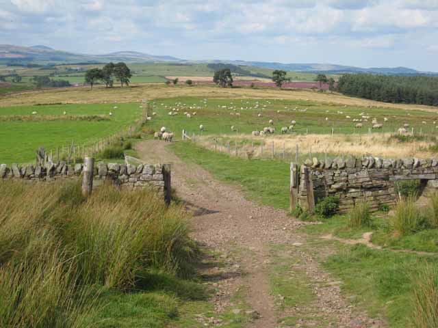
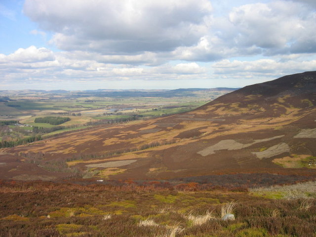
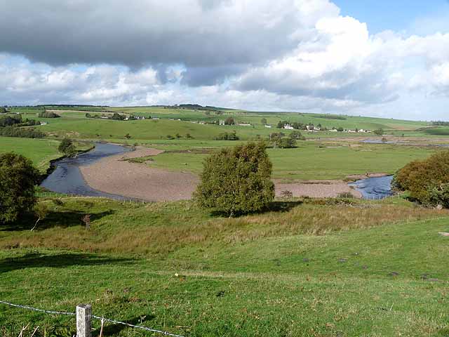
Hall Plantation is a scenic woodland located in Northumberland, England. Covering an expansive area of lush greenery and towering trees, the plantation is a haven for nature lovers and outdoor enthusiasts. The plantation is situated in close proximity to the picturesque village of Hall and is easily accessible via well-maintained trails and roads.
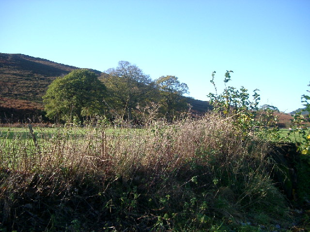
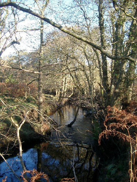
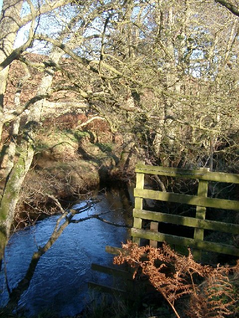
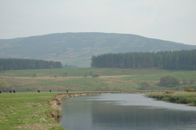
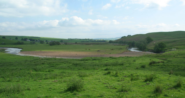
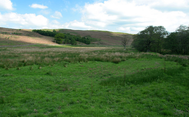
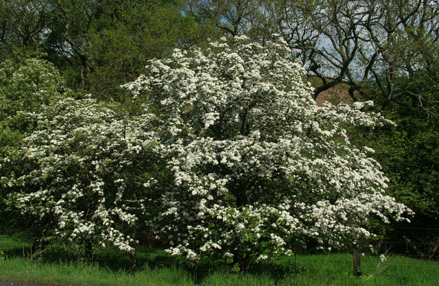
The woodland is characterized by its diverse range of flora and fauna, boasting a rich ecosystem that supports a variety of wildlife. The dense canopy of trees provides a cool and tranquil atmosphere, making it an ideal spot for leisurely walks and picnics. Visitors can explore the plantation's numerous trails that wind through the forest, offering glimpses of enchanting streams, vibrant wildflowers, and ancient tree groves.
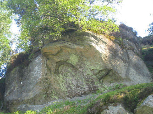
Hall Plantation is also home to several majestic oak trees, some of which are believed to be centuries old. These ancient oaks stand as a testament to the plantation's rich history and have been carefully preserved by local authorities. The plantation is a designated conservation area, ensuring the protection and maintenance of its natural beauty.
In addition to its natural wonders, Hall Plantation offers recreational facilities such as picnic areas, benches, and designated camping spots. These amenities make it an ideal destination for families and groups seeking a peaceful outdoor retreat. The plantation is also a popular venue for educational programs and environmental workshops, providing a unique learning experience for visitors of all ages.
Overall, Hall Plantation is a stunning woodland that combines natural beauty with recreational opportunities. Its idyllic setting and diverse ecosystem make it a must-visit destination for nature enthusiasts and those seeking solace in the great outdoors.
If you have any feedback on the listing, please let us know in the comments section below.
Hall Plantation Images
Images are sourced within 2km of 55.288261/-2.0240774 or Grid Reference NY9899. Thanks to Geograph Open Source API. All images are credited.


Hall Plantation is located at Grid Ref: NY9899 (Lat: 55.288261, Lng: -2.0240774)
Unitary Authority: Northumberland
Police Authority: Northumbria
What 3 Words
///sting.spooned.calibrate. Near Rothbury, Northumberland
Nearby Locations
Related Wikis

Reivers Way
The Reivers Way is a long-distance footpath in Northumberland, passing through the Northumberland National Park and the Cheviot Hills. Totalling 242 kilometres...

Hepple
Hepple is a small village and parish in rural Northumberland, 4 miles (6.4 km) west of Rothbury, which provides most of its local services. It is on the...

Tosson Hill
Tosson Hill is the highest hill in the Simonside Hills to the south of Rothbury in Northumberland, England. The summit lies about 2 kilometres (1.2 mi...
High Cove
High Cove is a major slip feature to the west of Grasslees Burn in the Simonside Hills, Northumberland, England. It contains several small rifts and caves...
Simonside Hills
The Simonside Hills are a hill range in Northumberland, England near the town of Rothbury. Most of the hills are around 300–400 metres (980–1,310 ft) high...

Holystone, Northumberland
Holystone is a small village and former civil parish, now in the parish of Harbottle, in Northumberland, England. It lies on the edge of (and just within...
Billsmoor Park and Grasslees Wood
Billsmoor Park and Grasslees Wood is the name given to a Site of Special Scientific Interest (SSSI) in Northumberland, North East England, designated in...

Thropton
Thropton is a hamlet in Northumberland, England, located on the River Coquet, and its tributary Wreigh Burn. With a population of 458 (2011 census) it...
Nearby Amenities
Located within 500m of 55.288261,-2.0240774Have you been to Hall Plantation?
Leave your review of Hall Plantation below (or comments, questions and feedback).