Black Brae

Downs, Moorland in Northumberland

England

Black Brae

Car park near Hepplewoodside Bridge
Car park near Hepplewoodside Bridge Credit: Gordon Brown

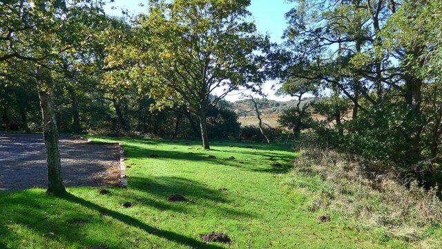
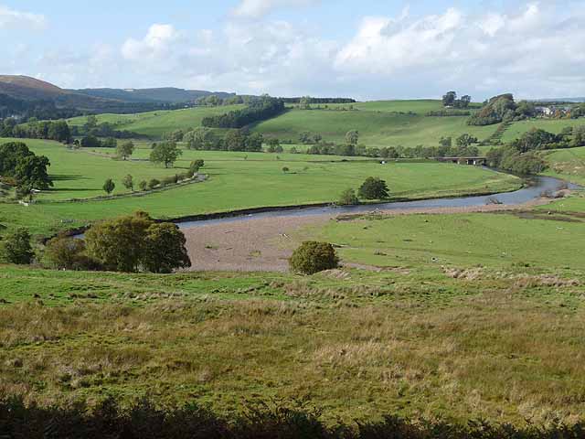
Black Brae is a scenic and picturesque area located in the county of Northumberland, England. Situated amidst the captivating landscape of the Northumberland Downs and Moorland, it offers visitors a unique blend of natural beauty and tranquility.

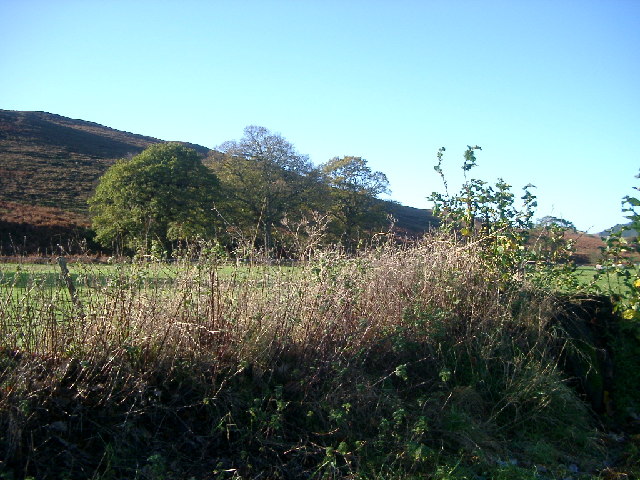
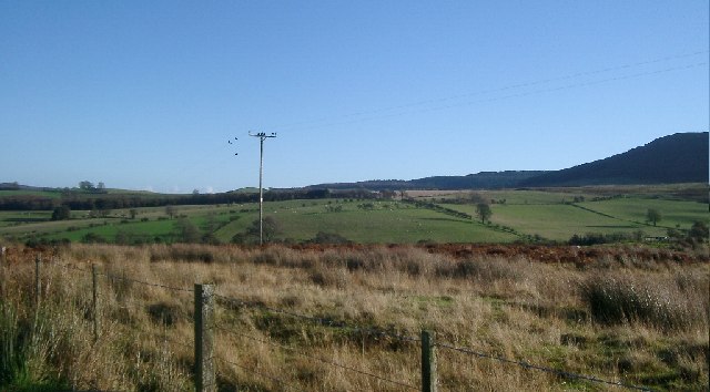
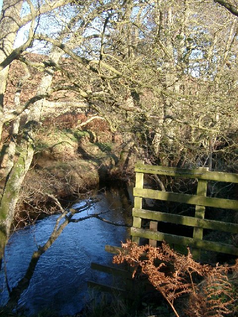
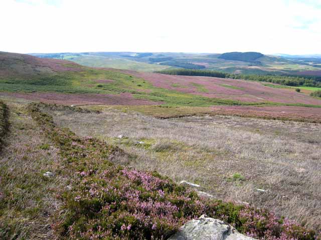
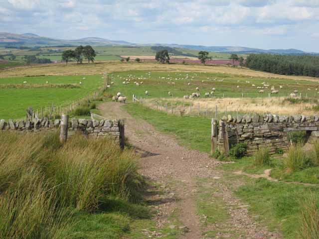
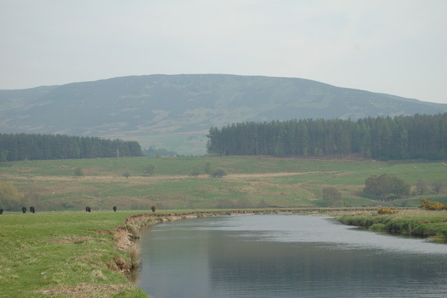
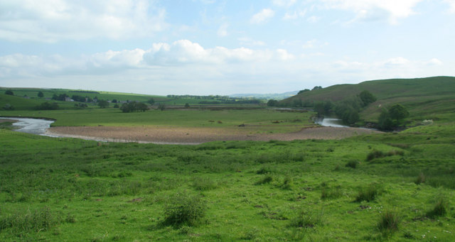
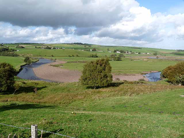
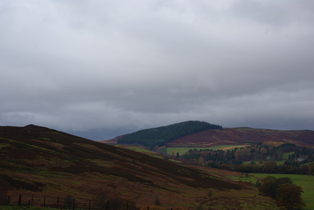
This area is renowned for its rolling hills, vast moorlands, and breathtaking views. Black Brae is characterized by its lush green fields, heather-covered moors, and scattered woodlands. The diverse terrain allows for a variety of outdoor activities such as hiking, bird watching, and photography.

The Northumberland Downs, which encompass Black Brae, are a designated Area of Outstanding Natural Beauty (AONB). This accolade is granted to areas that exhibit exceptional scenic beauty, distinctive wildlife, and significant cultural heritage. The Downs are home to an array of plant and animal species, including rare birds such as the curlew and red grouse.

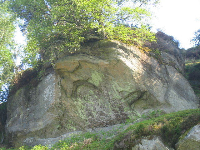
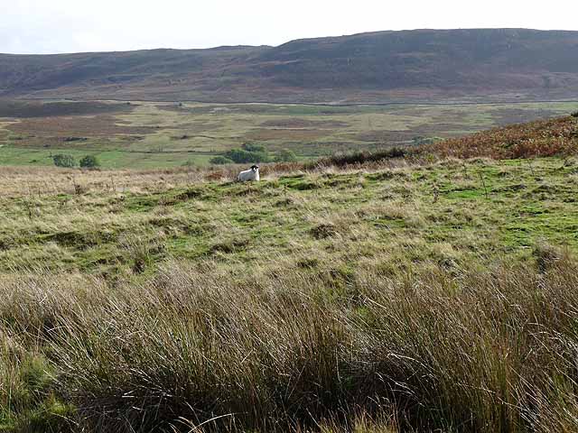
The moorland surrounding Black Brae is a vast expanse that provides a stark contrast to the rolling hills. It is characterized by its heather-covered landscapes, rocky outcrops, and peat bogs. Visitors can explore the moorland on foot or by following the numerous trails that wind through this rugged terrain.

Black Brae offers a peaceful retreat for those seeking solace in nature. The unspoiled beauty of the landscape, coupled with the absence of urban development, creates an idyllic setting for relaxation and rejuvenation. Whether you are a nature enthusiast, a keen hiker, or simply seeking a quiet escape, Black Brae is a must-visit destination in Northumberland.

If you have any feedback on the listing, please let us know in the comments section below.
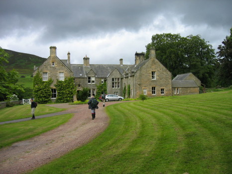
Black Brae Images

Images are sourced within 2km of 55.293402/-2.0197973 or Grid Reference NY9899. Thanks to Geograph Open Source API. All images are credited.

Car park near Hepplewoodside Bridge
Near Hepple, under Swindon Hill On the other side of the River Coquet from Hepple.
Near Hepple, under Swindon Hill
On the other side of the River Coquet from Hepple.
Top of Bickerton Knowe with fields beyond The road runs through the corner of this square, and the foreground is the square.
Top of Bickerton Knowe with fields beyond
The road runs through the corner of this square, and the foreground is the square.
Grasslees Burn near picnic area under Harehaugh Hill Taken downstream of the picnic area, towards the River Coquet.
Grasslees Burn near picnic area under Harehaugh Hill
Taken downstream of the picnic area, towards the River Coquet.
Hepple Whitefield A small country house built in the mid 19th century for Sir J W B Riddell. The house was altered in the 1890s, by J Hodgson Fowler, probably at the same time he rebuilt nearby Hepple Church in 1892.
Hepple Whitefield
A small country house built in the mid 19th century for Sir J W B Riddell. The house was altered in the 1890s, by J Hodgson Fowler, probably at the same time he rebuilt nearby Hepple Church in 1892.
Moorland above Hepplewoodside Looking across the valley of the Grasslees Burn.
Moorland above Hepplewoodside
Looking across the valley of the Grasslees Burn.
Beehives at Swindon in the valley of the Grasslees Burn
Fields above Hepple Whitefield On the bridleway down from the top of Harwood Forest to lower Coquetdale (in distance).
Fields above Hepple Whitefield
On the bridleway down from the top of Harwood Forest to lower Coquetdale (in distance).
River Coquet, near Hepple, and view of the Northumbrian hills
River Coquet The River Coquet near Hepple.
River Coquet
The River Coquet near Hepple.
Witchy Neuk From below the crags
Witchy Neuk
From below the crags
Hawthorn Blossom Hawthorn tree in blossom next to Grasslees Burn near Swindon.
Hawthorn Blossom
Hawthorn tree in blossom next to Grasslees Burn near Swindon.
Meander on the River Coquet Hepple village <a href="https://www.geograph.org.uk/gridref/NT9800">NT9800</a> in the middle distance.
Meander on the River Coquet
Hepple village NT9800 in the middle distance.
River Coquet Looking upstream with Hepple Bridge <a href="https://www.geograph.org.uk/gridref/NT9800">NT9800</a> in the middle distance.
River Coquet
Looking upstream with Hepple Bridge NT9800 in the middle distance.
Bickerton Knowe A small area of moorland on the south side of middle Coquetdale. The Simonside Hills beyond.
Bickerton Knowe
A small area of moorland on the south side of middle Coquetdale. The Simonside Hills beyond.
Simonside hills This shot is taken from Bickerton Knowe near to Hepple Whitefield Farm.
Simonside hills
This shot is taken from Bickerton Knowe near to Hepple Whitefield Farm.
View towards the Beacon
Hepple Whitefield Farm
Show me another place!

Black Brae is located at Grid Ref: NY9899 (Lat: 55.293402, Lng: -2.0197973)

Unitary Authority: Northumberland

Police Authority: Northumbria

What 3 Words

///cemented.durations.copy. Near Rothbury, Northumberland

Nearby Locations

Hall Plantation Black Brae

Related Wikis

Hepple

Hepple is a small village and parish in rural Northumberland, 4 miles (6.4 km) west of Rothbury, which provides most of its local services. It is on the...

Reivers Way

The Reivers Way is a long-distance footpath in Northumberland, passing through the Northumberland National Park and the Cheviot Hills. Totalling 242 kilometres...

Tosson Hill

Tosson Hill is the highest hill in the Simonside Hills to the south of Rothbury in Northumberland, England. The summit lies about 2 kilometres (1.2 mi...

High Cove

High Cove is a major slip feature to the west of Grasslees Burn in the Simonside Hills, Northumberland, England. It contains several small rifts and caves...

Simonside Hills

The Simonside Hills are a hill range in Northumberland, England near the town of Rothbury. Most of the hills are around 300–400 metres (980–1,310 ft) high...

Holystone, Northumberland

Holystone is a small village and former civil parish, now in the parish of Harbottle, in Northumberland, England. It lies on the edge of (and just within...

Thropton

Thropton is a hamlet in Northumberland, England, located on the River Coquet, and its tributary Wreigh Burn. With a population of 458 (2011 census) it...

Sharperton

Sharperton is a small settlement and former civil parish, now in the parish of Harbottle, in Northumberland, England. Sharperton is the site of a deserted...

Nearby Amenities

Located within 500m of 55.293402,-2.0197973
Bickerton Knowe
Place: locality
Lat/Long: 55.2914986/-2.0161253
Black Brae
Place: locality
Lat/Long: 55.2950045/-2.0167628
Cote Hill
Place: locality
Lat/Long: 55.2956791/-2.0147044
Power: pole
Lat/Long: 55.2936138/-2.0212983
Power: pole
Lat/Long: 55.2939502/-2.021245
Power: pole
Lat/Long: 55.2942092/-2.0229028
Power: pole
Lat/Long: 55.2948177/-2.0245463
Power: pole
Lat/Long: 55.2955206/-2.0248401
Power: pole
Lat/Long: 55.2962188/-2.0251224
The data included in this document is from www.openstreetmap.org. The data is made available under ODbL.

Have you been to Black Brae?

Leave your review of Black Brae below (or comments, questions and feedback).