Crowland

Settlement in Lincolnshire South Holland

England

Crowland

The Charm Tree, Corporation Bank. Crowland A project by Arts NK, with the tree offering fruit 'charms' designed by local school children to show what makes Crowland special.
The Charm Tree, Corporation Bank. Crowland Credit: Tim Heaton

The requested URL returned error: 429 Too Many Requests

If you have any feedback on the listing, please let us know in the comments section below.
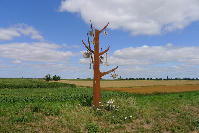
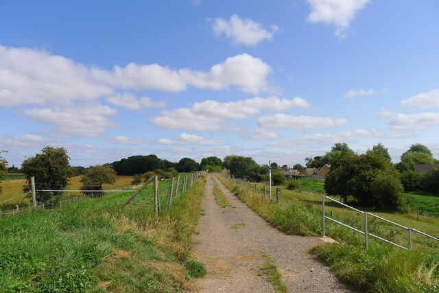
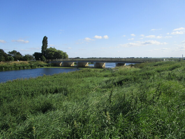
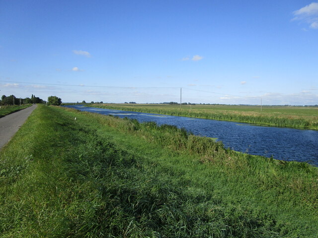
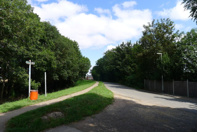
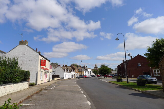
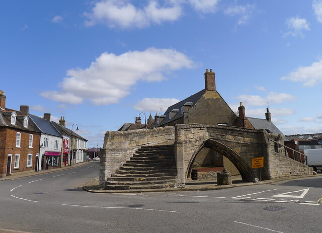
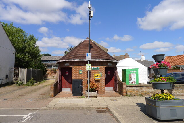
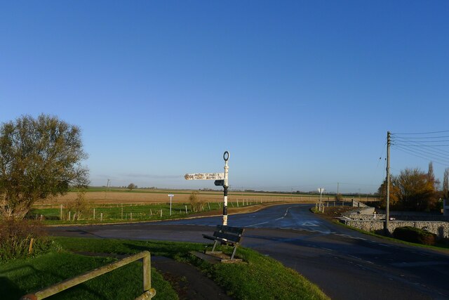
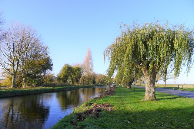
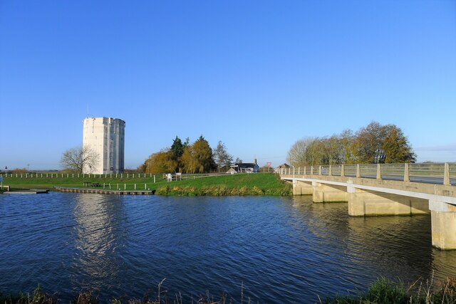
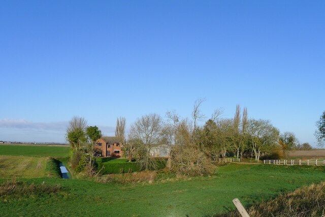
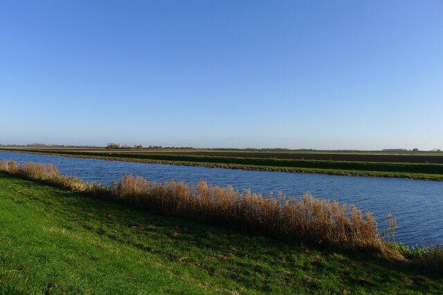
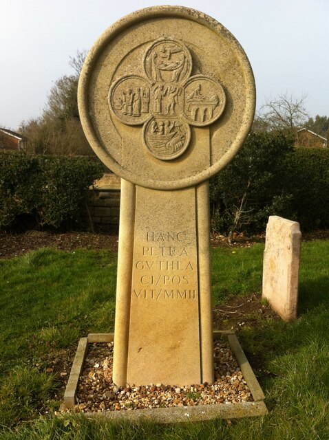
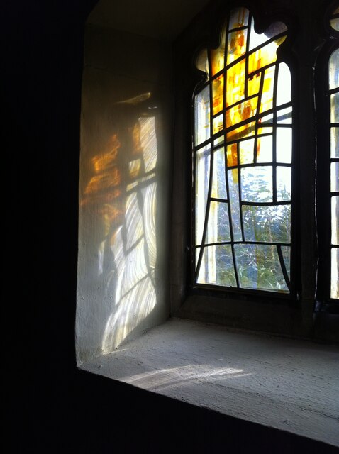
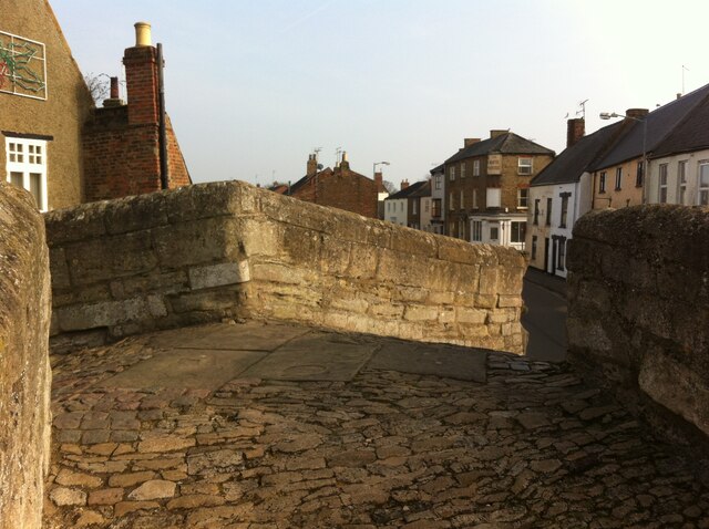
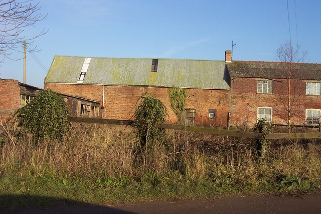
Crowland Images

Images are sourced within 2km of 52.675768/-0.168349 or Grid Reference TF2310. Thanks to Geograph Open Source API. All images are credited.

The Charm Tree, Corporation Bank. Crowland A project by Arts NK, with the tree offering fruit 'charms' designed by local school children to show what makes Crowland special.
The Charm Tree, Corporation Bank. Crowland
A project by Arts NK, with the tree offering fruit 'charms' designed by local school children to show what makes Crowland special.
On Corporation Bank, approaching Crowland
Fen Bridge near Crowland Crosses the River Welland.
Fen Bridge near Crowland
Crosses the River Welland.
The River Welland near Crowland
Cycle Route 12 entering Crowland Running beside West Bank road before turning left into the village
Cycle Route 12 entering Crowland
Running beside West Bank road before turning left into the village
West Street and The Crown Inn, Crowland
Trinity Bridge, Crowland "Crowland Bridge is unique. Built in 1360-90 by the Benedictine brethen over tributaries of the Nene and the River Welland it now stands high and dry near the market place." <span class="nowrap"><a title="https://heritage-explorer.lincolnshire.gov.uk/Monument/MLI20552" rel="nofollow ugc noopener" href="https://heritage-explorer.lincolnshire.gov.uk/Monument/MLI20552">Link</a><img style="margin-left:2px;" alt="External link" title="External link - shift click to open in new window" src="https://s1.geograph.org.uk/img/external.png" width="10" height="10"/></span>
The 18th century traveller Richard Gough regarded it as "The greatest curiosity in Britain, if not in Europe".
Trinity Bridge, Crowland
"Crowland Bridge is unique. Built in 1360-90 by the Benedictine brethen over tributaries of the Nene and the River Welland it now stands high and dry near the market place." LinkExternal link The 18th century traveller Richard Gough regarded it as "The greatest curiosity in Britain, if not in Europe".
Crowland Abbey "... founded in memory of St. Guthlac early in the eighth century ... destroyed and the community slaughtered by the Danes in 866 ... [further destruction and rebuilding, and finally rebuilt late 12th century] ... From this time the history of Crowland was one of growing and almost unbroken prosperity down to the time of the Dissolution. Richly endowed by royal and noble visitors to the shrine of St. Guthlac, it became one of the most opulent of East Anglian abbeys; and owing to its isolated position in the heart of the fen country, its security and peace were comparatively undisturbed during the great civil wars and other national troubles." <span class="nowrap"><a title="https://crowlandabbey.org.uk/" rel="nofollow ugc noopener" href="https://crowlandabbey.org.uk/">Link</a><img style="margin-left:2px;" alt="External link" title="External link - shift click to open in new window" src="https://s1.geograph.org.uk/img/external.png" width="10" height="10"/></span>
Crowland Abbey
"... founded in memory of St. Guthlac early in the eighth century ... destroyed and the community slaughtered by the Danes in 866 ... [further destruction and rebuilding, and finally rebuilt late 12th century] ... From this time the history of Crowland was one of growing and almost unbroken prosperity down to the time of the Dissolution. Richly endowed by royal and noble visitors to the shrine of St. Guthlac, it became one of the most opulent of East Anglian abbeys; and owing to its isolated position in the heart of the fen country, its security and peace were comparatively undisturbed during the great civil wars and other national troubles." LinkExternal link
Public conveniences, Crowland
Road junction outside Crowland
The Lake, Crowland The remains of a  channel which used to connect Crowland to the River Welland. The Road alongside is called 'Gravel Causeway'
The Lake, Crowland
The remains of a channel which used to connect Crowland to the River Welland. The Road alongside is called 'Gravel Causeway'
Crowland Water Tower and the Gravel Causeway Bridge The  bridge carries the B1166 over the River Welland
Crowland Water Tower and the Gravel Causeway Bridge
The bridge carries the B1166 over the River Welland
Tooley Farm, Crowland Common
The River Welland north of Crowland Looking from the road embankment across the river to the washlands of Crowland Fodder Lots
The River Welland north of Crowland
Looking from the road embankment across the river to the washlands of Crowland Fodder Lots
Monument to St Guthlac, Crowland Abbey This is an early 21st century monument to the Anglo-Saxon saint Guthlac, who sought the 'green martyrdom' of the solitary religious life in a remote place, in his case an island in the Fens, Crowland, where he died in 714. 

Two years later King Aethelbald of Mercia began the building of Crowland Abbey, in the grounds of which this monument stands. It is suggestive of a Celtic cross, with four roundels, placed crosswise, inside the circle. They depict scenes from the life of St Guthlac and are based on illustrations on the Guthlac Roll, produced by monks at the abbey around 1200, and now held at the British Library. Similar scenes can be seen in another four roundels carved over the west door of the now mostly ruined abbey church.

See this account from the blog A Clerk of Oxford <span class="nowrap"><a title="https://aclerkofoxford.blogspot.com/2014/04/a-pilgrimage-to-crowland.html" rel="nofollow ugc noopener" href="https://aclerkofoxford.blogspot.com/2014/04/a-pilgrimage-to-crowland.html">Link</a><img style="margin-left:2px;" alt="External link" title="External link - shift click to open in new window" src="https://s1.geograph.org.uk/img/external.png" width="10" height="10"/></span> . See also Martin & Nigel Palmer, Sacred Britain: A Guide to the Sacred Sites and Pilgrim Routes of England, Scotland & Wales, Piatkus, 1997, pp141-144.
Monument to St Guthlac, Crowland Abbey
This is an early 21st century monument to the Anglo-Saxon saint Guthlac, who sought the 'green martyrdom' of the solitary religious life in a remote place, in his case an island in the Fens, Crowland, where he died in 714. Two years later King Aethelbald of Mercia began the building of Crowland Abbey, in the grounds of which this monument stands. It is suggestive of a Celtic cross, with four roundels, placed crosswise, inside the circle. They depict scenes from the life of St Guthlac and are based on illustrations on the Guthlac Roll, produced by monks at the abbey around 1200, and now held at the British Library. Similar scenes can be seen in another four roundels carved over the west door of the now mostly ruined abbey church. See this account from the blog A Clerk of Oxford LinkExternal link . See also Martin & Nigel Palmer, Sacred Britain: A Guide to the Sacred Sites and Pilgrim Routes of England, Scotland & Wales, Piatkus, 1997, pp141-144.
A window at Crowland Abbey Early spring sunlight streams through modern stained glass in a window of Crowland Abbey. The medieval abbey is largely a ruin, but a Church of England parish church occupies part of the medieval abbey church, including the north aisle and bell tower. For more on Crowland Abbey see <a href="https://www.geograph.org.uk/photo/7372091">TF2410 : Monument to St Guthlac, Crowland Abbey</a>.
A window at Crowland Abbey
Early spring sunlight streams through modern stained glass in a window of Crowland Abbey. The medieval abbey is largely a ruin, but a Church of England parish church occupies part of the medieval abbey church, including the north aisle and bell tower. For more on Crowland Abbey see TF2410 : Monument to St Guthlac, Crowland Abbey.
View of South Street, Crowland, from Trinity Bridge South Street can be seen here from the summit of the unique 14th century three-pointed bridge.
View of South Street, Crowland, from Trinity Bridge
South Street can be seen here from the summit of the unique 14th century three-pointed bridge.
Show me another place!

Crowland is located at Grid Ref: TF2310 (Lat: 52.675768, Lng: -0.168349)

Division: Parts of Holland

Administrative County: Lincolnshire

District: South Holland

Police Authority: Lincolnshire

What 3 Words

///gave.wiggling.laminate. Near Crowland, Lincolnshire

Nearby Locations

The Lake Crowland

Related Wikis

Crowland

Crowland (modern usage) or Croyland (medieval era name and the one still in ecclesiastical use; cf. Latin: Croilandia) is a town in the South Holland district...

Trinity Bridge, Crowland

Trinity Bridge is a unique three-way stone arch bridge that stands at the heart of Crowland, Lincolnshire, England. While it once spanned the confluence...

Crowland Abbey

Crowland Abbey (historically often spelled Croyland Abbey; Latin: Croilandia) is a Church of England parish church, formerly part of a Benedictine abbey...

Fitton End

Fitton End is a hamlet in the civil parish of Newton-in-the-Isle, in the Fenland district, in the county of Cambridgeshire, England. It has a population...

Nearby Amenities

Located within 500m of 52.675768,-0.168349
Crowland
Is In: Lincolnshire, England, UK
Place: town
Population: 4748
Lat/Long: 52.6757315/-0.1684056
Bus Stop
Ambury Gardens
Bus: yes
Naptan AtcoCode: 270000009723
Naptan Bearing: N
Naptan CommonName: Ambury Gardens
Naptan Indicator: opp
Naptan Landmark: Ambury Gardens
Naptan NaptanCode: linjdtdj
Naptan Street: Hall Street
Naptan Verified: no
Public Transport: platform
Source: naptan_import
Lat/Long: 52.6770923/-0.1669805
Bus Stop
Ambury Gardens
Bus: yes
Naptan AtcoCode: 270000009724
Naptan Bearing: S
Naptan CommonName: Ambury Gardens
Naptan Indicator: adj
Naptan Landmark: Ambury Gardens
Naptan NaptanCode: linjdtdm
Naptan Street: Hall Street
Naptan Verified: no
Public Transport: platform
Source: naptan_import
Lat/Long: 52.6771168/-0.1668167
Bus Stop
Jareys Close
Bus: yes
Naptan AtcoCode: 270000009725
Naptan Bearing: NE
Naptan CommonName: Jareys Close
Naptan Indicator: opp
Naptan Landmark: Jareys Close
Naptan NaptanCode: linjdtdp
Naptan Street: West Street
Naptan Verified: no
Public Transport: platform
Source: naptan_import
Lat/Long: 52.6753379/-0.1703969
Bus Stop
South View Primary School
Bus: yes
Naptan AtcoCode: 270000009726
Naptan Bearing: SE
Naptan CommonName: South View Primary School
Naptan Indicator: adj
Naptan Landmark: South View Primary School
Naptan NaptanCode: linjdtdt
Naptan Street: Broadway
Naptan Verified: no
Public Transport: platform
Source: naptan_import
Lat/Long: 52.6732124/-0.168415
Bus Stop
South View Primary School
Bus: yes
Naptan AtcoCode: 270000009727
Naptan Bearing: NW
Naptan CommonName: South View Primary School
Naptan Indicator: opp
Naptan Landmark: South View Primary School
Naptan NaptanCode: linjdtdw
Naptan Street: Broadway
Naptan Verified: no
Public Transport: platform
Source: naptan_import
Lat/Long: 52.673047/-0.1681852
Bus Stop
Saint Guthlacs Secondary School
Bus: yes
Naptan AtcoCode: 270002701030
Naptan Bearing: NE
Naptan CommonName: Saint Guthlacs Secondary School
Naptan Indicator: outside
Naptan Landmark: Saint Guthlacs Secondary School
Naptan NaptanCode: linadtjt
Naptan Street: Postland Road
Naptan Verified: no
Public Transport: platform
Source: naptan_import
Lat/Long: 52.6785822/-0.1656459
Bus Stop
Jareys Close
Bus: yes
Naptan AtcoCode: 2700LCWS2420
Naptan Bearing: SW
Naptan CommonName: Jareys Close
Naptan Indicator: adj
Naptan Landmark: Jareys Close
Naptan NaptanCode: linapwtp
Naptan Street: West Street
Naptan Verified: no
Public Transport: platform
Source: naptan_import
Lat/Long: 52.6753181/-0.1702794
Give Way
Lat/Long: 52.6729486/-0.1643713
Turning Circle
Lat/Long: 52.677109/-0.1657042
Turning Circle
Lat/Long: 52.6775083/-0.1645496
Give Way
Direction: backward
Lat/Long: 52.6756483/-0.168422
Stop
Direction: forward
Lat/Long: 52.6733094/-0.1693976
Give Way
Lat/Long: 52.6753235/-0.1678501
Give Way
Direction: backward
Lat/Long: 52.6768977/-0.1693239
Bicycle Parking
Bicycle Parking: stands
Capacity: 6
Covered: no
Lat/Long: 52.6764686/-0.1668115
Abbey Farm
Historic Place: farm
Source: Bing
Lat/Long: 52.6753301/-0.1659843
The Little Abbey Bakery
Shop: bakery
Lat/Long: 52.6759182/-0.168208
Lincolnshire Co-op
Addr City: Crowland
Addr Country: GB
Addr Housenumber: 8-12
Addr Postcode: PE6 0ED
Addr Street: West Street
Brand: Lincolnshire Co-op
Brand Wikidata: Q6551231
Fhrs Authority: South Holland
Fhrs Id: 243387
Fhrs Local Authority Id: 209
Operator: Lincolnshire Co-operative Society
Shop: supermarket
Lat/Long: 52.6754357/-0.1689121
Give Way
Lat/Long: 52.6788702/-0.1716802
Give Way
Lat/Long: 52.6793662/-0.1697744
Give Way
Direction: forward
Lat/Long: 52.6758167/-0.1683938
Power: pole
Lat/Long: 52.6758176/-0.1757418
Power: pole
Lat/Long: 52.676458/-0.1752379
Power: pole
Lat/Long: 52.6772404/-0.1746448
Power: pole
Lat/Long: 52.6784943/-0.1740727
Power: pole
Lat/Long: 52.6791222/-0.1732964
Bridge Hardware
Shop: hardware
Lat/Long: 52.6757258/-0.1680762
Daniel Wright
Shop: hairdresser
Lat/Long: 52.6757755/-0.1679599
Kindergarten
Enya's Childcare
Addr City: Crowland
Addr Country: GB
Addr Housenumber: 34
Addr Postcode: PE6 0EW
Addr Street: Hall Street
Fhrs Authority: South Holland
Fhrs Id: 243575
Fhrs Local Authority Id: 30213
Lat/Long: 52.6776993/-0.1670587
Crowland Cancer Fund
Shop: charity
Lat/Long: 52.6760602/-0.1676866
Restaurant
Giuliano's Restaurant
Addr City: Crowland
Addr Country: GB
Addr Housenumber: 10
Addr Postcode: PE6 0EN
Addr Street: East Street
Fhrs Authority: South Holland
Fhrs Id: 243486
Fhrs Local Authority Id: 29946
Lat/Long: 52.6759983/-0.1679197
Fast Food
Crowland Kebab & Pizza
Addr City: Crowland
Addr Country: GB
Addr Housenumber: 6
Addr Postcode: PE6 0EN
Addr Street: East Street
Fhrs Authority: South Holland
Fhrs Id: 243004
Fhrs Local Authority Id: 31114
Lat/Long: 52.6759706/-0.168023
The Mainspring
Shop: antiques
Lat/Long: 52.6759505/-0.1682866
Fast Food
China Palace
Addr City: Crowland
Addr Country: GB
Addr Housenumber: 3A
Addr Postcode: PE6 0EG
Addr Street: North Street
Fhrs Authority: South Holland
Fhrs Id: 243494
Fhrs Local Authority Id: 16278
Lat/Long: 52.6760256/-0.1683376
Social Facility
Abbey Gate Residential Home
Addr City: Crowland
Addr Country: GB
Addr Housenumber: 9
Addr Postcode: PE6 0EG
Addr Street: North Street
Fhrs Authority: South Holland
Fhrs Id: 242955
Fhrs Local Authority Id: 119
Social Facility: group_home
Social Facility For: senior
Lat/Long: 52.6763636/-0.1685791
Pharmacy
Lloyds Pharmacy
Addr City: Crowland
Addr Country: GB
Addr Housenumber: 9-11
Addr Postcode: PE6 0EG
Addr Street: North Street
Brand: Lloyds Pharmacy
Brand Wikidata: Q6662870
Brand Wikipedia: en:LloydsPharmacy
Healthcare: pharmacy
Lat/Long: 52.6764278/-0.1686286
City & County
Office: estate_agent
Lat/Long: 52.6765366/-0.1687324
Abbeyview Windows
Craft: window_construction
Lat/Long: 52.6786084/-0.1698563
Kindergarten
Crowland Community Childcare
Addr City: Crowland
Addr Country: GB
Addr Housenumber: 44C
Addr Postcode: PE6 0EF
Addr Street: North Street
Fhrs Authority: South Holland
Fhrs Id: 243489
Fhrs Local Authority Id: 13891
Lat/Long: 52.6770781/-0.1696202
G & M Frisby
Addr City: Crowland
Addr Country: GB
Addr Housenumber: 18
Addr Postcode: PE6 0EF
Addr Street: North Street
Shop: butcher
Lat/Long: 52.6764671/-0.1691305
Fast Food
Eastern Spice
Addr City: Crowland
Addr Country: GB
Addr Housenumber: 16
Addr Postcode: PE6 0EF
Addr Street: North Street
Fhrs Authority: South Holland
Fhrs Id: 242840
Fhrs Local Authority Id: 122
Lat/Long: 52.6764112/-0.1690833
Fast Food
Frydays in Crowland
Addr City: Crowland
Addr Country: GB
Addr Housenumber: 10
Addr Postcode: PE6 0EF
Addr Street: North Street
Fhrs Authority: South Holland
Fhrs Id: 243136
Fhrs Local Authority Id: 121
Lat/Long: 52.6761512/-0.1689041
Cutting Crew
Shop: hairdresser
Lat/Long: 52.6760796/-0.1688316
Cafe
The Old Copper Kettle
Addr City: Spalding
Addr Country: GB
Addr Housenumber: 4
Addr Postcode: PE6 0EF
Addr Street: North Street
Addr Town: Crowland
Fhrs Authority: South Holland
Fhrs Id: 636048
Fhrs Local Authority Id: 36554
Lat/Long: 52.6760097/-0.168778
Cafe
The Old Paper Shop
Addr City: Crowland
Addr Country: GB
Addr Housenumber: 4
Addr Postcode: PE6 0EF
Addr Street: North Street
Fhrs Authority: South Holland
Fhrs Id: 852697
Fhrs Local Authority Id: 113
Lat/Long: 52.6758633/-0.1686814
Pub
The Crown Inn
Addr City: Crowland
Addr Country: GB
Addr Housenumber: 17
Addr Postcode: PE6 0EE
Addr Street: West Street
Fhrs Authority: South Holland
Fhrs Id: 242855
Fhrs Local Authority Id: 217
Lat/Long: 52.6755608/-0.1703283
Pharmacy
Crowland Pharmacy
Addr City: Crowland
Addr Country: GB
Addr Housenumber: 6
Addr Postcode: PE6 0ED
Addr Street: West Street
Healthcare: pharmacy
Operator: Warwick Healthcare Limited
Lat/Long: 52.6754795/-0.1686734
Passifloras
Shop: florist
Lat/Long: 52.675538/-0.168373
Bar
Crowland Royal British Legion Hall
Addr City: Crowland
Addr Country: GB
Addr Postcode: PE6 0AW
Addr Street: Broadway
Lat/Long: 52.672931/-0.1682872
Place Of Worship
Crowland Methodist Chapel
Addr City: Crowland
Addr Country: GB
Addr Postcode: PE6 0AN
Addr Street: Reform Street
Building: chapel
Denomination: methodist
Fhrs Authority: South Holland
Fhrs Id: 242912
Fhrs Local Authority Id: 16675
Religion: christian
Lat/Long: 52.6747135/-0.1678473
Noexit: yes
Lat/Long: 52.6791511/-0.1642501
Generator Method: photovoltaic
Generator Output Electricity: yes
Generator Source: solar
Generator Type: solar_photovoltaic_panel
Location: roof
Power: generator
Lat/Long: 52.6723594/-0.1705643
Generator Method: photovoltaic
Generator Output Electricity: yes
Generator Source: solar
Generator Type: solar_photovoltaic_panel
Location: roof
Power: generator
Lat/Long: 52.6723024/-0.1693197
Generator Method: photovoltaic
Generator Output Electricity: yes
Generator Source: solar
Generator Type: solar_photovoltaic_panel
Location: roof
Power: generator
Lat/Long: 52.6715478/-0.1694726
Generator Method: photovoltaic
Generator Output Electricity: yes
Generator Source: solar
Generator Type: solar_photovoltaic_panel
Location: roof
Power: generator
Lat/Long: 52.6719137/-0.1677372
Generator Method: photovoltaic
Generator Output Electricity: yes
Generator Source: solar
Generator Type: solar_photovoltaic_panel
Location: roof
Power: generator
Lat/Long: 52.6730717/-0.169309
Generator Method: photovoltaic
Generator Output Electricity: yes
Generator Source: solar
Generator Type: solar_photovoltaic_panel
Location: roof
Power: generator
Lat/Long: 52.6736621/-0.1650872
Generator Method: photovoltaic
Generator Output Electricity: yes
Generator Source: solar
Generator Type: solar_photovoltaic_panel
Location: roof
Power: generator
Lat/Long: 52.6739744/-0.1651864
Generator Method: photovoltaic
Generator Output Electricity: yes
Generator Source: solar
Generator Type: solar_photovoltaic_panel
Location: roof
Power: generator
Lat/Long: 52.6753324/-0.1719402
Generator Method: photovoltaic
Generator Output Electricity: yes
Generator Source: solar
Generator Type: solar_photovoltaic_panel
Location: roof
Power: generator
Lat/Long: 52.6779051/-0.1714843
Generator Method: photovoltaic
Generator Output Electricity: yes
Generator Source: solar
Generator Type: solar_photovoltaic_panel
Location: roof
Power: generator
Lat/Long: 52.6780189/-0.1708137
Generator Method: photovoltaic
Generator Output Electricity: yes
Generator Source: solar
Generator Type: solar_photovoltaic_panel
Location: roof
Power: generator
Lat/Long: 52.6788629/-0.1712241
Generator Method: photovoltaic
Generator Output Electricity: yes
Generator Source: solar
Generator Type: solar_photovoltaic_panel
Location: roof
Power: generator
Lat/Long: 52.6775929/-0.1634698
Generator Method: photovoltaic
Generator Output Electricity: yes
Generator Source: solar
Generator Type: solar_photovoltaic_panel
Location: roof
Power: generator
Lat/Long: 52.6756495/-0.1614072
Barrier: bollard
Bicycle: yes
Foot: yes
Horse: yes
Motor Vehicle: no
Lat/Long: 52.6734272/-0.1704946
Fleur Jasmine
Addr City: Crowland
Addr Housenumber: 4
Addr Postcode: PE6 0EN
Addr Street: East Street
Shop: clothes
Lat/Long: 52.6759442/-0.1681209
Access: permissive
Man Made: water_tap
Lat/Long: 52.676389/-0.1656196
Man Made: beacon
Lat/Long: 52.675218/-0.1640132
Booth: K6
Covered: booth
Disused Amenity: telephone
Information: map
Man Made: telephone_box
Tourism: information
Lat/Long: 52.6753894/-0.1692263
Defibrillator
Defibrillator Location: outside public toilets, West Street, Crowland (opposite Co-op)
Emergency: defibrillator
Indoor: no
Ref GB The Circuit: 8FC78249-06C4-492C-A6CE-AE4A00C32415
Lat/Long: 52.6756601/-0.1690603
Crowland Roll of Honour
Historic: memorial
Inscription: (front) // Their name liveth for evermore // To our glorious dead // This memorial was erected in grateful memory of the men from this parish who made the supreme sacrifice in the Great War // 1914-1918 // Crowland Roll of Honour 1935-1945 // [names]
Material: stone
Memorial: war_memorial
Lat/Long: 52.6761396/-0.1674367
All Sorts
Shop: yes
Lat/Long: 52.6757038/-0.1681284
Height: 5
Man Made: surveillance
Note: camera, public, town, panning
Lat/Long: 52.6756173/-0.1691014
Artwork Type: statue
Material: stone
Note: either Jesus or King Æthelbald
Tourism: artwork
Lat/Long: 52.6756337/-0.1682482
Information: guidepost
Tourism: information
Lat/Long: 52.6764462/-0.1659689
Waste Basket
Lat/Long: 52.6757435/-0.1685639
Bench
Lat/Long: 52.6757681/-0.1685623
Bench
Lat/Long: 52.6757907/-0.1685639
Information: guidepost
Tourism: information
Lat/Long: 52.6758127/-0.1685373
Information: board
Tourism: information
Lat/Long: 52.6758169/-0.1685649
Entrance: yes
Lat/Long: 52.6757314/-0.1685934
Waste Basket
Lat/Long: 52.6753575/-0.1691941
Bench
Lat/Long: 52.6753744/-0.1692262
Bench
Lat/Long: 52.6754837/-0.1690241
Waste Basket
Lat/Long: 52.6756019/-0.1684592
Bench
Lat/Long: 52.6776073/-0.1694962
The data included in this document is from www.openstreetmap.org. The data is made available under ODbL.

Have you been to Crowland?

Leave your review of Crowland below (or comments, questions and feedback).