Crowlas
Settlement in Cornwall
England
Crowlas

The requested URL returned error: 429 Too Many Requests
If you have any feedback on the listing, please let us know in the comments section below.
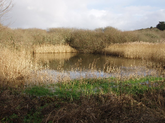
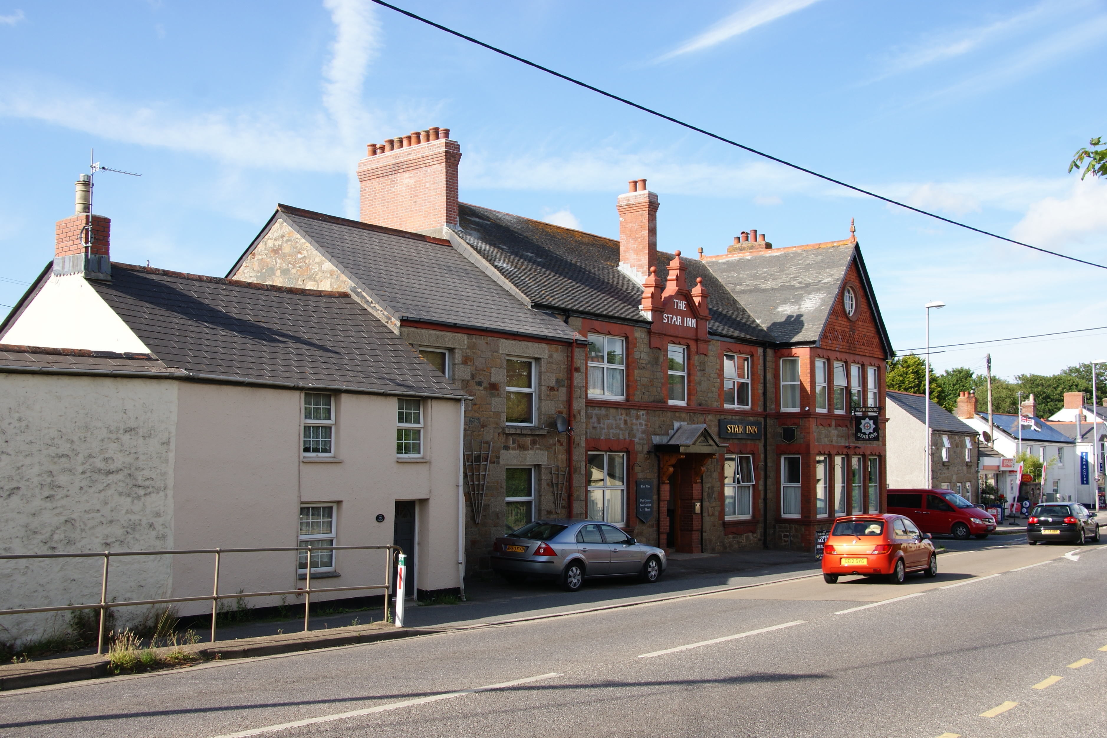
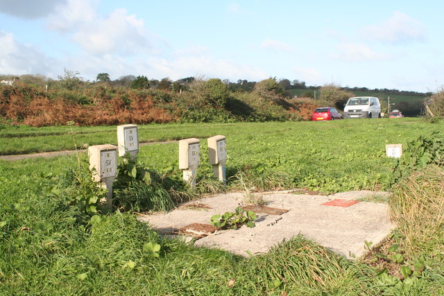
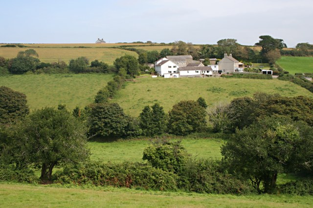
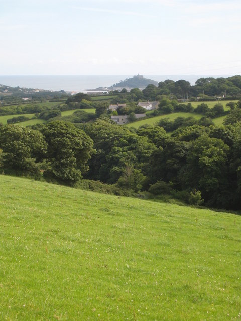
Crowlas Images
Images are sourced within 2km of 50.146706/-5.476238 or Grid Reference SW5133. Thanks to Geograph Open Source API. All images are credited.


Crowlas is located at Grid Ref: SW5133 (Lat: 50.146706, Lng: -5.476238)
Unitary Authority: Cornwall
Police Authority: Devon and Cornwall
What 3 Words
///reworked.younger.shifts. Near Marazion, Cornwall
Nearby Locations
Related Wikis
Crowlas
Crowlas is a village in Cornwall, England, on the A30 about three miles east of Penzance. It forms a small conurbation with Ludgvan within the parish of...
Cockwells
Cockwells is a hamlet in the civil parish of Ludgvan in Cornwall, England and situated on the A30 road north-east of the village of Crowlas. == References ==
Nanceddan
Nanceddan is a farm north of Ludgvan in west Cornwall, England. == See also == List of farms in Cornwall == References ==
Vellanoweth
Vellanoweth (Cornish: Melyn Nowyth, meaning new mill) is a hamlet near Ludgvan in Cornwall, England. == References ==
Nearby Amenities
Located within 500m of 50.146706,-5.476238Have you been to Crowlas?
Leave your review of Crowlas below (or comments, questions and feedback).