Wreighill Covert

Wood, Forest in Northumberland

England

Wreighill Covert

Sheep in the field near Plainfield. The Cheviots can be seen on the skyline. It is just possible to make out the scar of Biddlestone Quarry <a href="https://www.geograph.org.uk/gridref/NT9608">NT9608</a> to the left at the foot of the hills.
Sheep in the field near Plainfield. Credit: Oliver Dixon

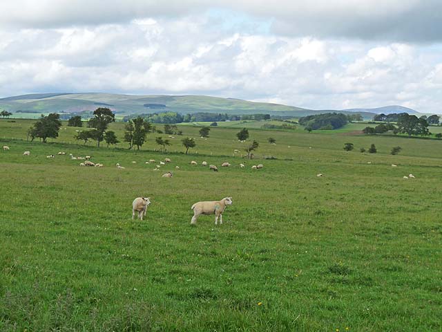
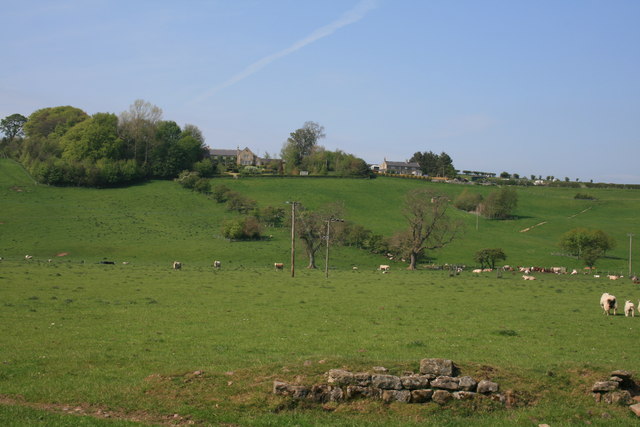
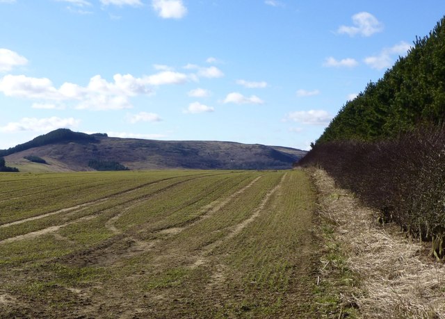
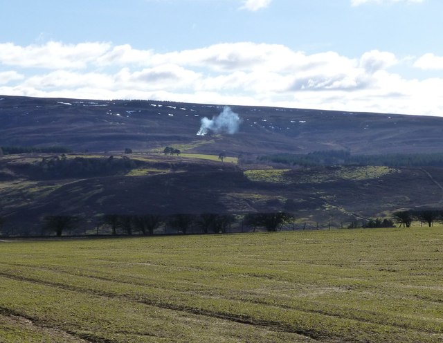
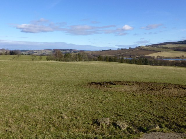
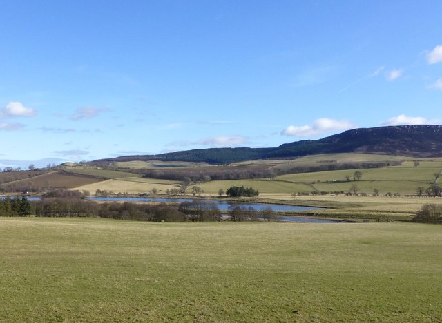
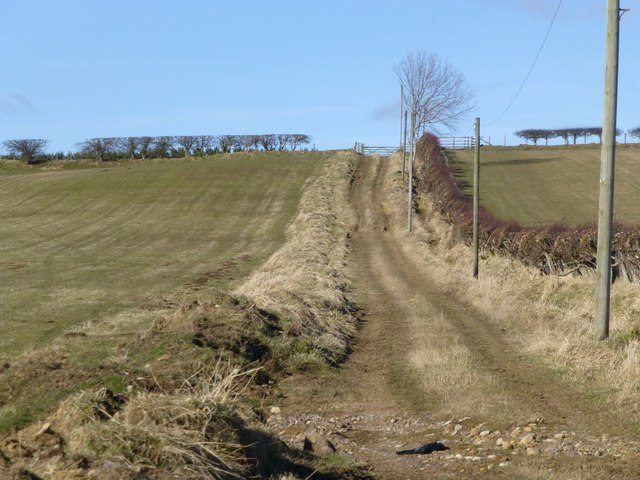
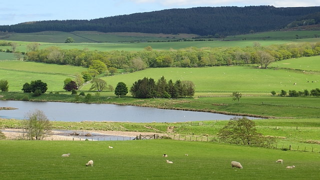
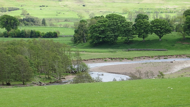
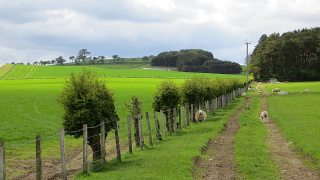
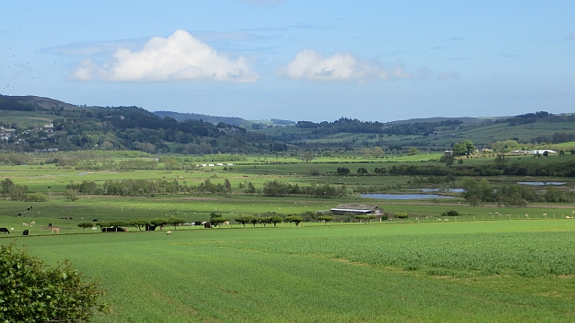
Wreighill Covert is a picturesque woodland located in the county of Northumberland, England. Situated in the heart of Northumberland National Park, it covers an area of approximately 200 acres. The covert is renowned for its natural beauty and diverse range of flora and fauna, making it a popular destination for nature lovers and wildlife enthusiasts.

The woodland is predominantly made up of native broadleaf trees such as oak, beech, and birch, which create a dense canopy, providing shelter for a variety of woodland creatures. The forest floor is adorned with a carpet of bluebells in the spring, creating a stunning display of color and fragrance.

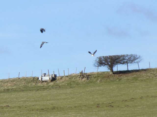
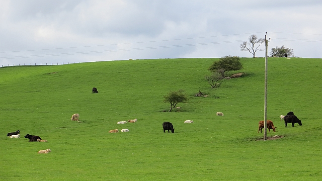
Wreighill Covert is home to a rich array of wildlife, including red squirrels, badgers, and a variety of bird species such as woodpeckers and owls. The woodland also provides habitat for several rare and protected species, including the endangered great crested newt.

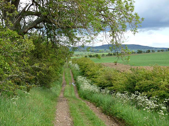
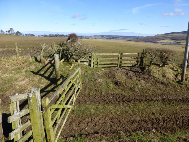
The covert offers a network of well-maintained footpaths, allowing visitors to explore its beauty on foot. There are also designated picnic areas where visitors can relax and enjoy the tranquil surroundings. The woodland is open to the public throughout the year, free of charge.

In addition to its natural wonders, Wreighill Covert has historical significance, with remnants of ancient settlements and structures scattered throughout the area. These archaeological sites provide insight into the region's past, adding another layer of intrigue to this enchanting woodland.

Overall, Wreighill Covert is a haven of tranquility and natural beauty, offering visitors a chance to immerse themselves in the wonders of Northumberland's woodlands.

If you have any feedback on the listing, please let us know in the comments section below.

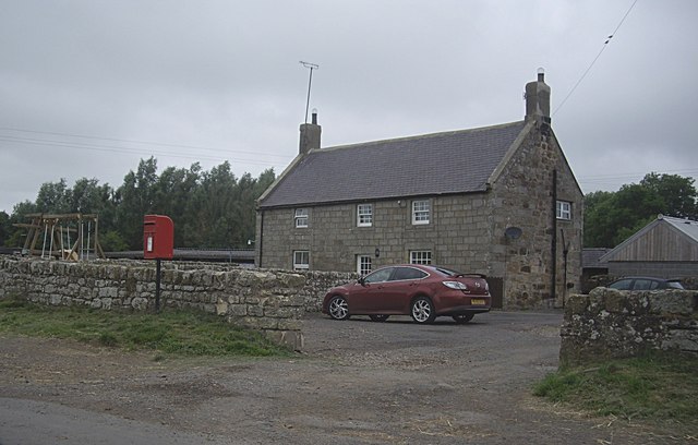
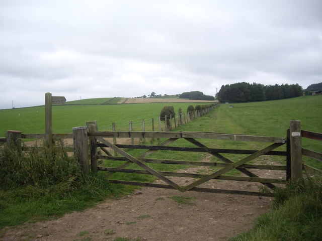
Wreighill Covert Images

Images are sourced within 2km of 55.314823/-2.026914 or Grid Reference NT9802. Thanks to Geograph Open Source API. All images are credited.

Sheep in the field near Plainfield. The Cheviots can be seen on the skyline. It is just possible to make out the scar of Biddlestone Quarry <a href="https://www.geograph.org.uk/gridref/NT9608">NT9608</a> to the left at the foot of the hills.
Sheep in the field near Plainfield.
The Cheviots can be seen on the skyline. It is just possible to make out the scar of Biddlestone Quarry NT9608 to the left at the foot of the hills.
Old public road to Low Trewhitt Long Crag <a href="https://www.geograph.org.uk/gridref/NU0606">NU0606</a> can be seen on the skyline.
Old public road to Low Trewhitt
Long Crag NU0606 can be seen on the skyline.
West Hepple
West Hepple
Hedge between forest and growing cereal The wooded hill, The Beacon, across the River Coquet in the distance.
Hedge between forest and growing cereal
The wooded hill, The Beacon, across the River Coquet in the distance.
Looking across growing cereal Muirburn just starting on Whitefield Shank leading up to Whitefield Hill across the River Coquet.
Looking across growing cereal
Muirburn just starting on Whitefield Shank leading up to Whitefield Hill across the River Coquet.
View across pasture To Caistron Nature Reserve beyond the River Coquet.
Simonside Hills on the right.
View across pasture
To Caistron Nature Reserve beyond the River Coquet. Simonside Hills on the right.
Pasture beside the River Coquet The Caistron Nature Reserve formed in the wet pits left after extraction of gravel lies across the river.
Simonside Hills in the distance.
Pasture beside the River Coquet
The Caistron Nature Reserve formed in the wet pits left after extraction of gravel lies across the river. Simonside Hills in the distance.
Hedges, gates and fences north of Hepple Across the pasture to the right is the Caistron Nature Reserve.
Hedges, gates and fences north of Hepple
Across the pasture to the right is the Caistron Nature Reserve.
Byway from Hepple to Wreighill
Lapwings take off Tumbling acrobatic fliers!
Lapwings take off
Tumbling acrobatic fliers!
Gravel pits, Caistron Flooded gravel pits on the Coquet flood plain.  The subsequent lough is now a trout fishery.
Gravel pits, Caistron
Flooded gravel pits on the Coquet flood plain. The subsequent lough is now a trout fishery.
River Coquet Upstream of the gravel pits at Caistron.
River Coquet
Upstream of the gravel pits at Caistron.
Farm track, Caistron
Former hedgerow Hillside above Caistron where a few surviving thorn trees show where there was once a field boundary.
Former hedgerow
Hillside above Caistron where a few surviving thorn trees show where there was once a field boundary.
Field, Coquetdale View downstream from the B6341.
Field, Coquetdale
View downstream from the B6341.
Road junction at Flotterton Mill Minor road to Harbottle, off B6341 (Thropton to Hepple).
Road junction at Flotterton Mill
Minor road to Harbottle, off B6341 (Thropton to Hepple).
Flotterton on B6341 House and rural postbox.
Flotterton on B6341
House and rural postbox.
Shut the gate! A 5-bar wooden gate on the public pathway between Caistron and Low Farnham, where the path crosses the B9361 (rothbury to Otterburn road).
Shut the gate!
A 5-bar wooden gate on the public pathway between Caistron and Low Farnham, where the path crosses the B9361 (rothbury to Otterburn road).
Show me another place!

Wreighill Covert is located at Grid Ref: NT9802 (Lat: 55.314823, Lng: -2.026914)

Unitary Authority: Northumberland

Police Authority: Northumbria

What 3 Words

///hides.plea.misfits. Near Rothbury, Northumberland

Related Wikis

Hepple

Hepple is a small village and parish in rural Northumberland, 4 miles (6.4 km) west of Rothbury, which provides most of its local services. It is on the...

Holystone, Northumberland

Holystone is a small village and former civil parish, now in the parish of Harbottle, in Northumberland, England. It lies on the edge of (and just within...

Reivers Way

The Reivers Way is a long-distance footpath in Northumberland, passing through the Northumberland National Park and the Cheviot Hills. Totalling 242 kilometres...

Sharperton

Sharperton is a small settlement and former civil parish, now in the parish of Harbottle, in Northumberland, England. Sharperton is the site of a deserted...

Burradon, Northumberland

Burradon is a village and former civil parish, now in the parish of Netherton, in Northumberland, England. It is about 14 miles (23 km) to the south-west...

Snitter

Snitter is a village and civil parish in Northumberland, England. It is near the Northumberland National Park. The closest town is Rothbury. == Governance... ==

Thropton

Thropton is a hamlet in Northumberland, England, located on the River Coquet, and its tributary Wreigh Burn. With a population of 458 (2011 census) it...

Tosson Hill

Tosson Hill is the highest hill in the Simonside Hills to the south of Rothbury in Northumberland, England. The summit lies about 2 kilometres (1.2 mi...

Nearby Amenities

Located within 500m of 55.314823,-2.026914
Wreighill Pike
Ele: 219
Natural: peak
Place: locality
Lat/Long: 55.3137305/-2.0317858
The data included in this document is from www.openstreetmap.org. The data is made available under ODbL.

Have you been to Wreighill Covert?

Leave your review of Wreighill Covert below (or comments, questions and feedback).