West Softley Plantation

Wood, Forest in Durham

England

West Softley Plantation

Moor House beside B6278 Moor House is a small, deserted property beside the B6278 south of Stanhope. Scurfield House is partly hidden by the right hand tree.
Moor House beside B6278 Credit: Trevor Littlewood

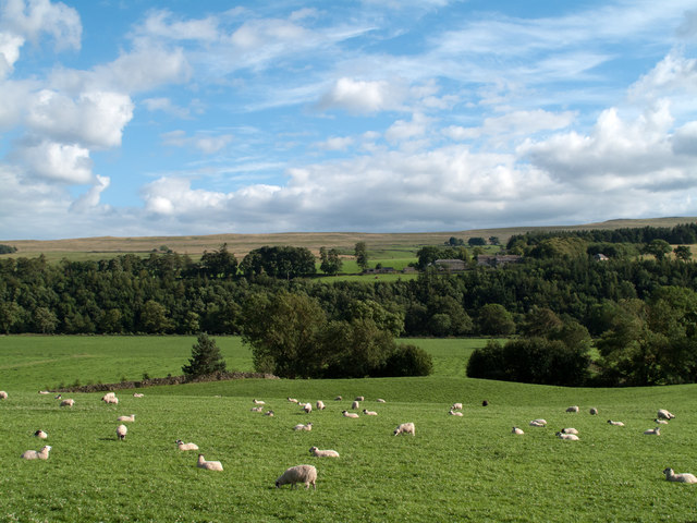
West Softley Plantation is a sprawling woodland located in Durham, England. Covering an impressive area of over 500 acres, it is renowned for its dense forests and diverse range of plant and animal species. The plantation is situated in the heart of the Durham countryside, providing a tranquil and picturesque setting for nature enthusiasts and visitors alike.

The woodland is predominantly composed of deciduous and coniferous trees, including oak, beech, and pine. These trees not only provide a stunning visual display throughout the seasons but also offer a vital habitat for various wildlife species. It is common to spot deer, rabbits, foxes, and a variety of bird species within the plantation.

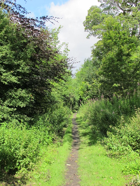
West Softley Plantation is carefully managed to preserve its natural beauty and biodiversity. The management practices include selective logging and controlled burns to encourage new growth and maintain a healthy ecosystem. Additionally, the plantation features well-maintained walking trails that allow visitors to explore the woodland and appreciate its natural splendor.

The plantation also serves as an educational resource for students and researchers, providing opportunities for ecological studies and environmental research. Many organizations and educational institutions collaborate with the plantation to conduct surveys and gather data on the local flora and fauna.

Overall, West Softley Plantation is a remarkable woodland in Durham that showcases the beauty of nature and serves as a valuable habitat for wildlife. Its careful management and educational initiatives contribute to the preservation of the local ecosystem and make it a cherished destination for nature lovers and researchers alike.

If you have any feedback on the listing, please let us know in the comments section below.

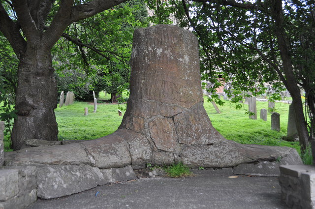
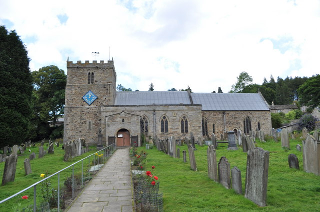
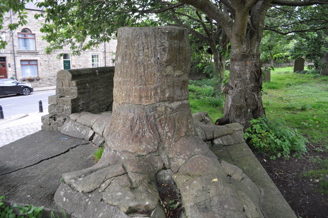
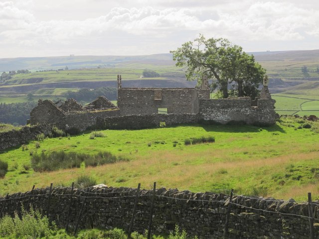
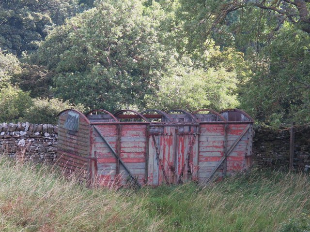
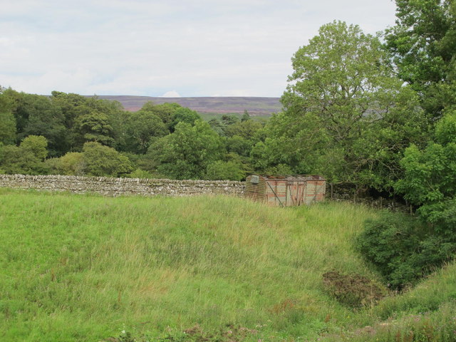
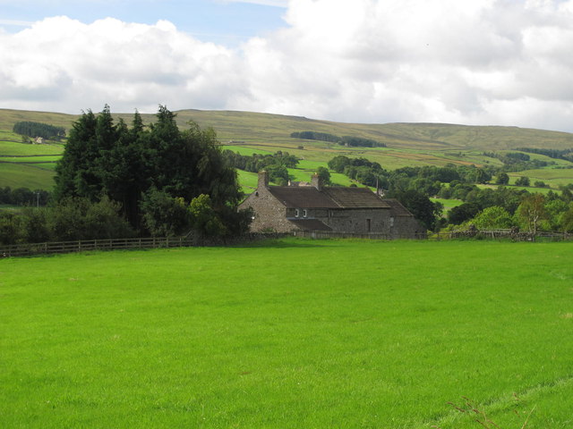
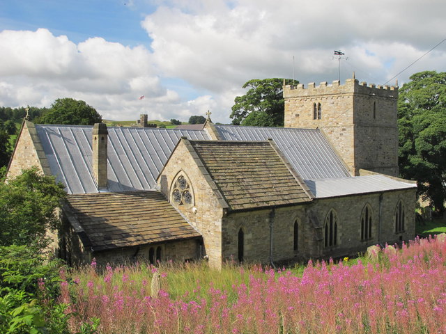
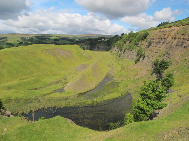
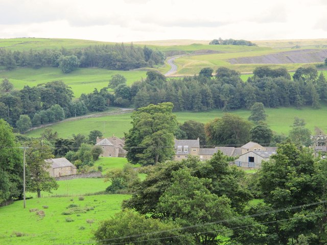
West Softley Plantation Images

Images are sourced within 2km of 54.743989/-2.0266392 or Grid Reference NY9838. Thanks to Geograph Open Source API. All images are credited.

Moor House beside B6278 Moor House is a small, deserted property beside the B6278 south of Stanhope. Scurfield House is partly hidden by the right hand tree.
Moor House beside B6278
Moor House is a small, deserted property beside the B6278 south of Stanhope. Scurfield House is partly hidden by the right hand tree.
Stanhope Tree A preserved Sigillaria tree from the mid Carboniferous coal swamps. Instead of joining its coal friends it rotted away but was covered in sand which left a cast. <span class="nowrap"><a title="http://arthuride.files.wordpress.com/2010/12/sigillaria-tree1.jpg" rel="nofollow ugc noopener" href="http://arthuride.files.wordpress.com/2010/12/sigillaria-tree1.jpg">Link</a><img style="margin-left:2px;" alt="External link" title="External link - shift click to open in new window" src="https://s1.geograph.org.uk/img/external.png" width="10" height="10"/></span>

Preserved at a sand quarry it was brought here and erected in front of the church. The bark and root impressions are very good.
Stanhope Tree
A preserved Sigillaria tree from the mid Carboniferous coal swamps. Instead of joining its coal friends it rotted away but was covered in sand which left a cast. LinkExternal link Preserved at a sand quarry it was brought here and erected in front of the church. The bark and root impressions are very good.
St Thomas the Apostle Church, Stanhope The Church is an ancient structure, standing on the north side of the town. It is mainly of the Norman period, with its oldest portion being the lower stages of the tower. It consists of nave, aisles, chancel, south porch, and western tower. The chantry chapel at the east end of the south aisle, and dedicated to St. Mary, was probably added about 1225. (Carol Bleasdale)
St Thomas the Apostle Church, Stanhope
The Church is an ancient structure, standing on the north side of the town. It is mainly of the Norman period, with its oldest portion being the lower stages of the tower. It consists of nave, aisles, chancel, south porch, and western tower. The chantry chapel at the east end of the south aisle, and dedicated to St. Mary, was probably added about 1225. (Carol Bleasdale)
Stanhope Tree A preserved Sigillaria tree from the mid Carboniferous coal swamps. Instead of joining its coal friends it rotted away but was covered in sand which left a cast. <span class="nowrap"><a title="http://arthuride.files.wordpress.com/2010/12/sigillaria-tree1.jpg" rel="nofollow ugc noopener" href="http://arthuride.files.wordpress.com/2010/12/sigillaria-tree1.jpg">Link</a><img style="margin-left:2px;" alt="External link" title="External link - shift click to open in new window" src="https://s1.geograph.org.uk/img/external.png" width="10" height="10"/></span>

Preserved at a sand quarry it was brought here and erected in front of the church. The bark and root impressions are very good.
Stanhope Tree
A preserved Sigillaria tree from the mid Carboniferous coal swamps. Instead of joining its coal friends it rotted away but was covered in sand which left a cast. LinkExternal link Preserved at a sand quarry it was brought here and erected in front of the church. The bark and root impressions are very good.
Stanhope Railway Station Steam was due to be running but problems meant no service today. The station was restored in 2004 with reconstruction of the canopy. The Edwardian traveller would notice little difference apart from the footbridge, signal box and signage.
Stanhope Railway Station
Steam was due to be running but problems meant no service today. The station was restored in 2004 with reconstruction of the canopy. The Edwardian traveller would notice little difference apart from the footbridge, signal box and signage.
Stanhope Railway Station A view of the footbridge which hasn't changed in many years.
Stanhope Railway Station
A view of the footbridge which hasn't changed in many years.
Stanhope Railway Station The preserved railway station on the Weardale railway, a line offering a service to Bishops Auckland. Steam runs to Wolsingham and return. Since 2004 the canopy has been restored and facilities improved. <span class="nowrap"><a title="http://www.weardale-railway.org.uk/" rel="nofollow ugc noopener" href="http://www.weardale-railway.org.uk/">Link</a><img style="margin-left:2px;" alt="External link" title="External link - shift click to open in new window" src="https://s1.geograph.org.uk/img/external.png" width="10" height="10"/></span>
Stanhope Railway Station
The preserved railway station on the Weardale railway, a line offering a service to Bishops Auckland. Steam runs to Wolsingham and return. Since 2004 the canopy has been restored and facilities improved. LinkExternal link
Former Weardale Railway The line to Eastgate is now disused but ready for restoration.
Former Weardale Railway
The line to Eastgate is now disused but ready for restoration.
Field west of Howl John The field with grazing sheep is in Weardale between the villages of Eastgate and Stanhope; it lies immediately west of the curiously named farm at Howl John. Other fields and clumps of trees lie beyond to the south before a slope rises to grassy moorland.
Field west of Howl John
The field with grazing sheep is in Weardale between the villages of Eastgate and Stanhope; it lies immediately west of the curiously named farm at Howl John. Other fields and clumps of trees lie beyond to the south before a slope rises to grassy moorland.
East Bewdley
East Bewdley
Old railway goods van near Greenhead Farm The location of this old railway goods van is shown in <a href="https://www.geograph.org.uk/photo/2559305">NY9739 : The valley of Allerton Burn near Greenhead Farm</a>.
Old railway goods van near Greenhead Farm
The location of this old railway goods van is shown in NY9739 : The valley of Allerton Burn near Greenhead Farm.
The valley of Allerton Burn near Greenhead Farm Shows the location of <a href="https://www.geograph.org.uk/photo/2559299">NY9739 : Old railway goods van near Greenhead Farm</a>.
The valley of Allerton Burn near Greenhead Farm
Weardale near Greenfoot
The Church of St. Thomas, Stanhope Viewed from Church Lane.
The Church of St. Thomas, Stanhope
Viewed from Church Lane.
Ashes Quarry (2) The quarry was a mile long and was worked for over 70 years. The North Pennines AONB has produced a leaflet about the quarry that includes a 2 mile walk around the area <span class="nowrap"><a title="http://www.northpennines.org.uk/getmedia.cfm?mediaid=13093" rel="nofollow ugc noopener" href="http://www.northpennines.org.uk/getmedia.cfm?mediaid=13093">Link</a><img style="margin-left:2px;" alt="External link" title="External link - shift click to open in new window" src="https://s1.geograph.org.uk/img/external.png" width="10" height="10"/></span>.
Ashes Quarry (2)
The quarry was a mile long and was worked for over 70 years. The North Pennines AONB has produced a leaflet about the quarry that includes a 2 mile walk around the area LinkExternal link.
Ashes Quarry The quarry was a mile long and was worked for over 70 years. The North Pennines AONB has produced a leaflet about the quarry that includes a 2 mile walk around the area <span class="nowrap"><a title="http://www.northpennines.org.uk/getmedia.cfm?mediaid=13093" rel="nofollow ugc noopener" href="http://www.northpennines.org.uk/getmedia.cfm?mediaid=13093">Link</a><img style="margin-left:2px;" alt="External link" title="External link - shift click to open in new window" src="https://s1.geograph.org.uk/img/external.png" width="10" height="10"/></span>. See also <a href="https://www.geograph.org.uk/photo/2559354">NY9939 : Ashes Quarry (2)</a>.
Ashes Quarry
The quarry was a mile long and was worked for over 70 years. The North Pennines AONB has produced a leaflet about the quarry that includes a 2 mile walk around the area LinkExternal link. See also NY9939 : Ashes Quarry (2).
Weardale around Allerton bridge west of Stanhope Looking south across the valley towards <a href="https://www.geograph.org.uk/photo/1226084">NY9838 : Newlandside Quarry</a> photographed by Peter McDermott.
Weardale around Allerton bridge west of Stanhope
Looking south across the valley towards NY9838 : Newlandside Quarry photographed by Peter McDermott.
Trackbed of the former mineral railway between Ashes Quarry and Crawleyside See <a href="https://www.geograph.org.uk/photo/2559354">NY9939 : Ashes Quarry (2)</a>.
Trackbed of the former mineral railway between Ashes Quarry and Crawleyside
Show me another place!

West Softley Plantation is located at Grid Ref: NY9838 (Lat: 54.743989, Lng: -2.0266392)

Unitary Authority: County Durham

Police Authority: Durham

What 3 Words

///inspector.hospitals.lifted. Near Stanhope, Co. Durham

Related Wikis

Greenfoot Quarry

Greenfoot Quarry is a Site of Special Scientific Interest in the Wear Valley district of west County Durham, England. It is a disused quarry, situated...

Unthank, Stanhope

Unthank is a collection of houses in the civil parish of Stanhope, in County Durham, England. Unthank can be found just over Stanhope Ford and at the bottom...

Stanhope, County Durham

Stanhope is a market town and civil parish in the County Durham district, in the ceremonial county of Durham, England. It lies on the River Wear between...

Crawley railway station (Durham)

Crawley railway station served the village of Crawleyside, County Durham, England, from 1845 to 1846 on the Stanhope and Tyne Railway. == History == The...

Crawleyside

Crawleyside is a village in the civil parish of Stanhope, in County Durham, England. It is situated to the north of Stanhope, in Weardale. In the 2001...

West Newlandside Meadows

West Newlandside Meadows is a Site of Special Scientific Interest in the Wear Valley district of County Durham, England. It lies 3 km south-west of the...

Horsley Hall

Horsley Hall is a 17th-century country house, now in use as a hotel, near Stanhope, County Durham, England. It is a Grade II listed building. The manor...

Shittlehope

Shittlehope is a hamlet in the civil parish of Stanhope, in County Durham, England. It is situated on the north side of Weardale between Stanhope and Frosterley...

Related Videos

Weardale Holiday Lodges - Video Tour - Lodge 23

Take a video tour around Lodge 23. One of our luxury lodges available for rent. Weardale Holiday Lodges, tucked away in the ...

Weardale Holiday Lodges - Video Tour - Lodge 20

Take a video tour around Lodge 20. One of our luxury lodges available for rent. Weardale Holiday Lodges, tucked away in the ...

Weardale Holiday Lodges - Video Tour - Lodge 8

Take a video tour around Lodge 8. One of our luxury lodges available for rent. Weardale Holiday Lodges, tucked away in the ...

Weardale Holiday Lodges - Video Tour - Lodge 22

Take a video tour around Lodge 22. One of our luxury lodges available for rent. Weardale Holiday Lodges, tucked away in the ...

Nearby Amenities

Located within 500m of 54.743989,-2.0266392
Source: survey
Waterway: weir
Lat/Long: 54.7464102/-2.0268337
Railway: crossing
Lat/Long: 54.7461948/-2.0288296
Power: pole
Lat/Long: 54.7453668/-2.0192783
Power: pole
Lat/Long: 54.7455092/-2.0207749
Power: pole
Lat/Long: 54.7456137/-2.0221214
Power: pole
Lat/Long: 54.7453521/-2.0233861
Power: pole
Lat/Long: 54.7450517/-2.0246883
Power: pole
Lat/Long: 54.7447761/-2.0260213
Power: pole
Lat/Long: 54.7444789/-2.0273758
Power: pole
Lat/Long: 54.7442017/-2.028611
Power: pole
Lat/Long: 54.743937/-2.0298636
Power: pole
Lat/Long: 54.7437125/-2.0308493
Power: pole
Lat/Long: 54.7435151/-2.0317371
Power: pole
Lat/Long: 54.7432457/-2.0330447
Power: pole
Lat/Long: 54.7428865/-2.0339593
The data included in this document is from www.openstreetmap.org. The data is made available under ODbL.

Have you been to West Softley Plantation?

Leave your review of West Softley Plantation below (or comments, questions and feedback).